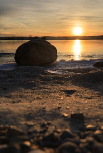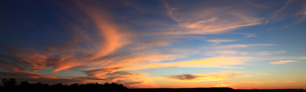
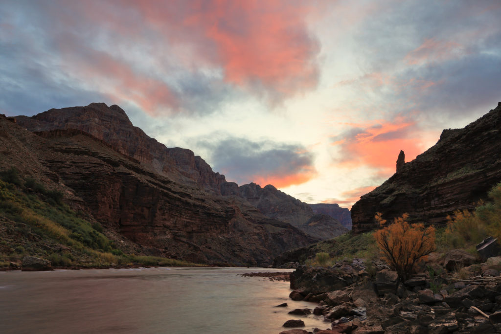
Day 5 of our trip brought a change of pace: our first layover day. As opposed to our usual schedule of breaking camp and moving downstream we instead left the kitchen set up, the sleeping bag out, and spent some time enjoying the same spot again for the entire next day. I started taking advantage of the slow start right away with some photos of the sunrise over the river. This was one of the first days with any clouds, so it was a special treat to have so much color in the sky.
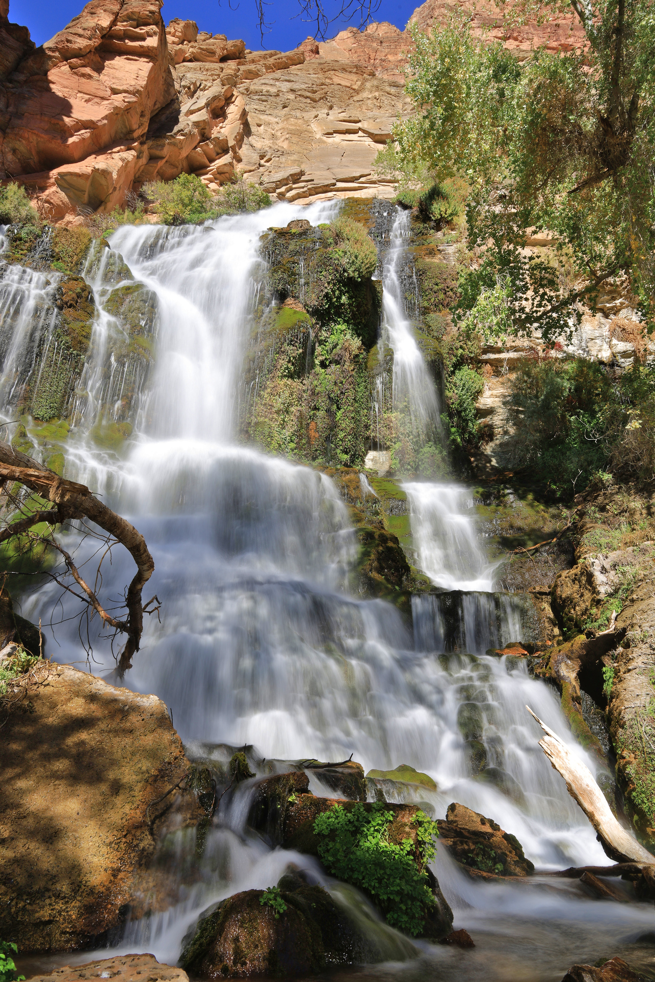
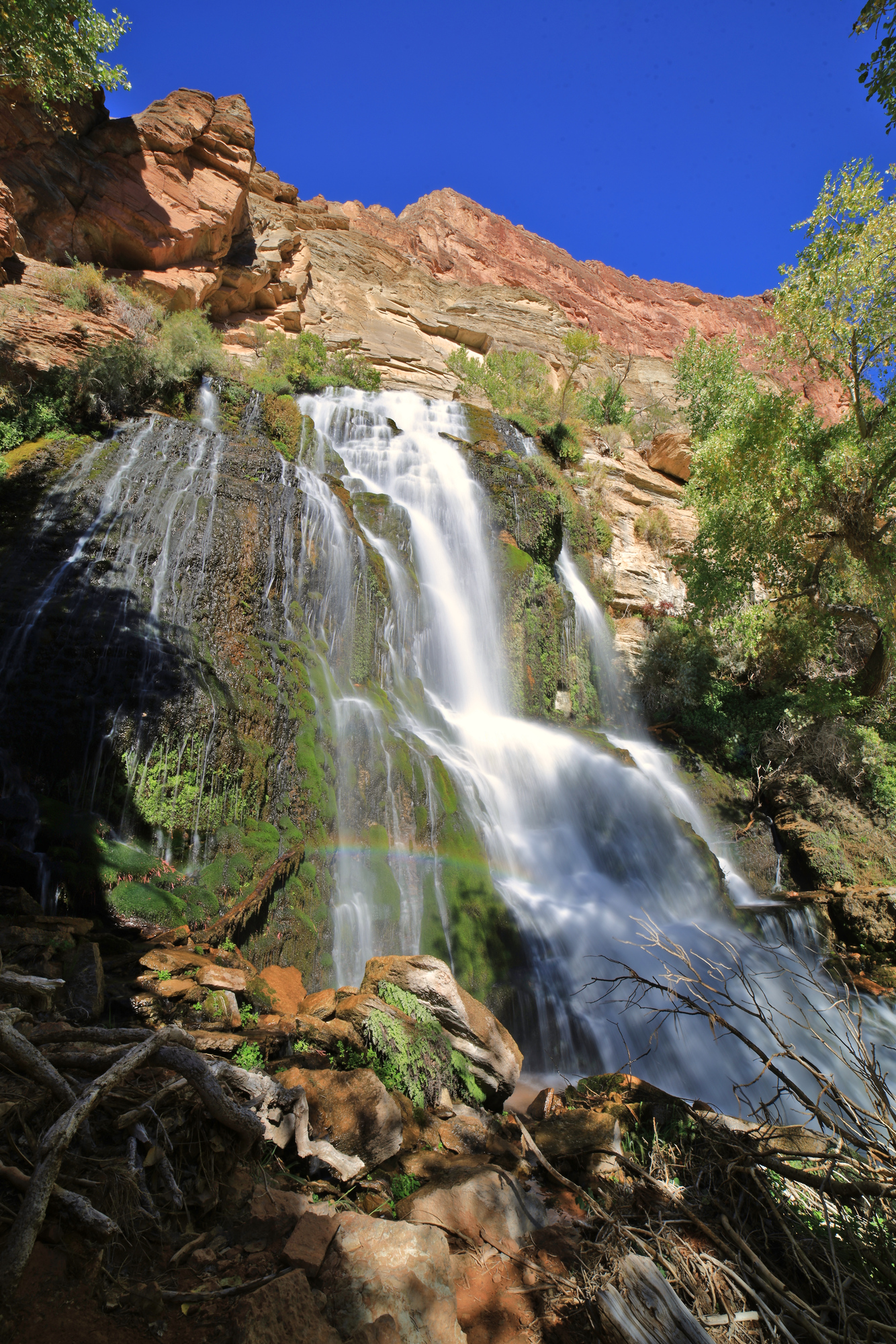
After breakfast we packed up for our biggest side hike yet, a loop through Deer Creek to Thunder River. Because our camp was on the opposite side of the river we first ferried across the river and hiked up the bank to the trail head. After a few minutes to take in the waterfall it was up the steep slope just downstream to get above the falls and into the Deer Creek slot canyon itself.
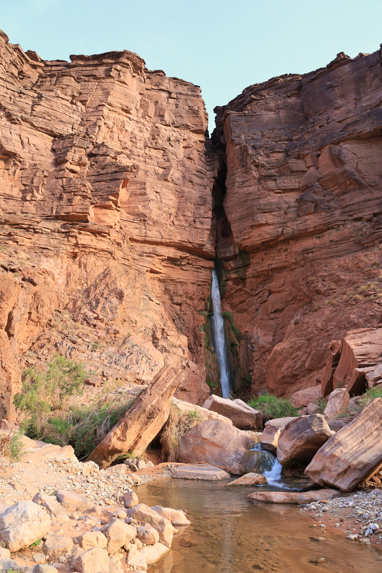
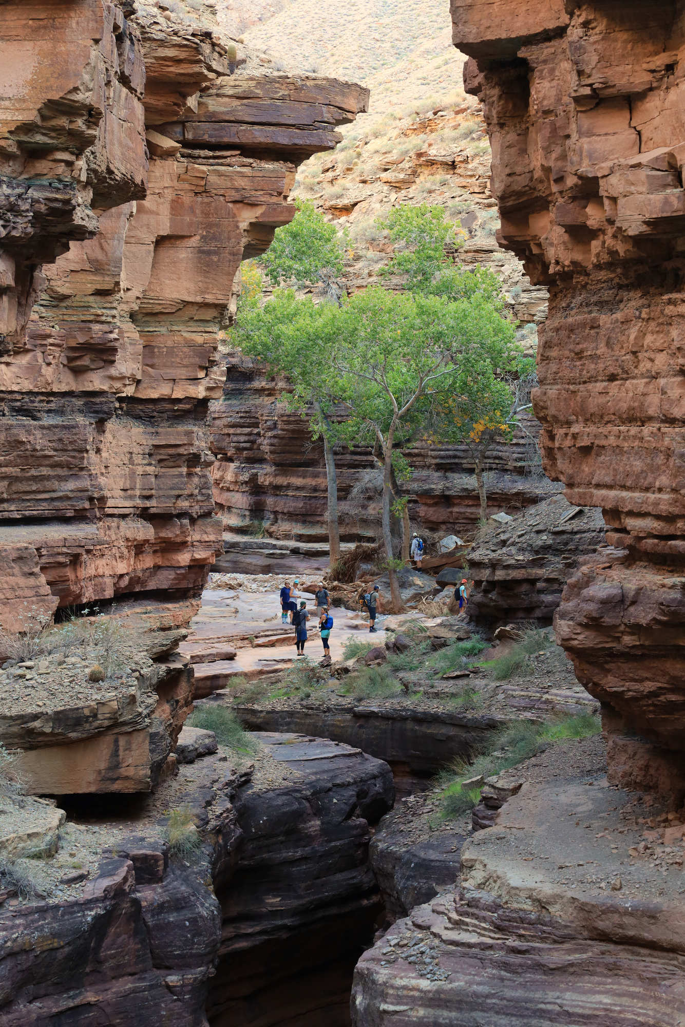
The Deer Creek narrows was one of the most interesting side canyons we explored on the entire trip. The trail ran along a patio well above the river, but also well below the rim. It quickly wound it’s way into the hillside. The sound of the rushing water was quite loud below, though the stream was mostly out of sight. In addition, the trail was quite narrow in some places – probably about 3 feet from the wall to the edge. It all combined to get you to really focus on your footing and hug the wall as you shimmied around the tightest corners.
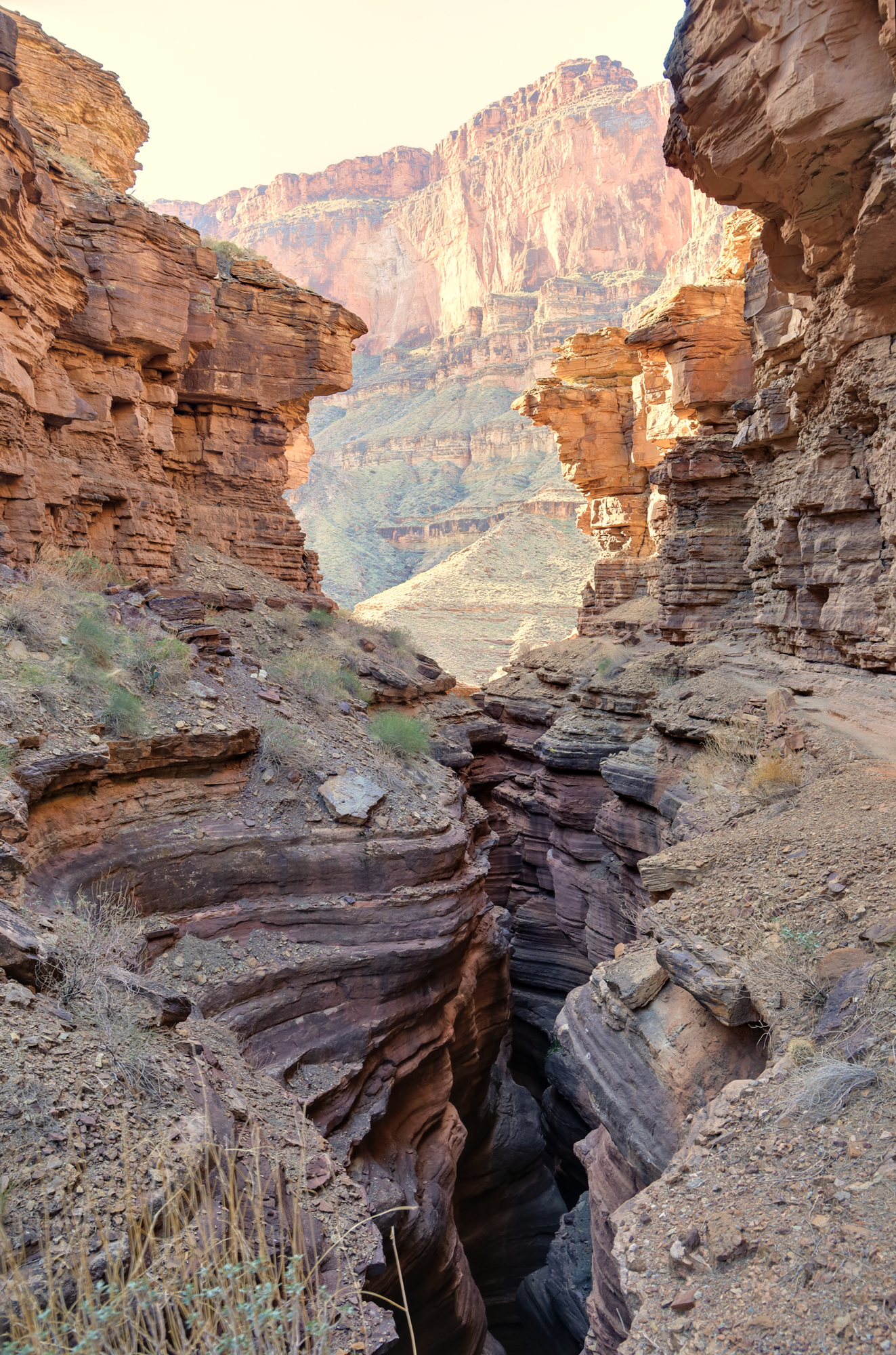
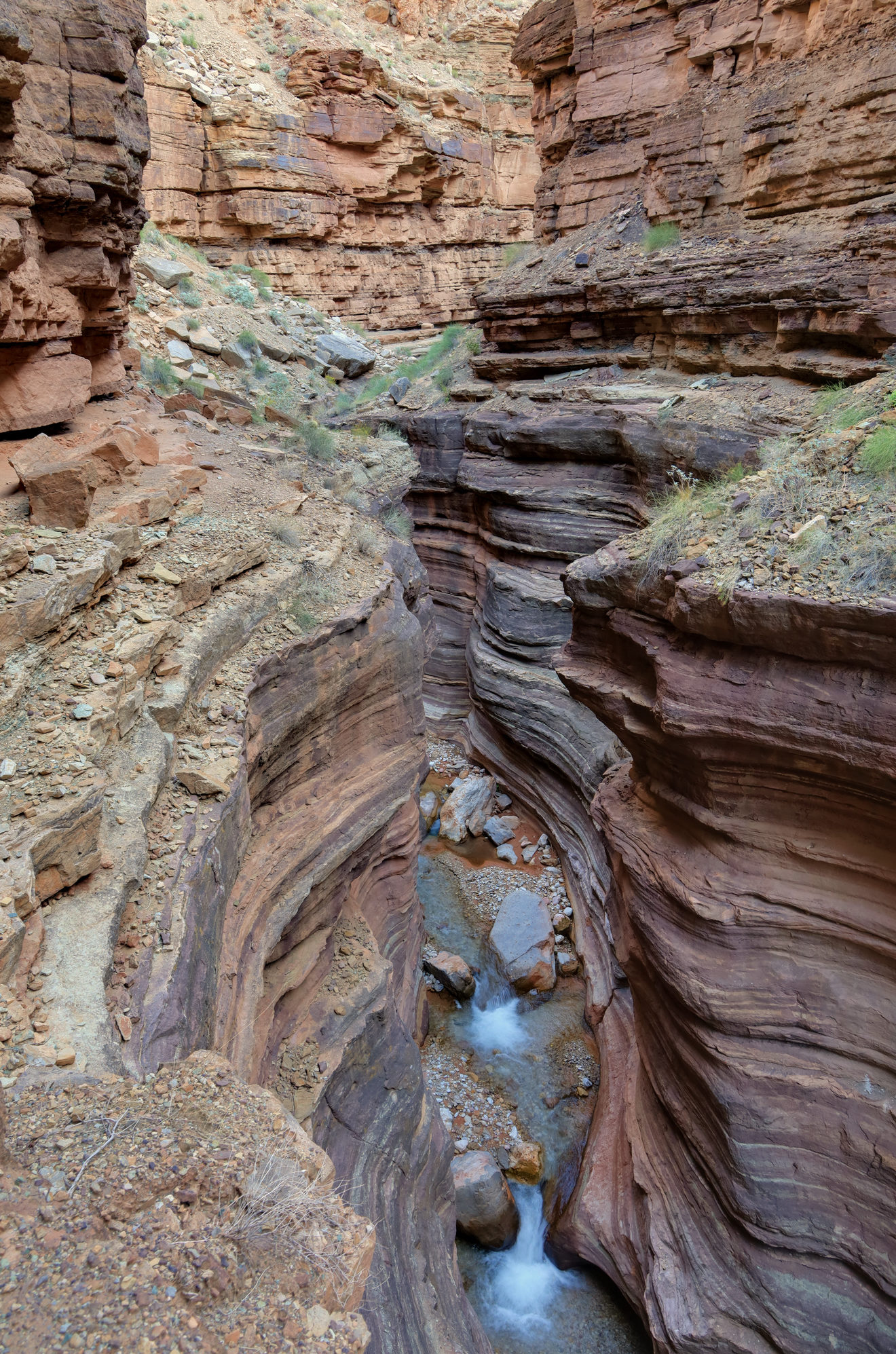
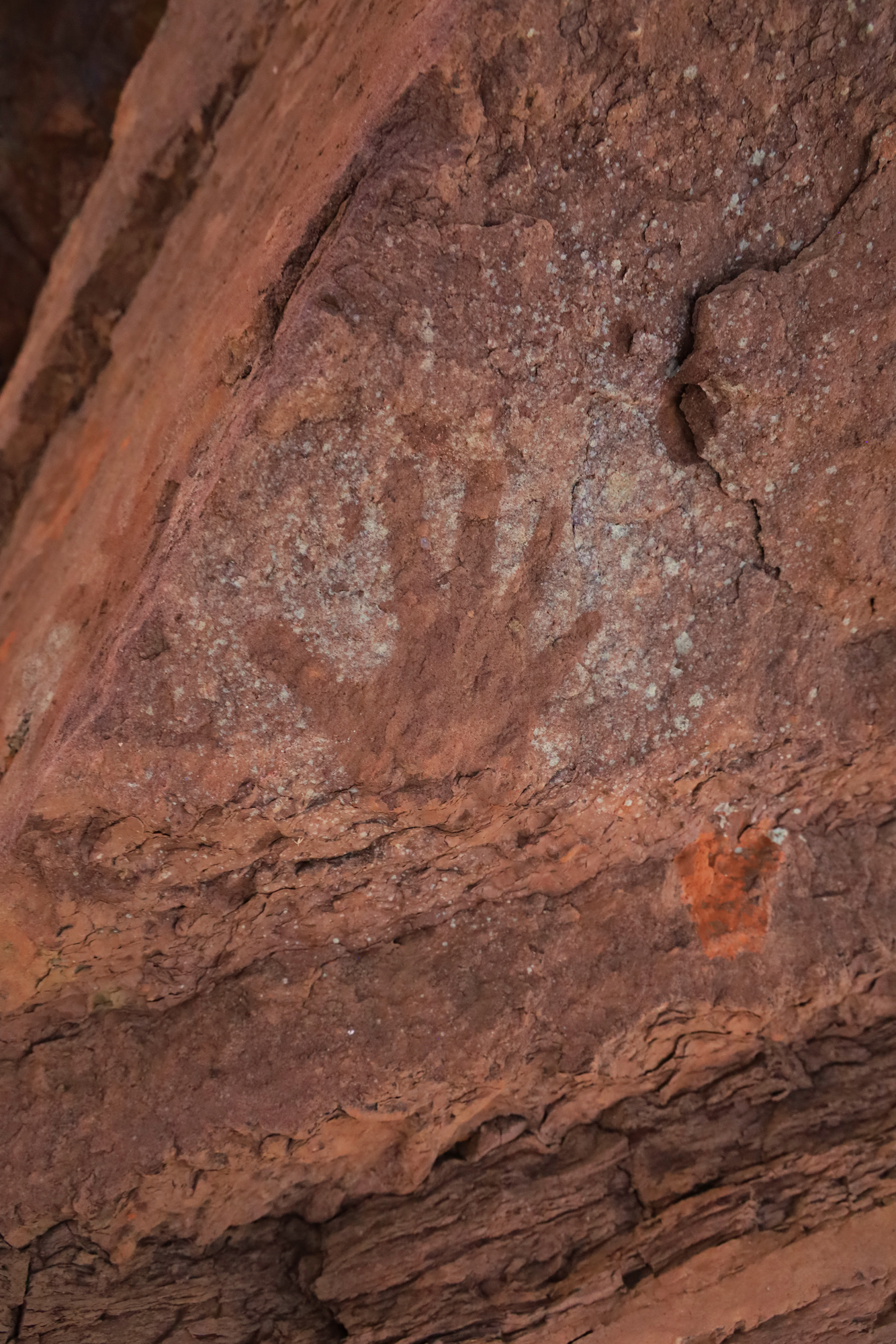
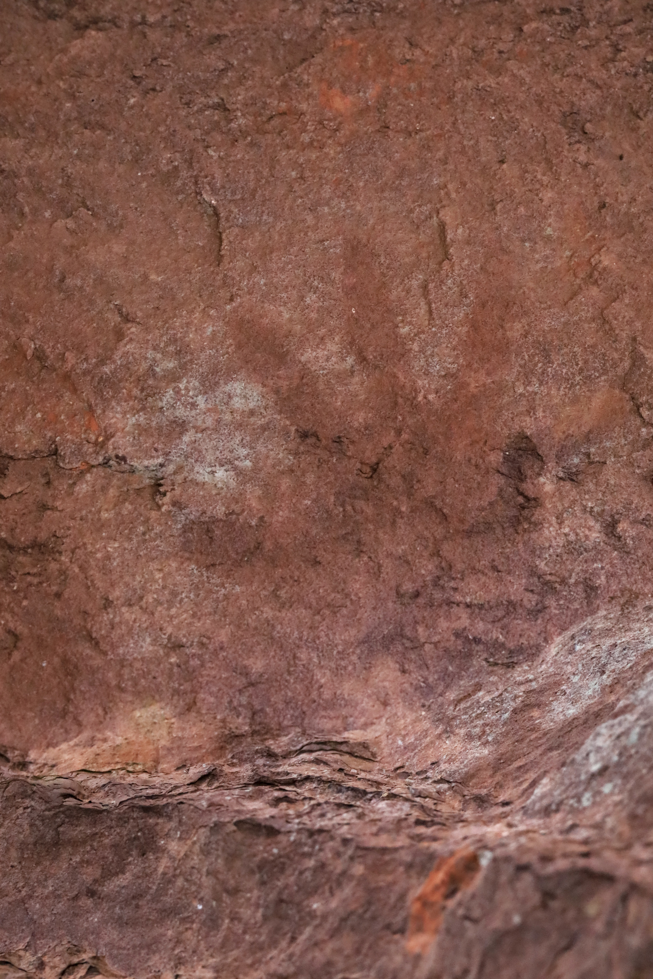
In addition to the natural beauty, Deer Creek is also a cultural site for the Southern Paiute people who have lived in this area for centuries. It’s easy to understand why they felt this spot was special. The Ancestral Puebloan people before them also visited this spot and left hand prints on the walls which are still visible next to the trail today. It’s a very cool thing to see.
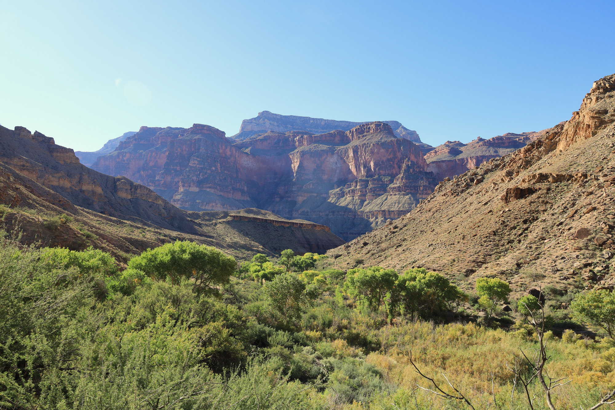
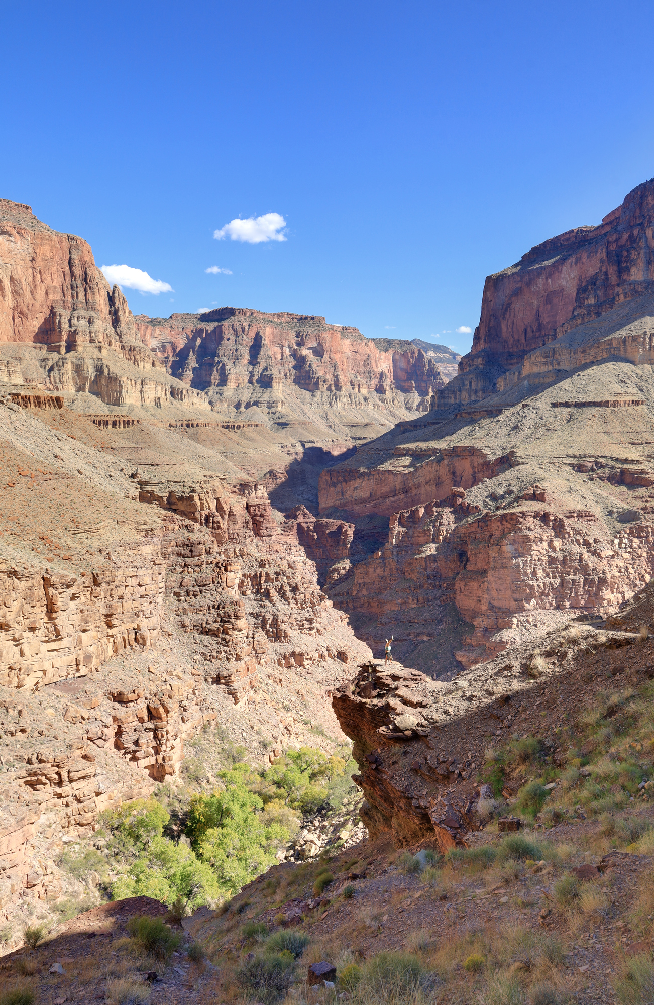
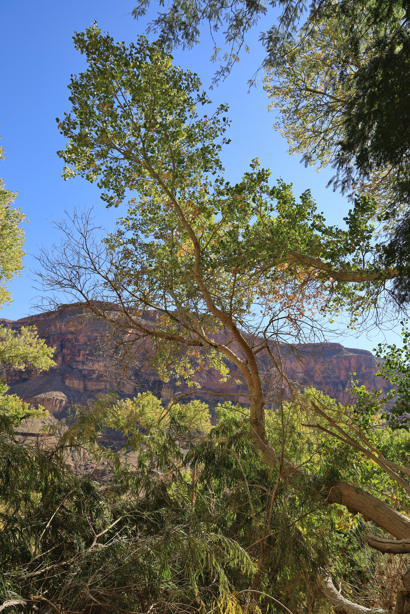
It didn’t take long for us to hike out the top of the Deer Creek narrows and into a beautiful green valley above. From here the climb continued up and over a pass towards the next major destination on the hike, Thunder River. The hike was a steady climb followed by some easier traversing. The views through here were substantially different than what we had been seeing along the river. Much more open, flat, and green.

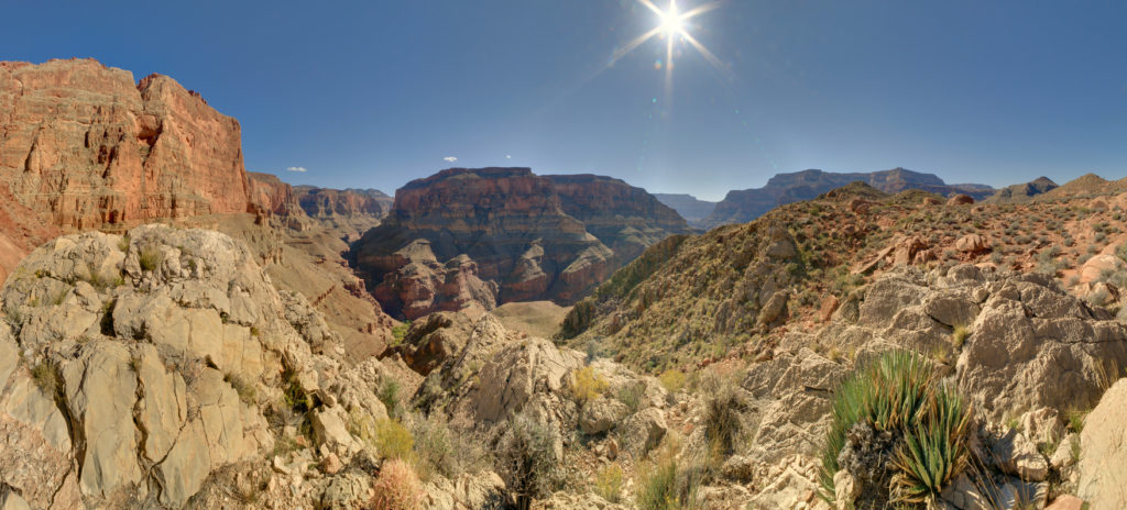
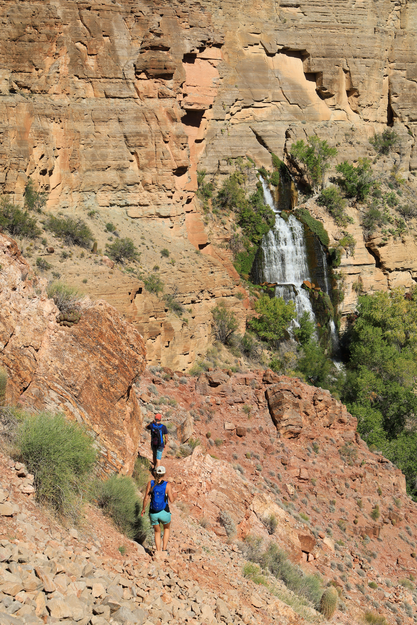
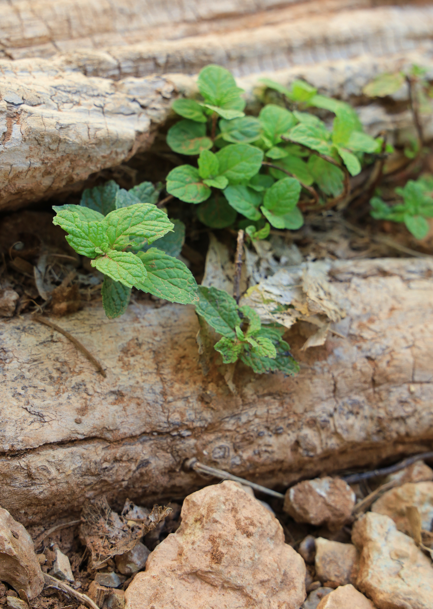
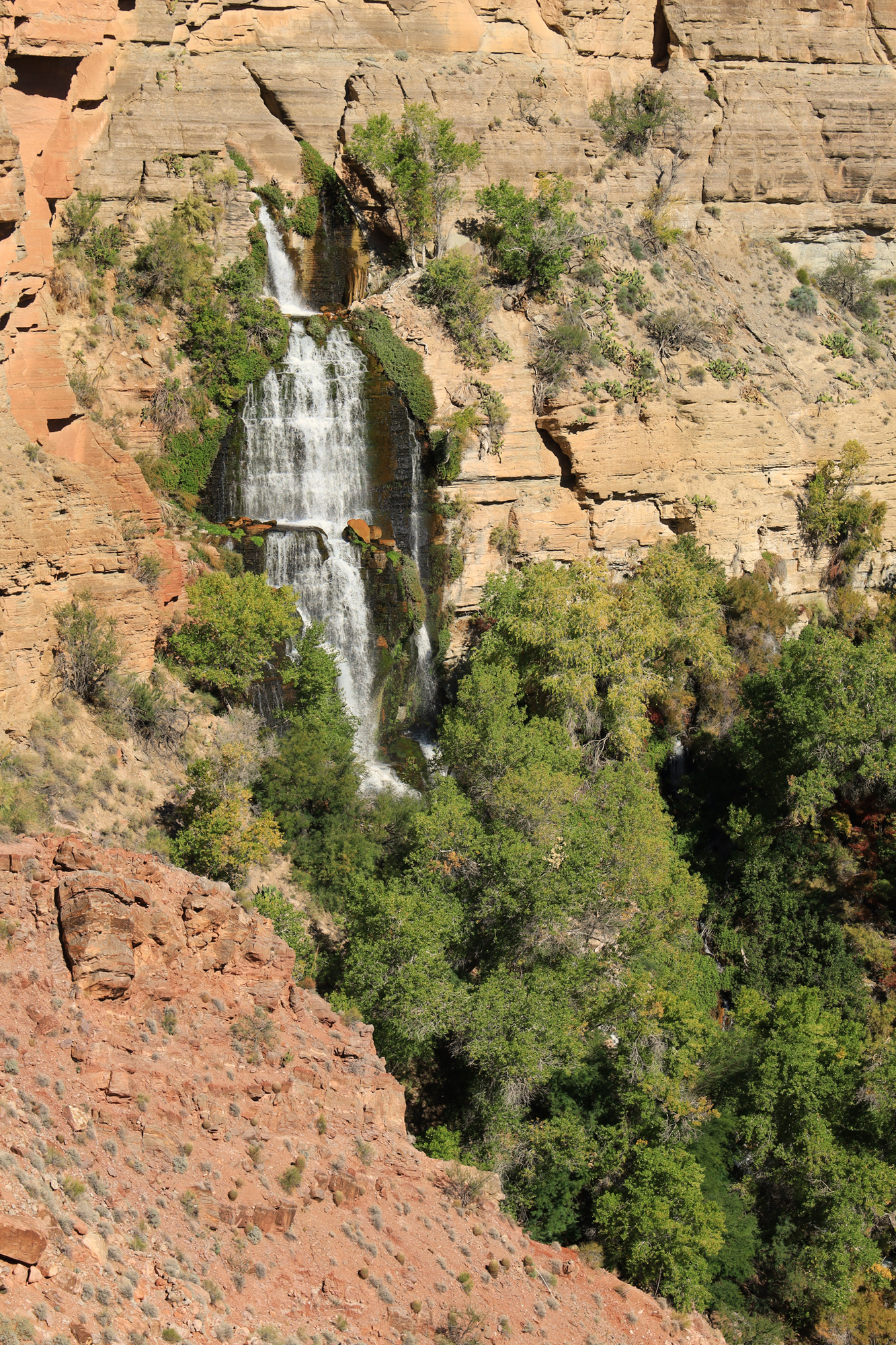
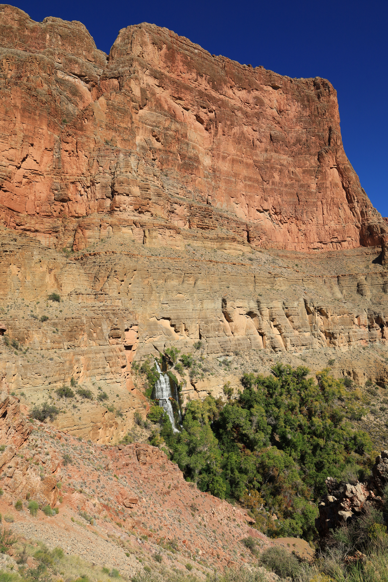
After all of the incredible beauty we had already visited on this hike, I was not expecting to have it all outdone once again. I was wrong – the Thunder River spring ended up being my highlight of this hike. Our first view of it came after we crossed Surprise Valley started to descend down towards Tapeats Creek. The Thunder River simply pours out of a hole in the cliff wall. It must be fed by a cave system, as there is no sign of water above the top of the falls. The volume of water was also impressive, and made for a lot of noise as it rushed down. We worked our way down to the base of the waterfall which was surrounded by lush vegetation. A true oasis in the desert.
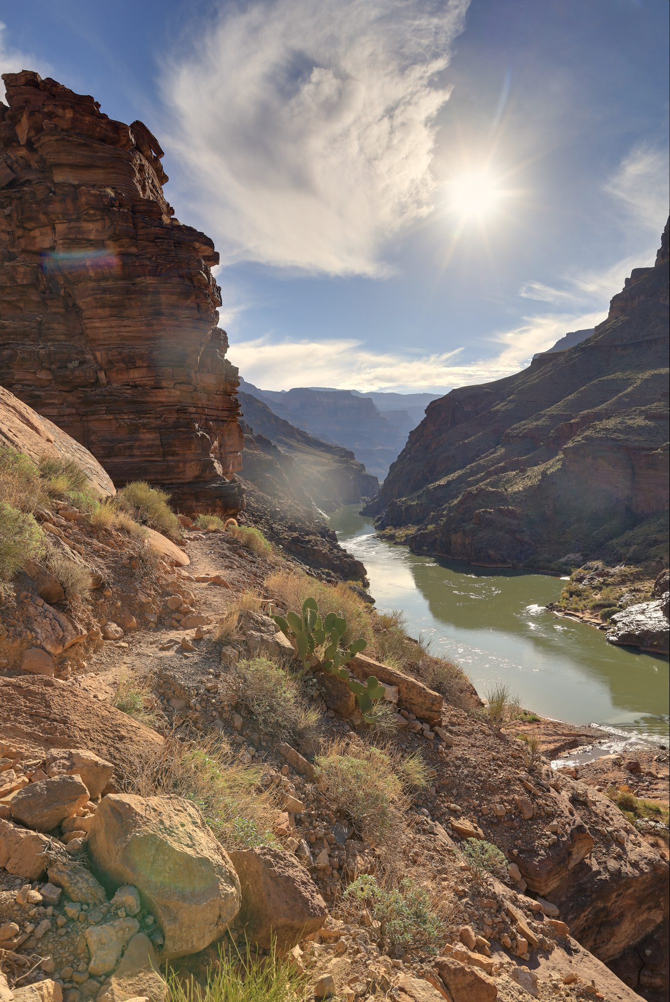
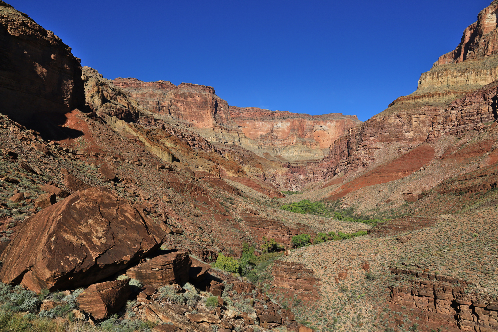
From the falls we started the long hike back down to river and out of Tapeats Canyon. We first followed the Thunder River to the confluence below, and then followed Tapeats Creek out to the Colorado. The trail through this section started off with some steep descent, and then became a set of rolling climbs and descents as it meandered it’s way through the side canyon.

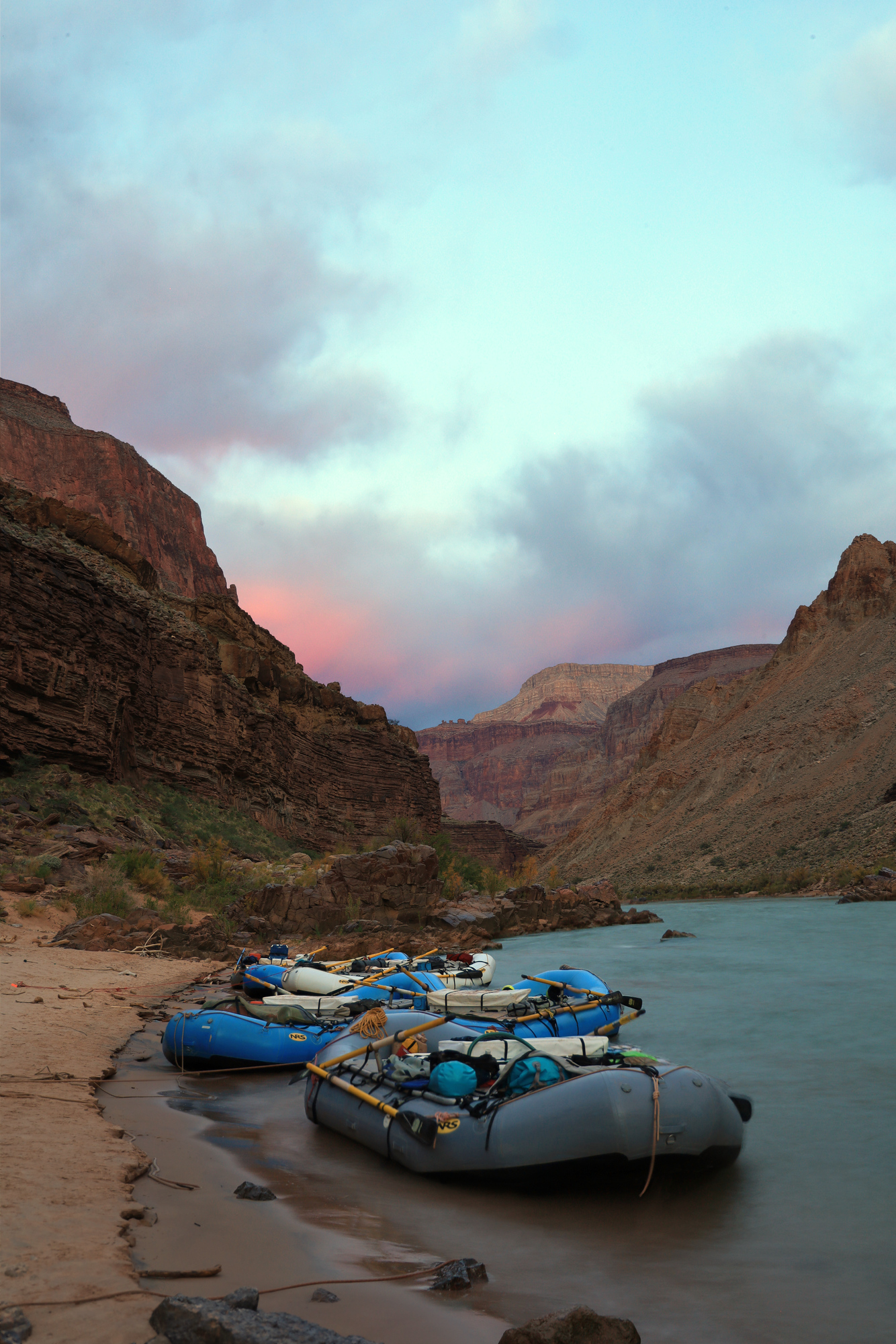
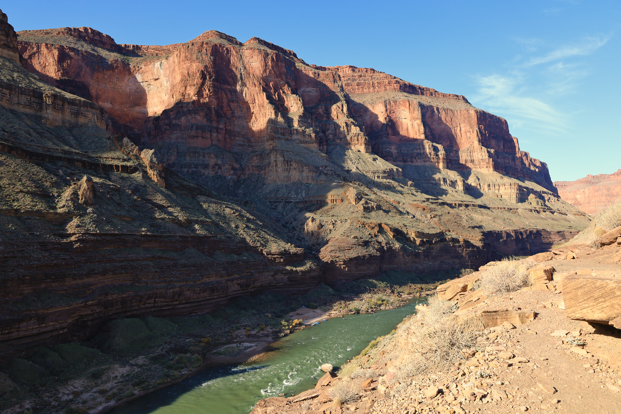
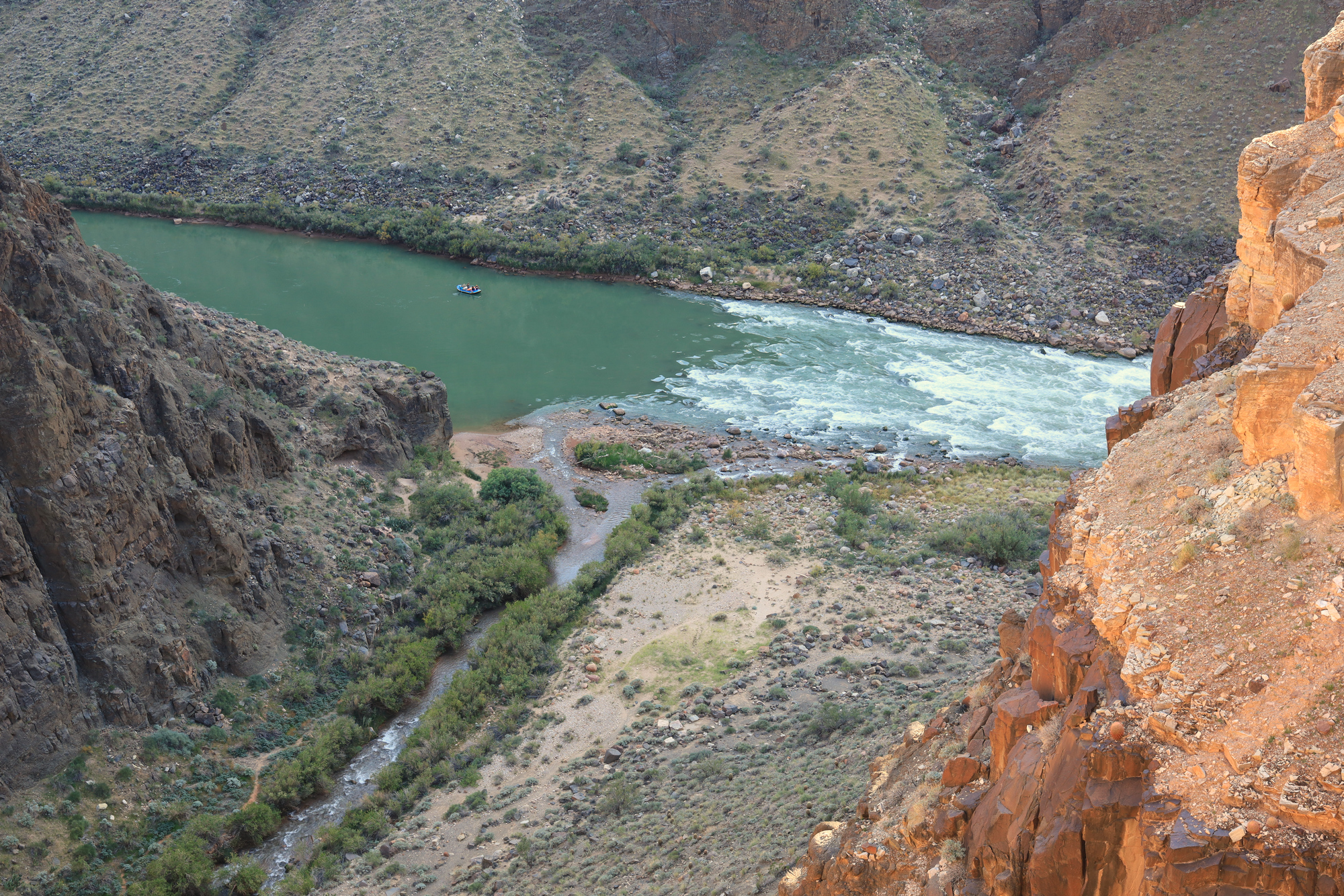
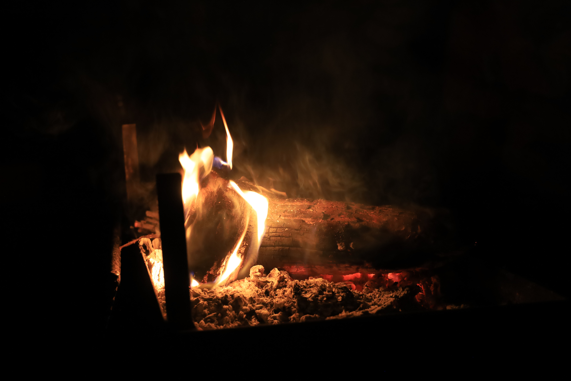
The hike turned out to be longer than expected, coming in at around 9 miles. We all had to stop on the final section to re-fill our water and rest a bit before we finished off the remainder of the (hillier than expected) traverse to the river. Once we made it to the river it was time to grab a drink, relax, and float back down to camp on the boats we had left the previous day. It was a treat to be able to float through the narrows again a second time, but our camp was definitely a welcome sight as well. After all, dinner always tastes great after a long hike!


FOV: 22 x 32
Ev: 10.91")

FOV: 28 x 40
Ev: 13.64")

FOV: 30 x 42
Ev: 14.64")

FOV: 48 x 66
Ev: 13.98")

FOV: 51 x 71
Ev: 13.98")

FOV: 51 x 72
Ev: 9.25")
Taken 10/31/21