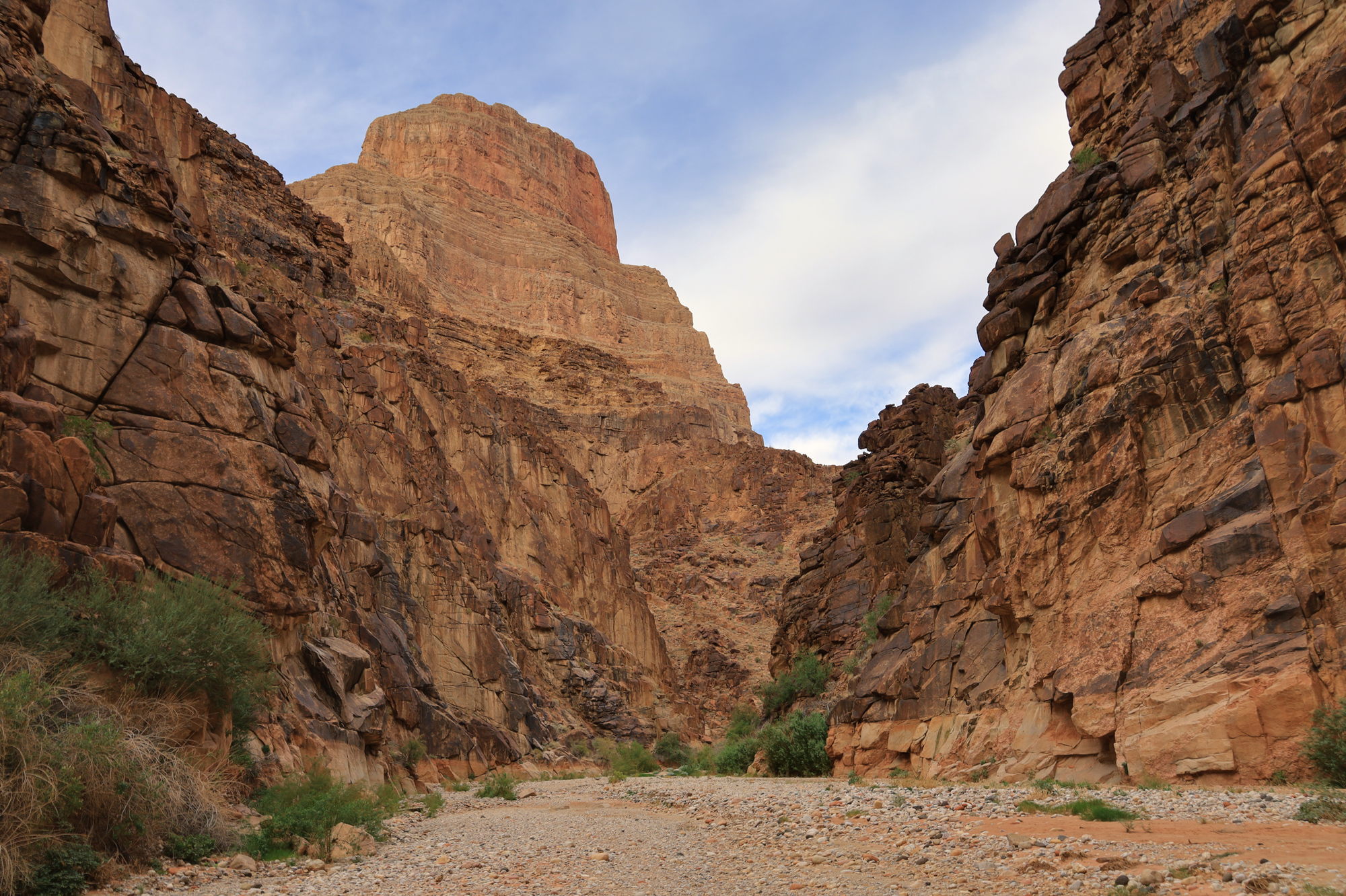
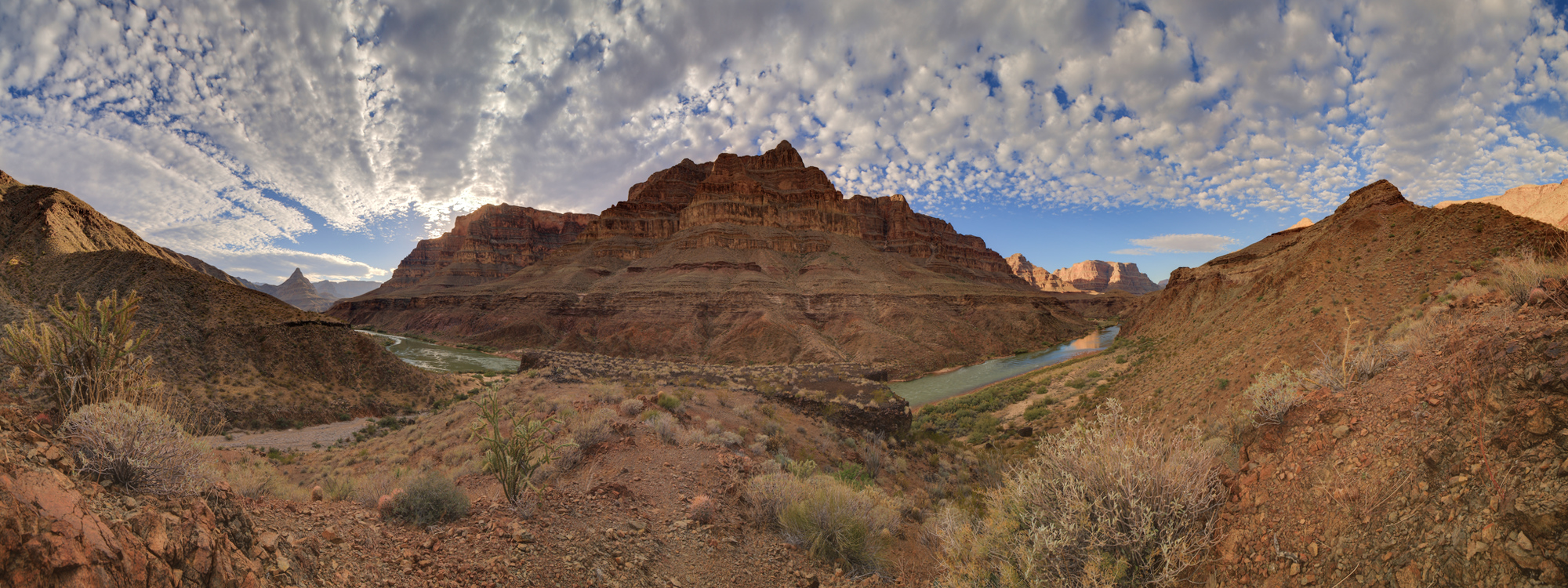
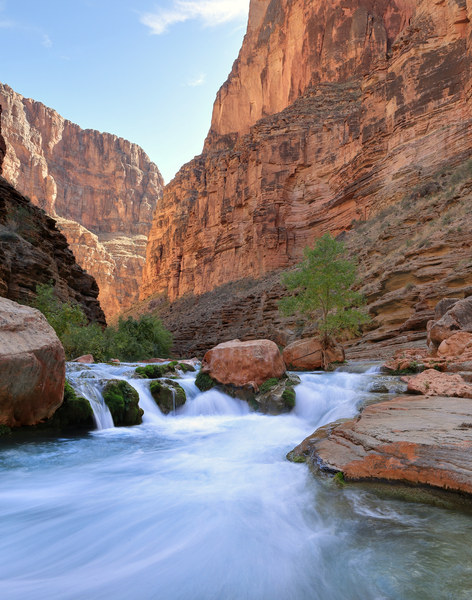
Bridge Canyon to Surprise Canyon – Grand Canyon Day 14

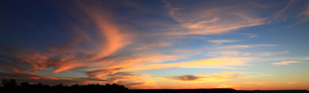
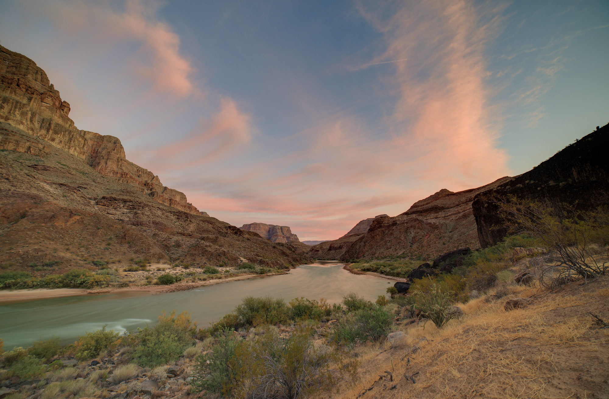
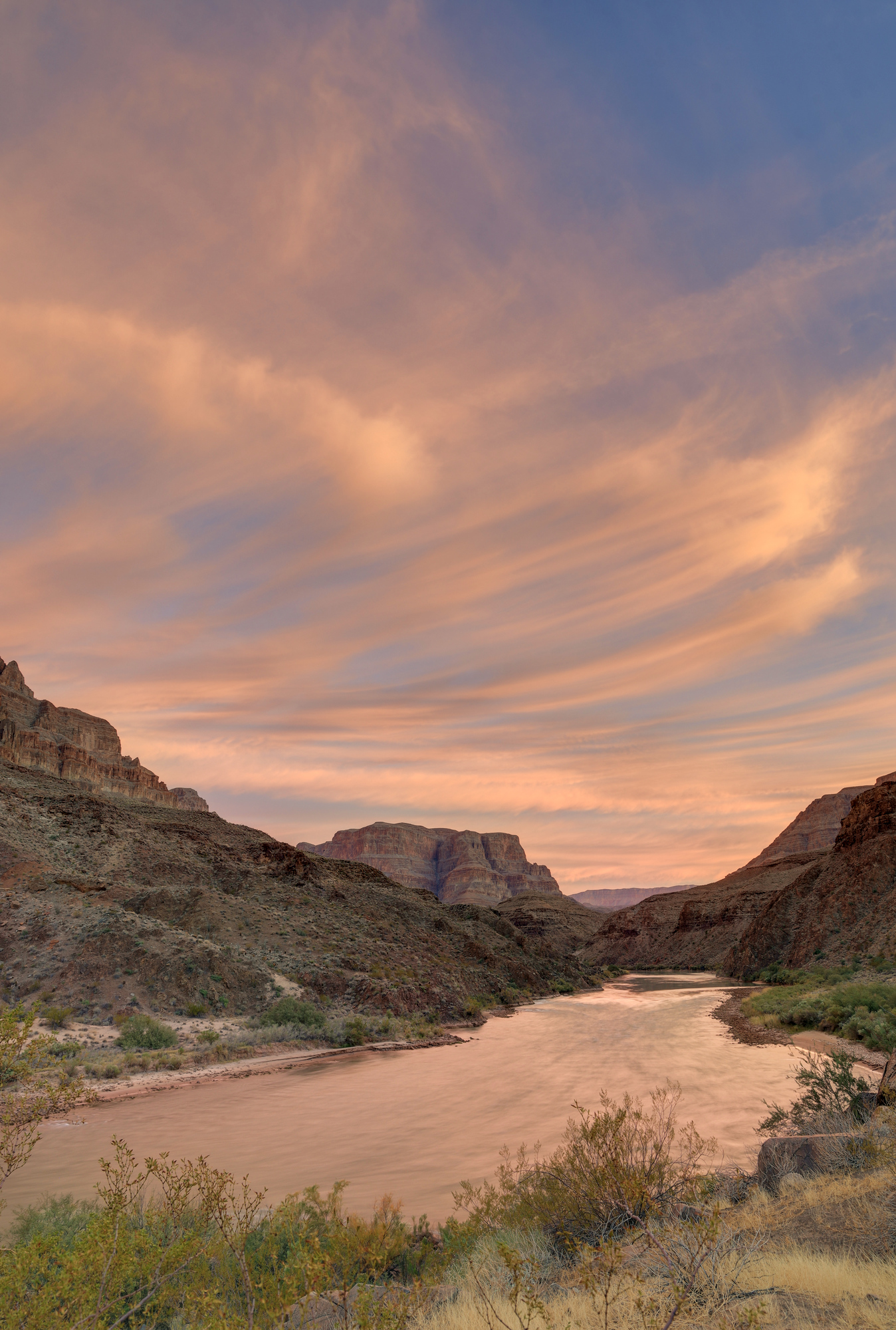
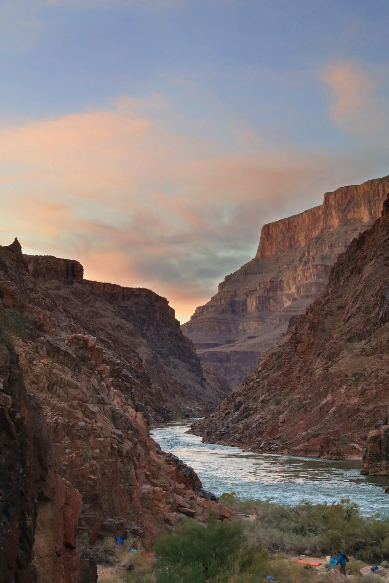
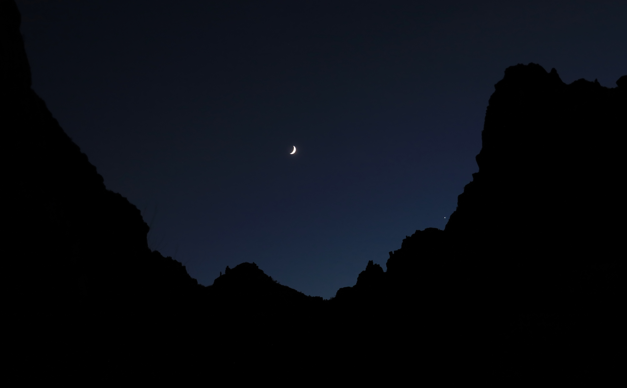
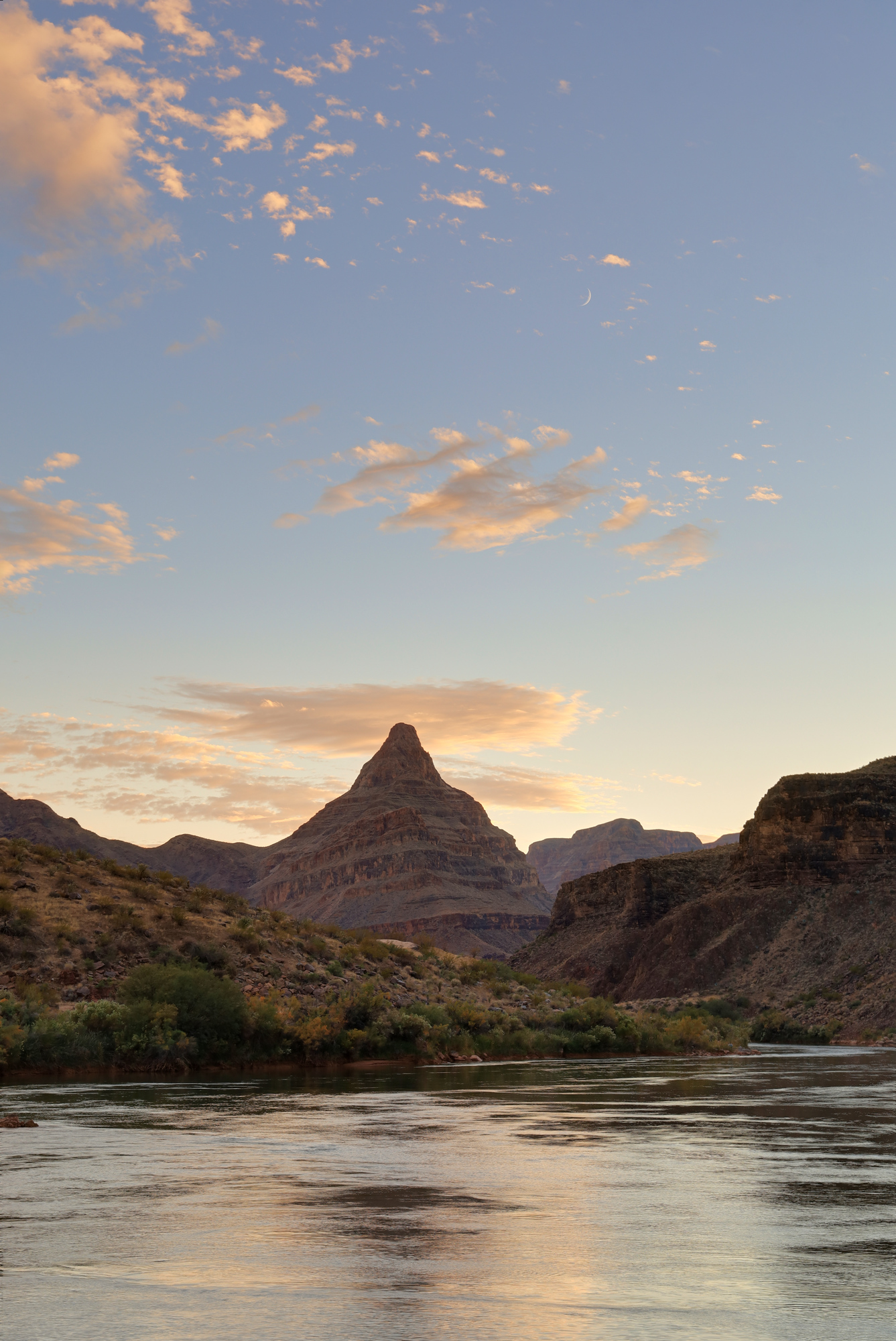
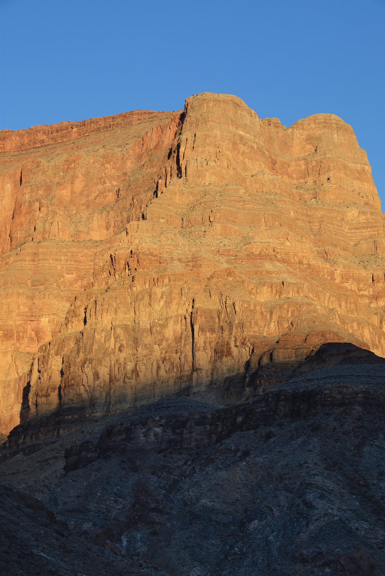
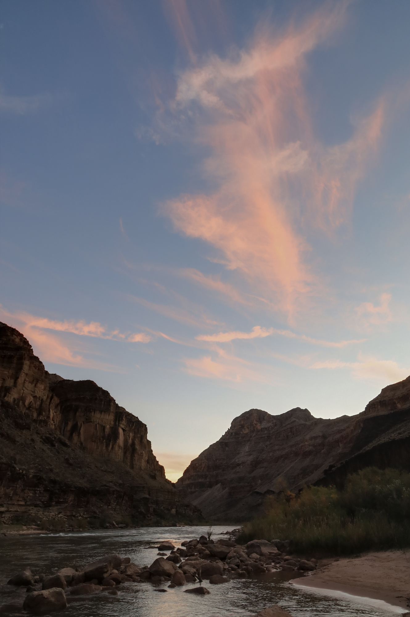
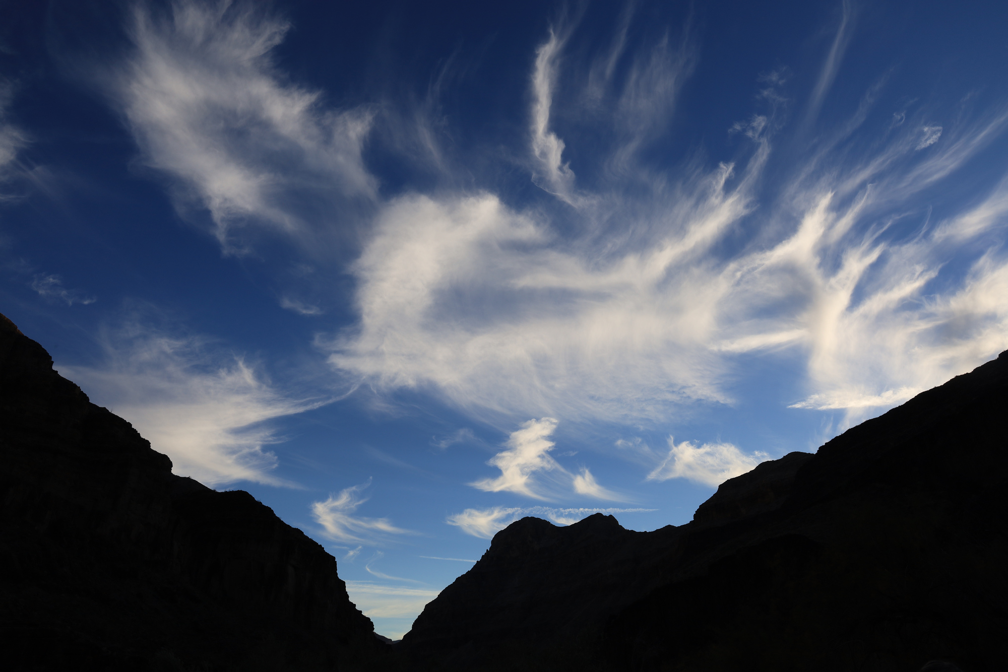
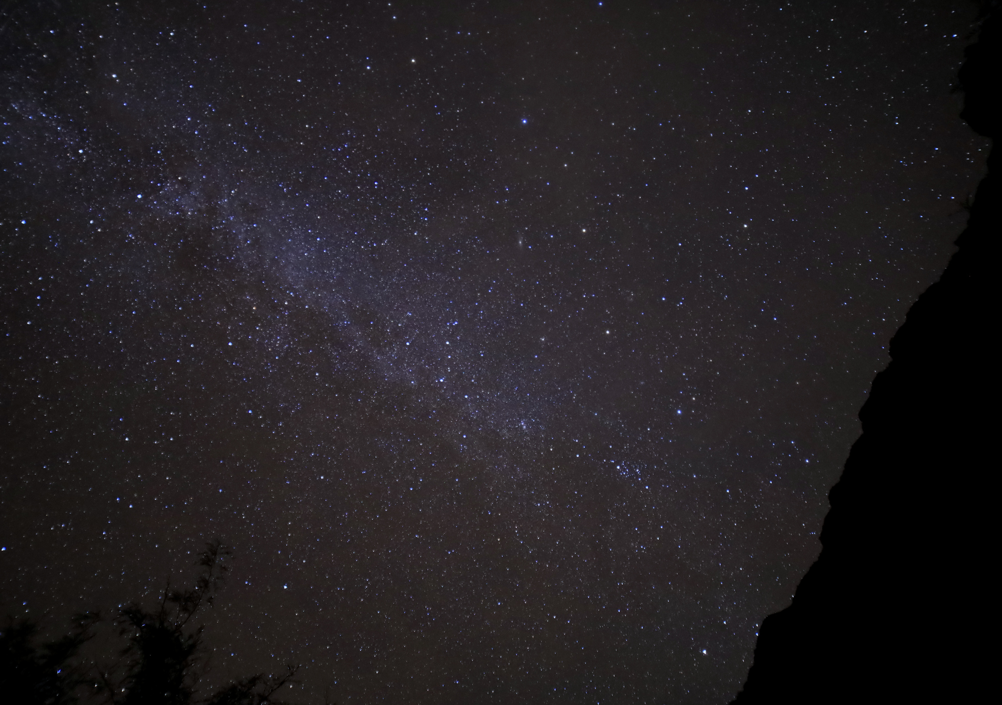
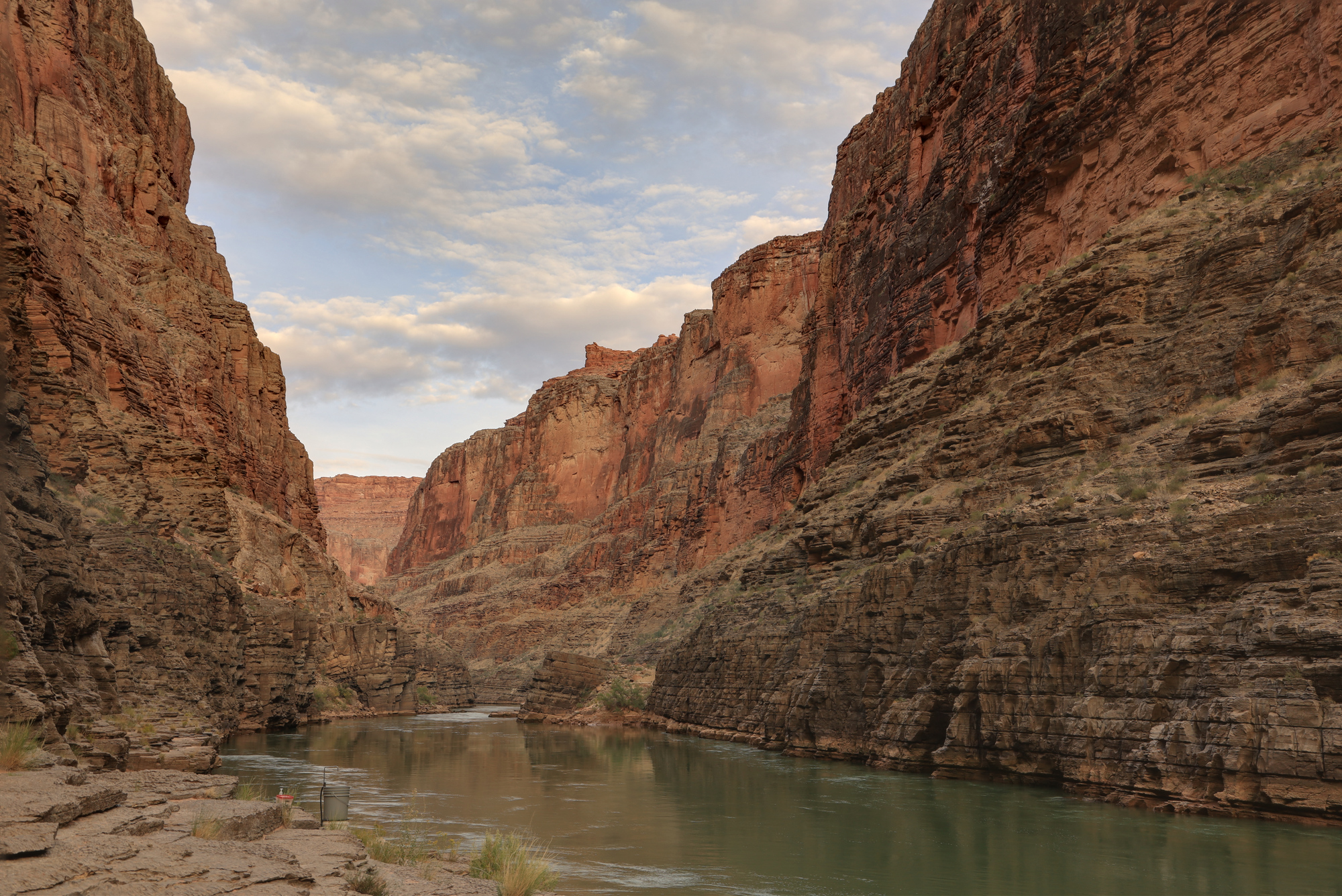
With the awesome sunrise from the previous day I was inspired to get up early once again and see what the sun had in store for Bridge Canyon. My hopes weren’t all that high given how tight the canyon is here, and the relatively thick clouds all above. I was completely wrong though, and this turned out to be the best sunrise of the trip.

The early sunrise
Looking upstream with the sunrise reflecting off the water

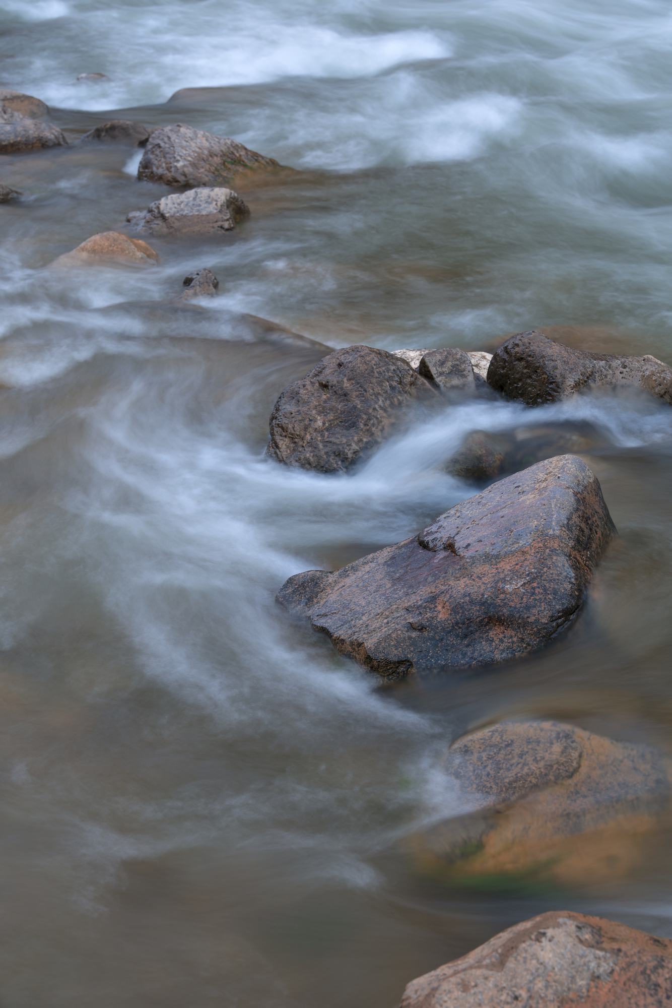
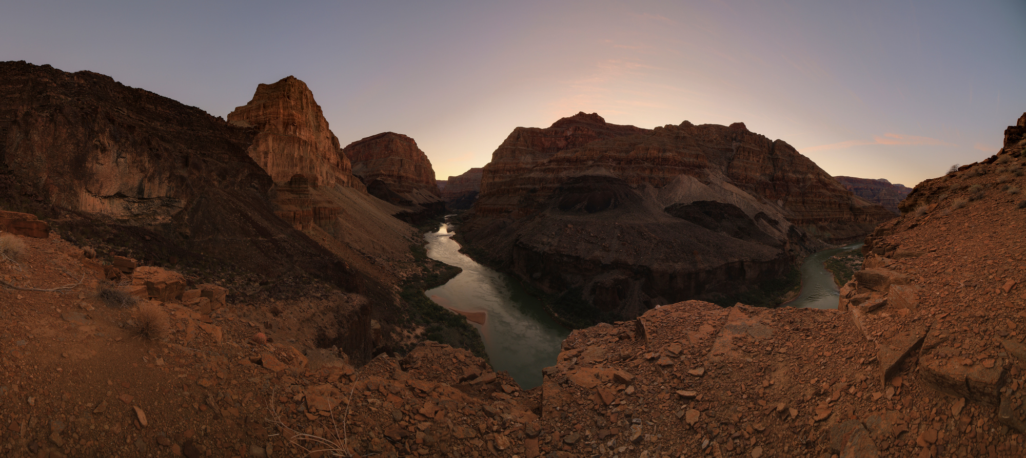
The sunrise came in two phases. The first was pretty, but mostly consisted of muted pinks and some blues hinting at purple. There were a few pockets of more vibrant color near the horizon, but of course my view of that was limited. Soon the color faded and I started to look around at the waves and water instead. However, before I could capture much of anything the sky lit up all over again, this time with wild colors all around.

Sunrise – round two
The late sunrise was so vibrant that even the rocks around me looked pink

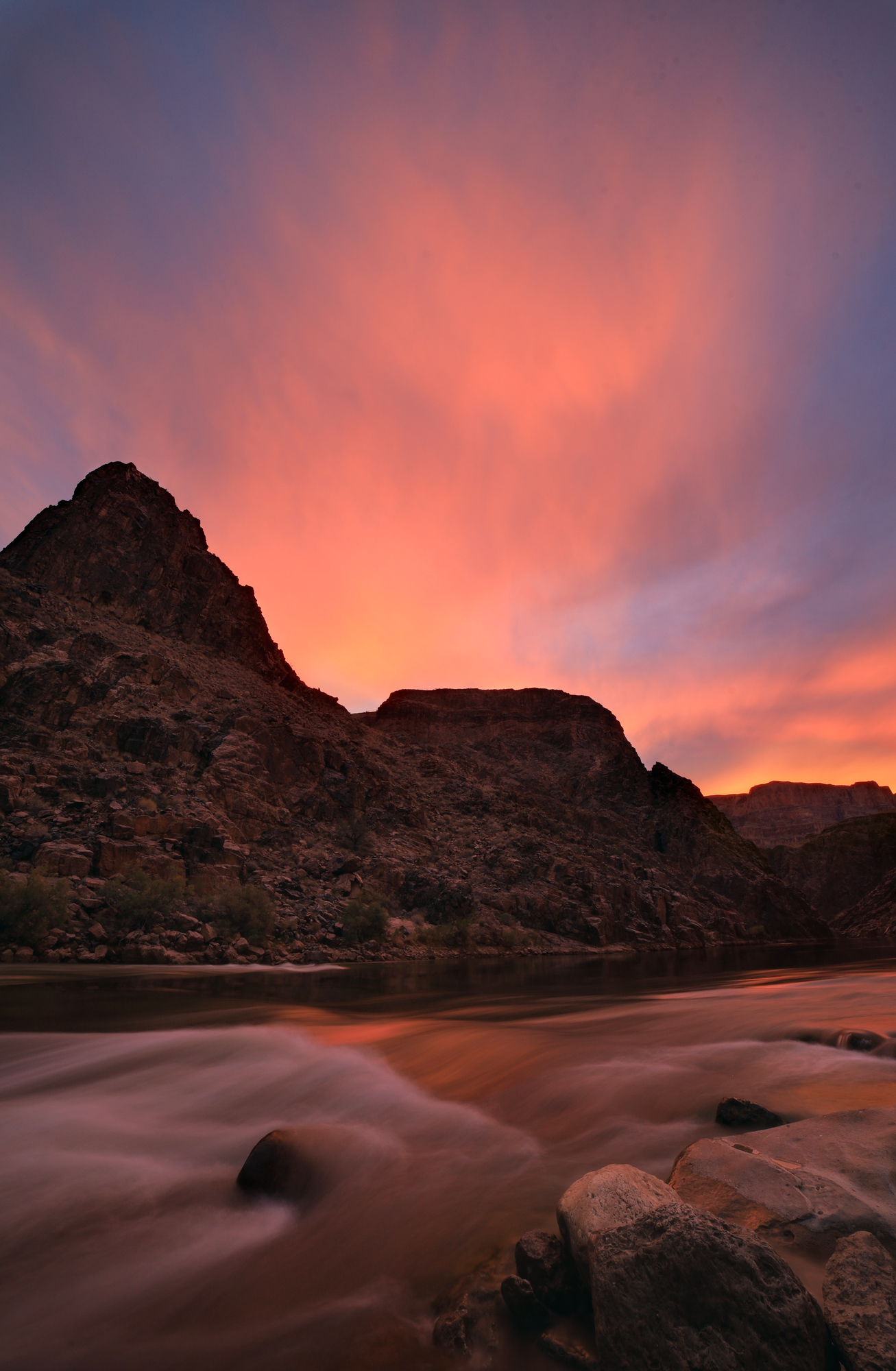
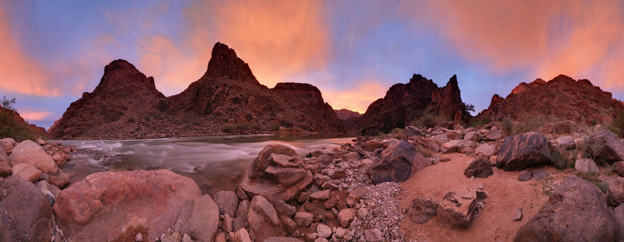
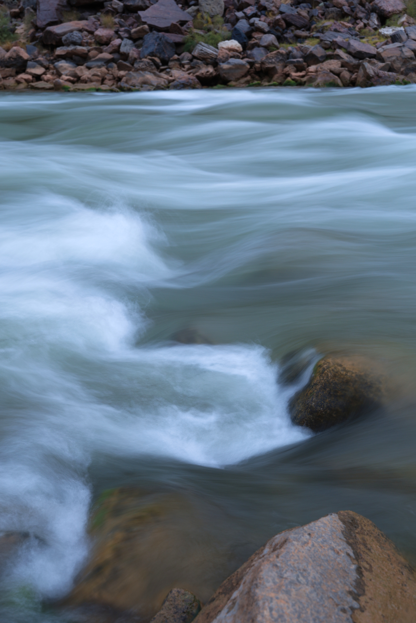
It was really something quite special. I had a great time photographing it all, even though my photos didn’t really do it justice. The second round of color was short lived, and before I knew it we were on to the early morning light without any of that color. Don’t worry – I did get back to those photos of the waves.

A little different take on the whitewater that serenaded us all night

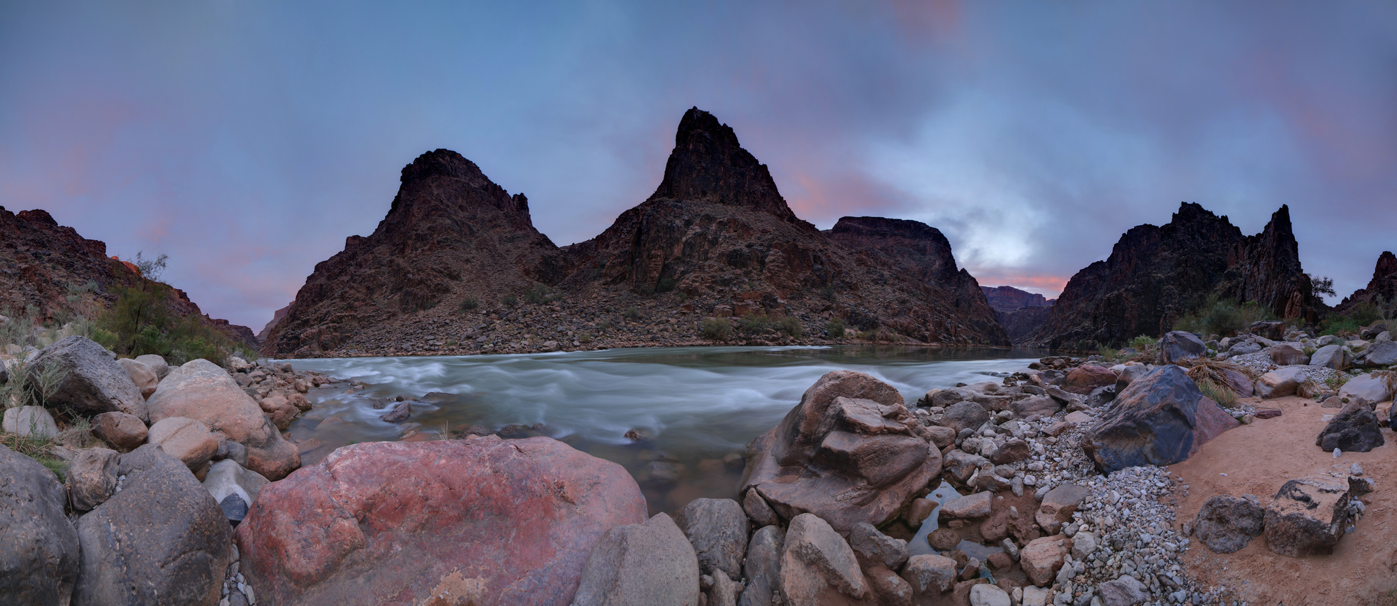
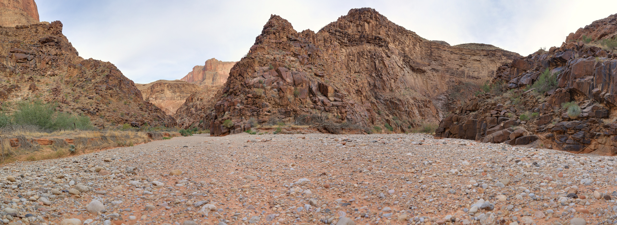
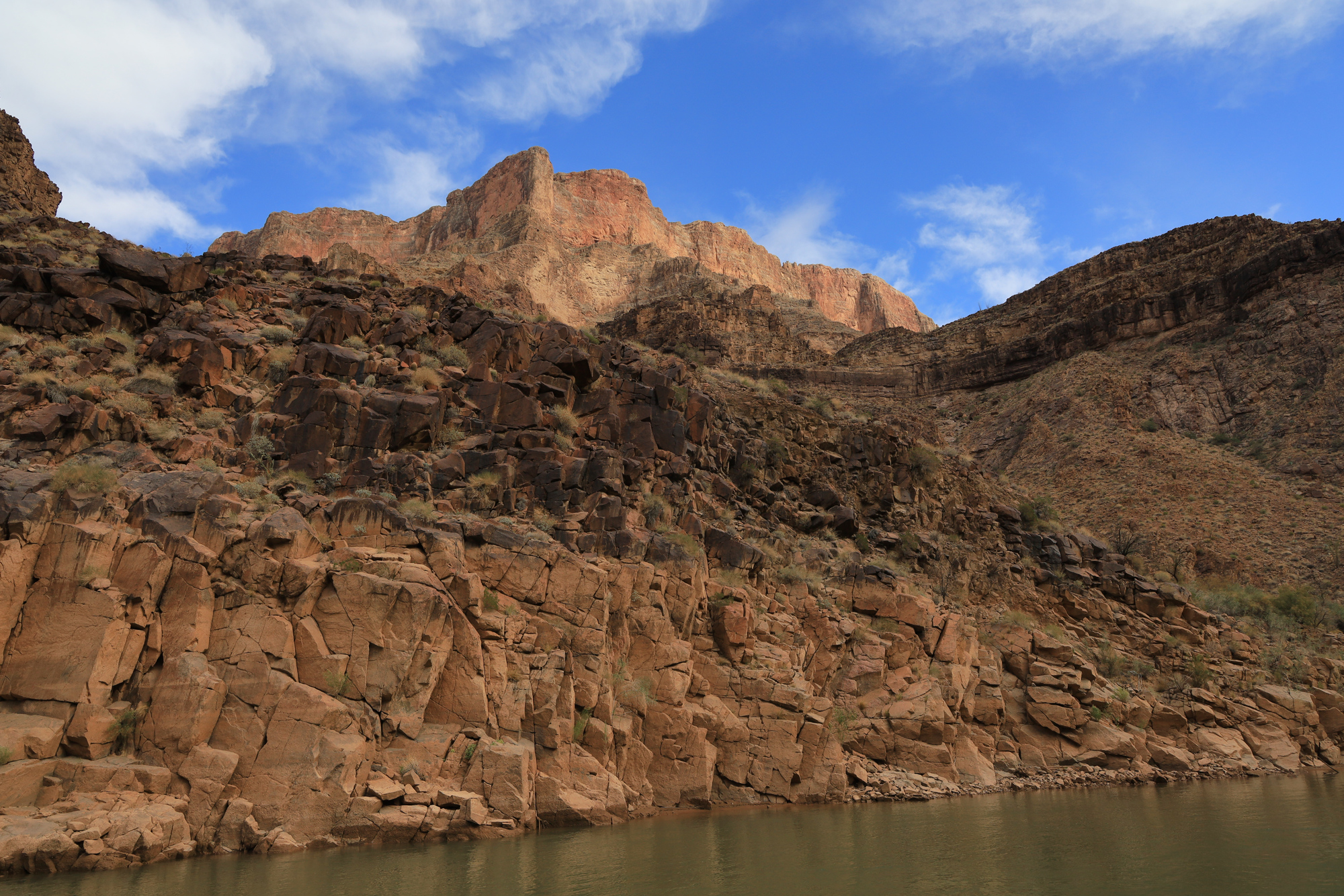
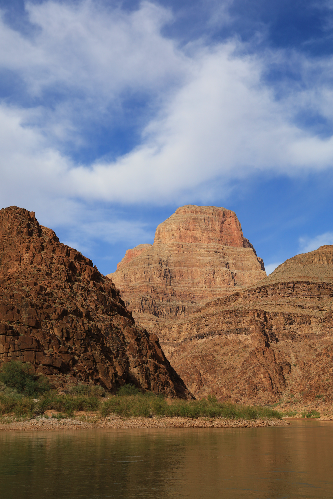
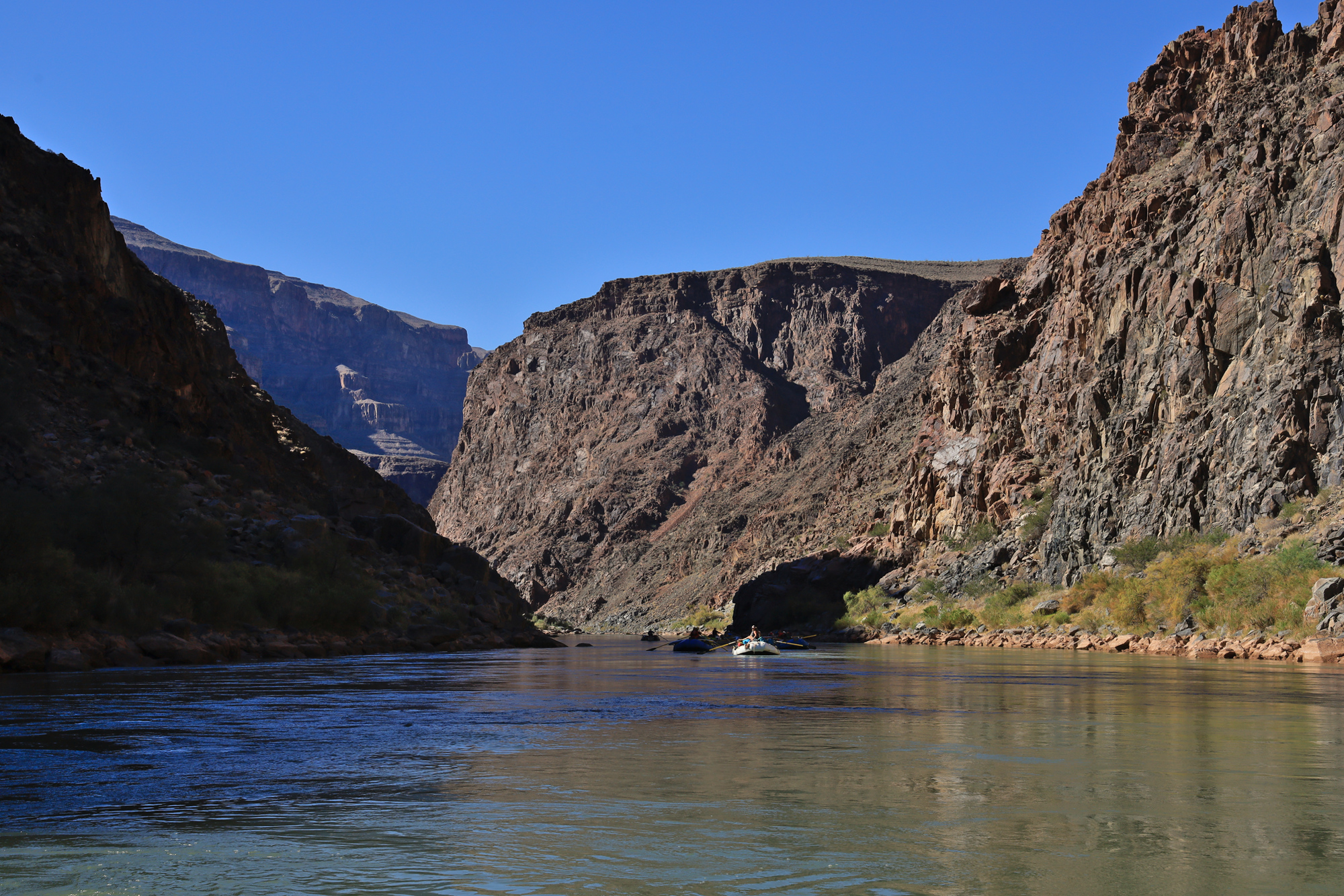
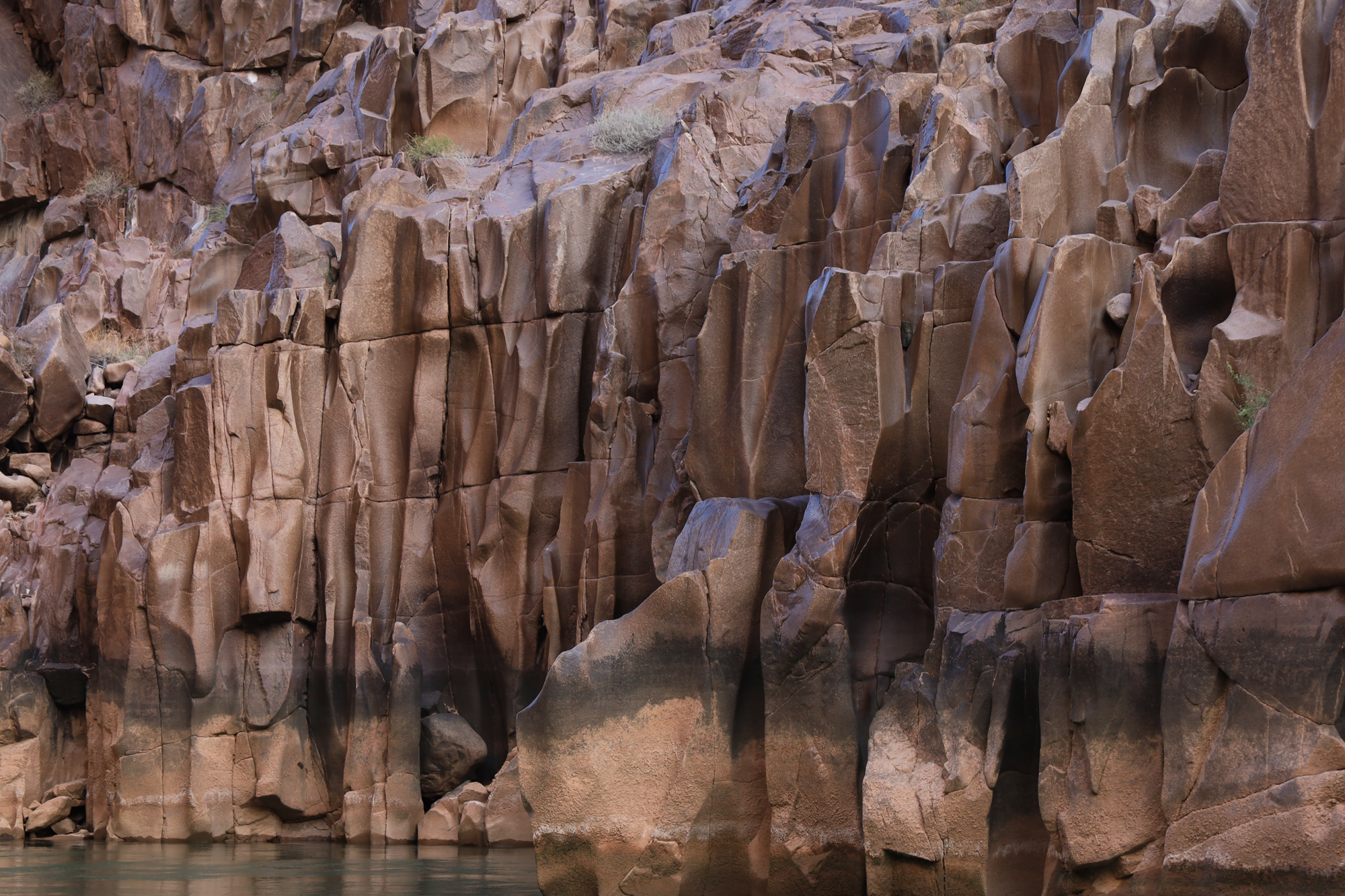
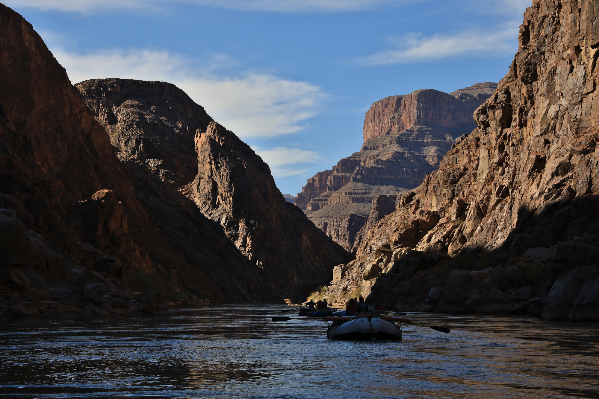
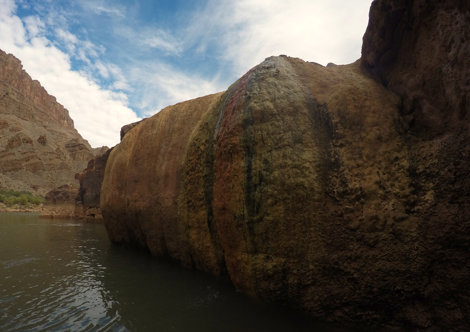
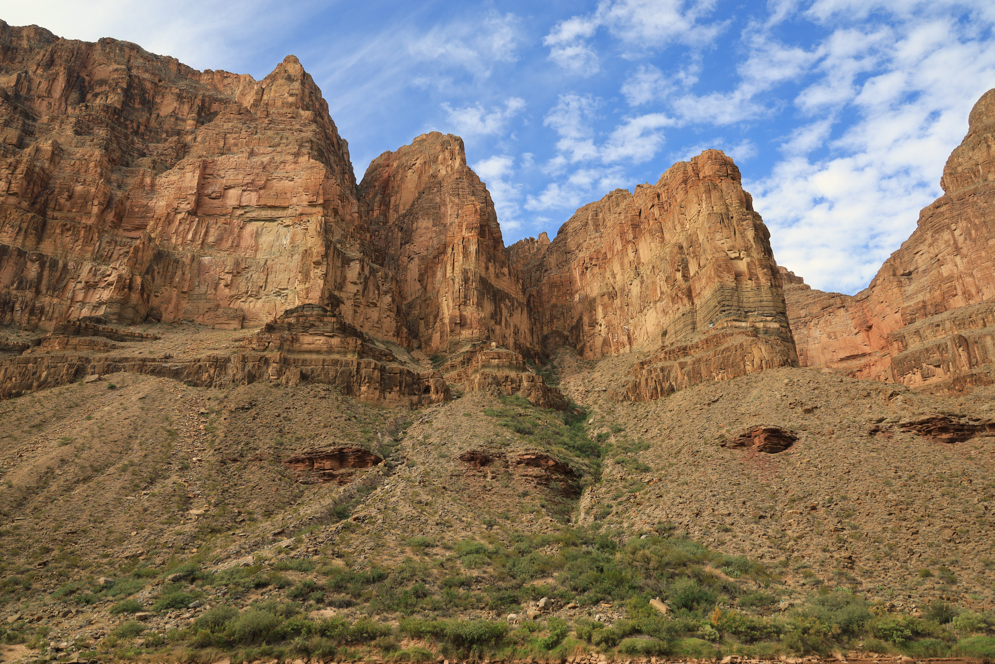
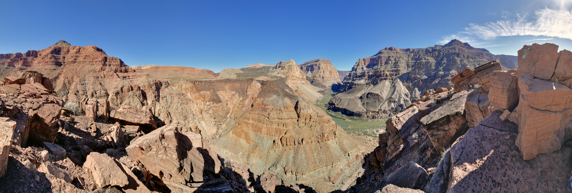
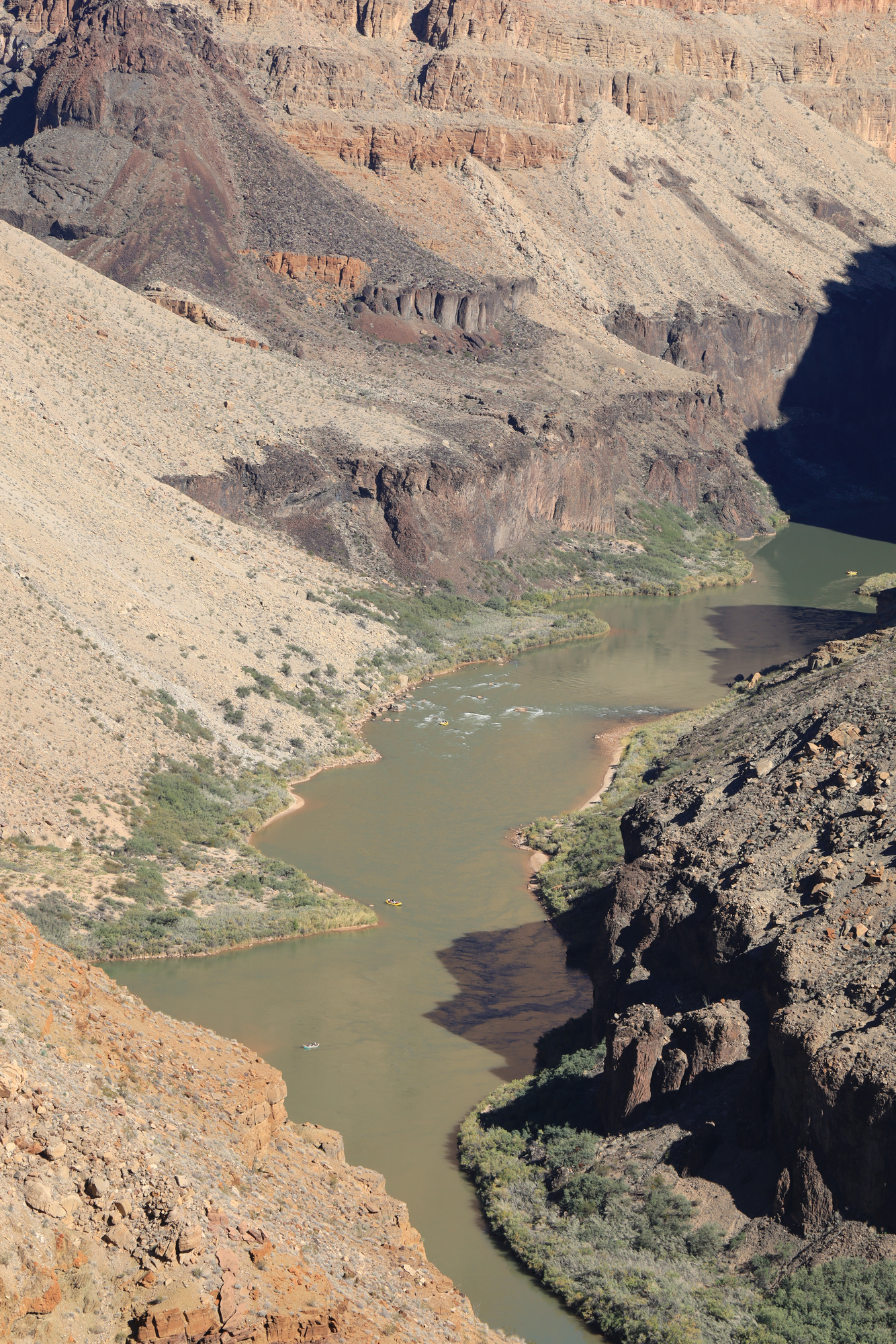
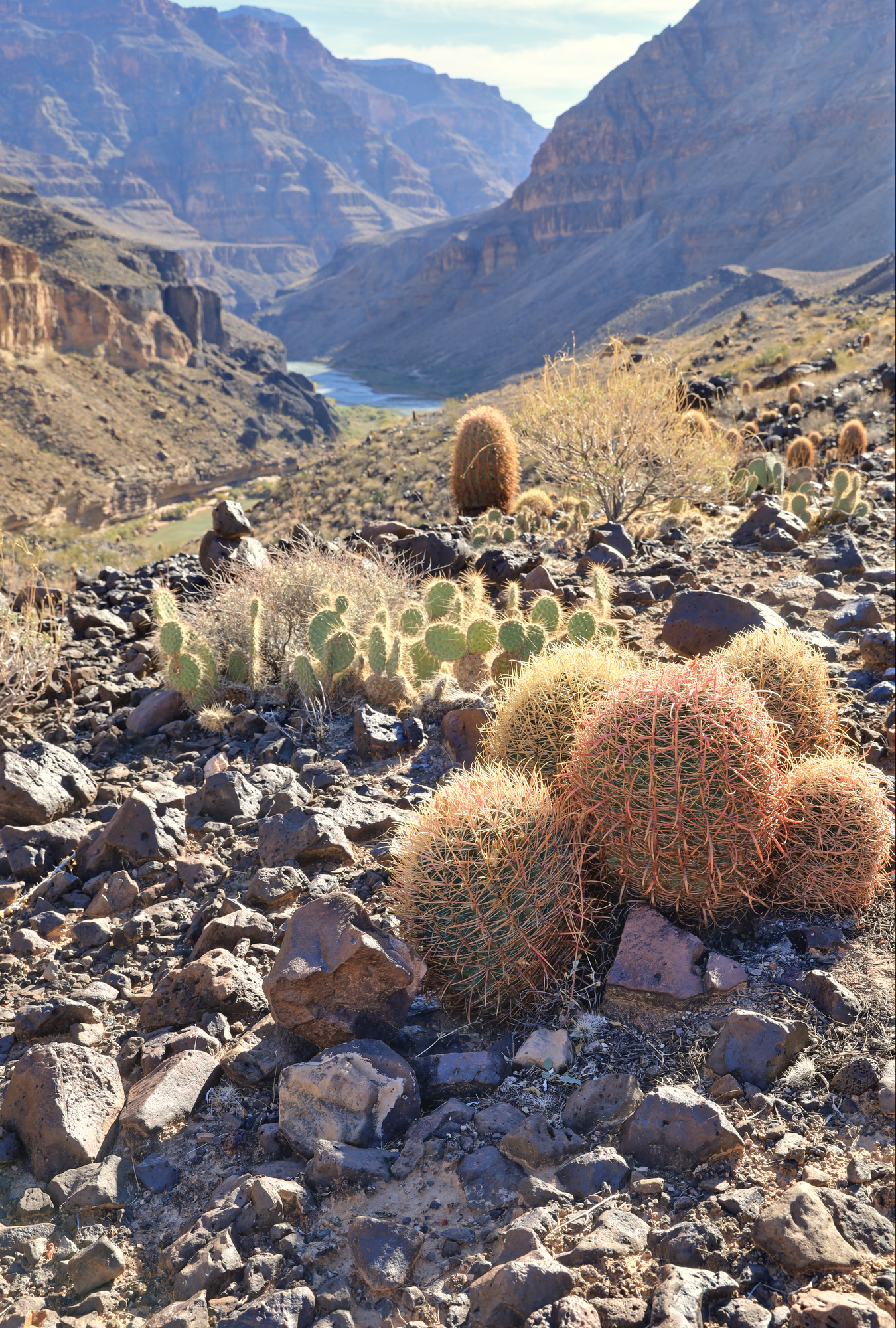
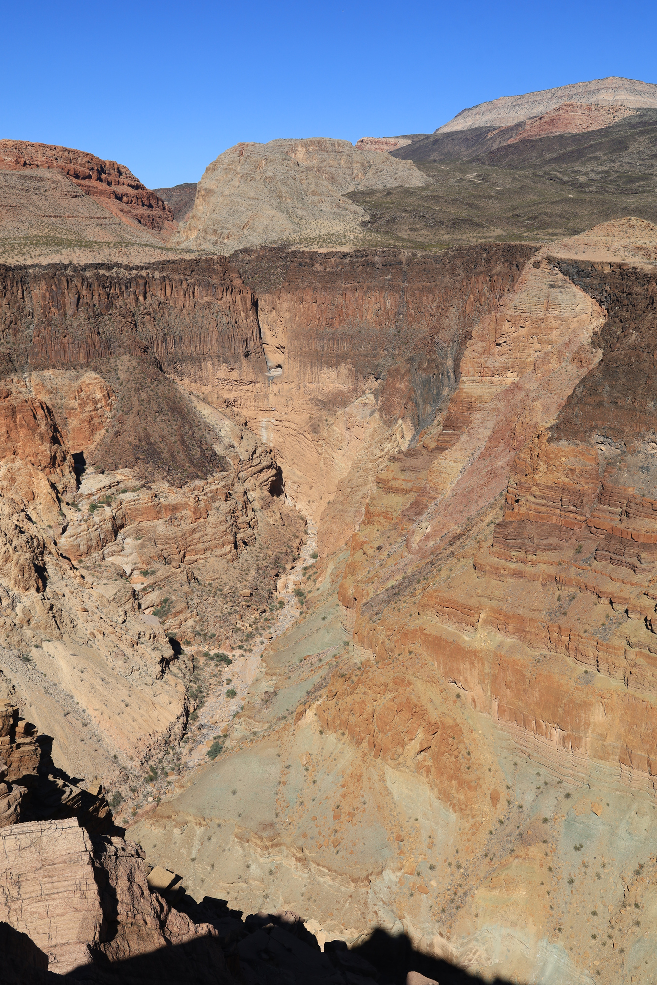
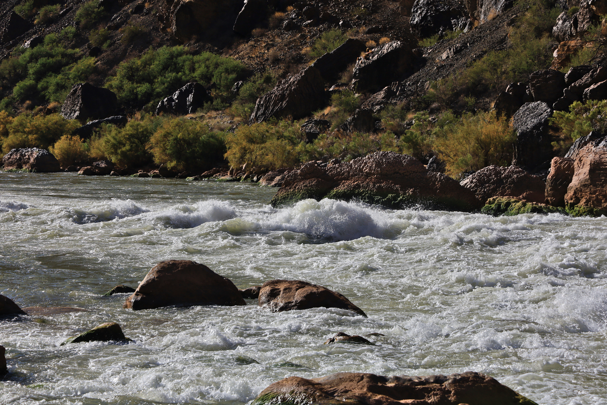
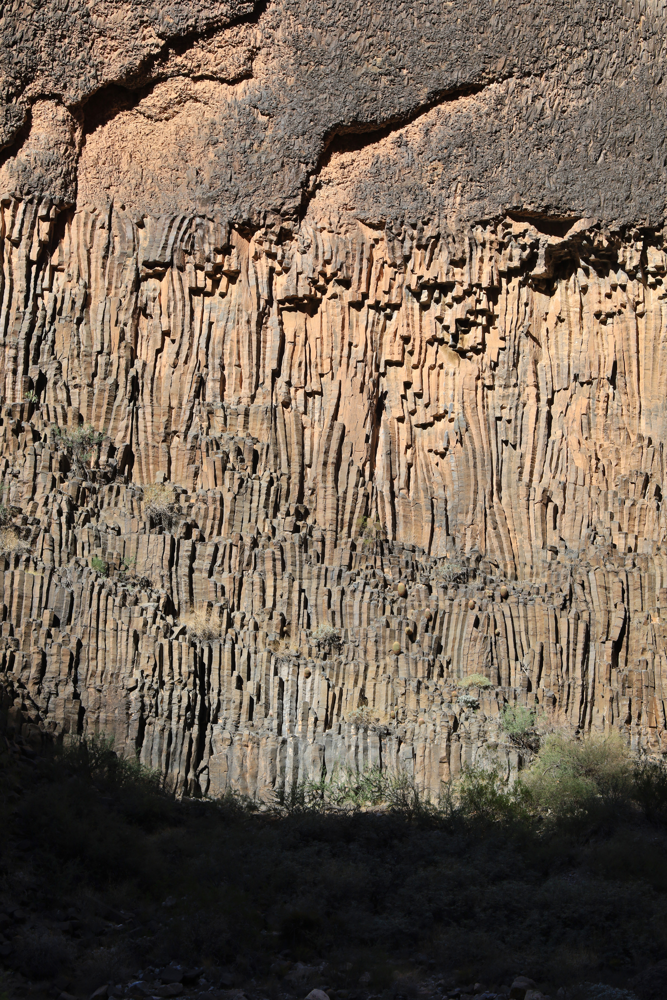
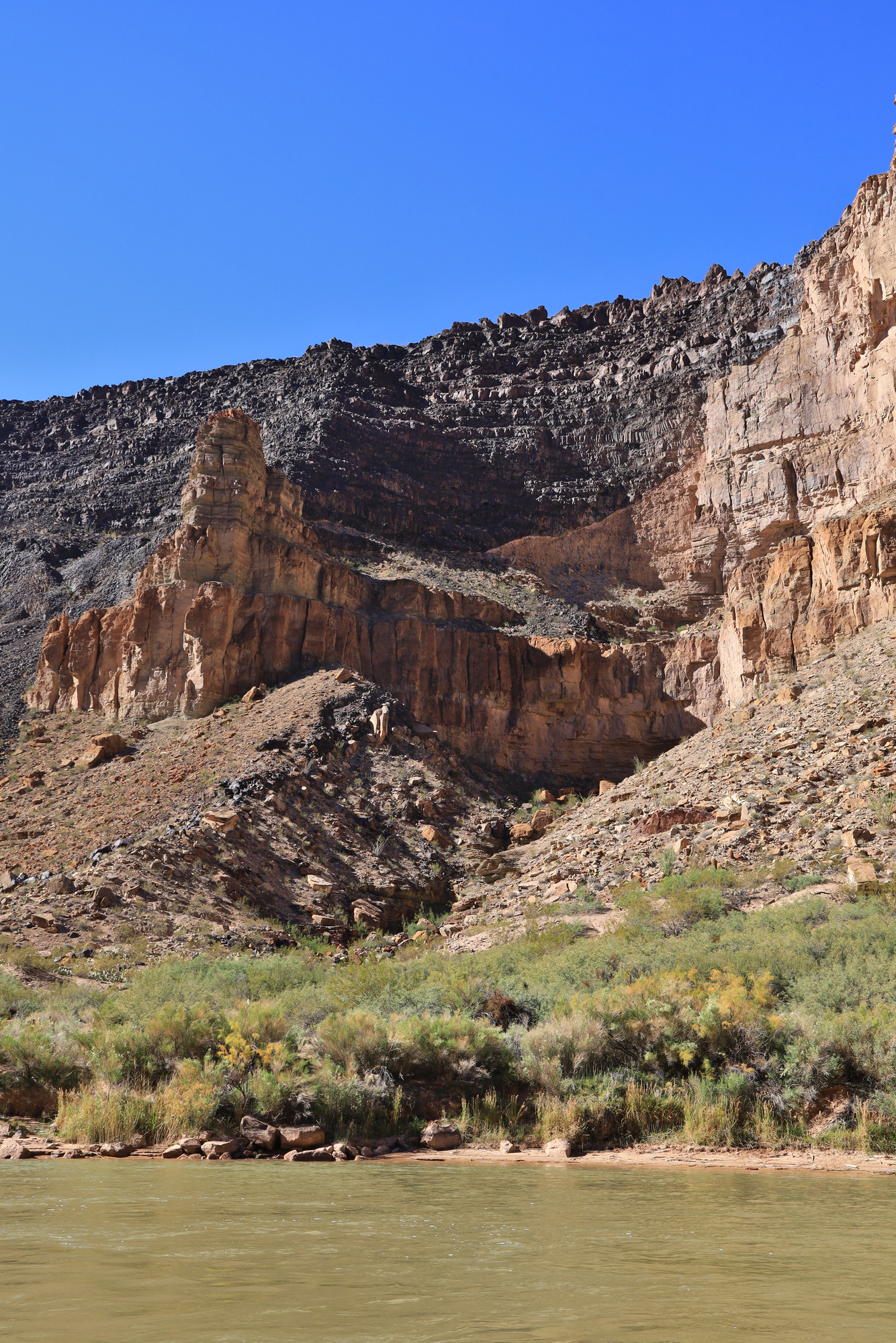
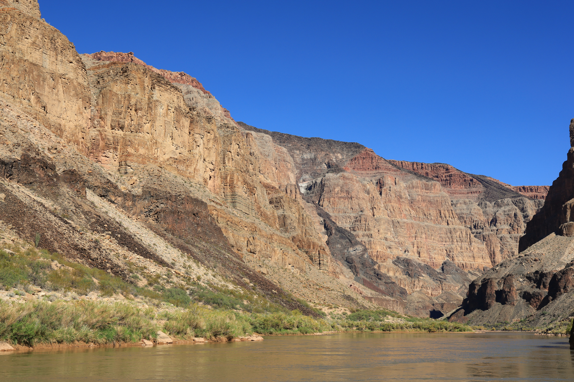
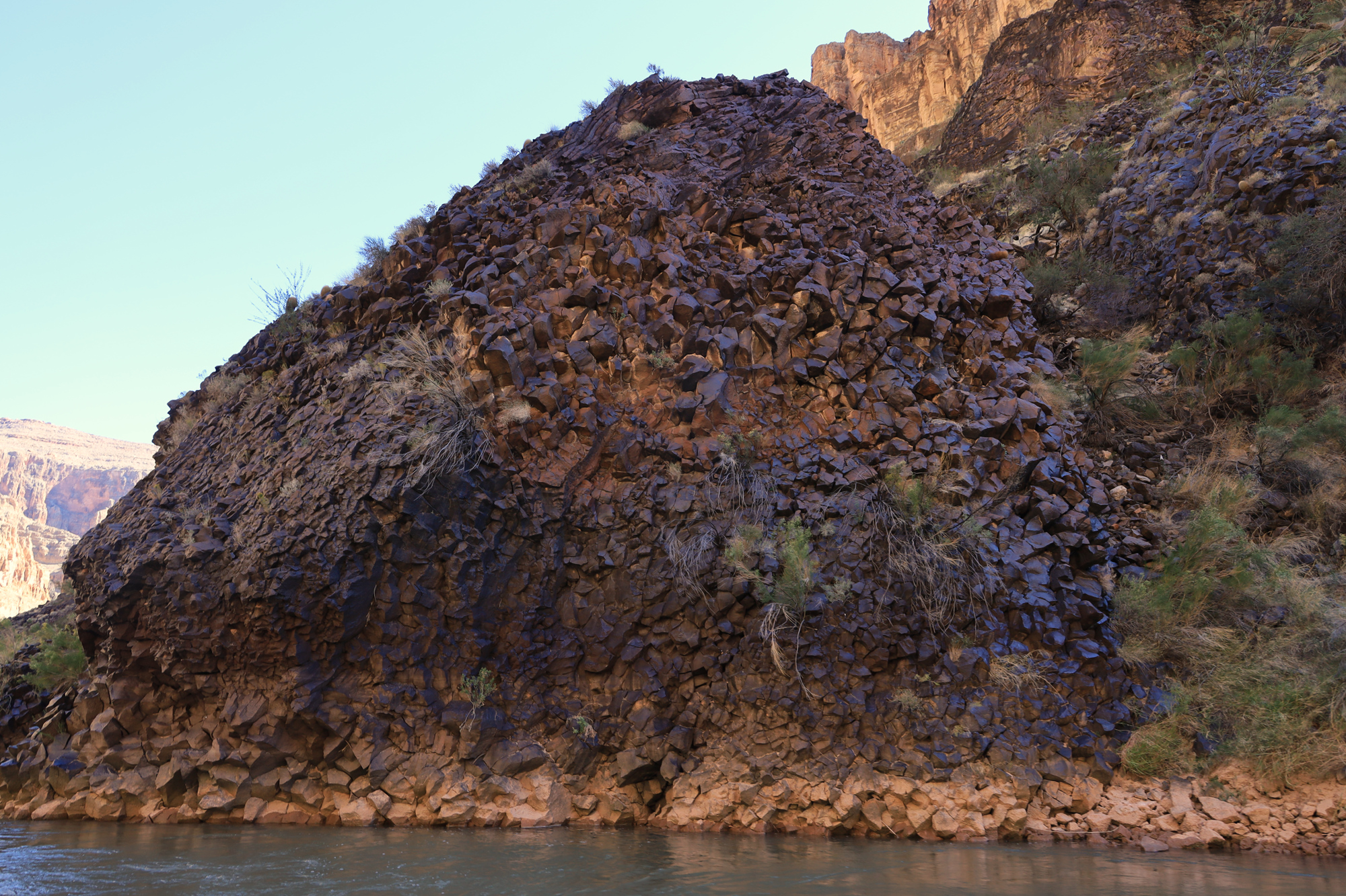
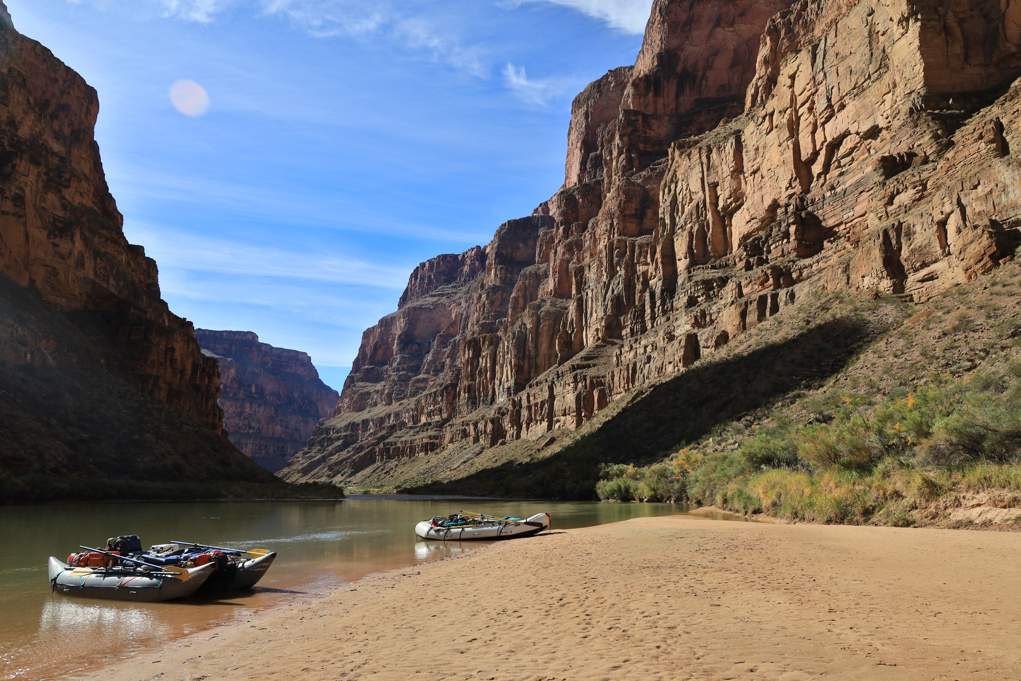
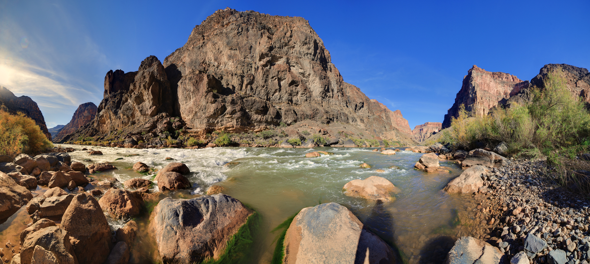
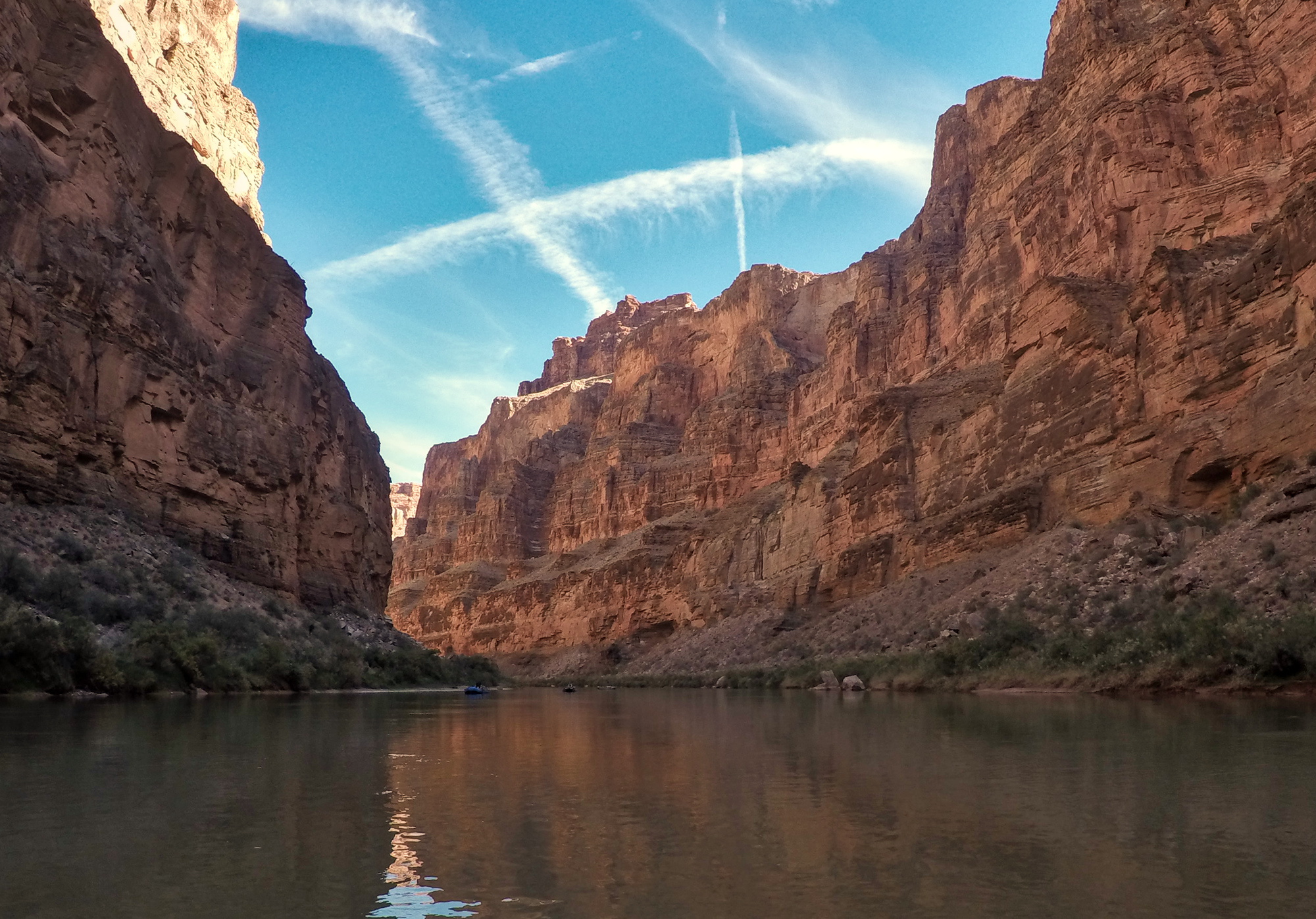
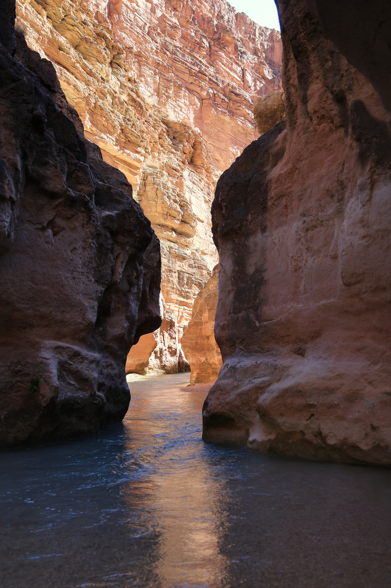
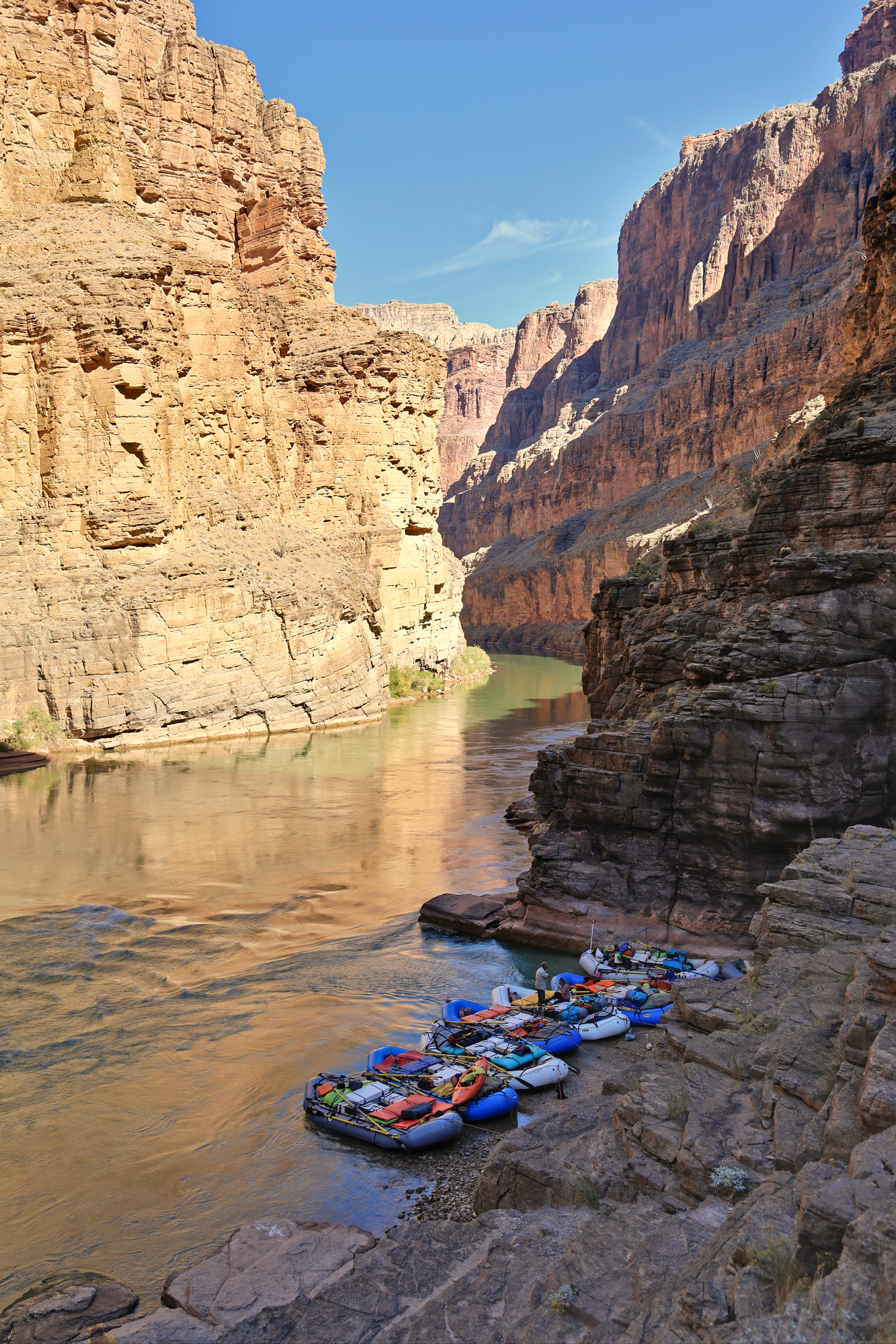
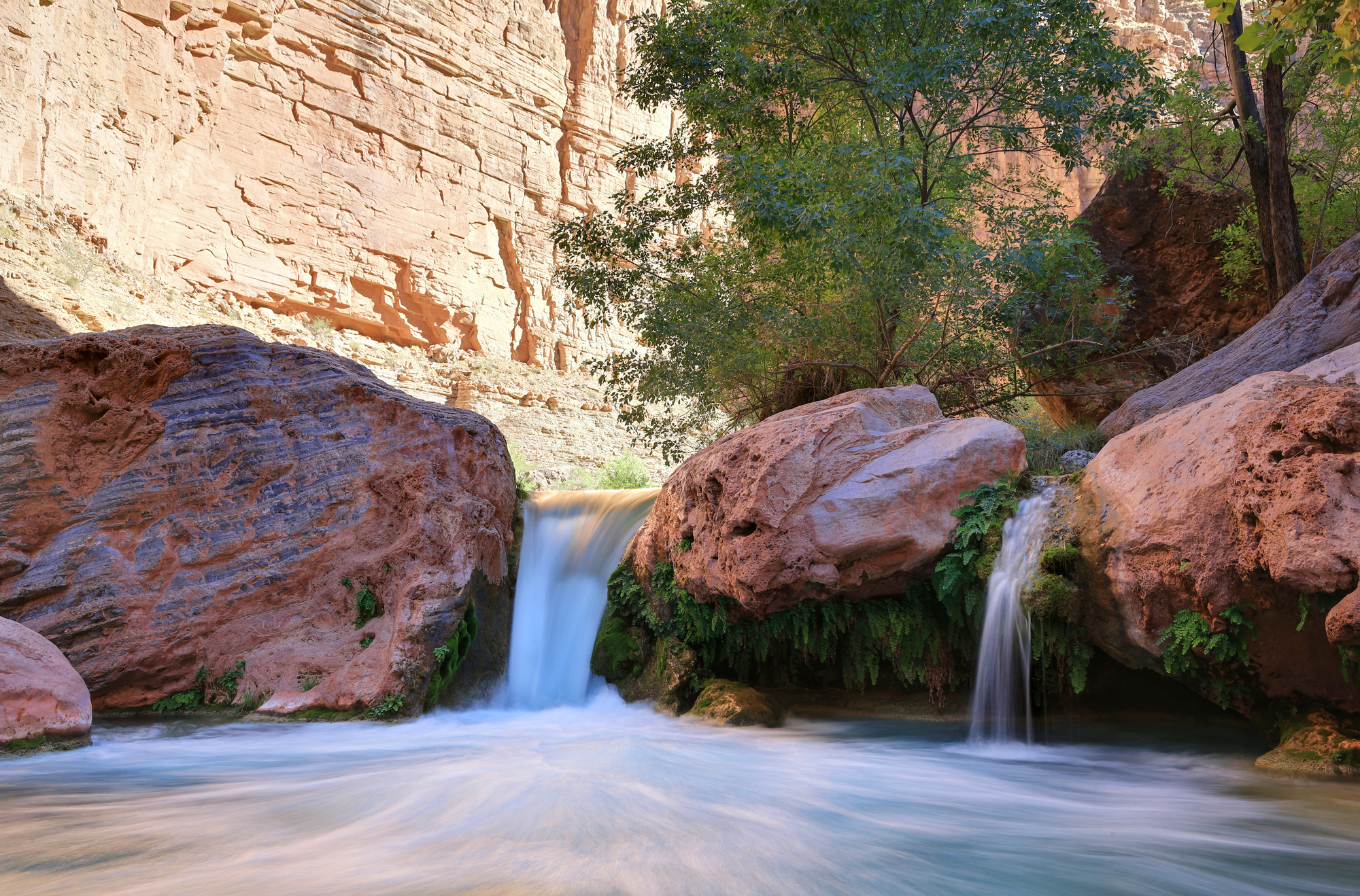
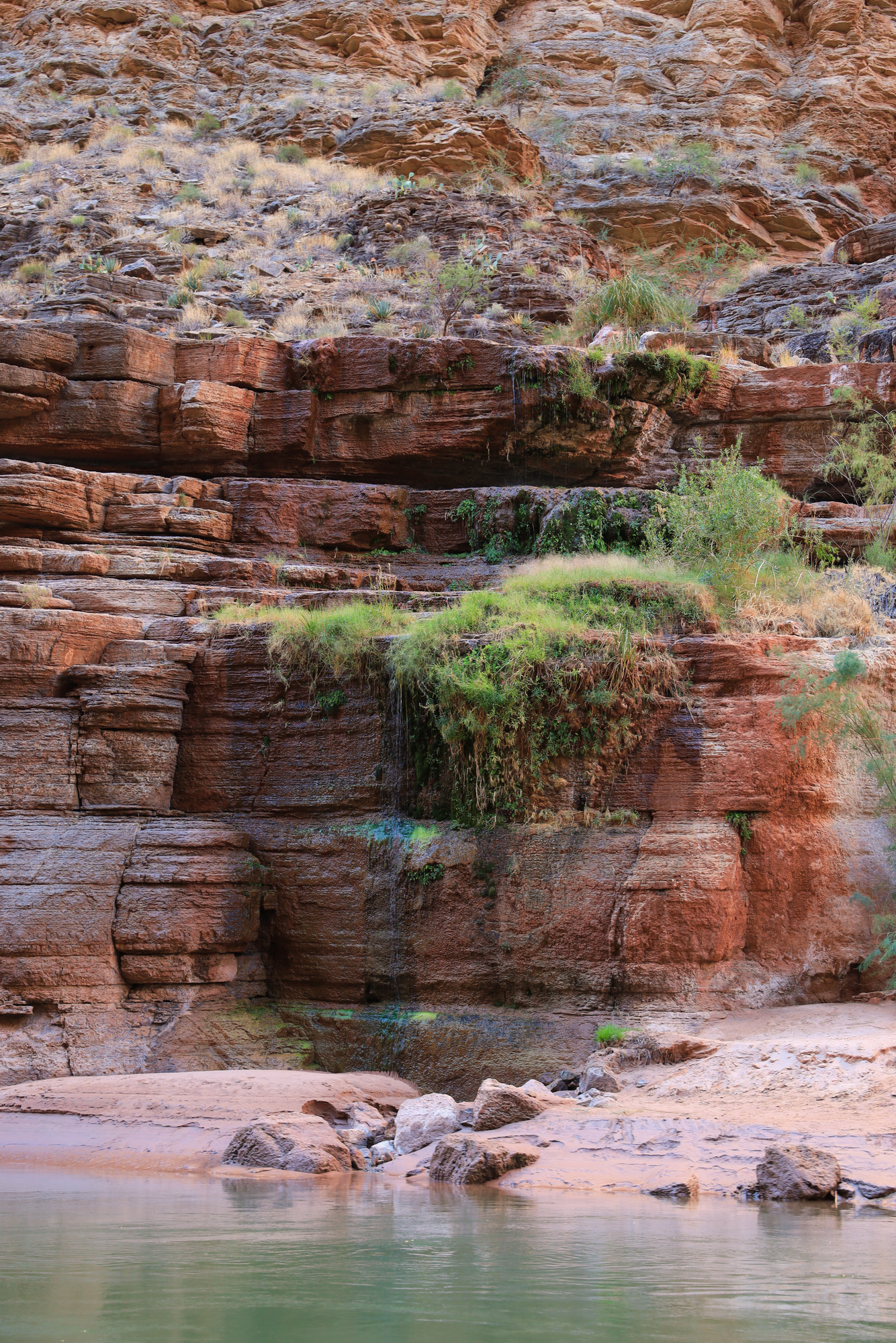
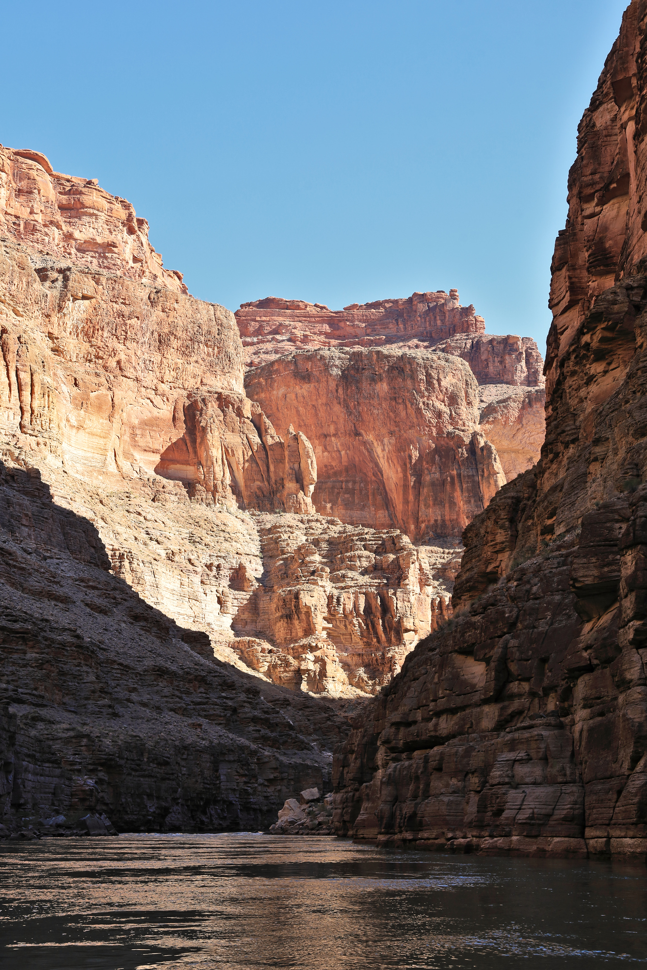
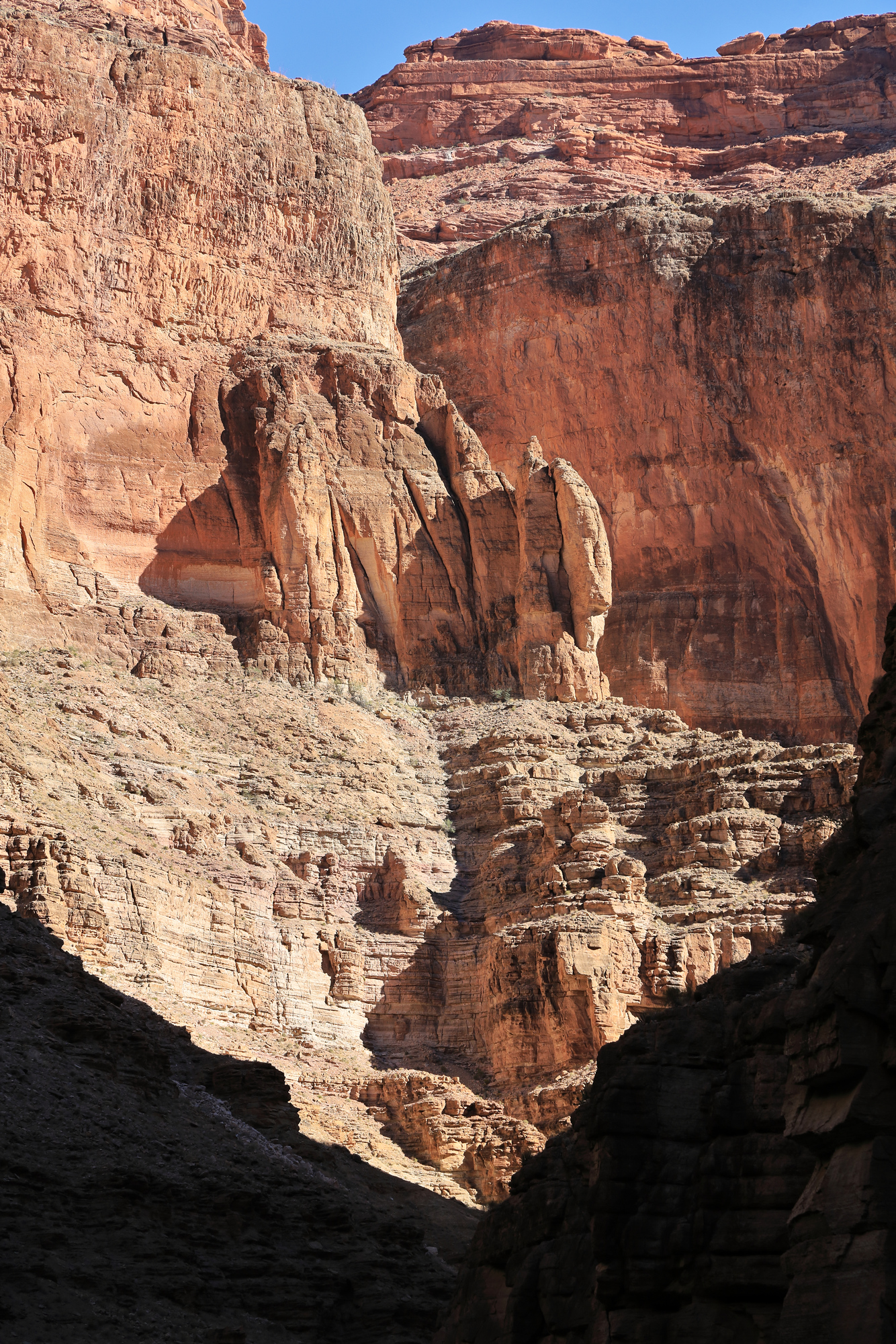
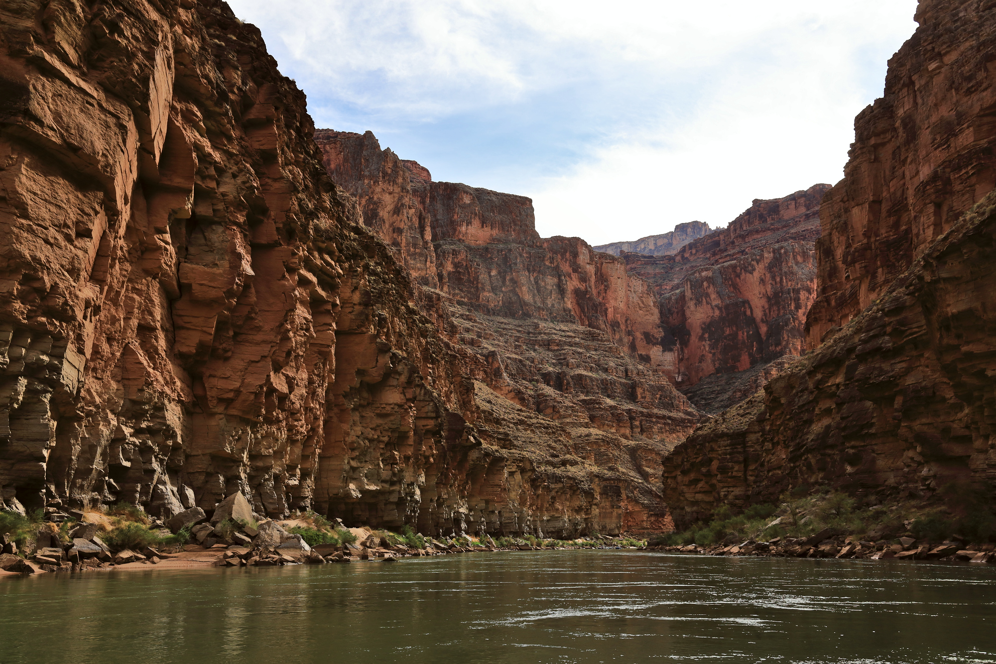
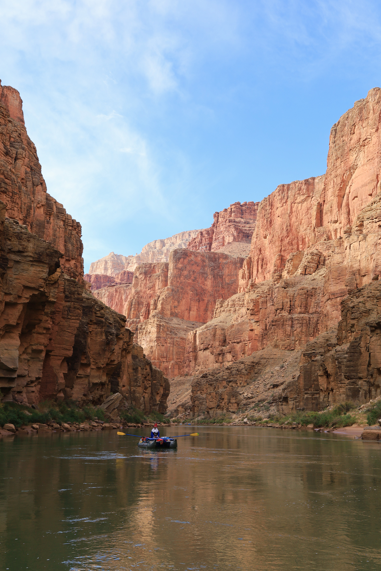
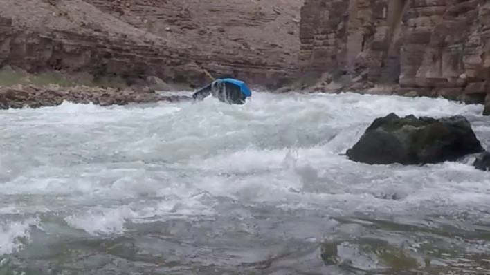
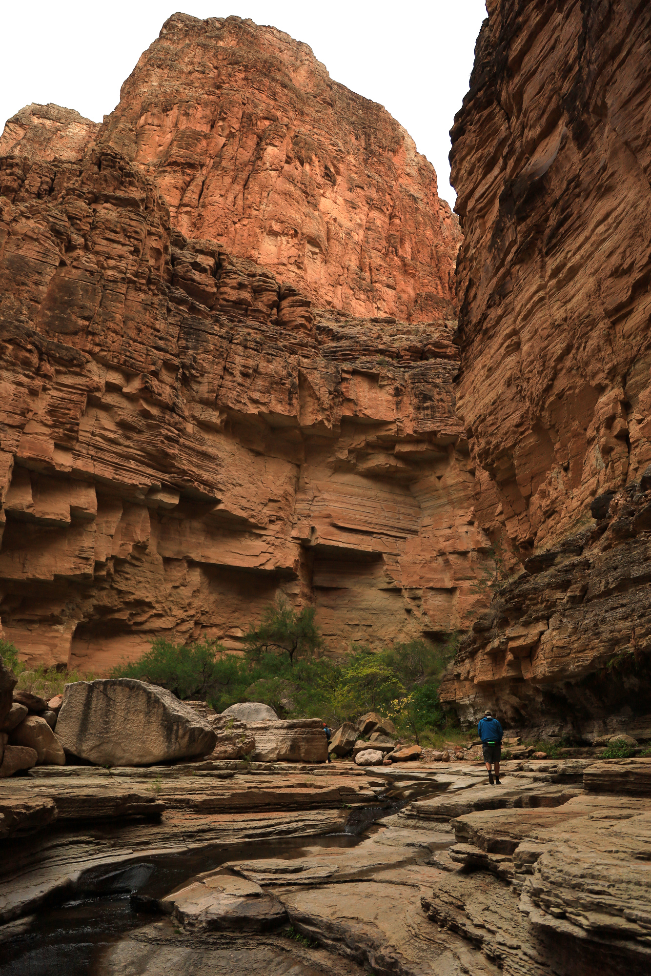
The paddling from Bridge Canyon down included the last few rapids of the trip. None were particularly difficult, but they were fun none the less. Before we knew it we had arrived at Separation Canyon where we stopped for lunch. We spent some time relaxing in a very large bowl eroded out of the rock at the mouth of the canyon, took a few photos and then continued downstream. From here on out the water was consistently flat and we constantly had a view of the “bathtub ring” from when Lake Mead was at full pool in the 80’s.

Some small flowers growing in the sand at the mouth of Separation Canyon
The view downstream from just below Separation Canyon
These bighorn sheep were running around of the hillside across from us as we floated away from our lunch spot

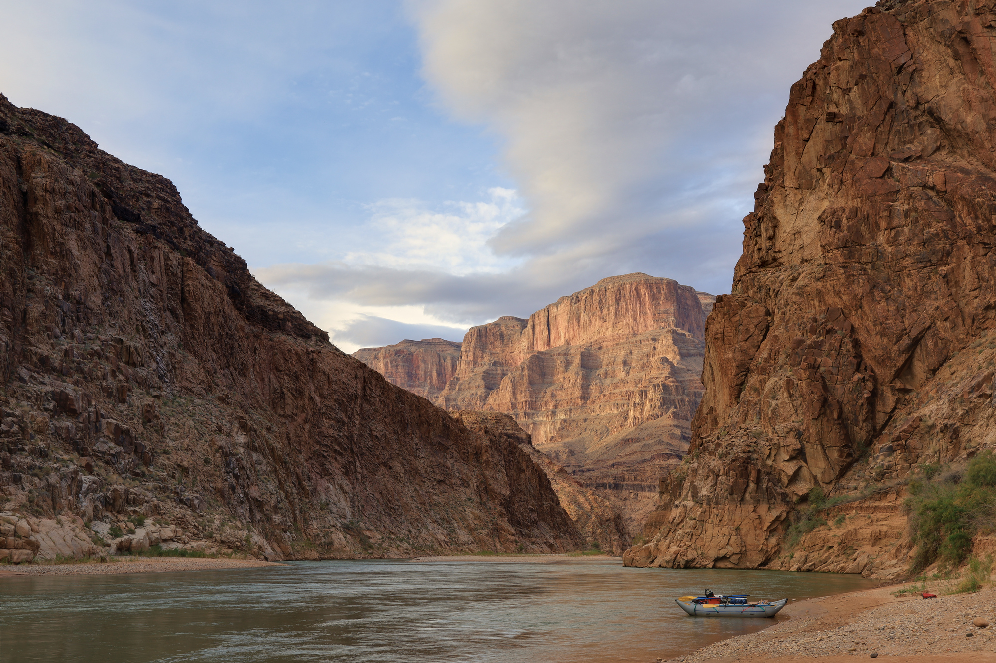
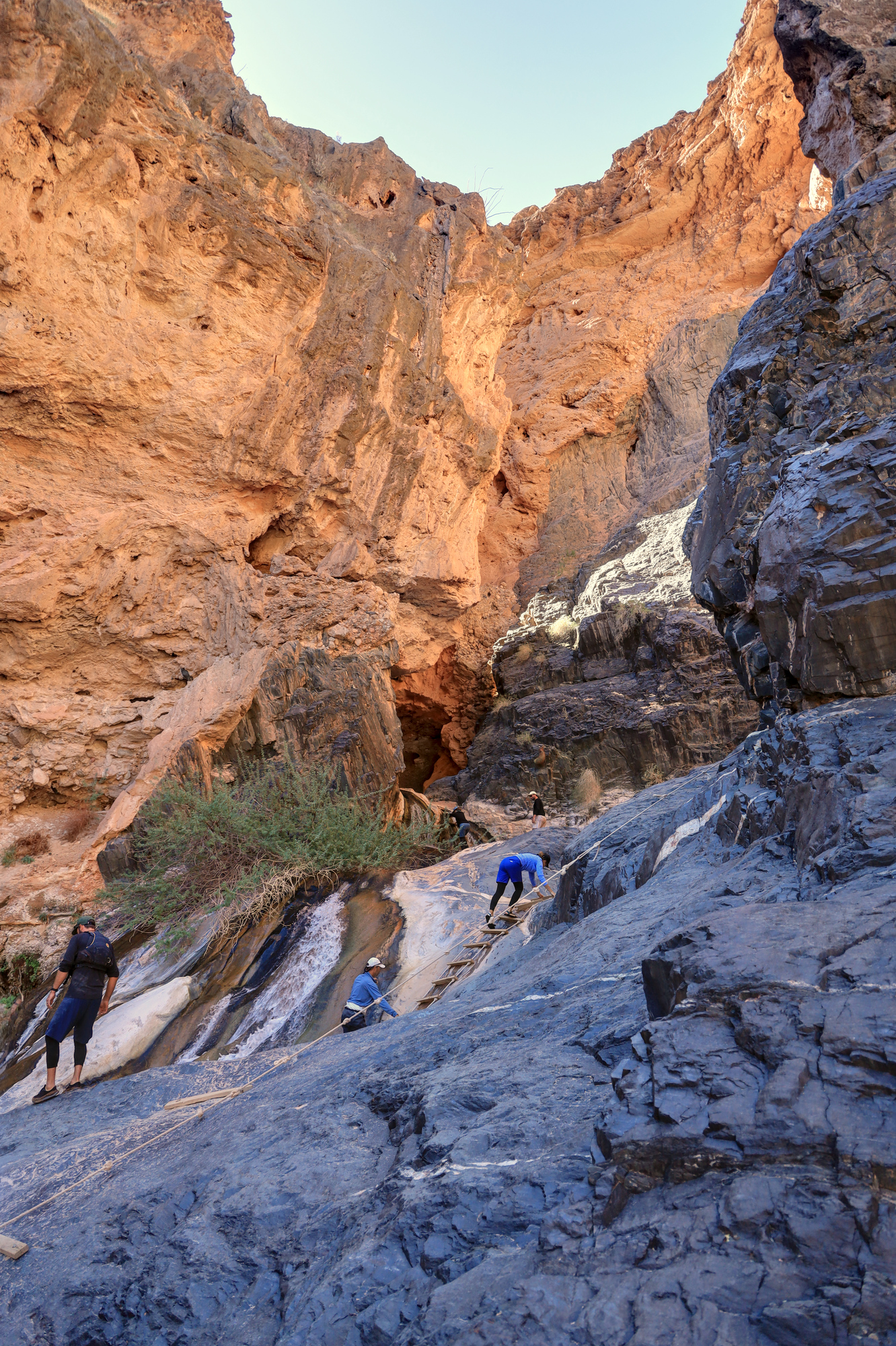
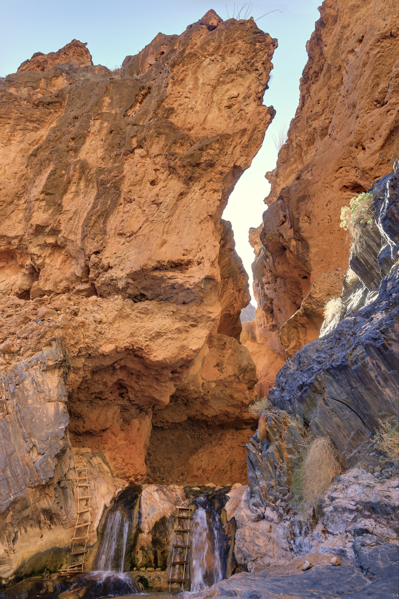
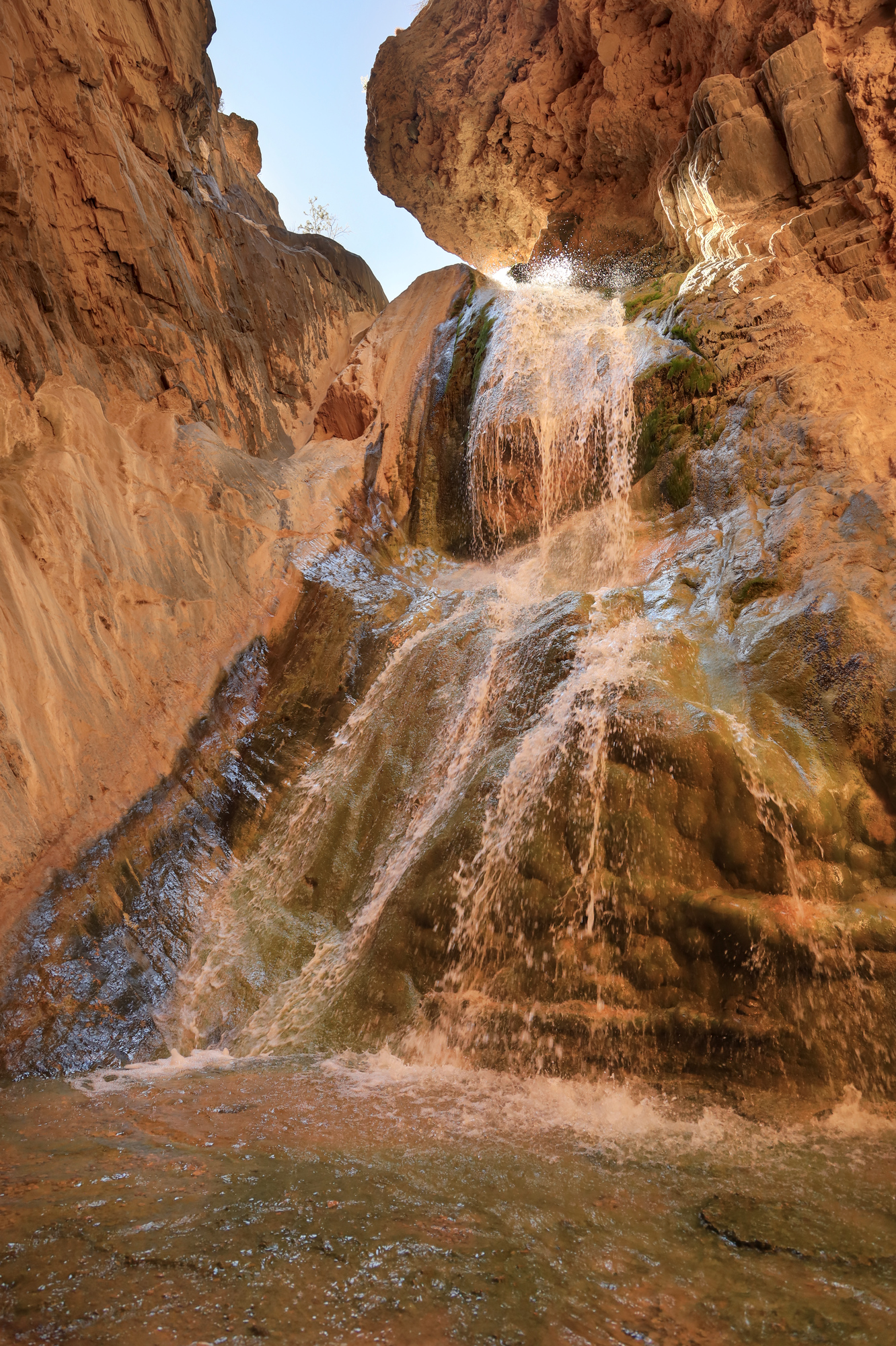
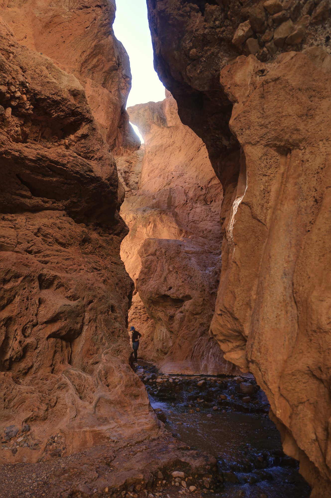
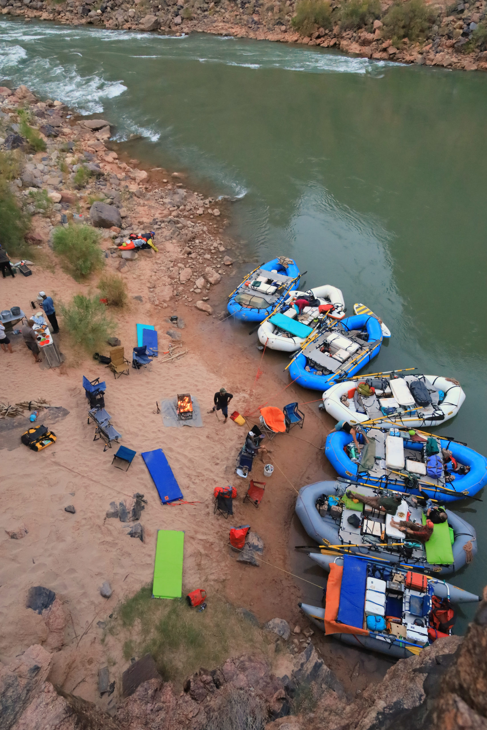
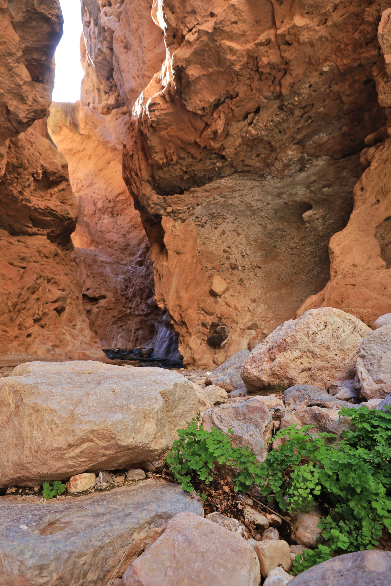
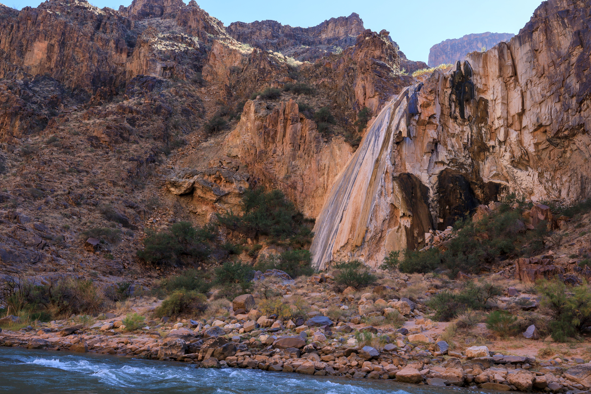
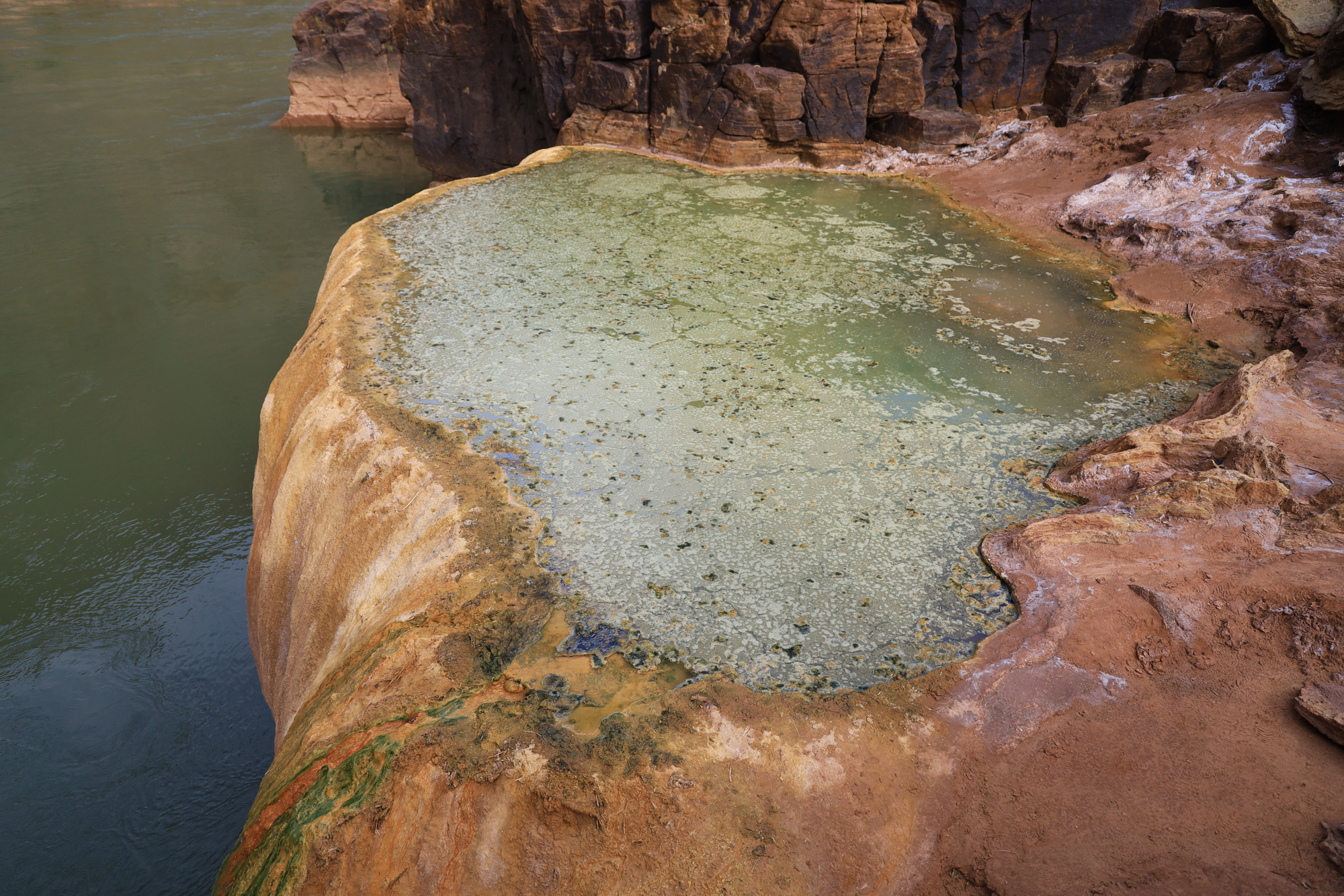
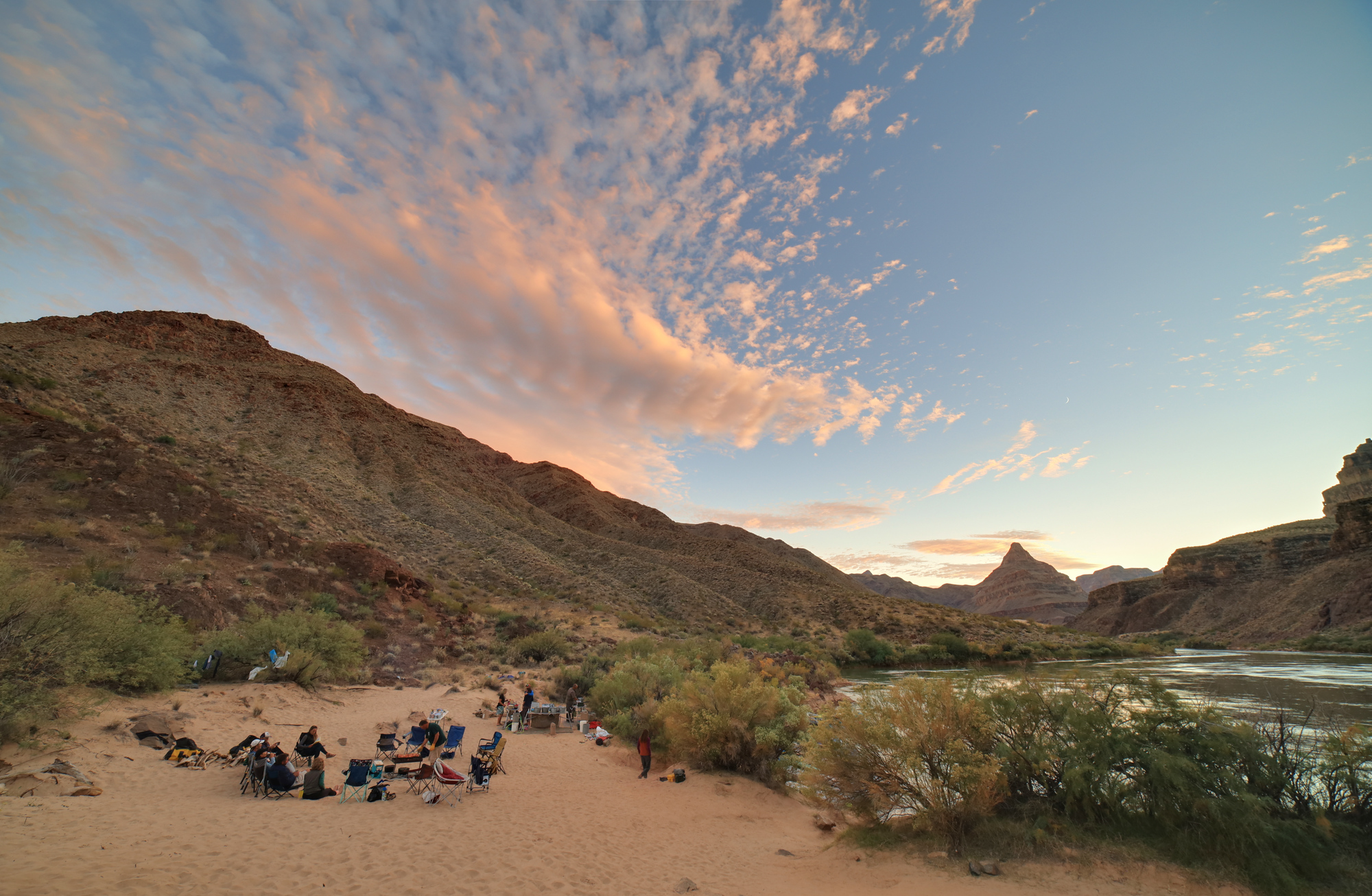
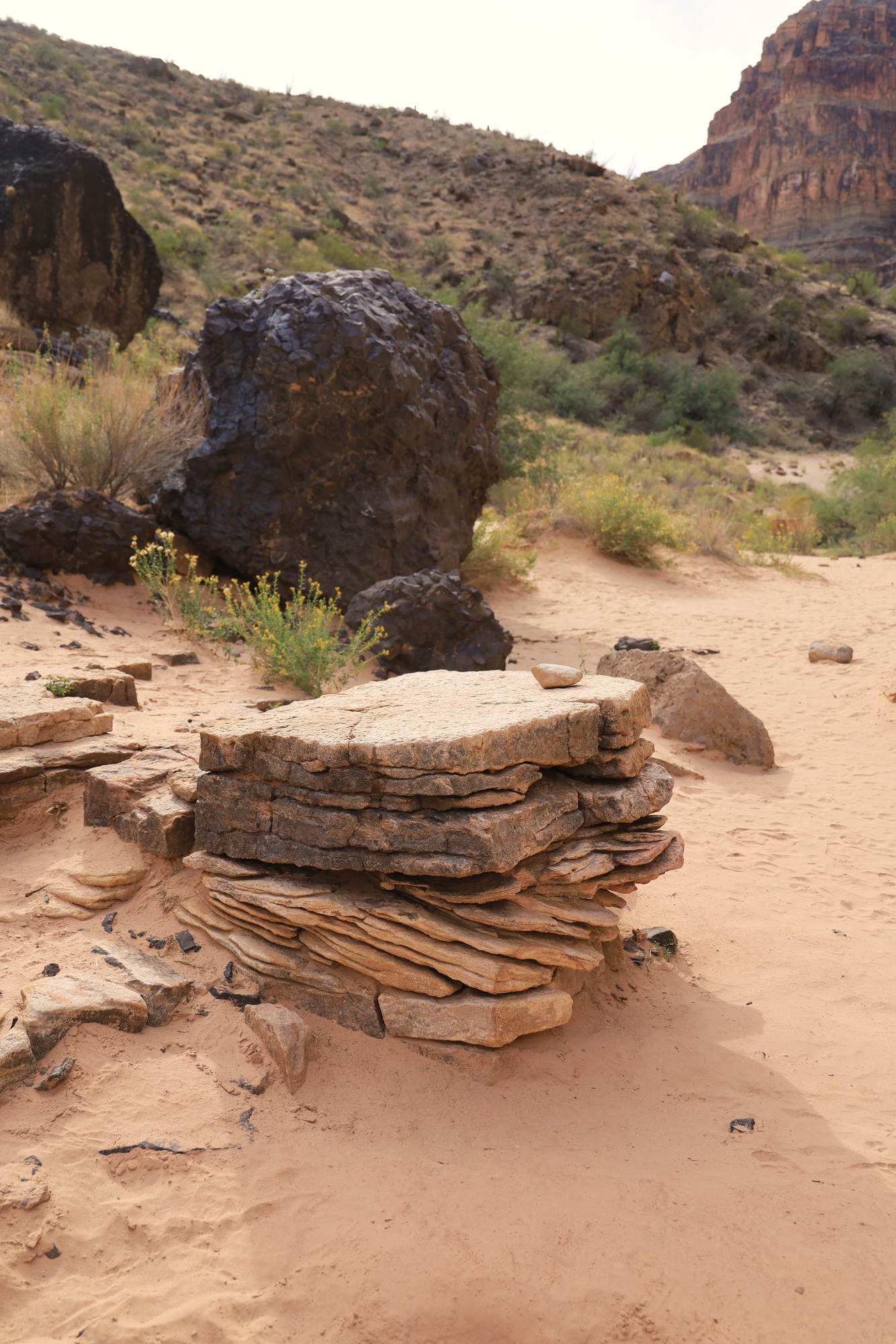
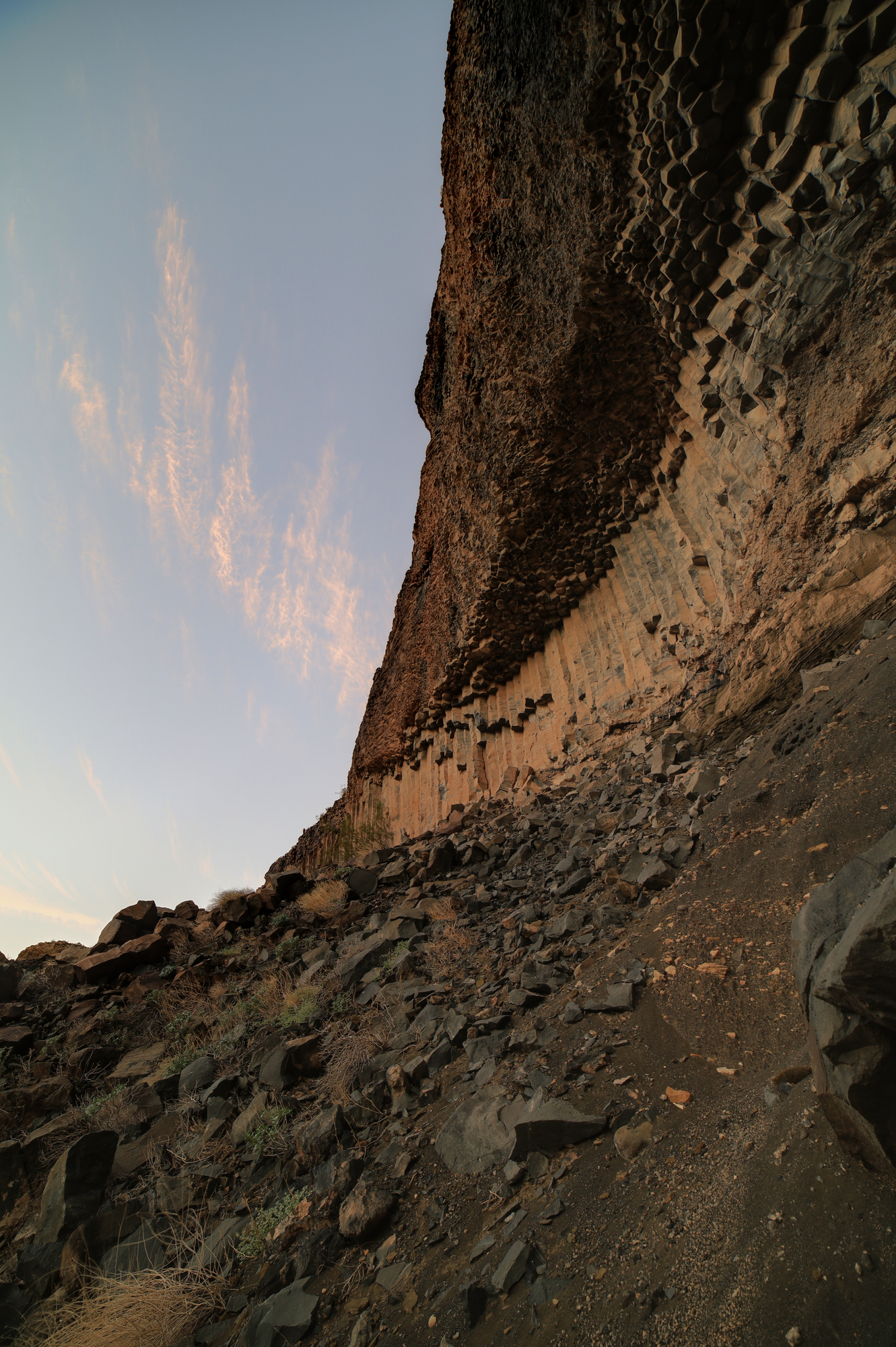
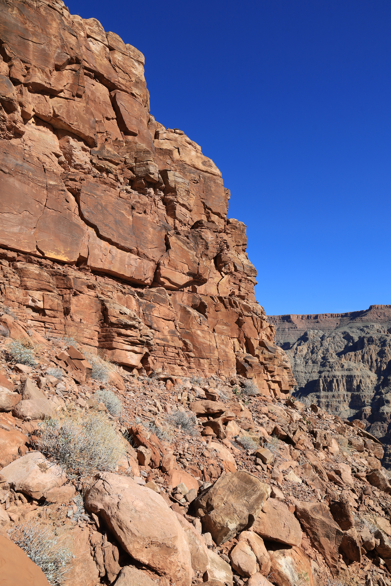
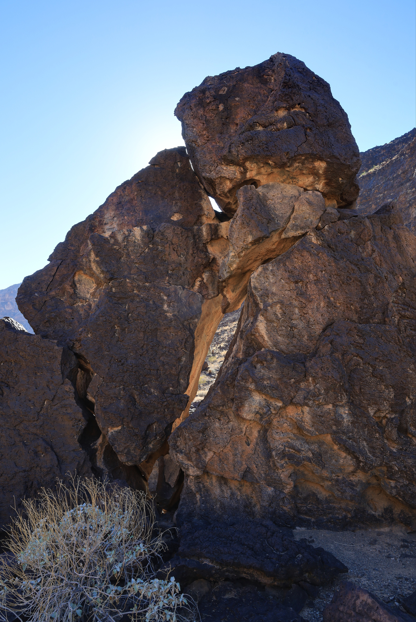
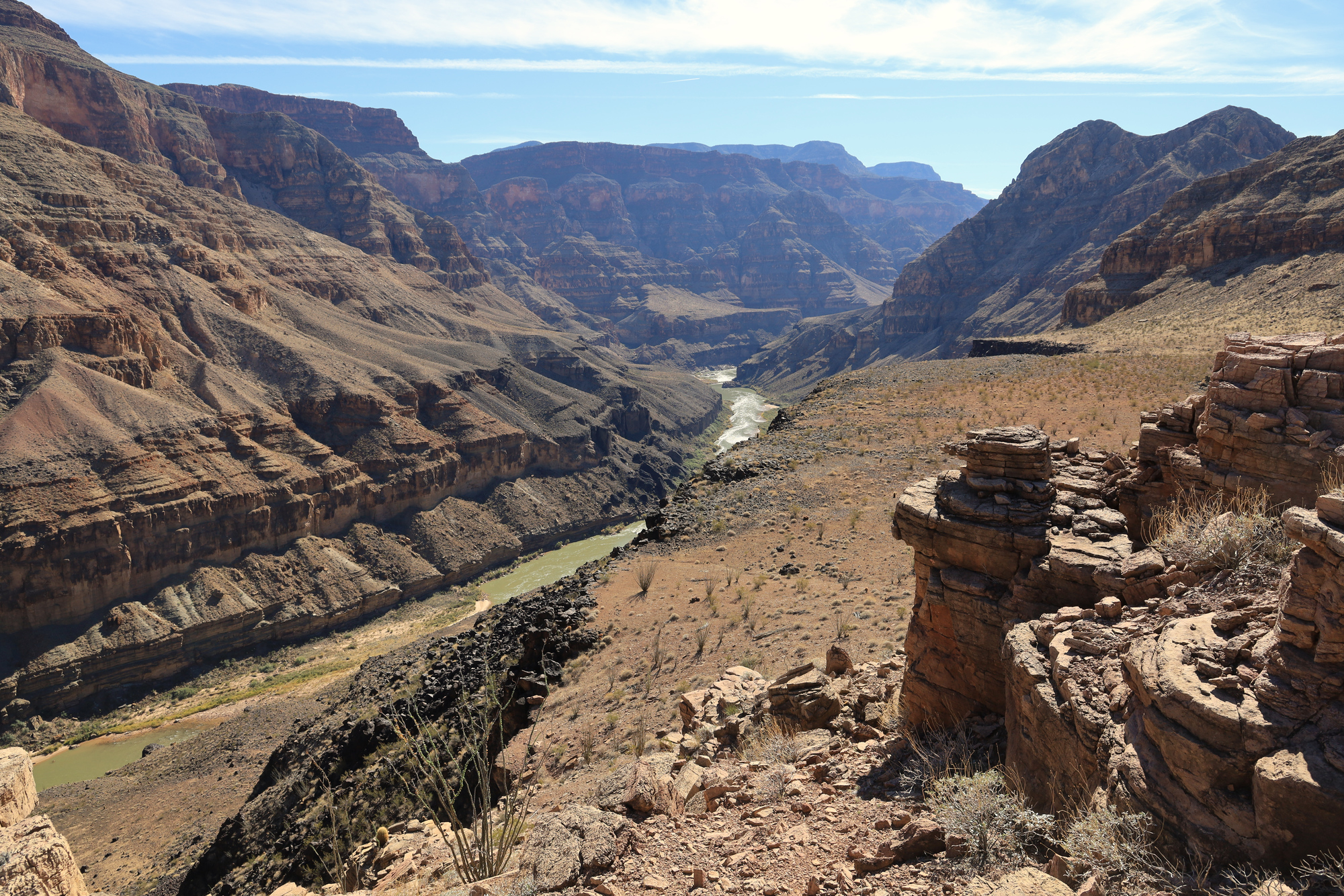
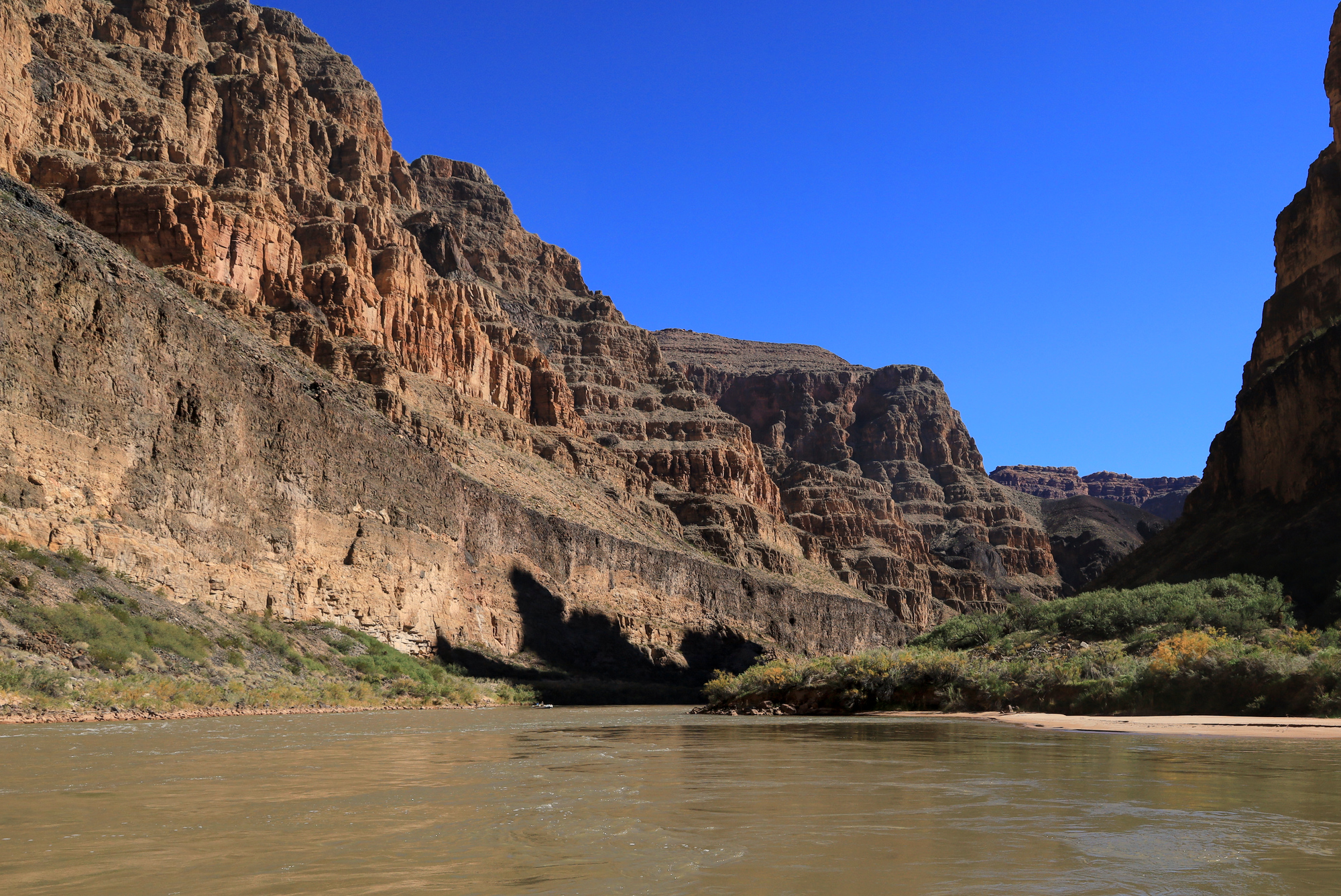
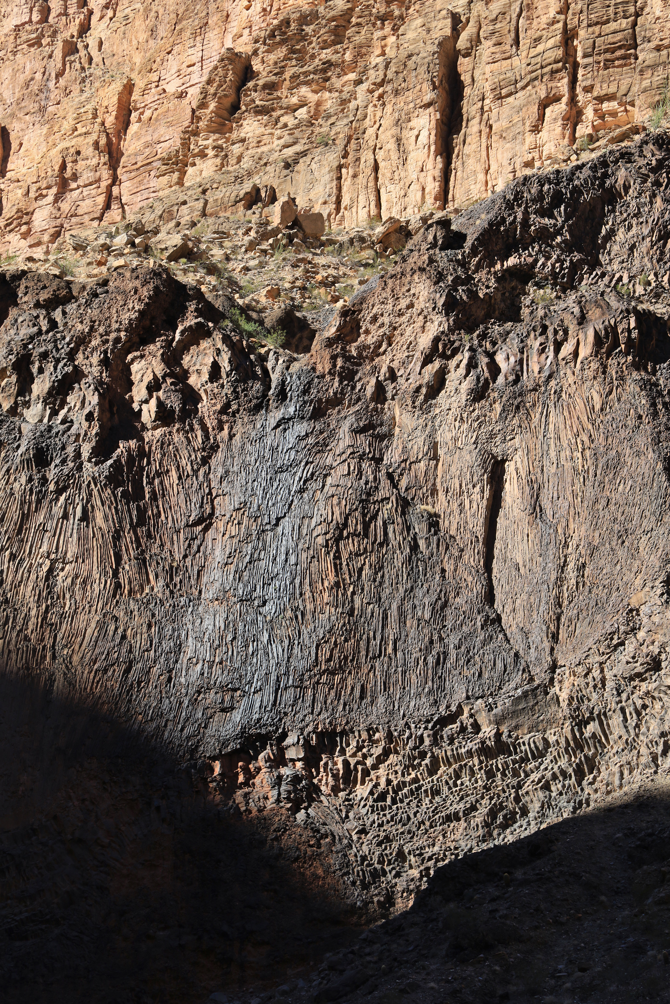
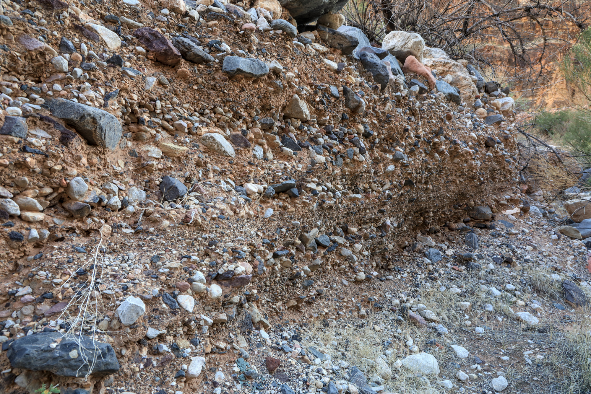
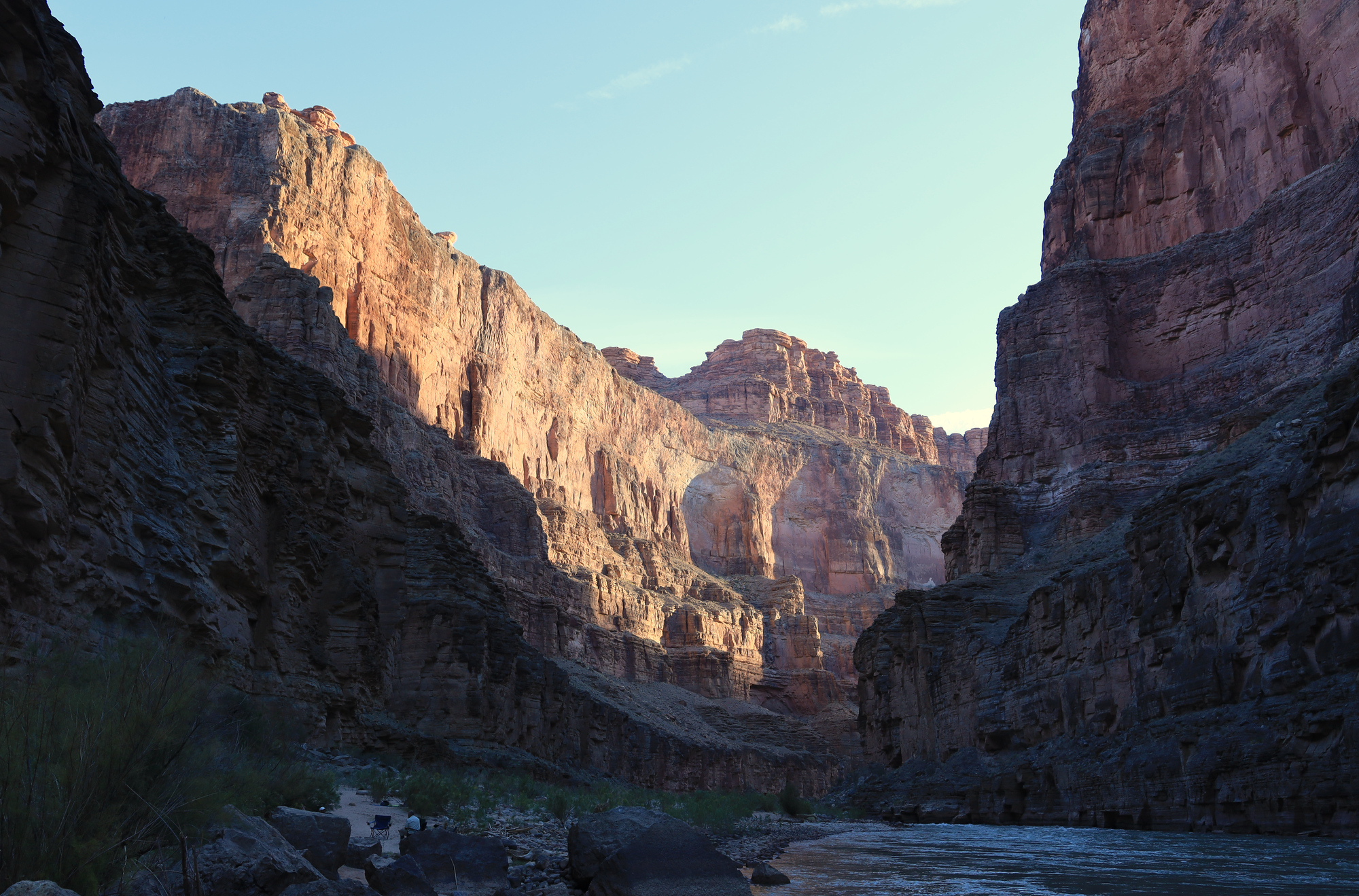
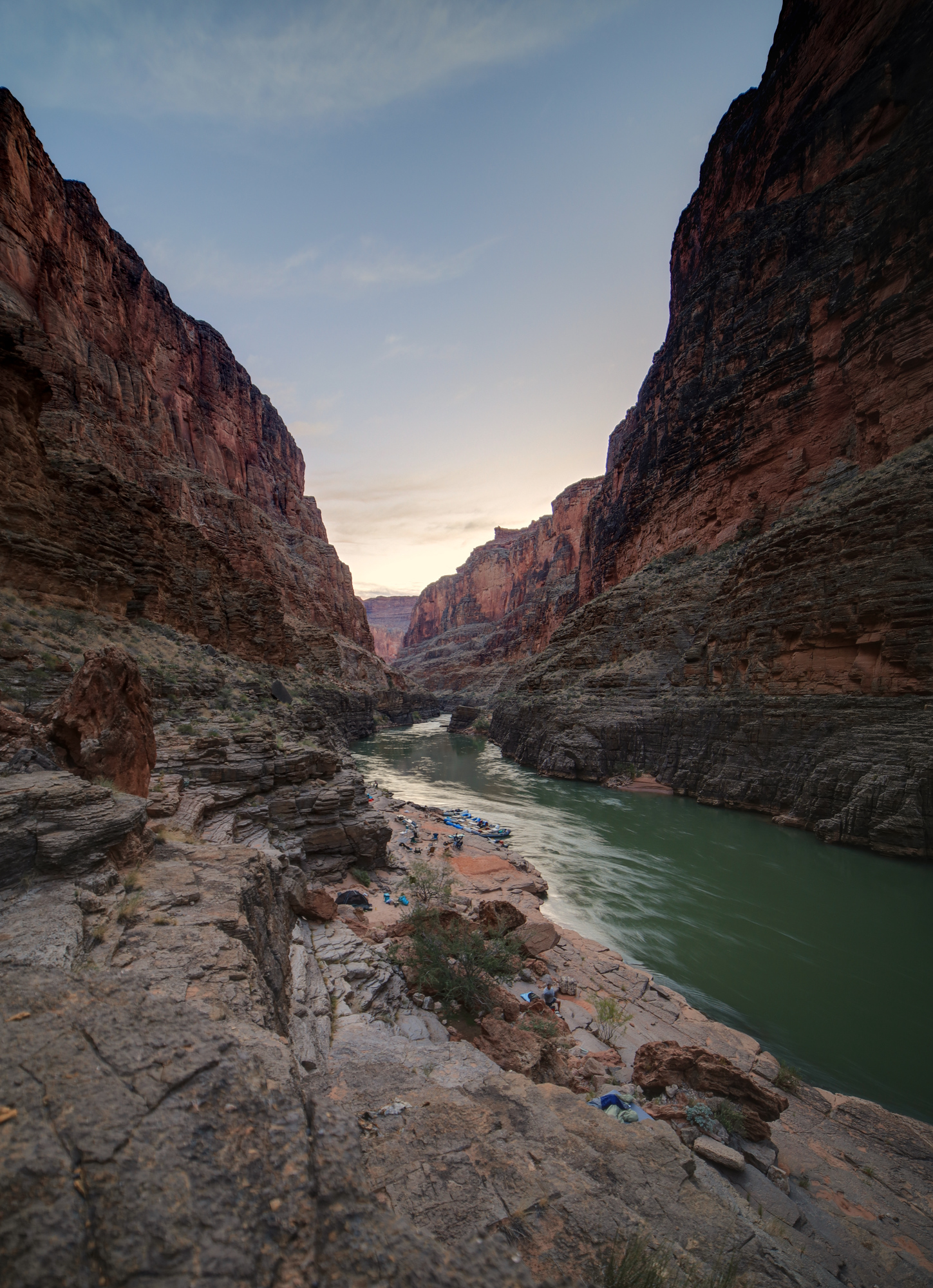
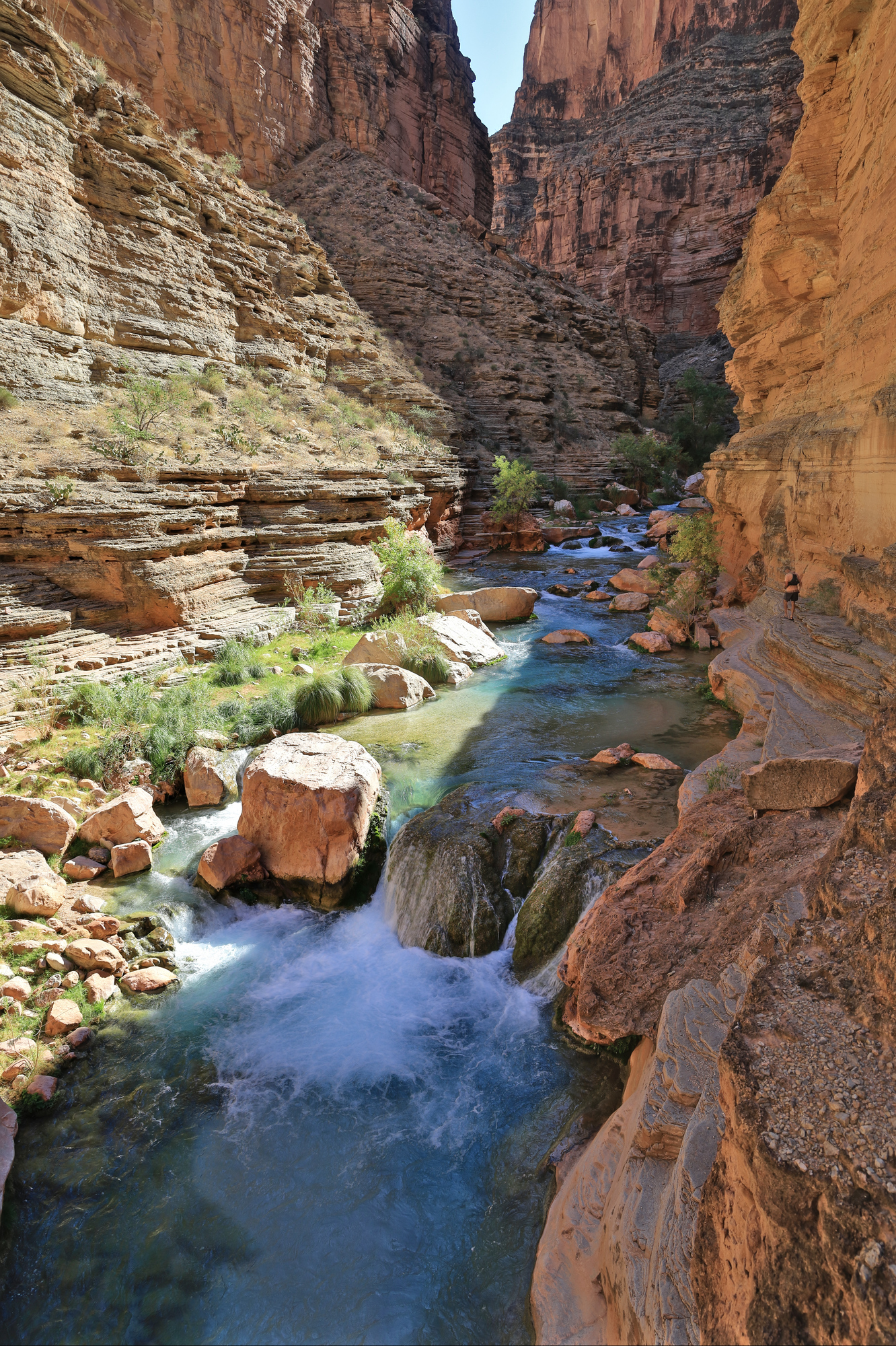
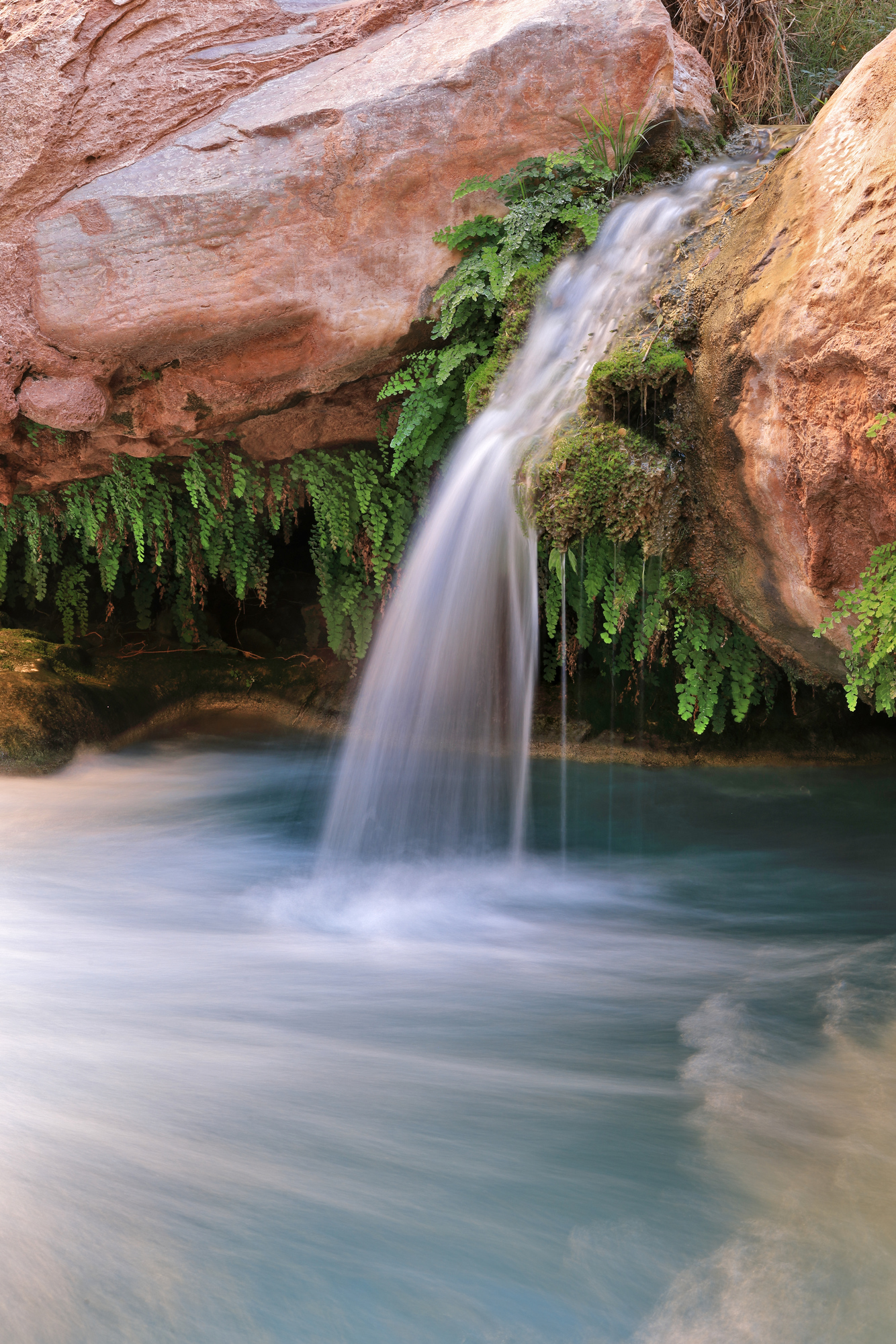
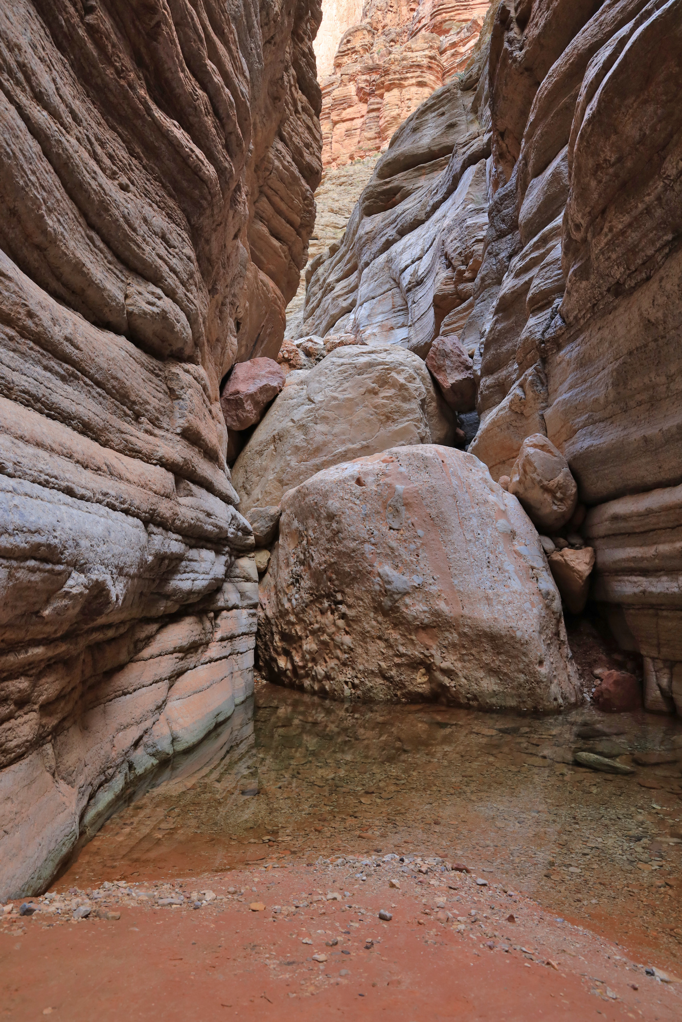
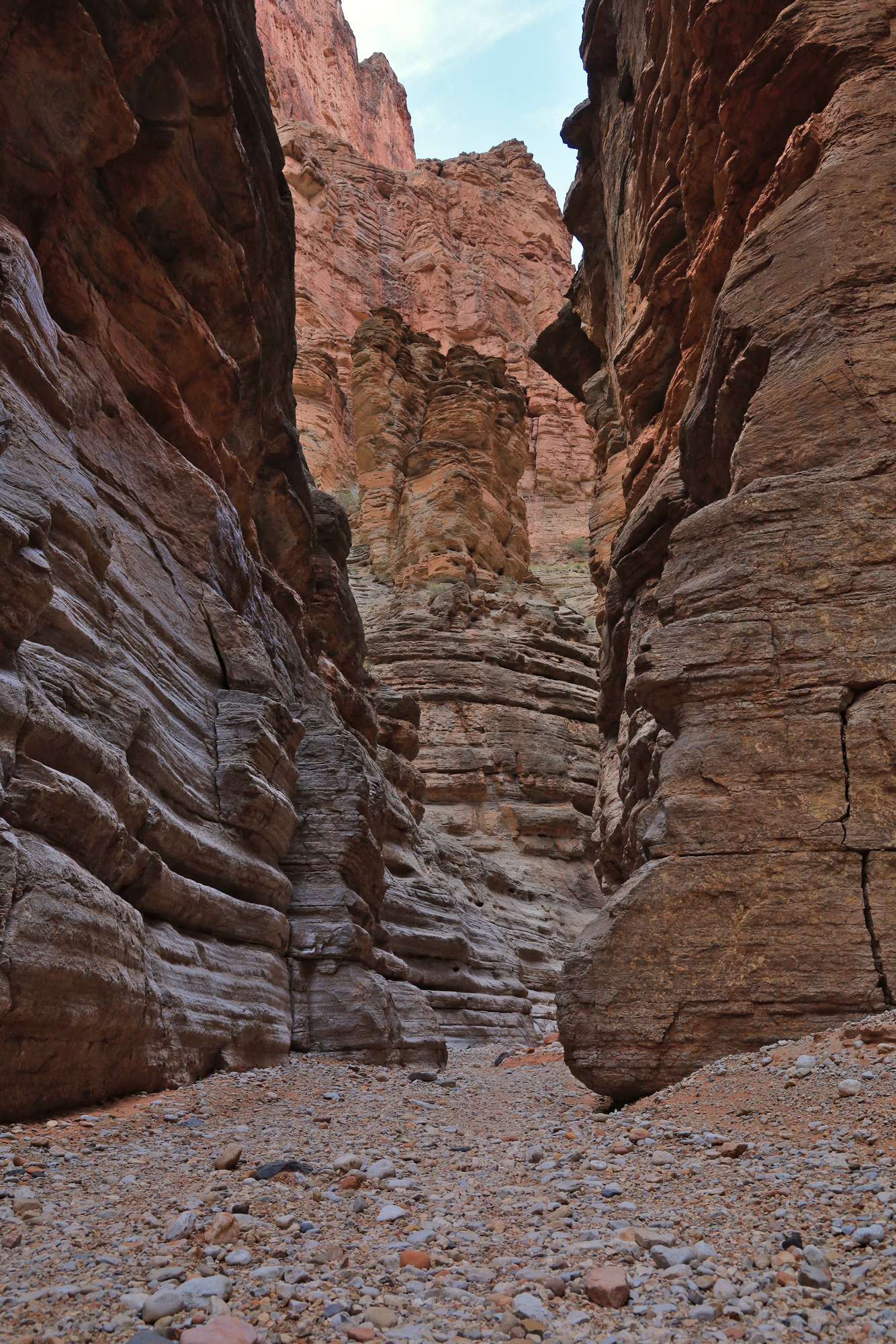
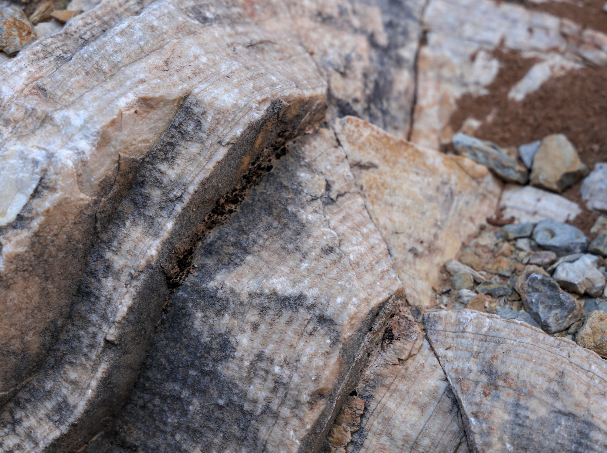
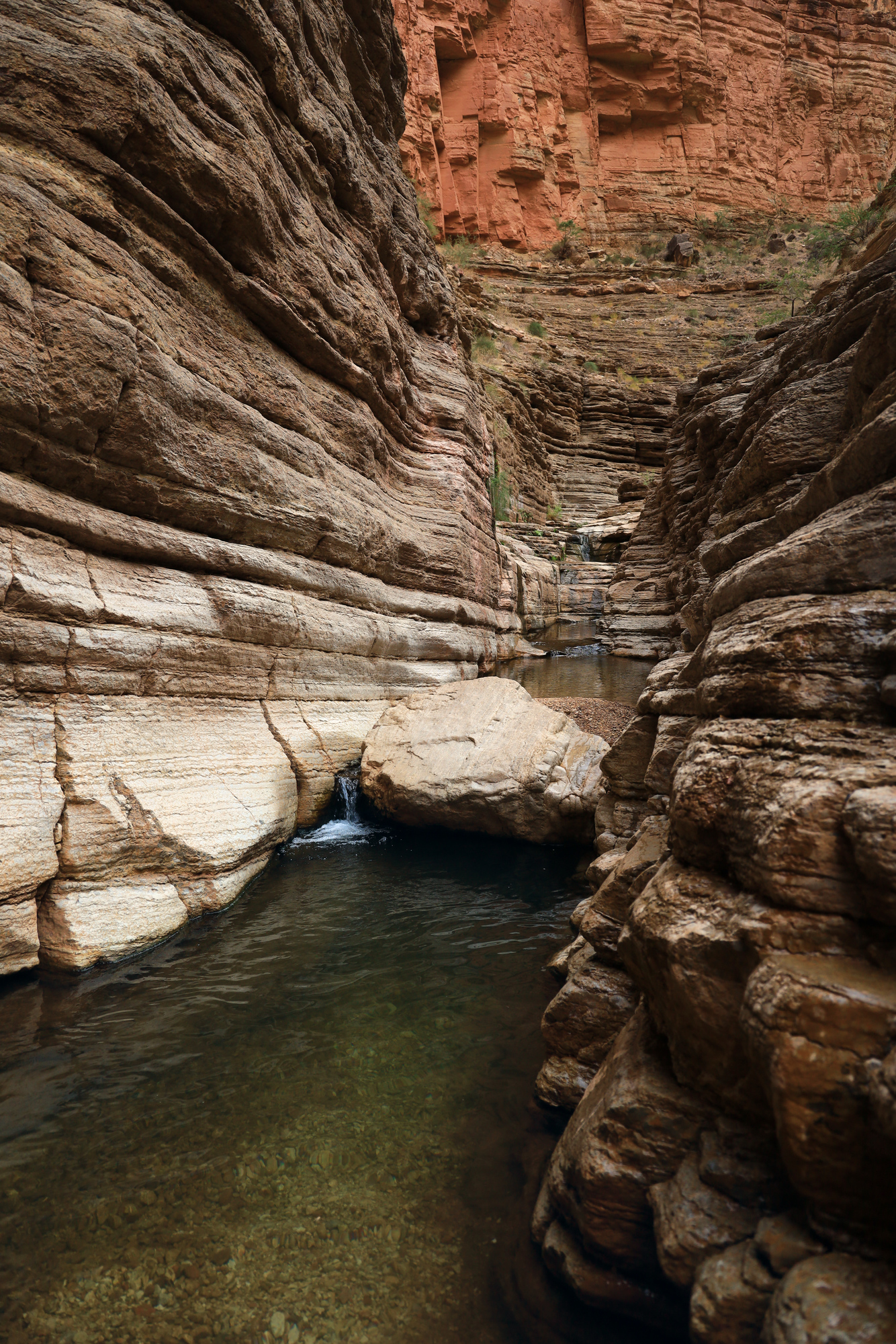
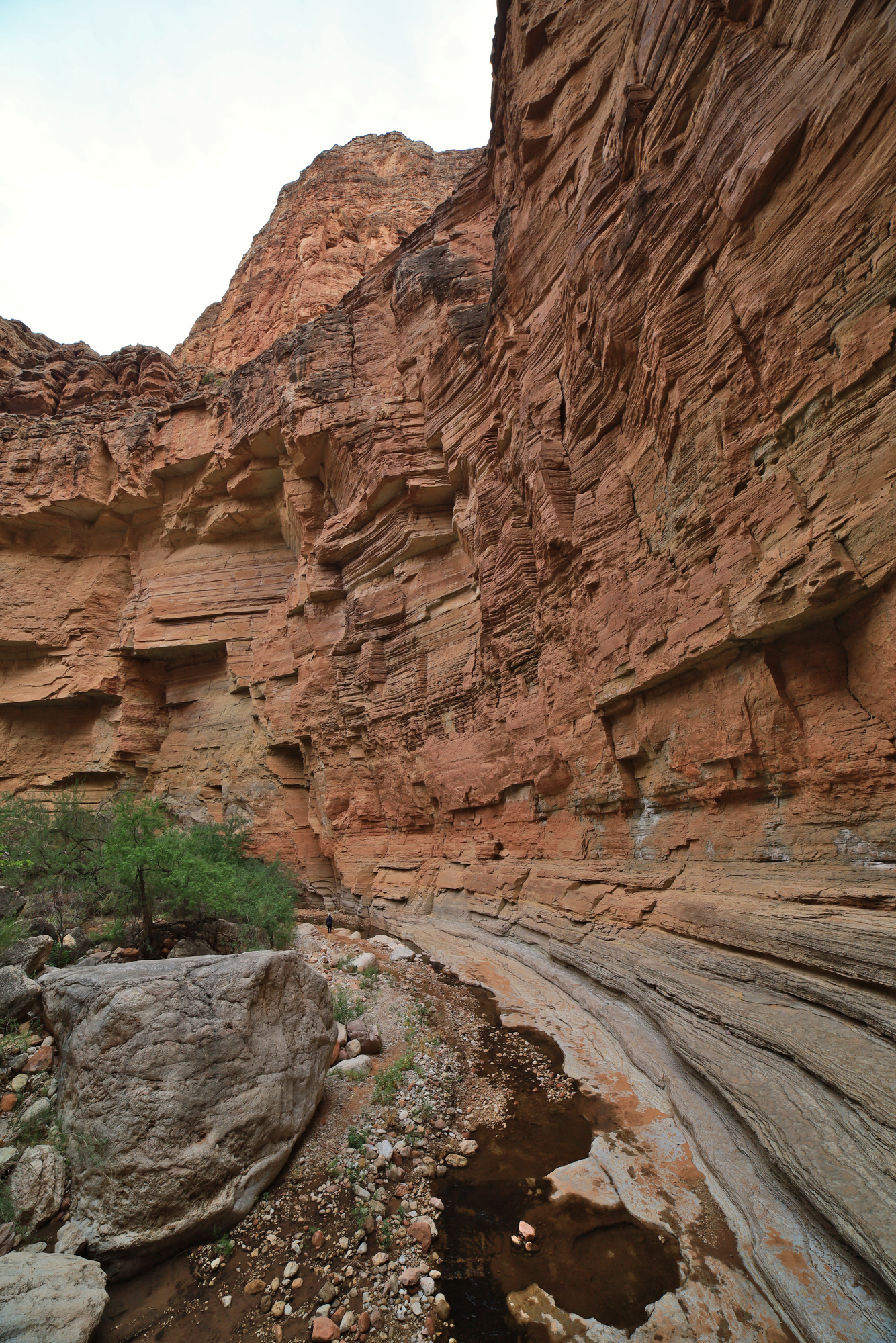
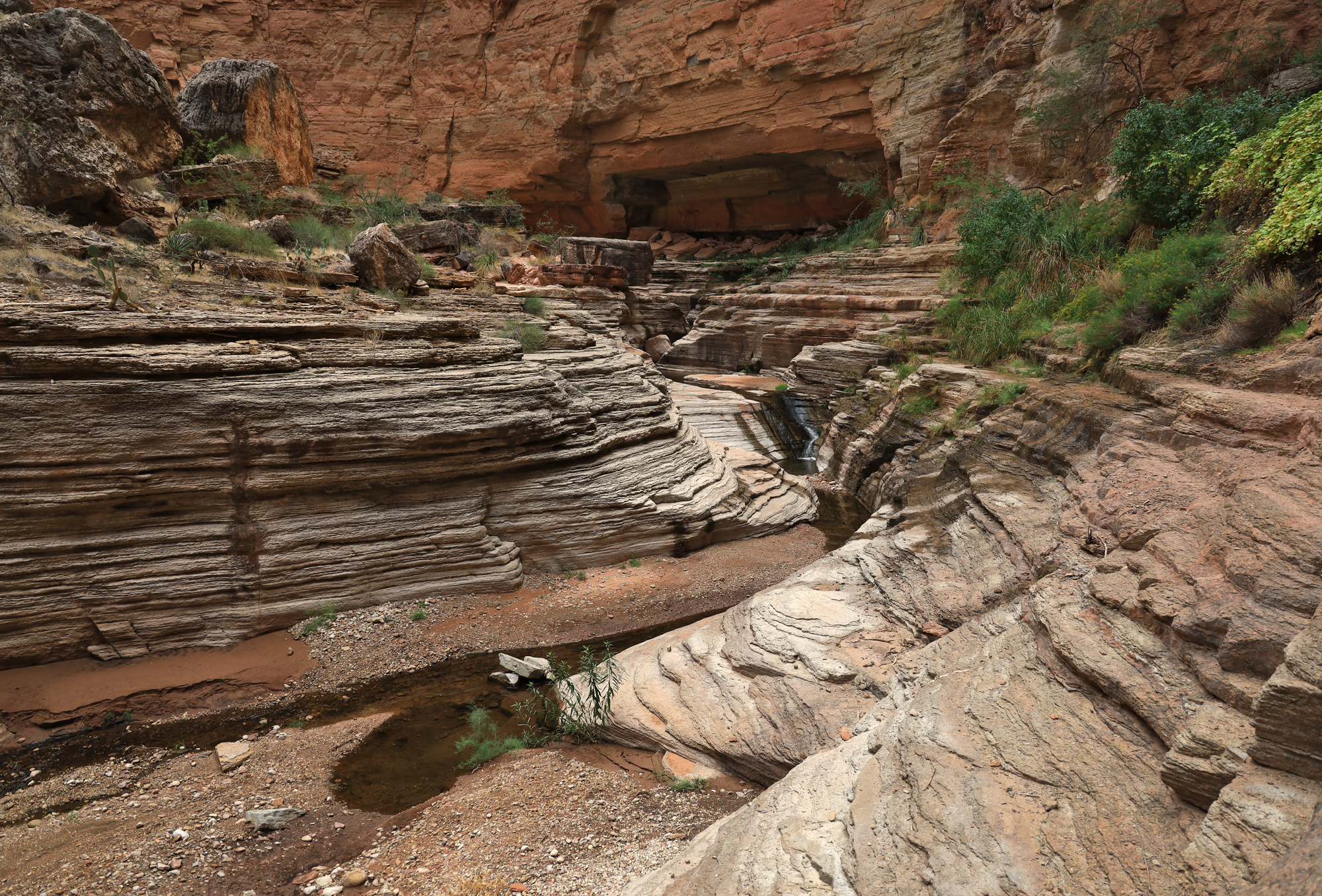
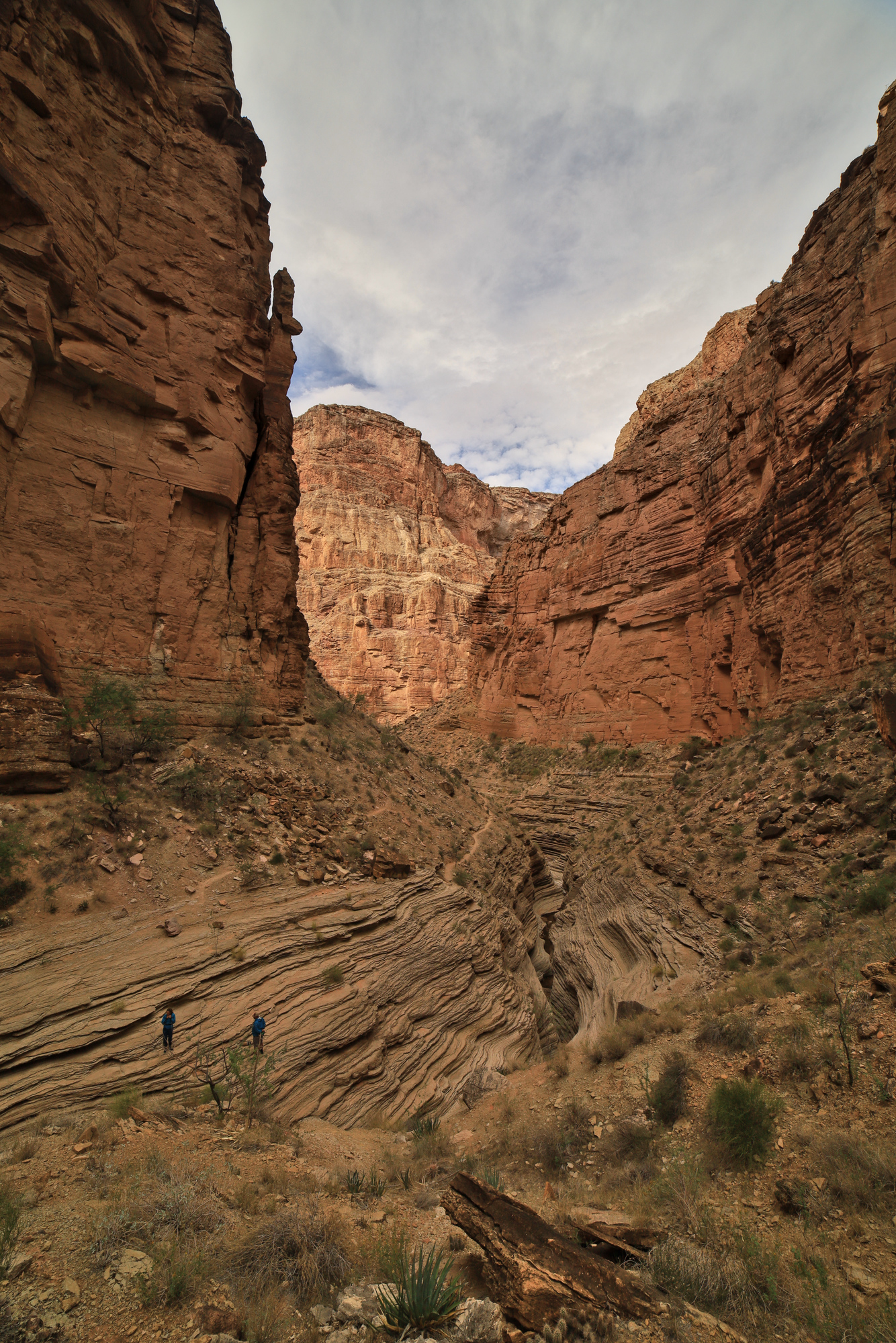
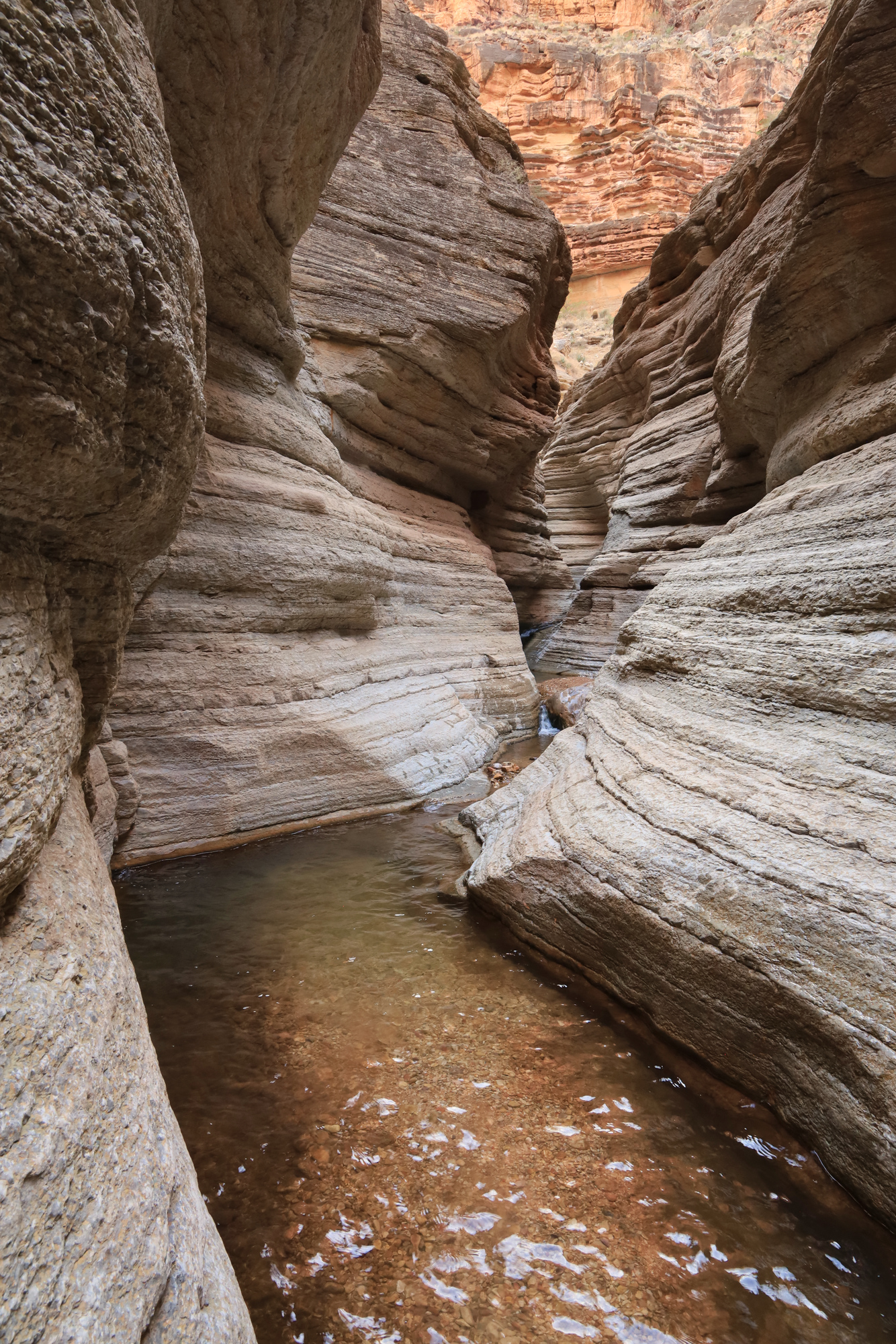
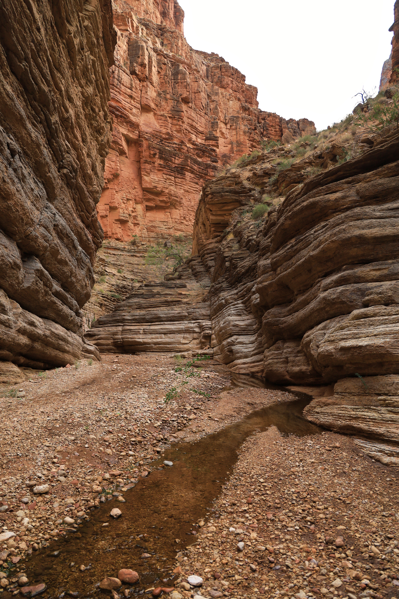
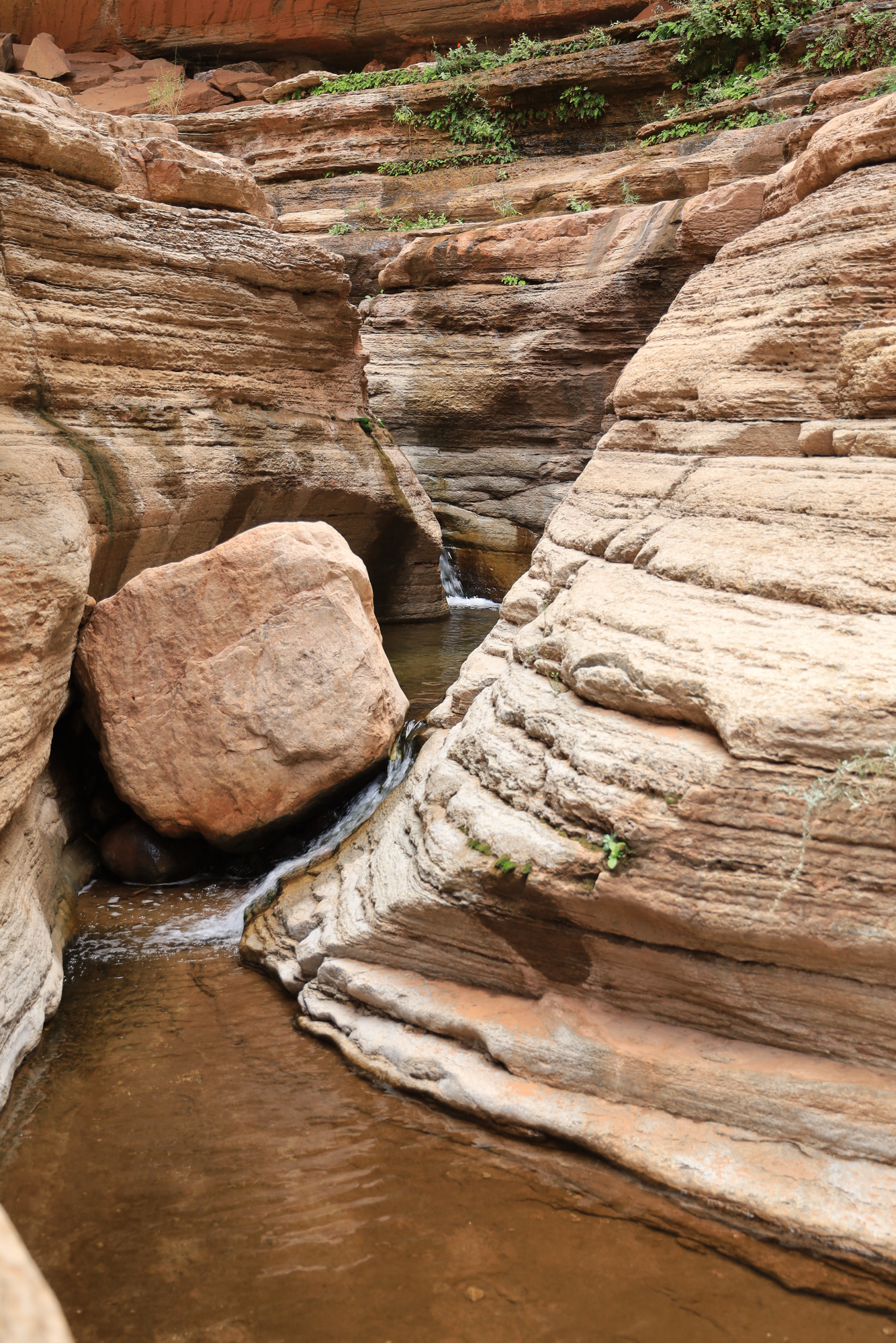
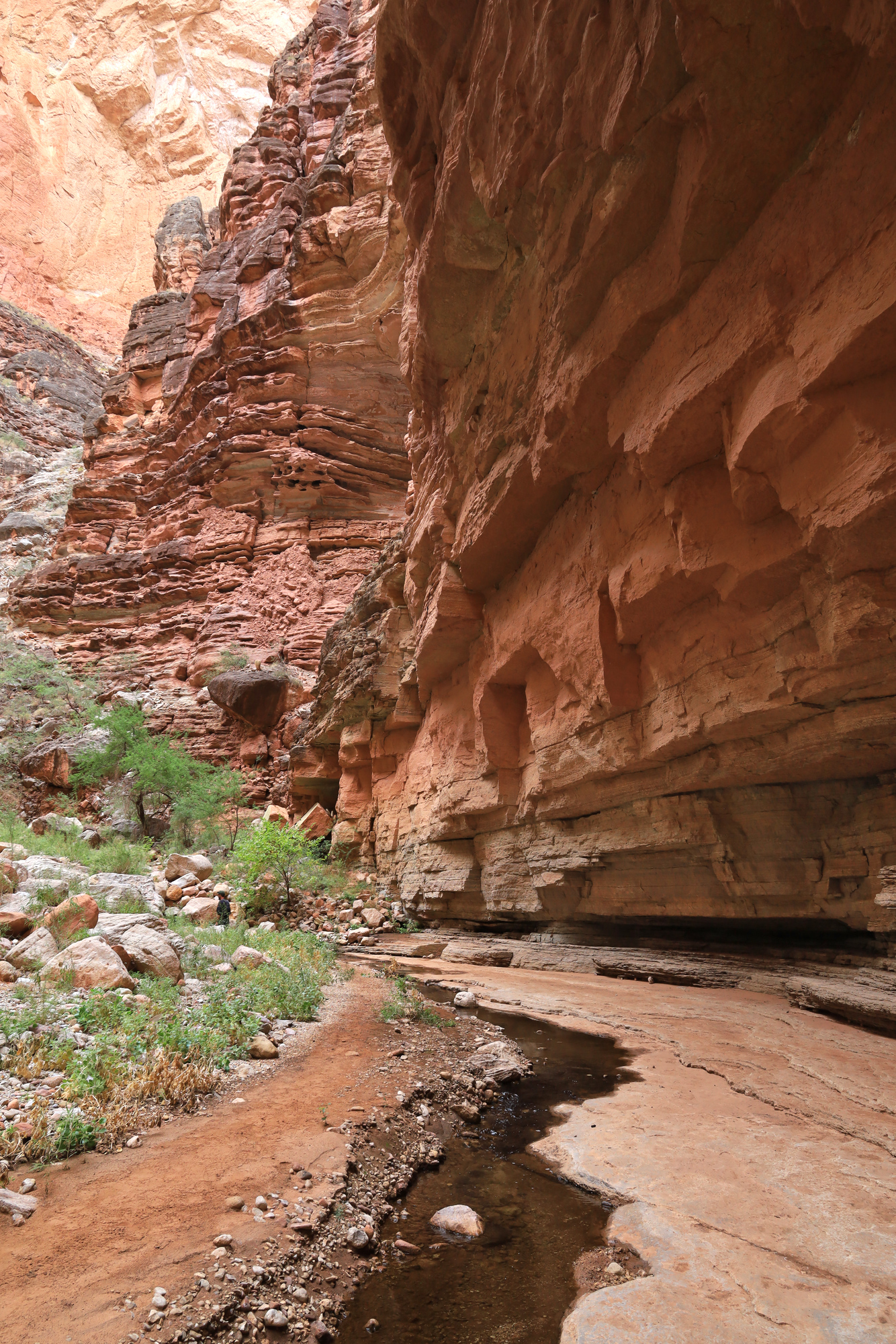
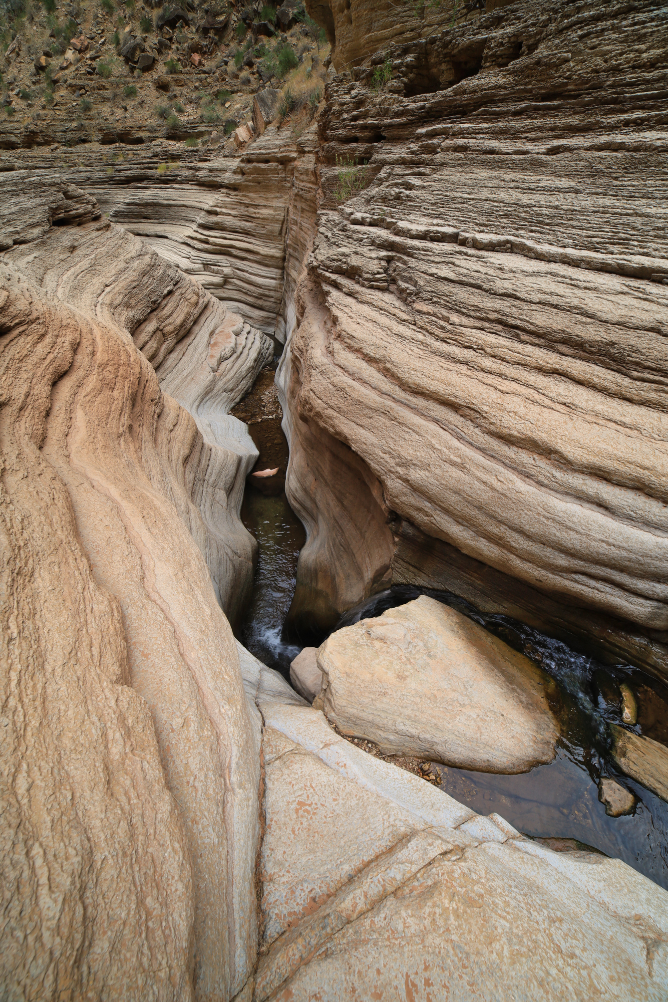
We continued through the flat water to Surprise Canyon where we stopped for the evening. It was a very spacious camp due to the silt bank formed by the lake. I took some time in the evening to explore up Surprise Canyon. Unfortunately, it was not as interesting as I had hoped. When the lake was full the canyon had clearly filled with silt deposited by the creek running through it. These days the water level is much lower due to the drought, so the creek has slowly been carving a path through the silt layer. It’s an extremely slow process though, so the canyon mostly looks like it is filled with river debris.

Looking upstream in surprise canyon. You can see the “bathtub ring” clearly on the right side.
Beautiful isn’t it? It’s going to take the creek a while to clear out all this rubble

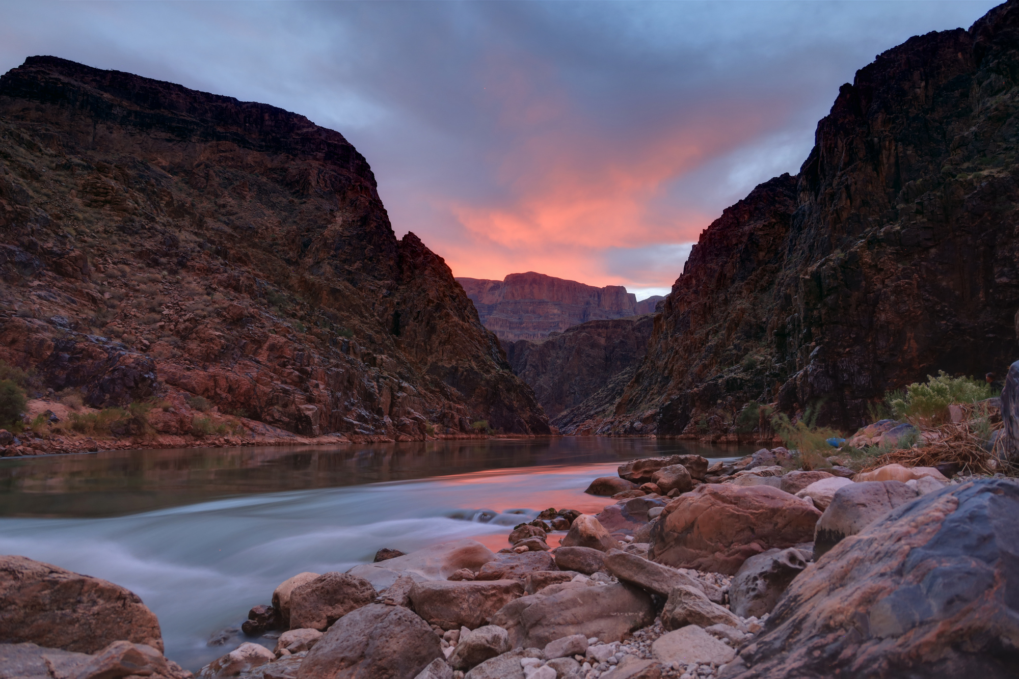
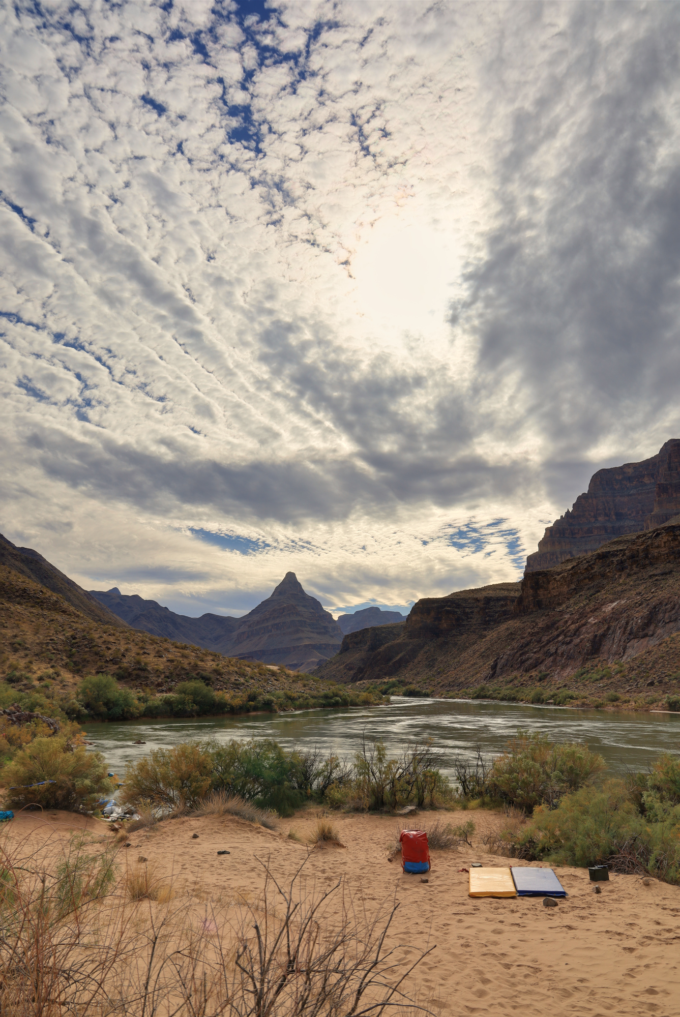
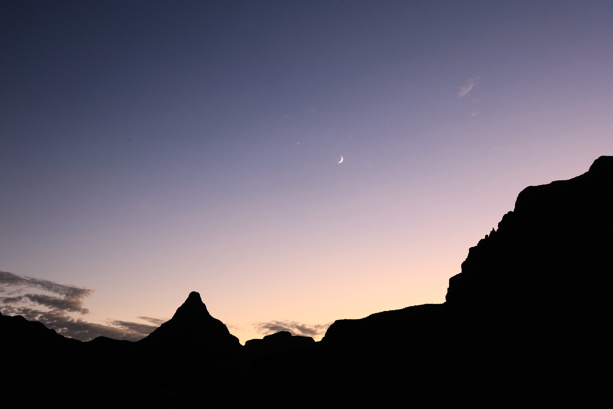
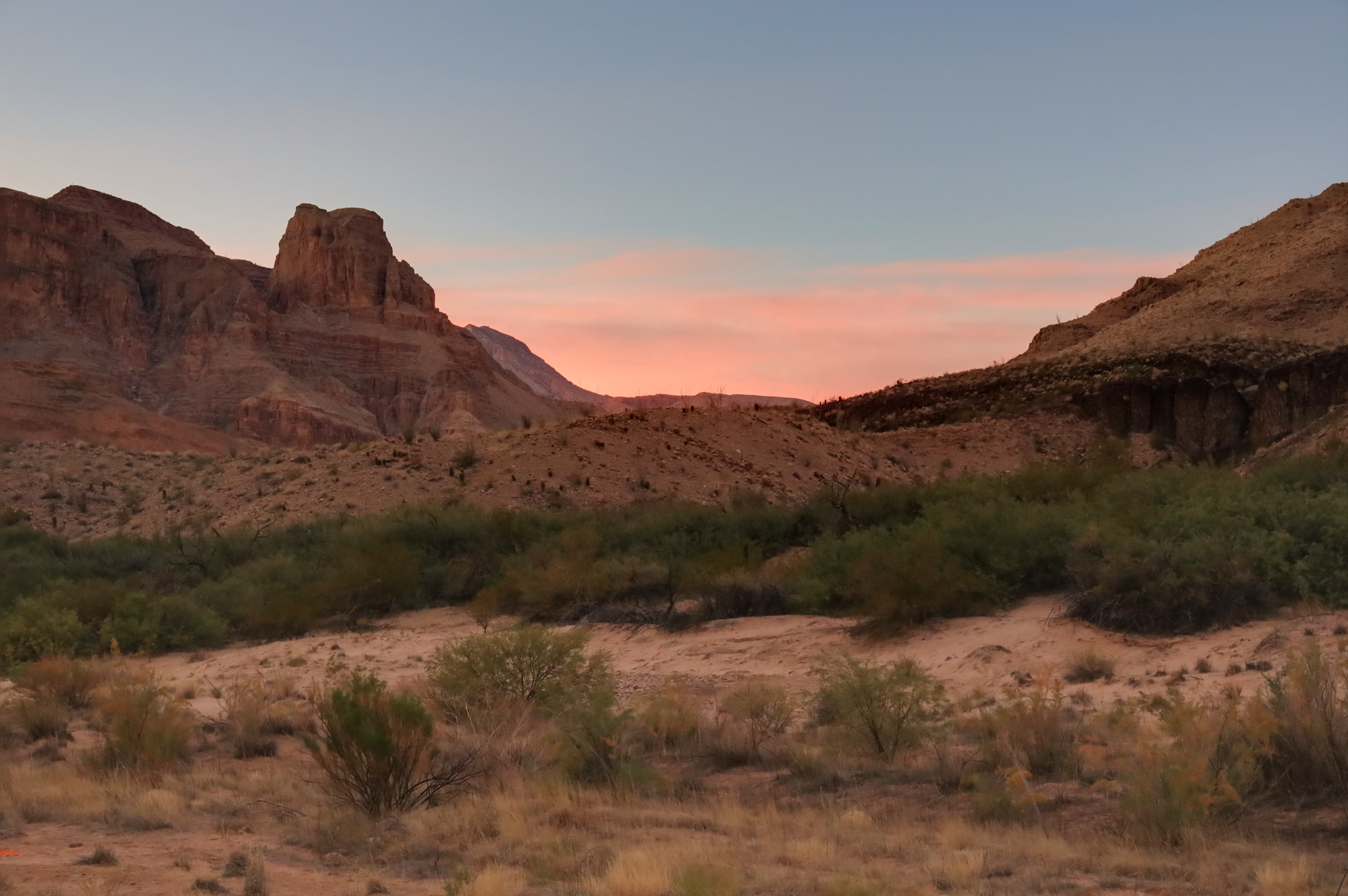
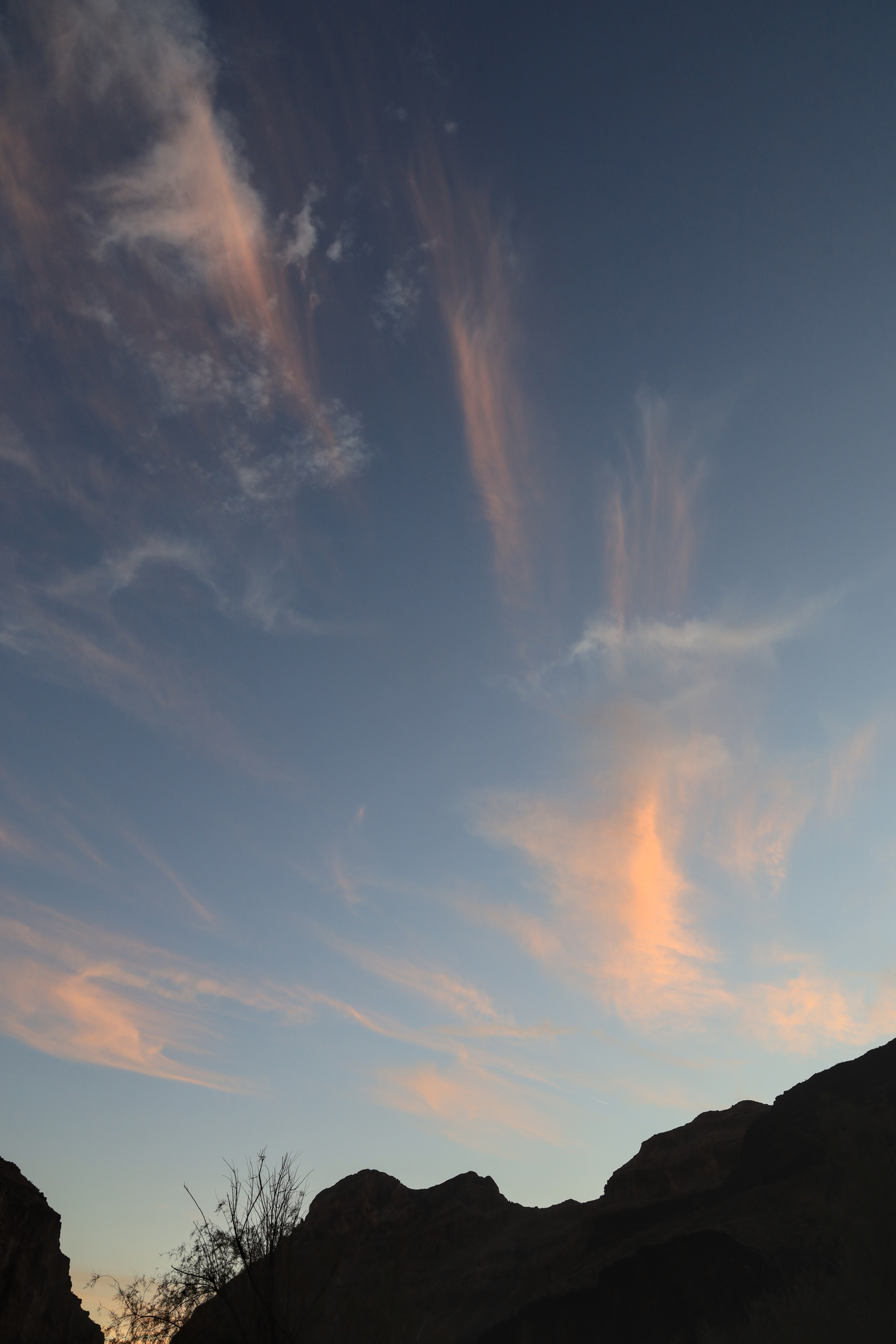
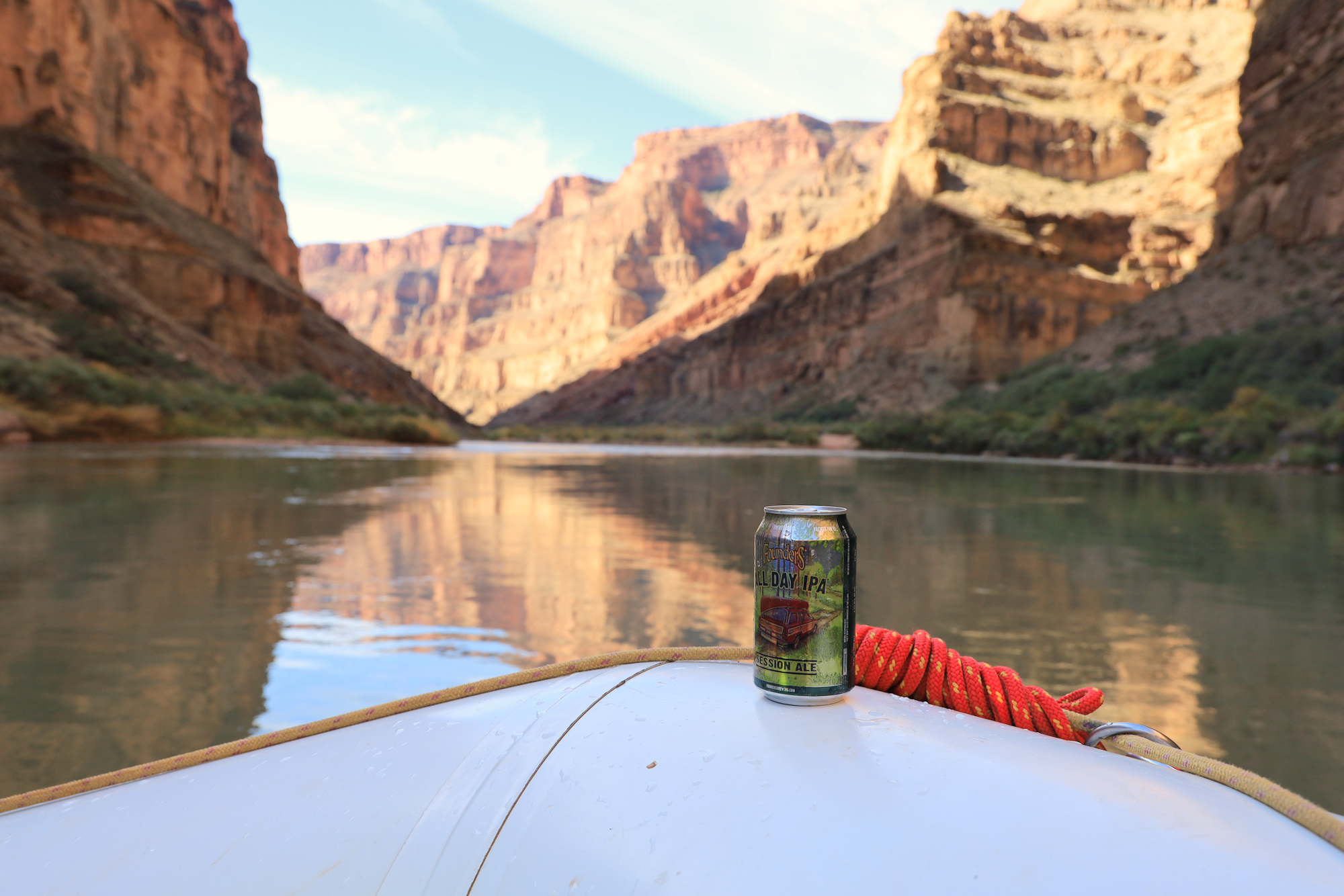
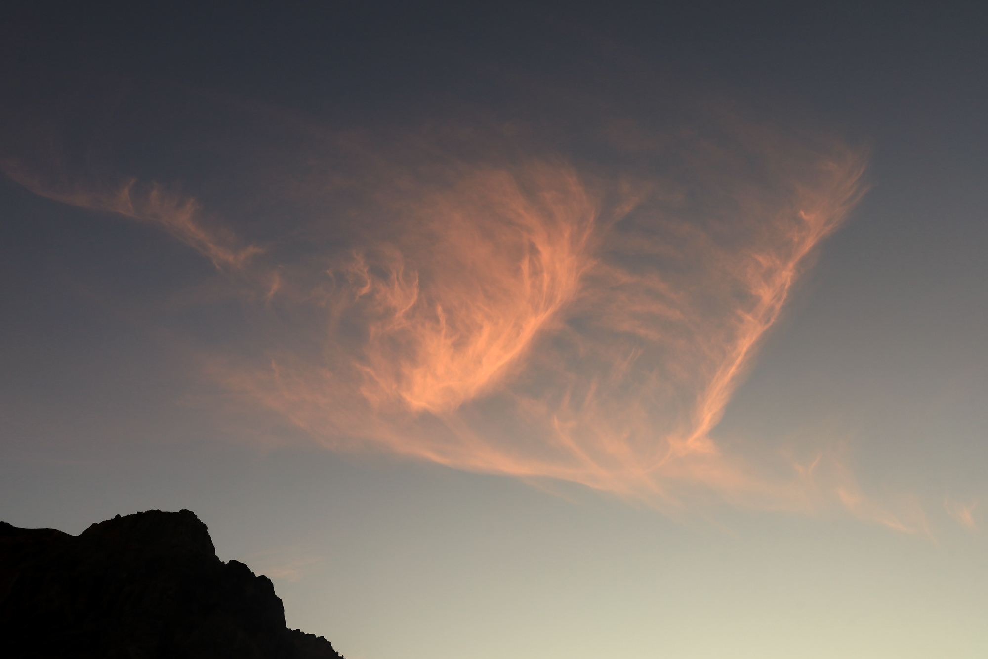
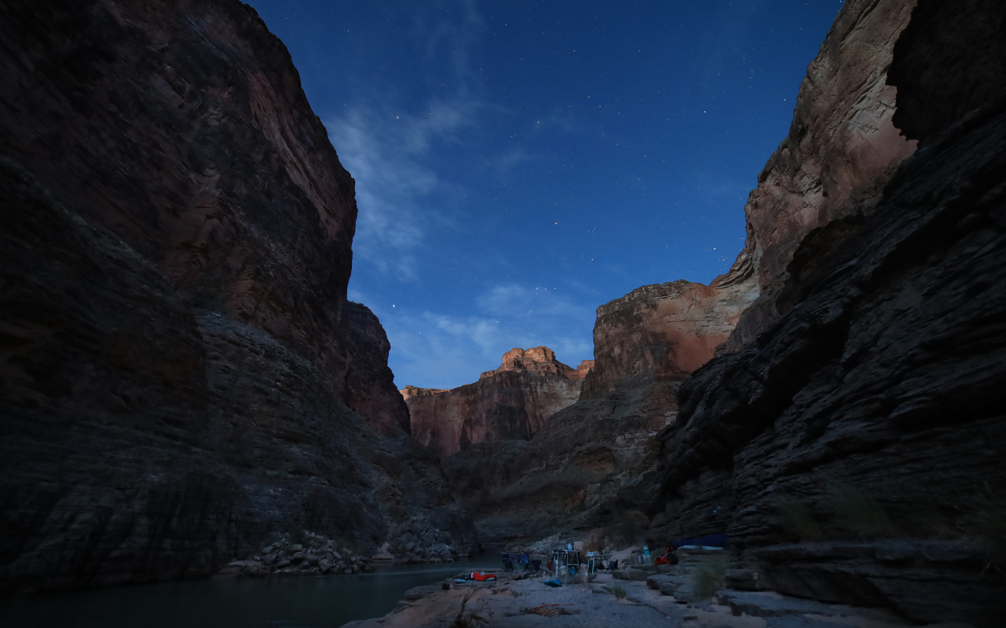
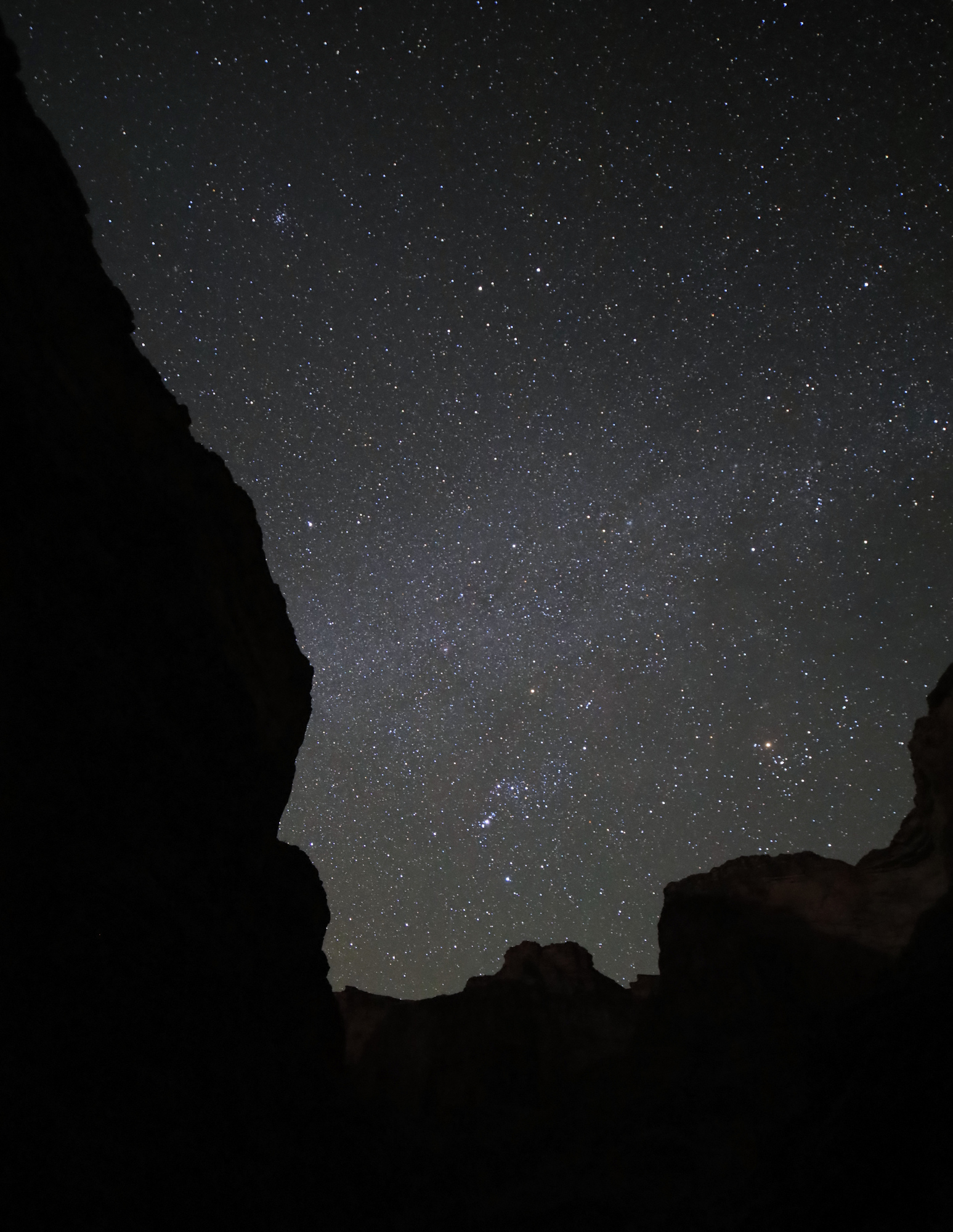
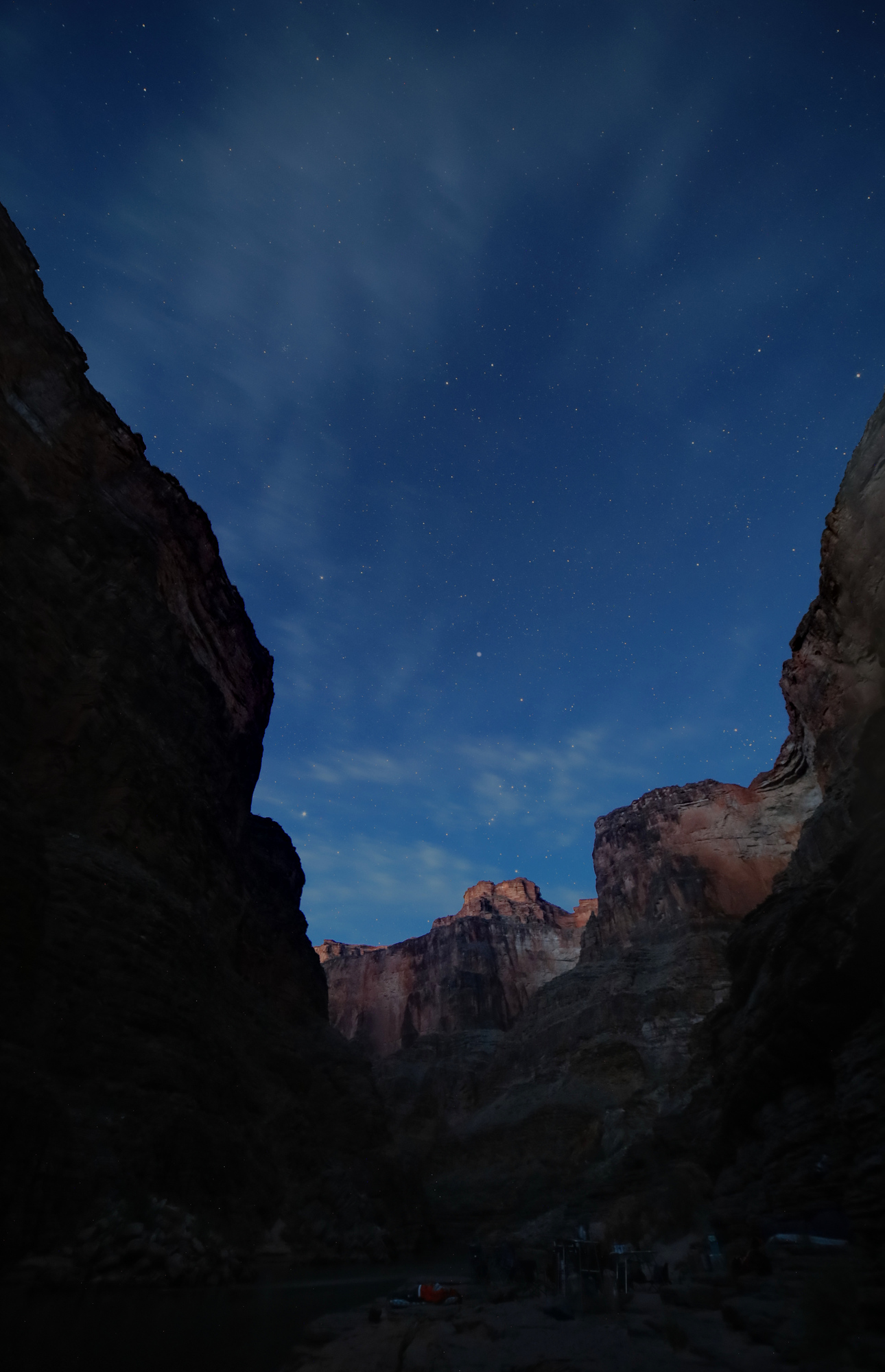
After my little hike I simply enjoyed the quiet evening at camp and unpacked my kayak for the final time. I would be on the rafts for the rest of the trip. We did get just a bit of nice color for the sunset, but nothing compared to the last couple evenings, so I’ll leave you with an evening photo instead.

Looking downstream from Surprise Canyon

Taken 11/9/21

222 Camp to Bridge Canyon – Grand Canyon Day 13

You know what’s a great way to start the day? This view:

Looking upstream over the river at sunrise

After the amazing sunset the previous evening, I woke up early and took a look at the sky to see how things looked for the sunrise. Of course this is a pretty easy task when you are sleeping on the ground without a tent, so what I really did was just roll over and look up. I could tell those wispy clouds from the night before had stuck around, so I figured there would be a good chance of a colorful sunrise, especially given that we were in a fairly open section of the canyon. As it turns out, that was correct, and I had a great time capturing it all from the far side of the debris fan that we were camping at.

The colors just kept getting better

As usual, we had our breakfast and set off downstream before long. The river started off quiet that morning as we made our way down to Diamond Creek, the takeout used by most of the trips through the canyon. We were on the last day of our permit at this point, so we were right on schedule passing Diamond Creek. Unfortunately, we were slowed down a bit by a stomach bug that hit one of our boat captains. Fortunately she was able to make it through the day with some extra rest, and we continued on.

Looking downstream as we float towards Diamond Creek

Given Diamond Creek’s reputation as the typical end point of river trips, I was expecting the canyon to remain more open and have less interesting whitewater. After all, if it’s just as good downstream, why take out at Diamond? Apparently I was wrong though, and the rest of our day turned out to be as good as any that came before it. There was tons of great whitewater, including a three rapids rated 5 and one rated 7. We also stopped for lunch at the Travertine Grotto, a really cool little cave/slot canyon/waterfall combination that was just off the river.

There was a bit of a scramble up to the mouth of the grotto. The rope ladders made for easy climbing though
Looking into the entrance of the grotto
The falls at the rear of the grotto. A few people opted for showers here
The view up into the grotto was beautiful

We all spent some time walking up and down the grotto, taking pictures by the waterfall, and admiring the intricate stone structures all around. The grotto gets its name from the travertine limestone it carves through. This limestone is created by water that rapidly deposits minerals to form all kinds of small structures. You can really see how the deposits have changed over time as the flow of the water shifted. At a larger scale the rock looks almost molten because of the way it follows the flow of water. It’s really something else.

A piece of travertine sitting outside the grotto. You can see a bit of the texture and internal structure it has here

Once we were passed the grotto the whitewater really picked up. The river started carving down through schists and granites again, tightening the flow of the river creating more and more whitewater. The highlight of the day was Killer Fang Falls, a rapid with a fearsome name, but one that did not end up causing us any trouble. Everyone avoided the schist “fangs” that are so feared.

A heavily eroded piece of schist with lots of little cylinders carved out by the little eddies in the water

In the interest of letting our under the weather boat captain some extra rest, we got off the water a bit early at Bridge Canyon Camp. The camp was tucked into a tight section of the canyon without much flat space to set up our chairs, but it had some neat rocks and cliff formations right there at camp. I was able to climb up on one to get some neat views of camp, as well as the sun setting further downstream.

Our humble camp as seen from above. That beach was a lot steeper than it looks from this angle
Another day, another beautiful sunset

Before long it was time to head to bed. The sounds of the nearby rapids made for a soothing background noise, so it didn’t take long for me to pass out. Good thing too, because I was up early again the next morning. But that story can wait until next time.

The Moon and Venus setting into bridge canyon

Taken 11/8/21

Big Bar to 222 Camp – Grand Canyon Day 12

Now that we were nearly two weeks in, the daily routine was getting close to feeling routine. This day in particular didn’t hold too many surprises on the river map, and the canyon was starting to feel more and more open around us. It really was starting to feel like the canyon was petering out.

The Colorado didn’t let that feeling last long though, and we came across the Pumpkin Spring shortly after we left camp that morning. The spring is quite unique, with water slowly seeping over the walls to form the distinctive pumpkin shape with colorful mineral deposits. It briefly seemed like a neat spot to take a dip, until we saw the water that was covered in a nasty green algae, and then heard that it has a notoriously high arsenic content. No one even touched it.

Pumpkin spring from river level
The “inviting” waters of the pumpkin spring

From there the float continued more uneventfully to 222 Camp. Apparently the camp naming scheme get’s less creative as you go. We arrived fairly early with plenty of time to explore and enjoy the evening. As usual I started by setting up my sleeping area. This camp had many great options, with great views of Diamond Peak to the west.

The view from my sleeping arrangements
The camp was covered in tracks from various kinds of wildlife. I never saw any sign of them after I set up here though

I decided to go for a short hike up the wash behind camp to get a better view of the canyon around camp. It was a short, but pretty hike with some interesting bushwhacking up to the ridge for an impressive view. On the way back down the ridge I came across a couple of ammo cans hiding a cache of notes and trinkets. Apparently this is a way for raft guides to pass messages and jokes between groups. It was a pretty neat find that I never would have found if I hadn’t essentially stepped on it on my way down the hill.

The view from the ridge above camp. We were set up on the little sandy area to the left of the ridge
A cache of trinkets and messages behind a rock on the side of the hill
A little taste of what was inside. Lots of the stuff was surprisingly old

222 Camp may not be a very memorable name, but the camp has a good reason to be definitively burned into my memory. It had the best sunset we saw in the entire trip. Over the course of about an hour we all sat around the fire and watched the clouds slowly thin out, start to glow pink, orange, reds, and purples. The view is impossible to convey in words, so I’ll let my photos do the talking on this one. What an end to the day!

The view around camp as the clouds were putting on their show
Looking downstream to diamond peak framed by the sunset
The colors continued after the sun was down and the moon was lighting up the sky

Taken 11/7/21

Whitmore Wash to Big Bar Camp – Grand Canyon Day 11

After my action packed layover day it was nice to have a much more relaxing day of floating again. Most of the morning was quite relaxing. As usual on these quieter days we traded between boats as the day went on. It’s always nice to get to spend time with different people over the course of the trip. It’s a really nice relaxing way to get to know people better. We stopped for lunch at the mouth of Parashant Canyon to grab a bite to eat and check out the book of worms, a large piece of shale with many many fossilized worm burrows. It turns out the canyon has a lot of large pieces of shale, so we ended up spending quite a while wandering about looking for the right one. We found it though. At least we think we did…

We concluded this rock was not the one. It was still pretty neat looking though
These are definitely worm trails, so we declared this one the winner
Parashant Creek was definitely dry when we were there.

The afternoon was similarly relaxed,. There was not too much whitewater, with just one significant rapid over the course of the day. The rapid was still a memorable one for me though. When we arrived at the rapid I was the closest person we had to a guide, so I got to run the rapid on the oars. It was my first real rapid on the oars. Overall it went well. I only got turned a bit at the end, but did hit the line I was aiming for dead on. I still think the kayaking is fun, but I can really see enjoying this version too.

Past 205 it was a short trip to Big Bar Camp for the night. My turn was up for the kitchen crew, so after unloading the boats it was off to help cook up the evening’s meal. The cooking went smoothly despite being interrupted by a beautiful sunset. Always have to have that camera ready in the canyon!

The setting sun lighting up a cliff above camp
What a way to end the day! The sandy area in the foreground is our camp site

Taken 11/6/21

Whitmore Wash – Grand Canyon Day 10

Given that we had comparatively little time to explore the canyon on land, both of the layover days that we had were a special treat. This one had a very different feel than the previous layover at Deer Creek. Instead of a big organized hike, we had a number of smaller activities going on with people coming and going throughout the day. Once again, I started my day early. I got up about an hour before sunrise and hiked upriver towards the Whitmore Trail. I ended up hiking part way up and then stopping to watch the sunrise. The colors weren’t anything spectacular, but the scenery more than made up for it.

Looking upriver from the Whitmore trail at dawn

The Whitmore Trail was well maintained and meandered through some old lava flows. I got an up close look at one of the walls of basalt columns that we had admired from the river the day before. It was also interesting to see the hillsides made of ash that crumbled as you touched them. I even heard a few small rockfalls across the river as I hiked. The river never sleeps.

Looking up at a wall of basalt
The trail was cut through this layer of compressed ash and gravel

On the way back to camp I spent about 20 minutes trying to interpret the guidebooks instructions and low detail topographic map to find some pictographs. It turns out I was looking too far upstream at first, and once I made it to the right area they were pretty easy to find. The pictographs were some of the most distinctive I have ever seen. The red color really stood out against the rock, and there were quite a few as well. It was a little puzzling how they got them up there though, as the wall that was painted was quite far off the ground.

Another piece of history in the canyon

From the pictographs it didn’t take long to get back to camp, have a cup of tea, and enjoy breakfast. By this time most people were awake, so I got to hear about the whole variety of plans for the day. There was going to be a yoga class, some beach time, another hike to the pictographs, a hike up Whitmore Canyon, and more. I decided to go another route, and go for a solo hike up to the top of Whitmore Canyon. I gathered by gear and set off just downstream to start climbing up through the bands of cliffs. It quickly became clear that though the route was in the guidebook, this was not a trail. I was soon scrambling up a hillside of basalt boulders towards a cut in the cliffs above. As promised by the book, there was a path through the cliffs, but it was about half climbing, half scrambling at the end.

This field of basalt is the “trail” up. It’s hard to tell from the photo but this was a very steep slope
After the steep climb through the cliff, it was a bit of a surprise to find a completely flat plateau above

Once I had made it through the first band of cliffs the going got much easier. The terrain flattened out and I was able to quickly make my way up to the first point of rock that I had seen from camp. This point is right at the mouth of the canyon, and had an impressive view of the river, the Canyon, and the next layer of cliffs that had appeared above me.

Looking down into Whitmore Canyon. The colors on the opposite hillside were very interesting here
I caught another look at the dorys we had seen earlier in the trip as they passed us one last time. You can also see their yellow support rafts following behind

After relaxing at this point for a while I continued up towards the next level. For a while my hopes were high and the going continued to be easier. I even spent a few minutes on a real trail! But soon enough it was back to scrambling straight up a hillside whose steepness only seemed to be limited by friction of the rocks and gravel that formed the hills. My weight shifted some rocks and boulders more than once through this section. I was very glad to have my hiking poles. I ended up stopping somewhere in the middle of the broken Redwall and took another moment to take in the view. As I was relaxing in the shade of a cliff I saw the most surprising thing of the day: A caravan of cars on the 4×4 in the distance. Someone else was having their own adventure to this incredible place, though in a very different way.

The Redwall is always more impressive up close, even when its broken like this. This section is where I turned around
The most rare sighting in the canyon: A road and cars

The route in the book continues uphill from here, but I didn’t want to push my luck with the rough terrain and the limits of my water supply. I headed back down towards camp. The descent went smoothly, with a couple stops for photos and water on the way back down. All told the hike was only 3.6 miles, but it took me over 4 hours. Still, it was well worth the trip.

A family of barrel cacti living just above the edge of the basalt cliff
This wild rock stood alone on a flat plateau just below the cliff

Once back at camp I had some time to go for a swim, take my second bath in two days, and relax on the sand. All told it was a wonderful day, capped off by a wonderful sunset. Next time though, I’ll take that guidebook with a little bigger grain of salt.

The clouds downstream lit up over the river

Taken 11/5/21

Lava Falls to Whitmore Wash – Grand Canyon Day 9

Just like our first day of whitewater, this day started with a bang. Shortly after pushing the rafts off we came to the hardest rapid in the canyon. After scouting the rapid from a hill on river right, I took off with the first group of rafts to drop in. Though it was a quick rapid, it was a blast. The power of these monster waves is really incredible. I did get thrown off course a bit, but made it through without much issue. I tried for a few minutes to paddle back up and surf on the waves, but was never able to get in. After watching the rest of the rafts run through we headed just downstream to tequila beach to celebrate the fact that everyone was still upright and in their boats.

The main wave train in Lava Falls

What followed was completely different. The rest of the day was a relatively gentle float through calmer water with the occasional riffle. The scenery on the other hand took another interesting turn. As we continued downstream we saw more and more lava flows around us. There were all kinds of basalt columns and signs of ancient lava dams. It was quite a bit different than anything we had seen up to this point.

Basalt columns along the side of the river
This layer of basalt shows up very clearly where the canyon has eroded away below it
You can see where the lava flowed down from the higher levels of the canyon through a cut in the rock here

The day floated by quickly and before we knew it we had arrived at Whitmore Wash and our camp for the next couple days. Though we went through the usual un-packing routine, everyone was eager to relax and we ended up spending a couple of hours enjoying the late afternoon sun that shined directly down on the beach at our camp. It was a perfect opportunity to get a bath, do some laundry, and just unwind a bit. Given that this was another layover camp, I spent some time planning out some hikes for the next day, so stay tuned for more…

A wasp relaxing on the beach with us

Taken 11/4/21

Tuckup Canyon to Above Lava Camp – Grand Canyon Day 8

Perhaps it is just because we were more than a week into the trip, but day 8 really felt a little less eventful than any of the previous days. We got our usual start in the morning and hopped on the rafts. This day didn’t have any serious whitewater, so we had quite a relaxing day floating along the canyon. It was a pretty trip though with plenty more tight canyon walls all around us.

A true rafter’s view of the river. IPAs were very popular with my dad on this trip
Our lunch spot for the day. What a treat to have this beach and this view!

We made steady progress over the day towards our destination for the evening, Above Lava Camp. Once there we had some time to enjoy the direct sun, a rare treat thus far. I also walked down to scout Lava Falls a couple of times, which looked both impressive and fun. I was excited to run it the next day.

Lava Falls seen from river left

The walk down to lava falls also showed a good example of the debris flow that shapes so much of this river. Most of the rapids on the river are formed by debris fans created by the many, many side canyons. The debris creates a constriction that forces the water to run faster, creating the whitewater. Lava Falls’ debris fan had clearly been eroding for many years as smaller flows came out of the side canyon. You could see how the water had cut through these layers, revealing the rocks and gravel that were caught up in all of those previous flows.

The eroding debris fan at the top of Lava Falls

That evening was a calm before the (Lava) storm. We all relaxed around the fire and enjoyed the usual sunset light show that happened every evening. A fitting end to a calming day.

A wispy cloud catches the setting sun

Taken 11/3/21

Above Ledges Havasu Canyon and Tuckup Canyon – Grand Canyon Day 7

Day seven started early. Really early. I woke up multiple times during the night admiring the stars framed between the tight canyon walls. It’s a really fun way to take it all in because I can stay wrapped up in my cozy sleeping bag and still appreciate the view. By 5 AM or so I was up taking photos. First of the moonlight canyon walls, then of light of the rising sun as it started to filter down into our little corner of the canyon. The early start was totally worth it.

The moon was bright enough to light up the canyon around camp
I climbed up to this ledge high over the river to get a better view of the sun starting to light up the horizon just before dawn

After some breakfast we hopped back on the rafts and floated through a few bends of the river to Havasu Canyon. We caught the eddy at the mouth of the canyon and tied up the rafts so we could explore the river and take in the beauty this particular creek is famous for. We spent a few minutes chatting with some backpackers that were about to float downstream on pack rafts, took their trash, and gave them some goodies that only 7 huge rafts can carry this far into the wilderness in ample supply: toilet paper and beer.

Looking up Havasu Creek from near the river’s edge
The rafts tied up in the mouth of Havasu Creek viewed from the trail that leads into Havasu Canyon

After that I grabbed my camera and tripod and started up the side canyon. Let me tell you, this place deserves it’s reputation for stunning beauty. The water is was strikingly clear and blue. Though it did not have it’s full famous milky blue color everywhere, the water was still incredible. We were also treated to a bit of a wildlife. We watched a pair of bighorn sheep climb their way up the canyon walls and then traverse up the canyon. They are comfortable with the heights and exposure in a way that I am quite sure I will never be. They are also extremely fast climbers, and ascend steep slopes in what looks to me like a run.

Our first view of the lushness the creek has to offer
A bighorn sheep ram walking along the edge of the cliff above us

I slowly made my way up the creek, taking in the sights the whole way. It was a nature lover’s playground. The creek was cool and clear, and I spent quite a bit of time wading around picking out interesting angles, rocks, and ripples. I could have easily spent hours in this canyon alone, but I had to at least try to keep up with the rest of the group.

One of many little rapids along Havasu Creek

Even the tail along the edge of the river was interesting

We eventually made it to a bend in the creek where the sun was able to reach down to the pools at the water’s edge and stopped to take a dip. It was hard to go under at first, but it was too tempting to get something resembling a bath in some clean water. Everyone spent some time enjoying their swim and then headed back down to the rafts to have lunch and get ready to push off again.

This particular set of falls was my favorite of our little walk
A closer look at one of those falls really shows of the color of the ferns hanging out from under the rocks

Havasu Canyon definitely makes my list of places I would like to get back to on this trip. Due to COVID restrictions we could not travel very far up the canyon, including any of the bigger waterfalls that are so famous here. Some day I’ll be back. Time was up for our visit on this trip though, so we got back on the rafts and continued downstream to camp for the night at Tuckup Canyon. After all the time we had spent at Havasu this one seemed a bit ordinary in comparison, but I still spent some time exploring it. I didn’t make it too far up the canyon, but still appreciated the tight narrows. After that it was back to camp to enjoy another excellent dinner.

Looking up Tuckup Canyon
As usual, there is are so many layers of cliffs to see in the background as you explore these places

Taken 11/2/21

Deer Creek to Above Ledges – Grand Canyon Day 6

After our layover day it was back to the usual routine of packing up the rafts and heading downstream. It was a calm morning in terms of whitewater with a number of small rapids, but the views continued to impress.

Me, floating through the canyon in the kayak

We stopped for lunch and a hike at Matkatamiba Canyon. I know, it’s a mouthful. Everyone calls it “Matkat”. It was yet another example of the layered rocks eroded away by the side creek. The hike was short and quite easy, but it was also fun. We hiked into the canyon along the side of the creek on top of a ledge. From there we explored the back of the canyon a bit and then hiked back out through the stream, making a loop. I think the photos really explain this one better than I can, so I’ll just let them do the talking:

The lower end of the creek. The trail runs along the upper edge of the right wall
This angle (looking back out) gives a sense of scale with Anne in the background
The upper end of the Matkatamiba narrows. This is where the dry (hiking in) and wet (hiking out) trails merge
Looking down into the narrow section you can see the dry trail to the left of the creek
Believe it or not, this is the trail. Definitely something special!
A friendly toad watching us hike by

There was only a short distance to go after we left Matkat, but it did contain the one big rapid of the day, Upset. This is an 8 that proved to be a tricky one. We got closer to flipping a raft in upset than we did on the entire trip. I watched it all happen from an eddy below the big hole. There was a moment of “uh oh…” before the raft landed upright. To top it off, neither of the passengers fell out, though they did report seeing blue sky in an unusual direction.

Only the bottom of these rafts is black

Once we were through upset we quickly made it to Above Ledges, our camp for the night. This was my favorite camp of the trip. The entire camp was situated on some stone ledges that protruded from the canyon wall right up to the water’s edge. Everyone simply spread out to find their rock of choice and set up their sleeping pads. Once the sun went down a headlamp was a must, because if you took one wrong step you could end up in the water. That being said, I made it safely to bed that night (as did everyone else) and listened to the bats flying around above me. I could hear their chirping above me as they flew around keeping any insects away.

Looking upstream from Upper Ledges camp

Taken 11/1/21