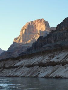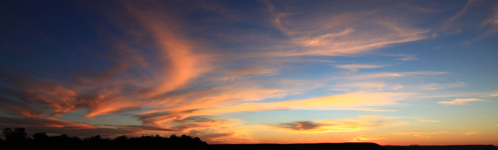
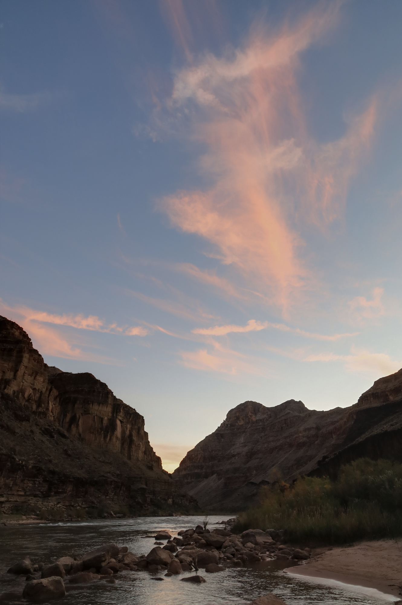
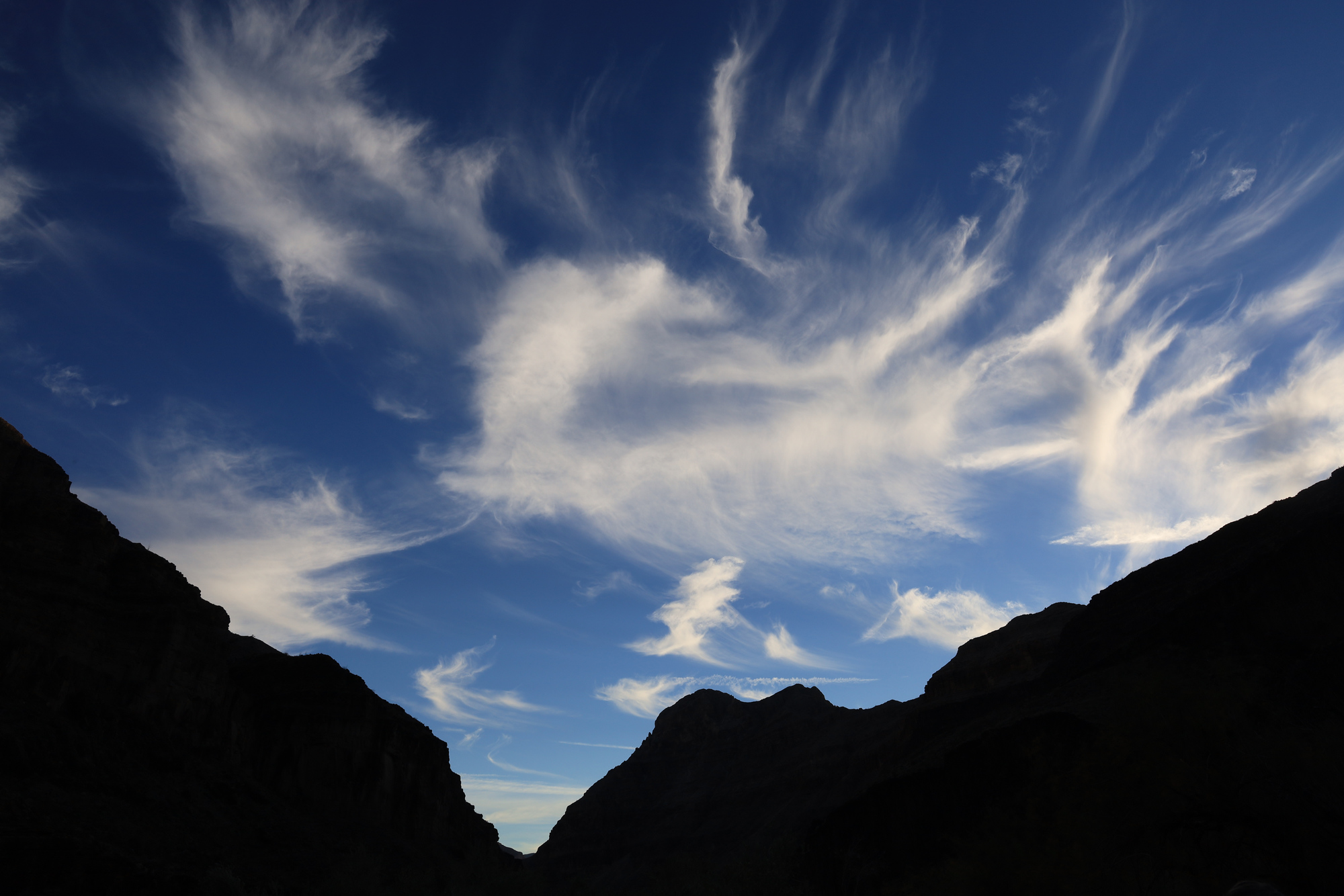
Given that we had comparatively little time to explore the canyon on land, both of the layover days that we had were a special treat. This one had a very different feel than the previous layover at Deer Creek. Instead of a big organized hike, we had a number of smaller activities going on with people coming and going throughout the day. Once again, I started my day early. I got up about an hour before sunrise and hiked upriver towards the Whitmore Trail. I ended up hiking part way up and then stopping to watch the sunrise. The colors weren’t anything spectacular, but the scenery more than made up for it.
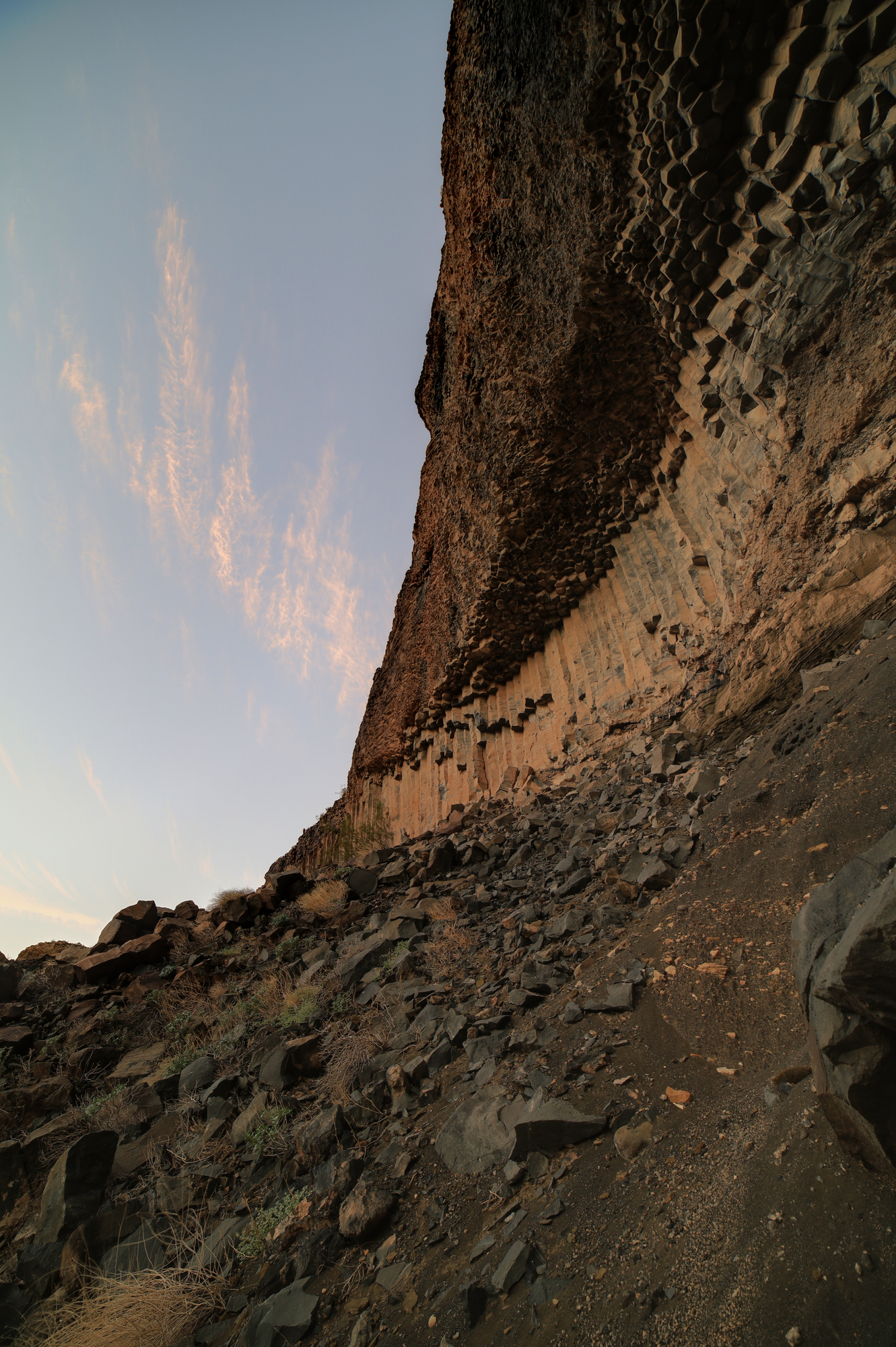
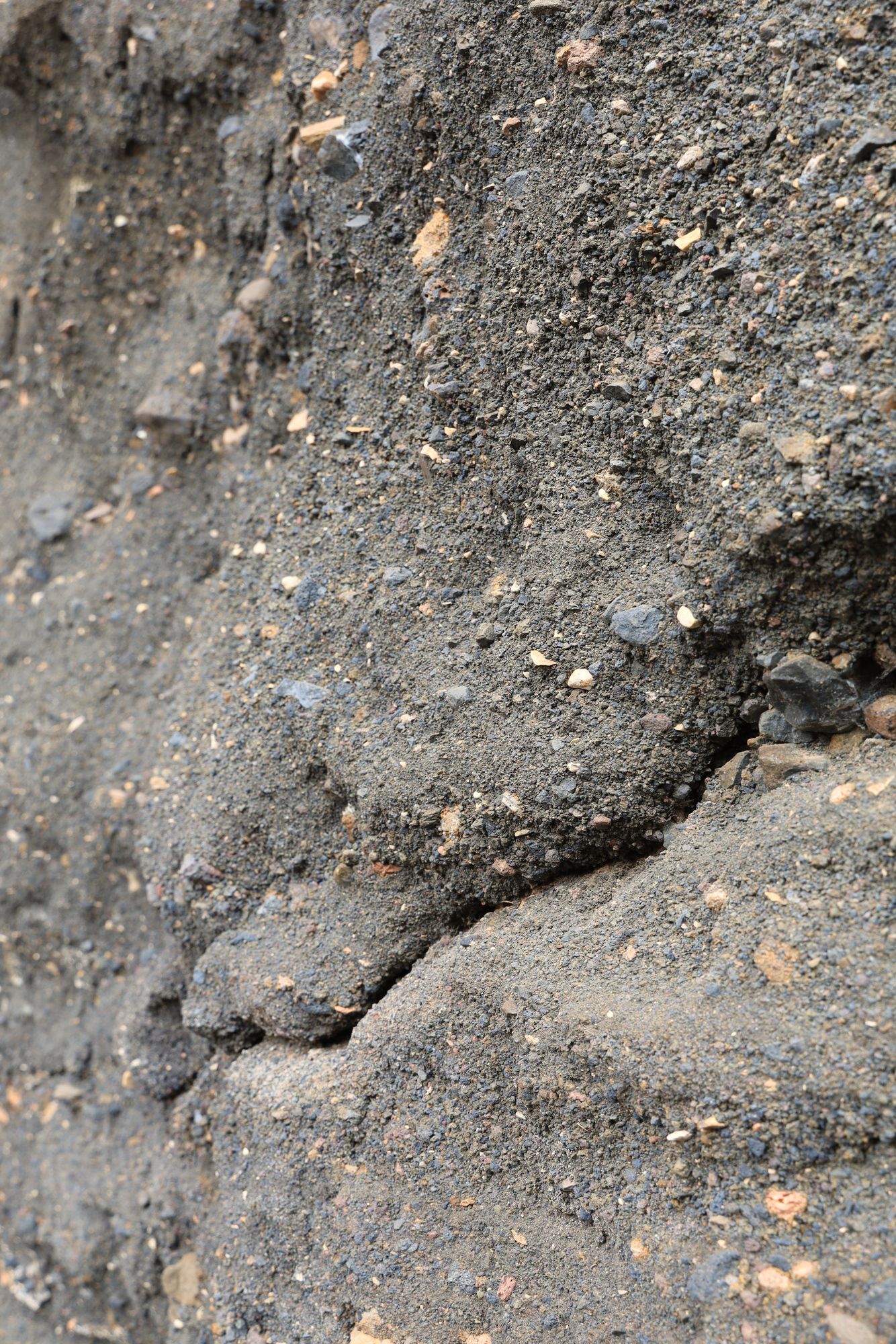
The Whitmore Trail was well maintained and meandered through some old lava flows. I got an up close look at one of the walls of basalt columns that we had admired from the river the day before. It was also interesting to see the hillsides made of ash that crumbled as you touched them. I even heard a few small rockfalls across the river as I hiked. The river never sleeps.
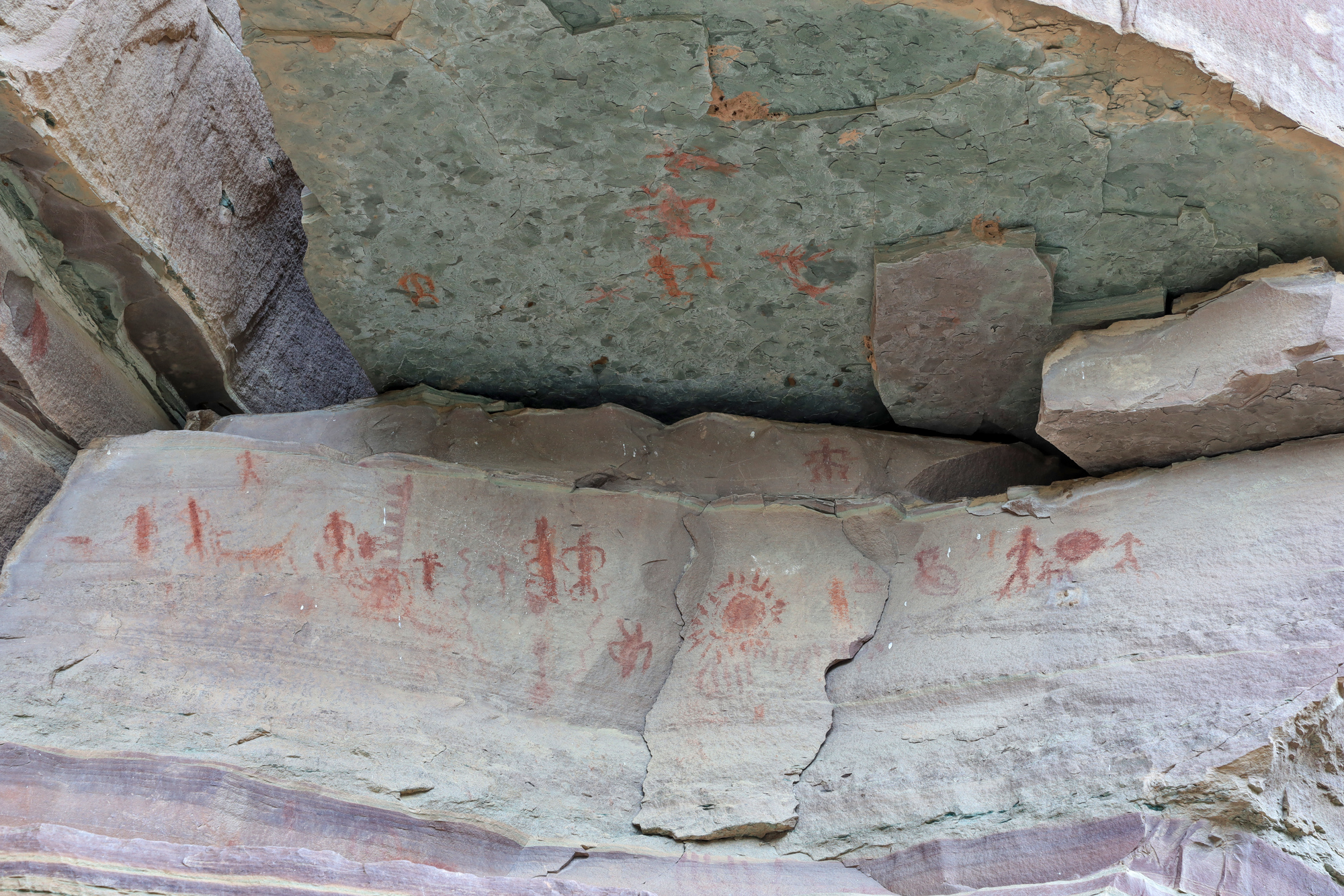
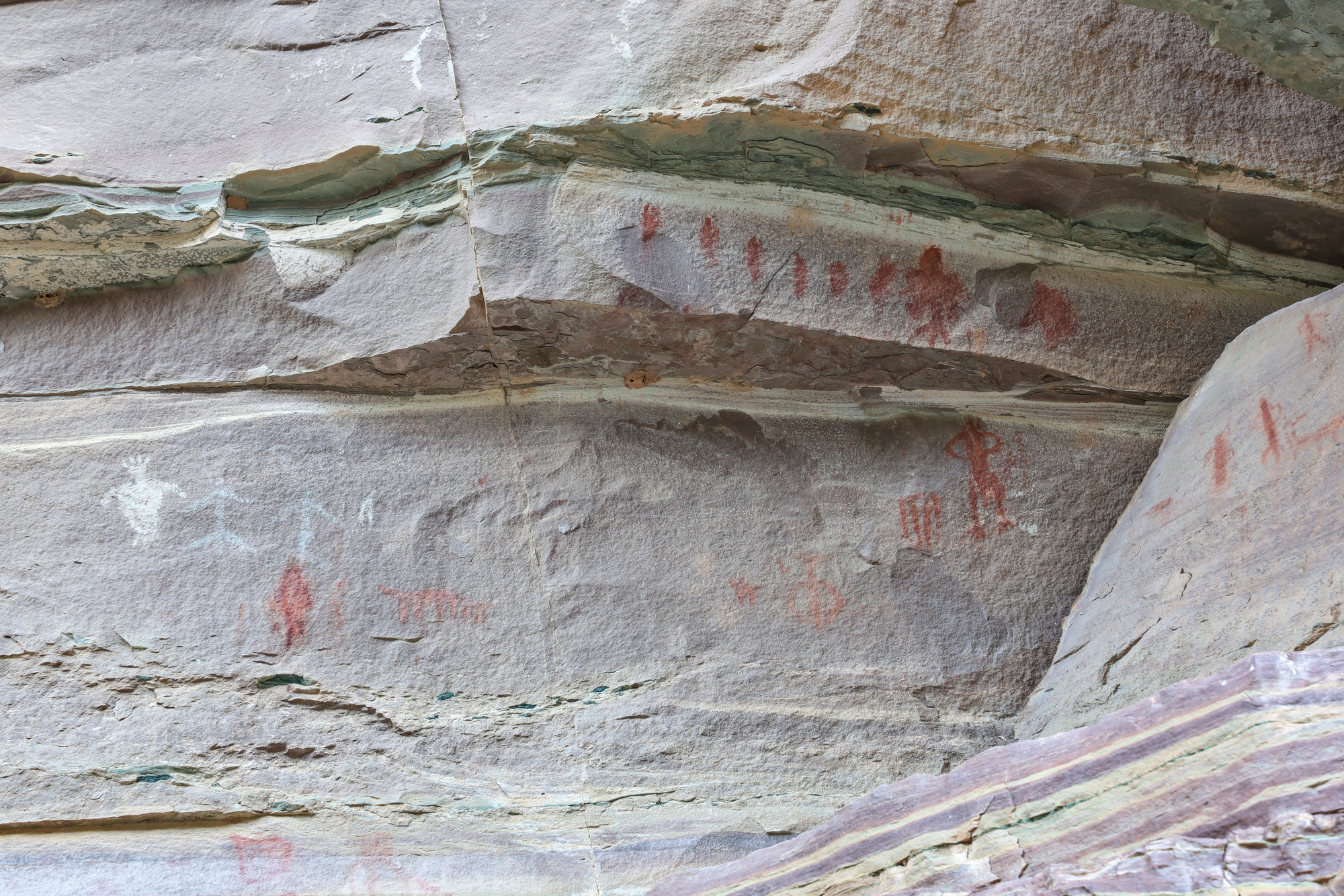
On the way back to camp I spent about 20 minutes trying to interpret the guidebooks instructions and low detail topographic map to find some pictographs. It turns out I was looking too far upstream at first, and once I made it to the right area they were pretty easy to find. The pictographs were some of the most distinctive I have ever seen. The red color really stood out against the rock, and there were quite a few as well. It was a little puzzling how they got them up there though, as the wall that was painted was quite far off the ground.
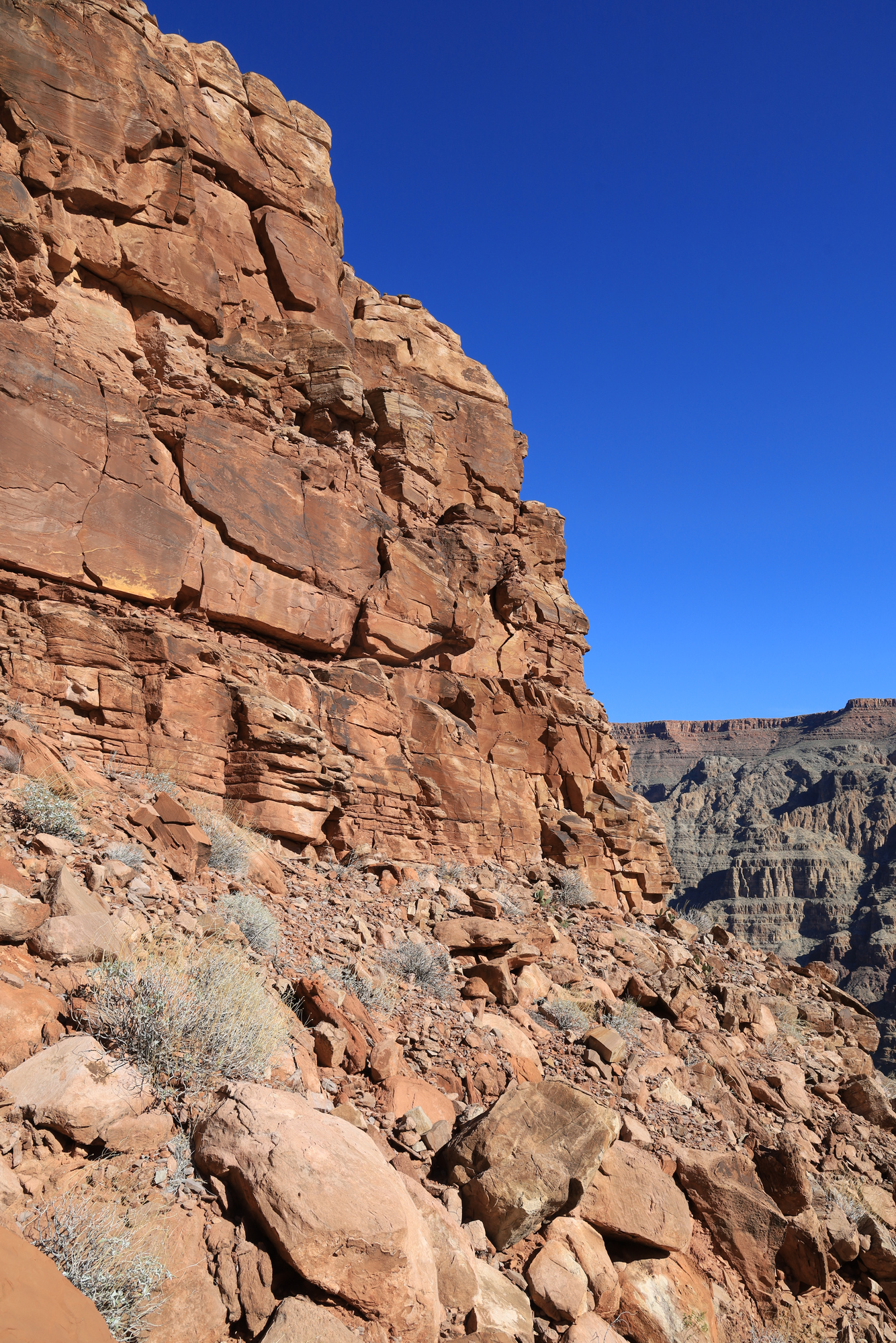
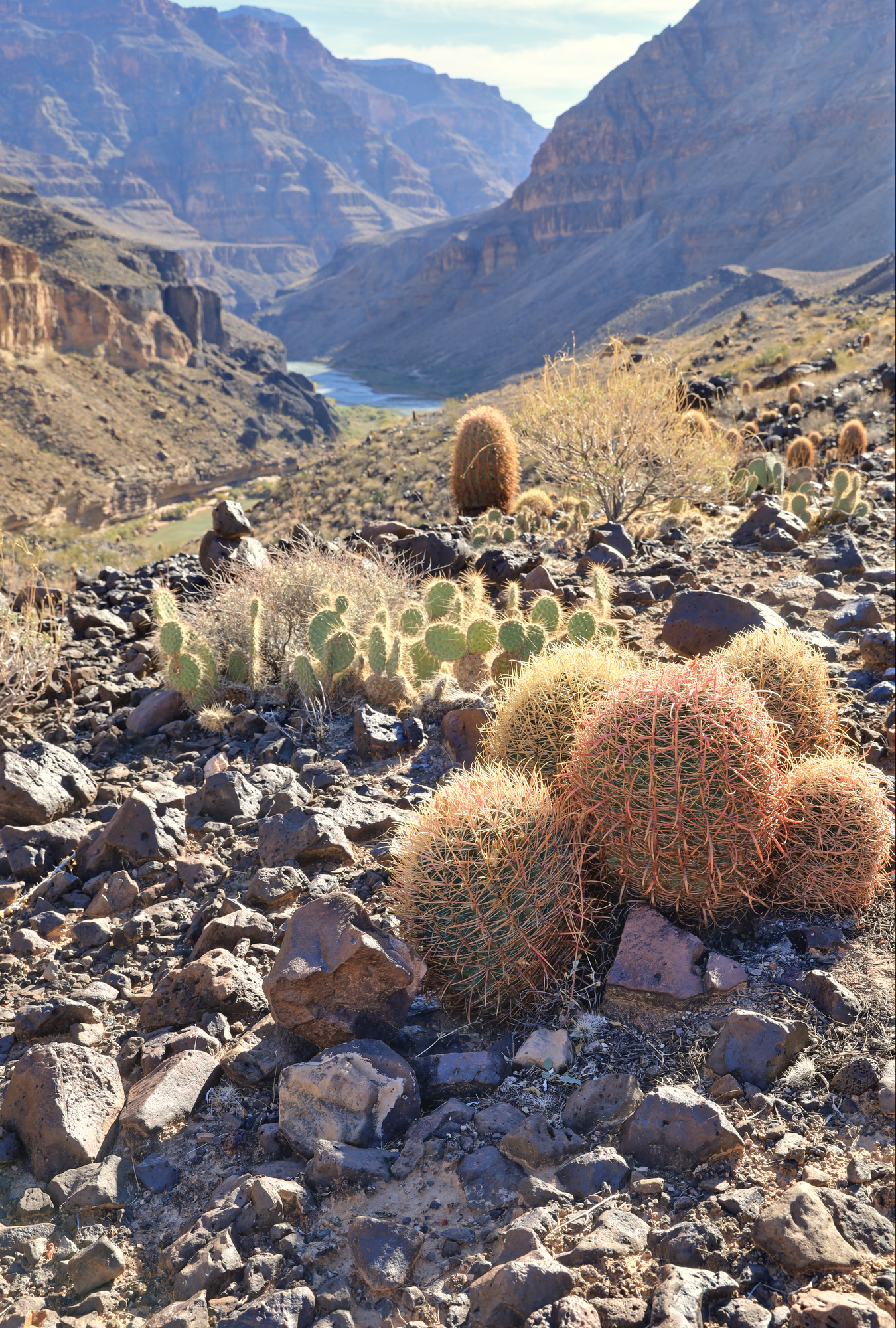
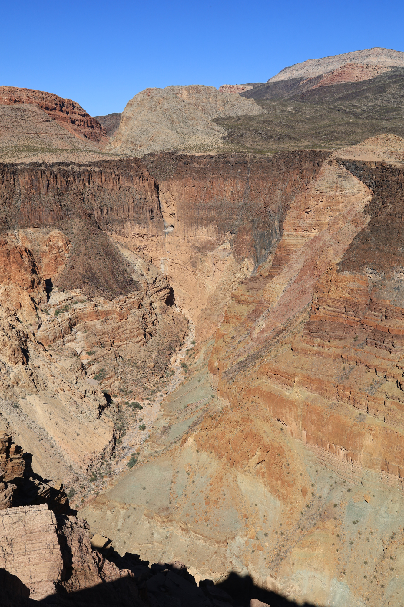
From the pictographs it didn’t take long to get back to camp, have a cup of tea, and enjoy breakfast. By this time most people were awake, so I got to hear about the whole variety of plans for the day. There was going to be a yoga class, some beach time, another hike to the pictographs, a hike up Whitmore Canyon, and more. I decided to go another route, and go for a solo hike up to the top of Whitmore Canyon. I gathered by gear and set off just downstream to start climbing up through the bands of cliffs. It quickly became clear that though the route was in the guidebook, this was not a trail. I was soon scrambling up a hillside of basalt boulders towards a cut in the cliffs above. As promised by the book, there was a path through the cliffs, but it was about half climbing, half scrambling at the end.
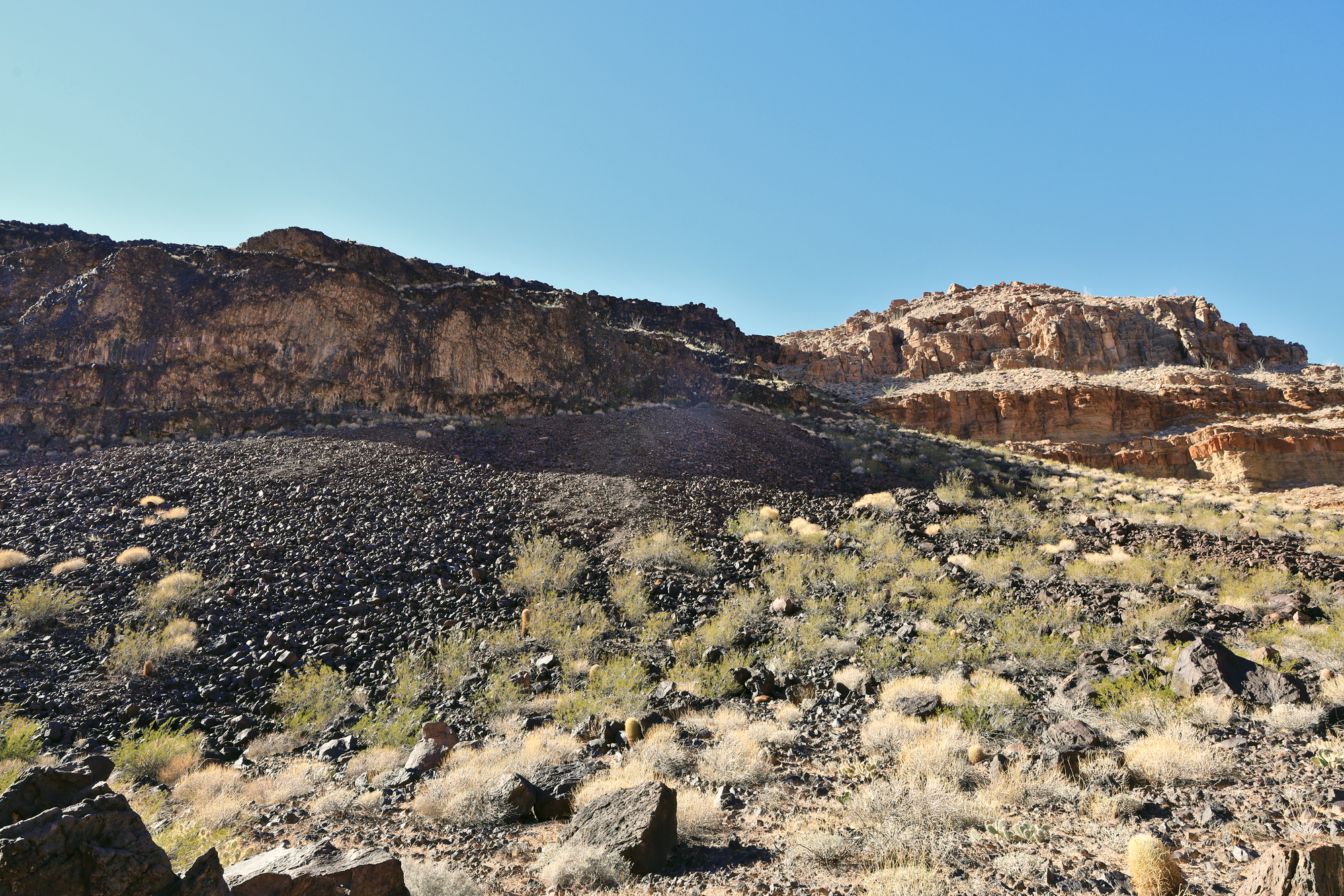
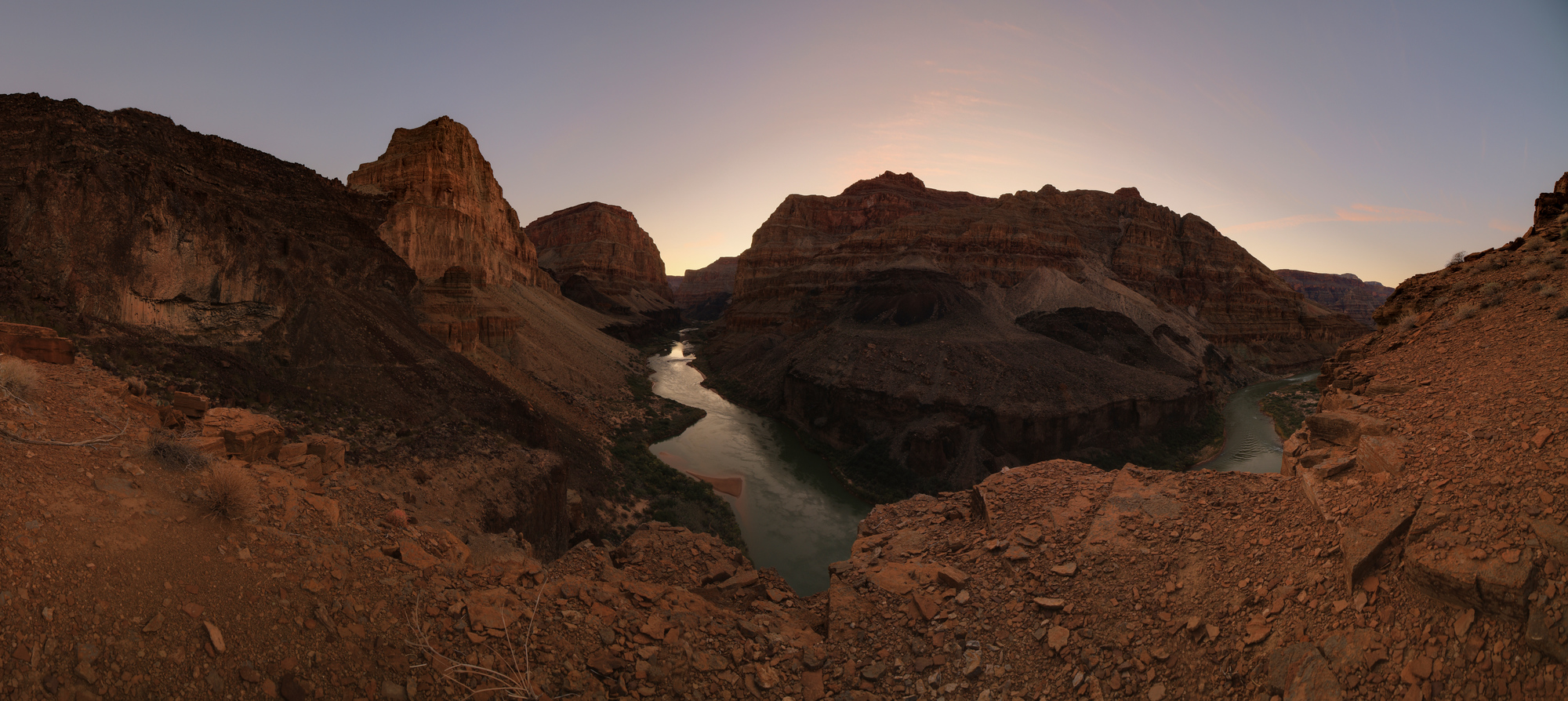
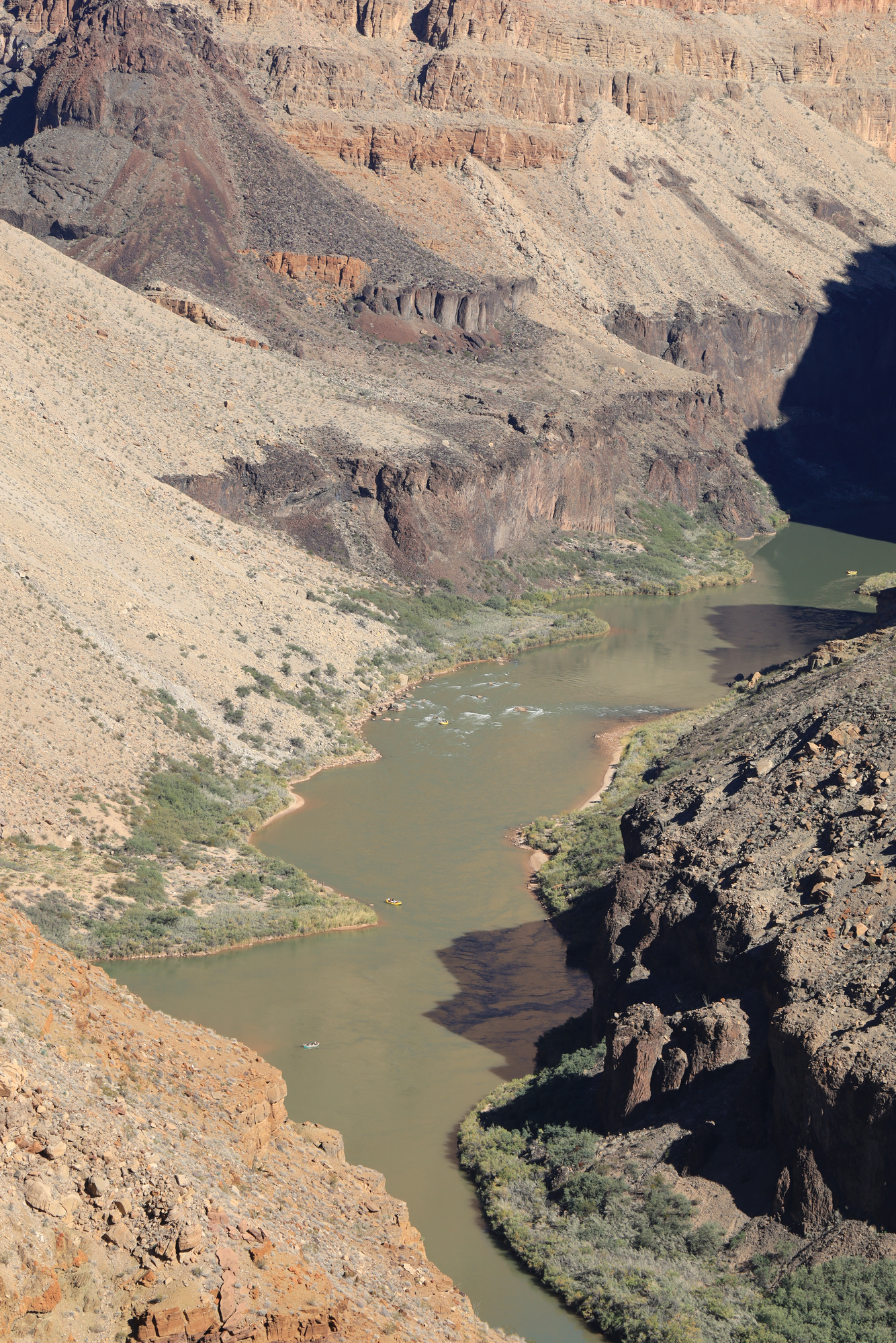
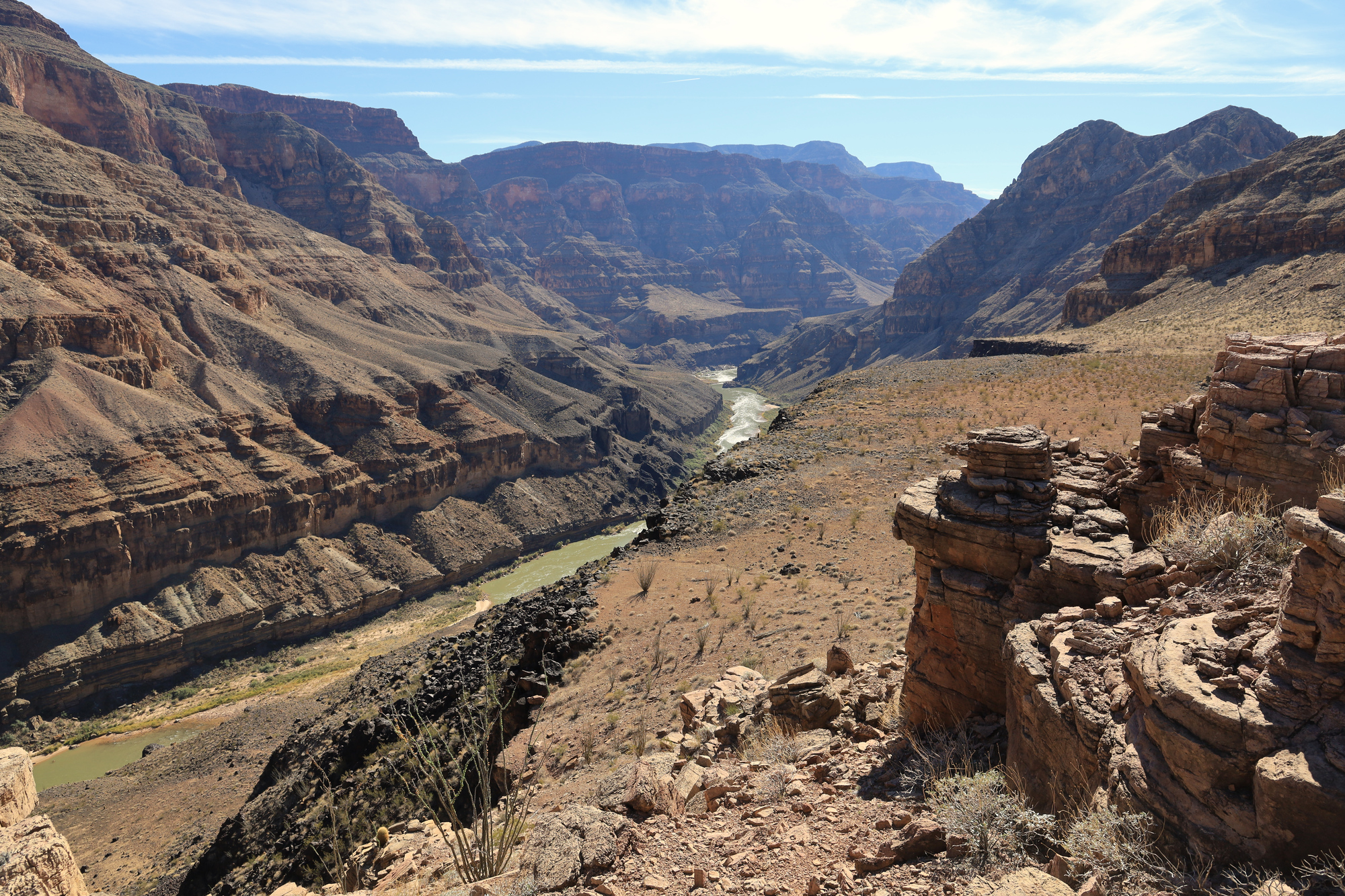
Once I had made it through the first band of cliffs the going got much easier. The terrain flattened out and I was able to quickly make my way up to the first point of rock that I had seen from camp. This point is right at the mouth of the canyon, and had an impressive view of the river, the Canyon, and the next layer of cliffs that had appeared above me.
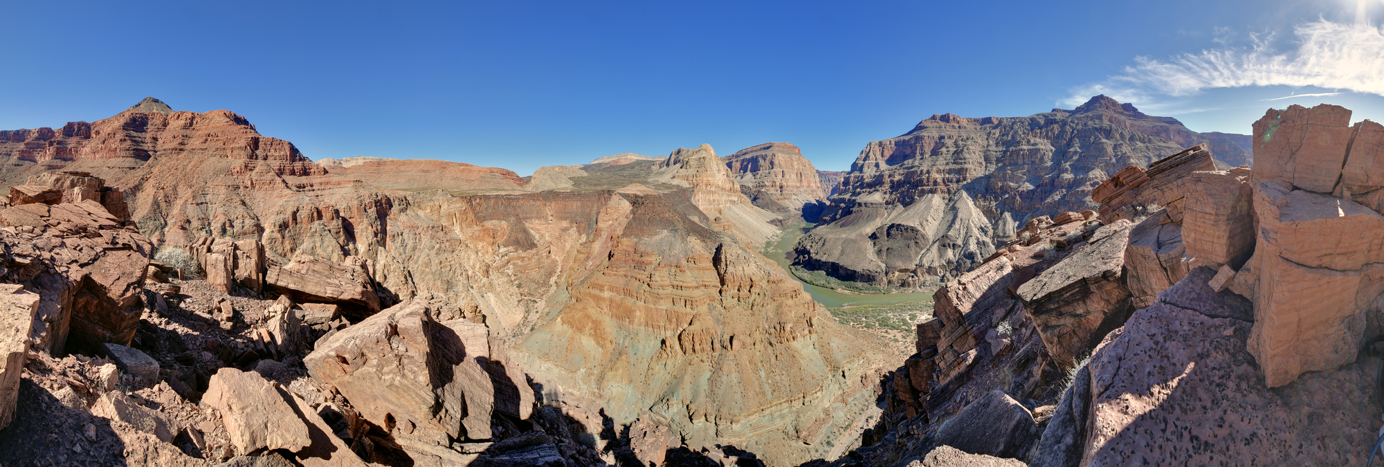
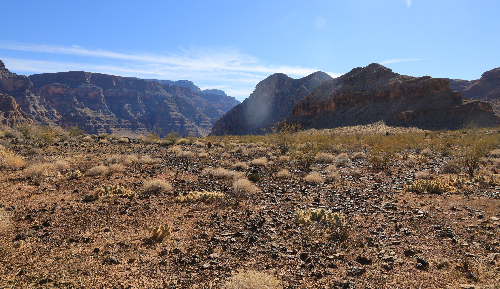
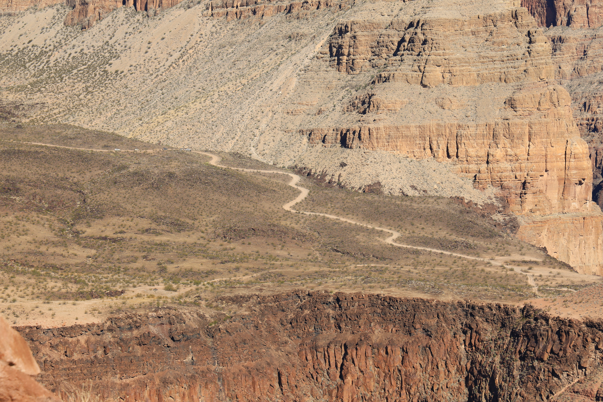
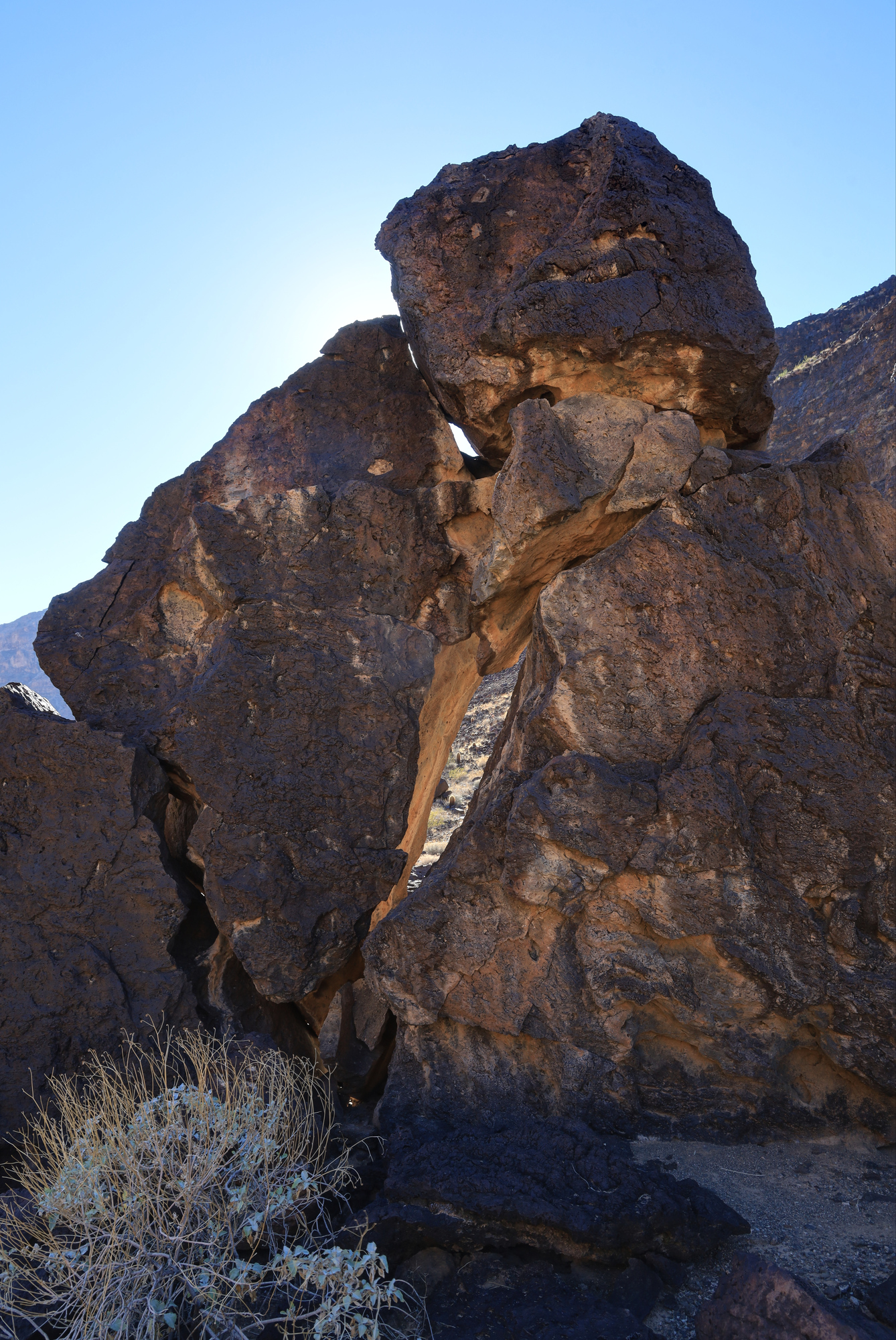
After relaxing at this point for a while I continued up towards the next level. For a while my hopes were high and the going continued to be easier. I even spent a few minutes on a real trail! But soon enough it was back to scrambling straight up a hillside whose steepness only seemed to be limited by friction of the rocks and gravel that formed the hills. My weight shifted some rocks and boulders more than once through this section. I was very glad to have my hiking poles. I ended up stopping somewhere in the middle of the broken Redwall and took another moment to take in the view. As I was relaxing in the shade of a cliff I saw the most surprising thing of the day: A caravan of cars on the 4×4 in the distance. Someone else was having their own adventure to this incredible place, though in a very different way.
The route in the book continues uphill from here, but I didn’t want to push my luck with the rough terrain and the limits of my water supply. I headed back down towards camp. The descent went smoothly, with a couple stops for photos and water on the way back down. All told the hike was only 3.6 miles, but it took me over 4 hours. Still, it was well worth the trip.
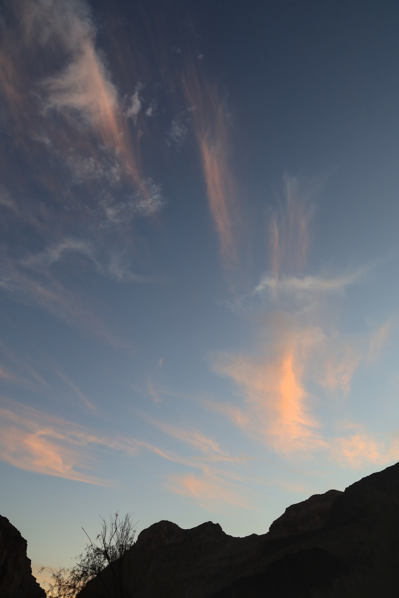
Once back at camp I had some time to go for a swim, take my second bath in two days, and relax on the sand. All told it was a wonderful day, capped off by a wonderful sunset. Next time though, I’ll take that guidebook with a little bigger grain of salt.

FOV: 14 x 20
Ev: 8.61")

FOV: 14 x 21
Ev: 8.97")

FOV: 17 x 25
Ev: 10.61")

FOV: 44 x 62
Ev: 4.32")

FOV: 71 x 51
Ev: 14.24")

FOV: 71 x 51
Ev: 14.30")
Taken 11/5/21