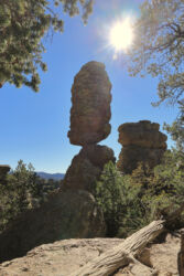
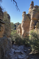
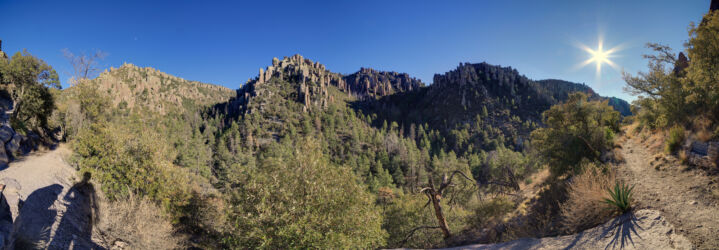
The main reason we traveled out to Arizona at this time was to get a chance to spend some time with my parents. Given the airline travel and our quarantine requirements, we were keen to find as many ways as we could to spend time together in a safe way. One idea that immediately got traction was a camping trip to Chiricahua National Monument. It has been a recent favorite for my parents, and high on my list as well. I took a couple of days off of work and drove down to the mountains to set up camp.
The drive out was only a few hours, and took me through a range of classic Arizona scenery, with mountains separated by large dry valleys. After arriving at the mountains I found a back country camp site in the national forest and set up camp to wait for my parents to arrive. Though I ended up being more complicated than expected to find, we eventually met up, had dinner and relaxed by the camp fire to make plans for the next day.
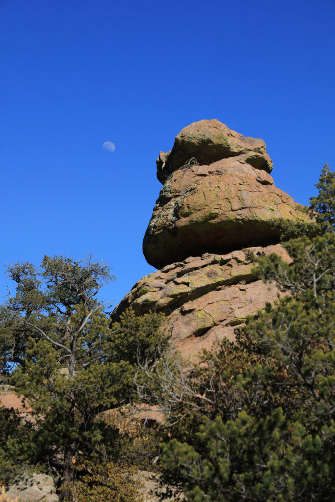
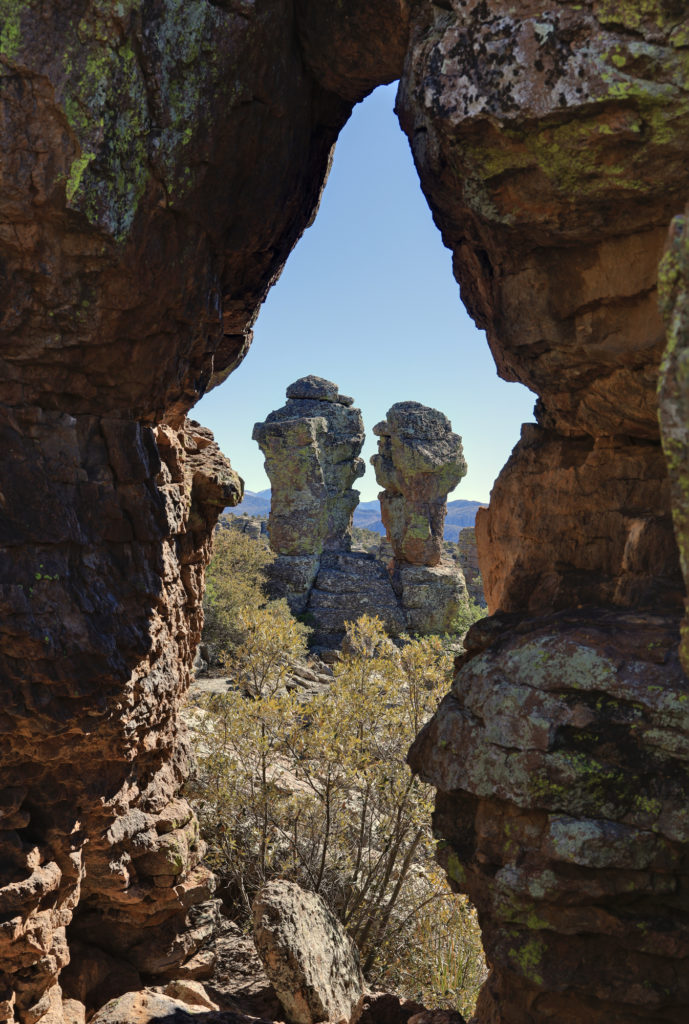
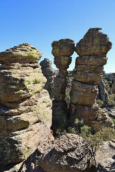
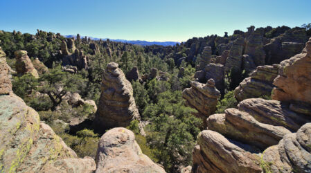
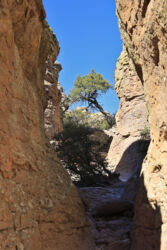
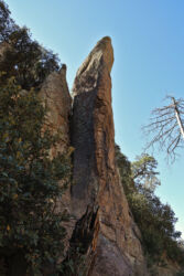
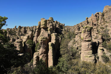
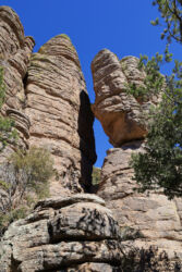
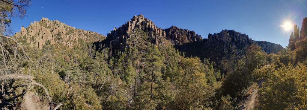
The next morning my dad and I headed up into the park to go for a nice long hike through the hoodoos. Our goal was to do a long loop to the Heart Of Rocks loop. From everything we had heard and from my parent’s previous experience this part of the park had the best views of the rock formation. We started off at the Massai Point trail head and hiked out along the Echo Canyon Trail. It did not take long for me to be impressed by this landscape. As we started to descend into the canyon the hoodoos rose all around us. They came in a wide variety of shapes and sizes. It was all reminiscent of more famous destinations like Bryce Canyon, but without all the crowds.

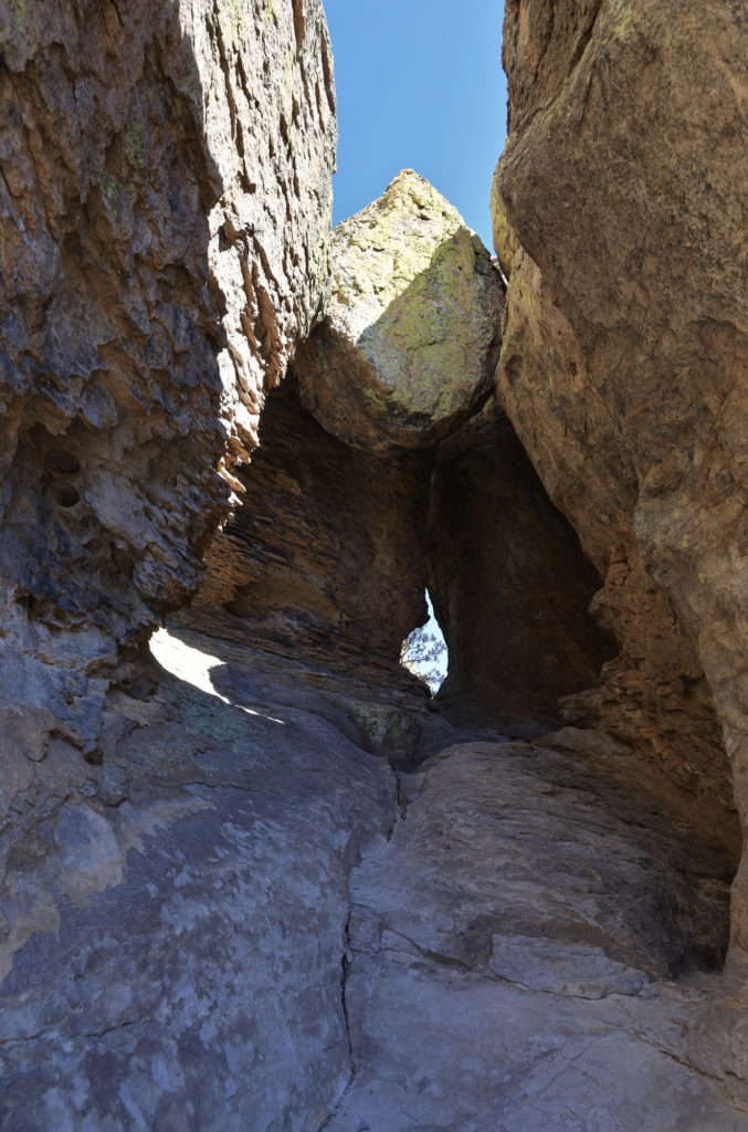
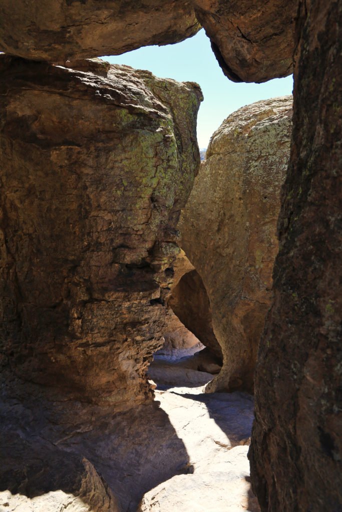
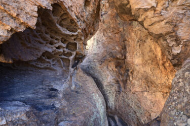
The trail had more than just views of hoodoos though. Right off the bat you are treated to a formation called the Grotto, which consists of a number of stone arches, and boulders stuck between the hoodoos forming a system of small caves. The trail goes right past the Grotto, so its easy to climb around in the middle of it exploring the different passages. By the time we made it down into the main descent it was clear that this would be a spectacular hike.
After descending to the bottom of the canyon the trail flattened out a bit and we started traversing across the valley to the Sarah Deming Trail. It was a long gradual descent, followed by a long gradual ascent up the other side as we made our way over to the Heart of Rocks. This portion of the trail was still very pretty, though in a different way. There were far more trees and undergrowth. It felt more alpine, even though we were lower than when we started.

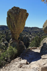
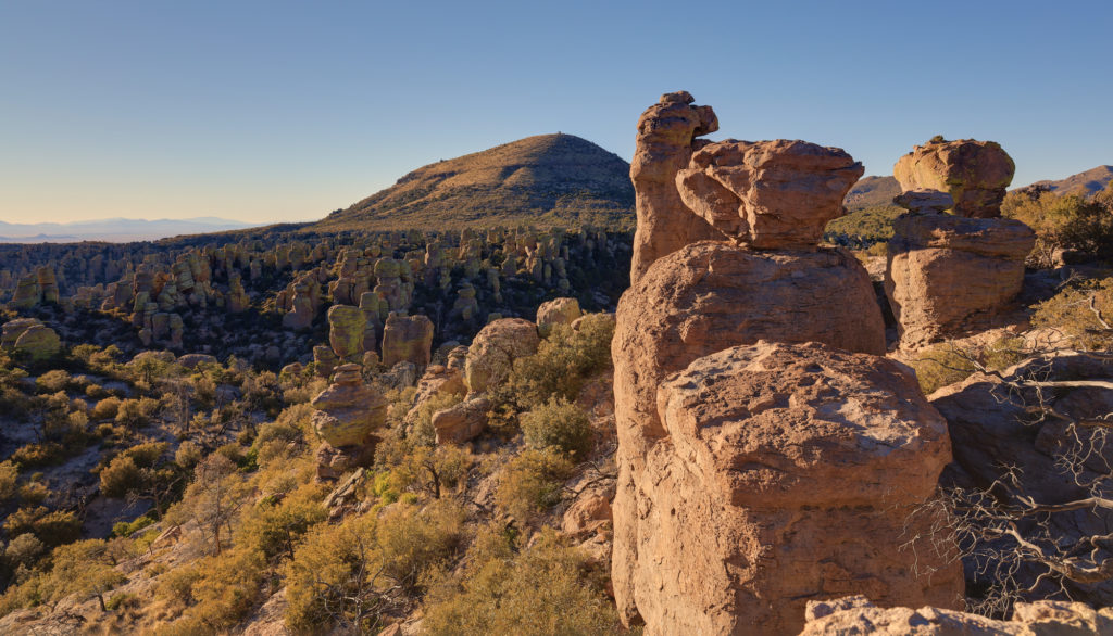
We soon arrived at the Heart of Rocks loop and took a short break for some water and a snack. This is clearly a popular destination, and we quickly started seeing many more people than we had earlier on our hike. We made our way slowly around the loop taking in the many different rock formations, many of which had names (though some were more clever than others). Though it is a short loop, it’s packed with hoodoos of various shapes and sizes, and is definitely a sight to see.
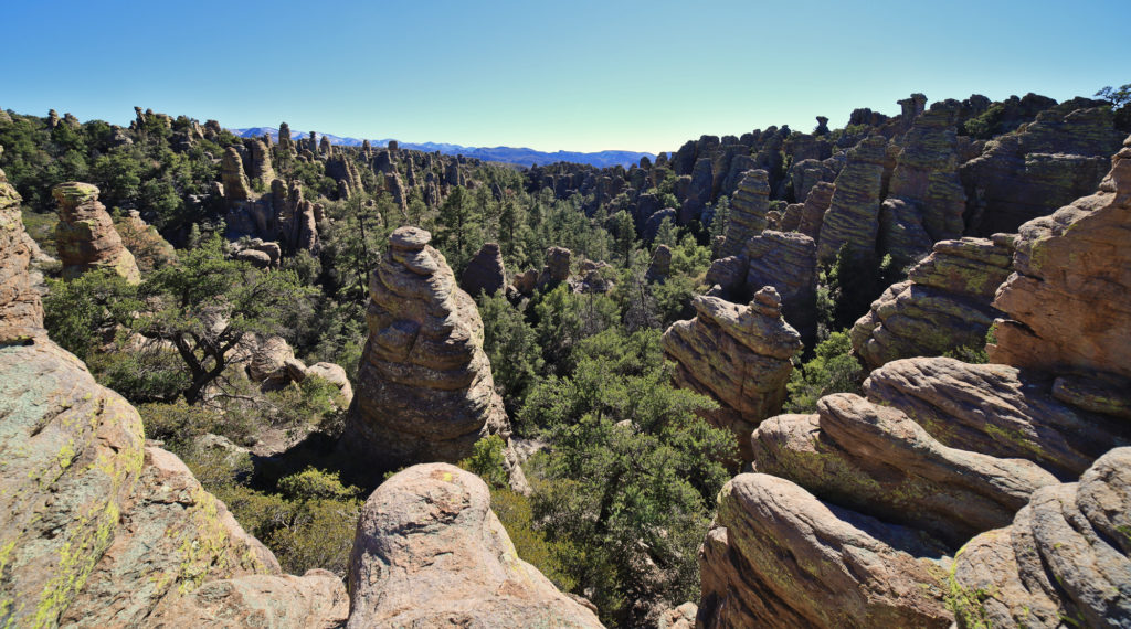
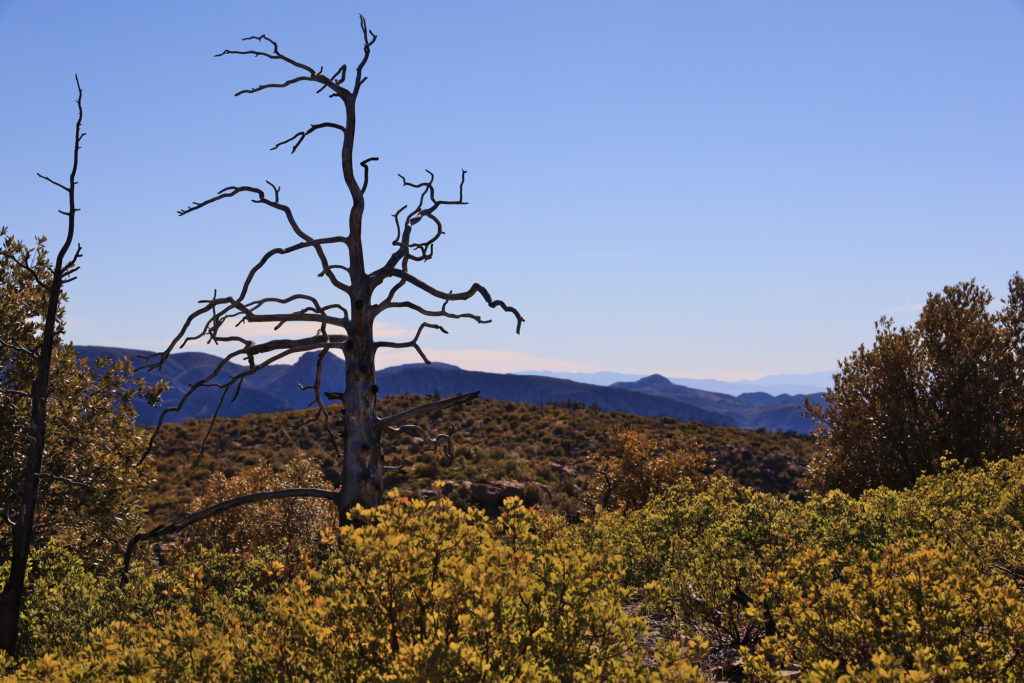
From there it was up along the ridge towards the trailhead. As we made our way back up we passed through areas where a fire burned in 2011. The difference between this area of the park and the canyon below was marked, with some areas nearly devoid of vegetation. As we continued up towards the trail head we started to see more large trees that had survived, but they stood among a number of blackened trunks as well. It was an interesting sight, that likely shows what the Catalina Mountains will look like in 10 years as they recover from the Bighorn Fire.
The last leg of the hike went quickly, and we soon arrived back at the cars. It was a fantastic introduction to Chiricahua National Monument.
Taken 2/22/21

