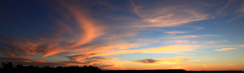
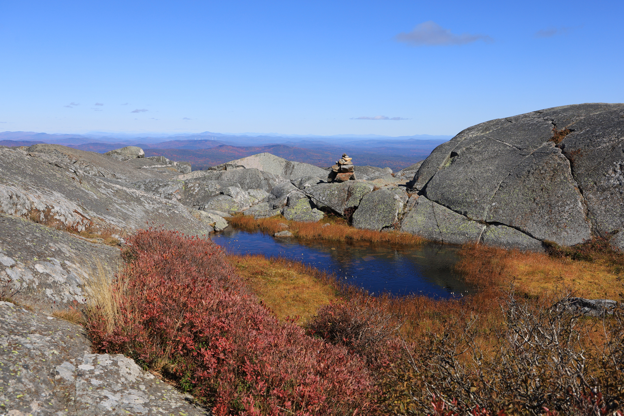
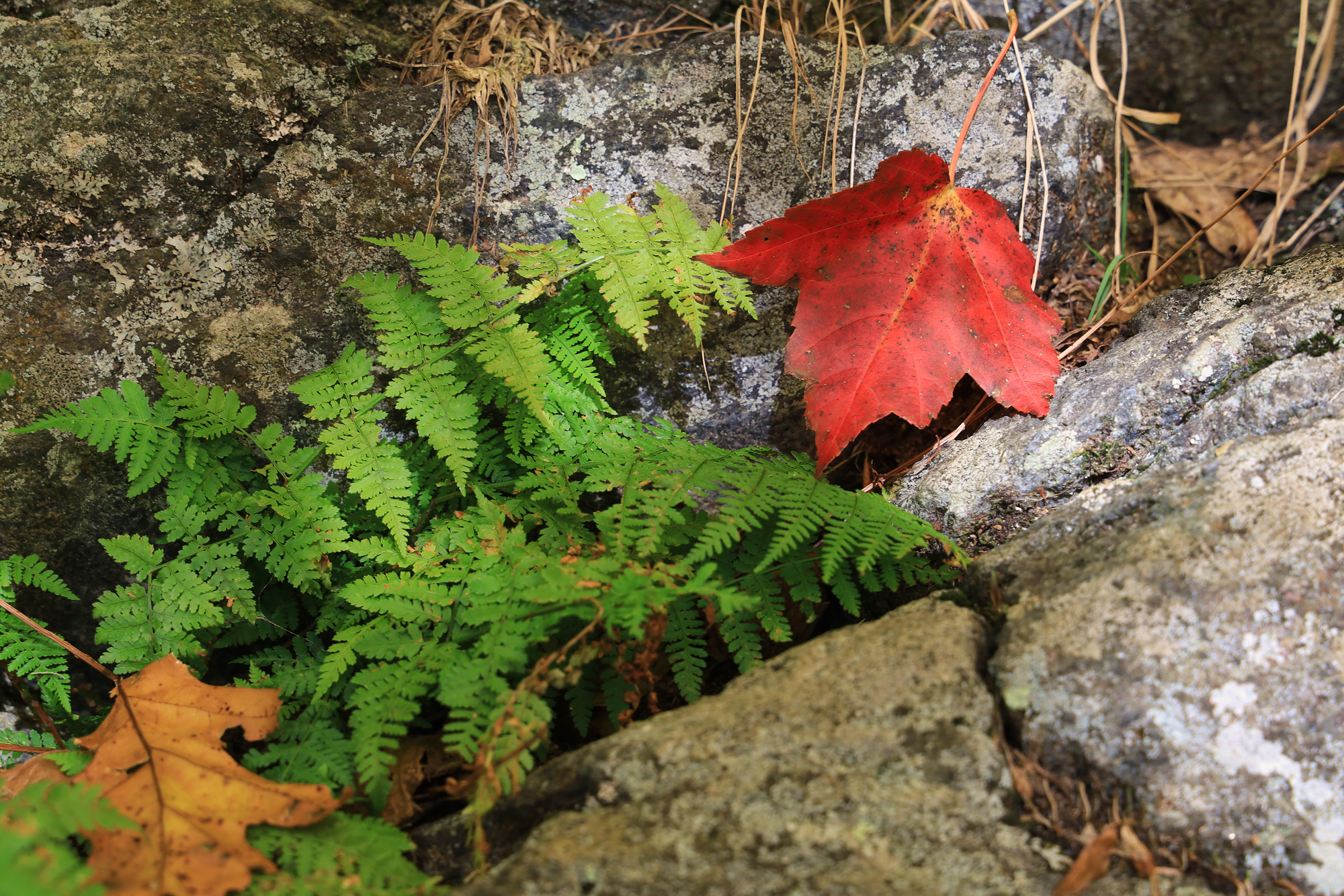
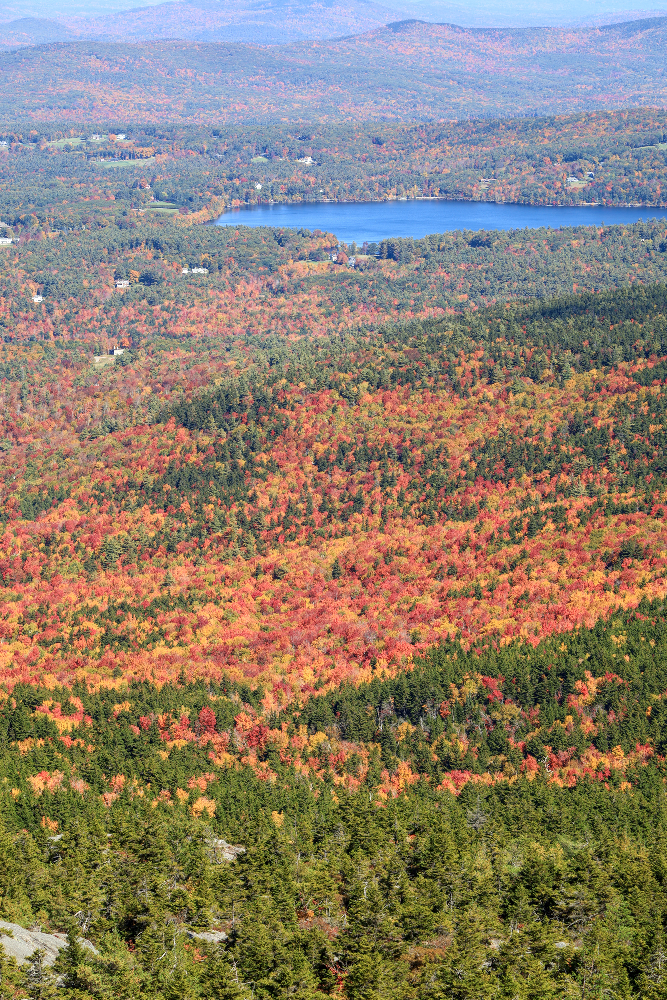
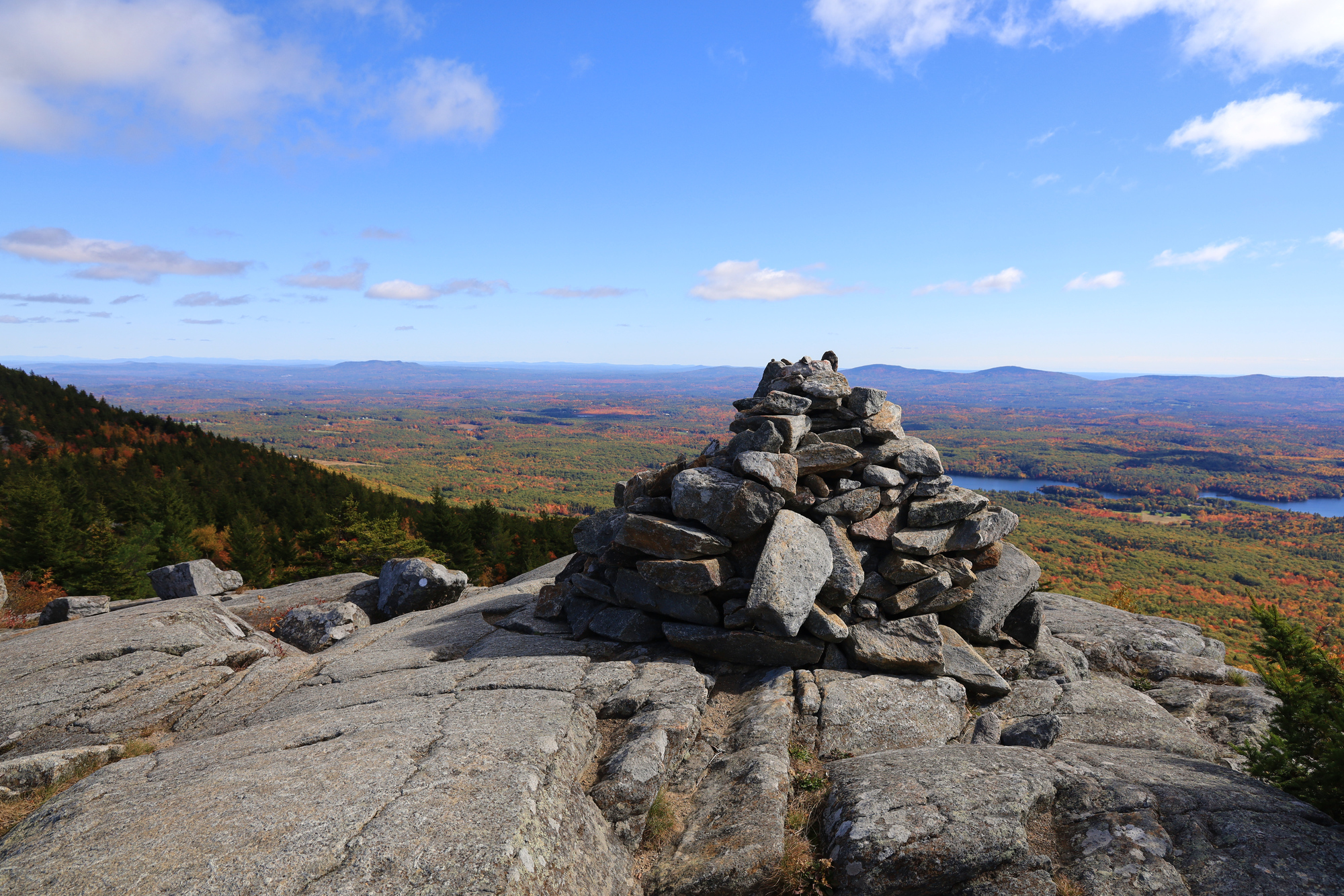
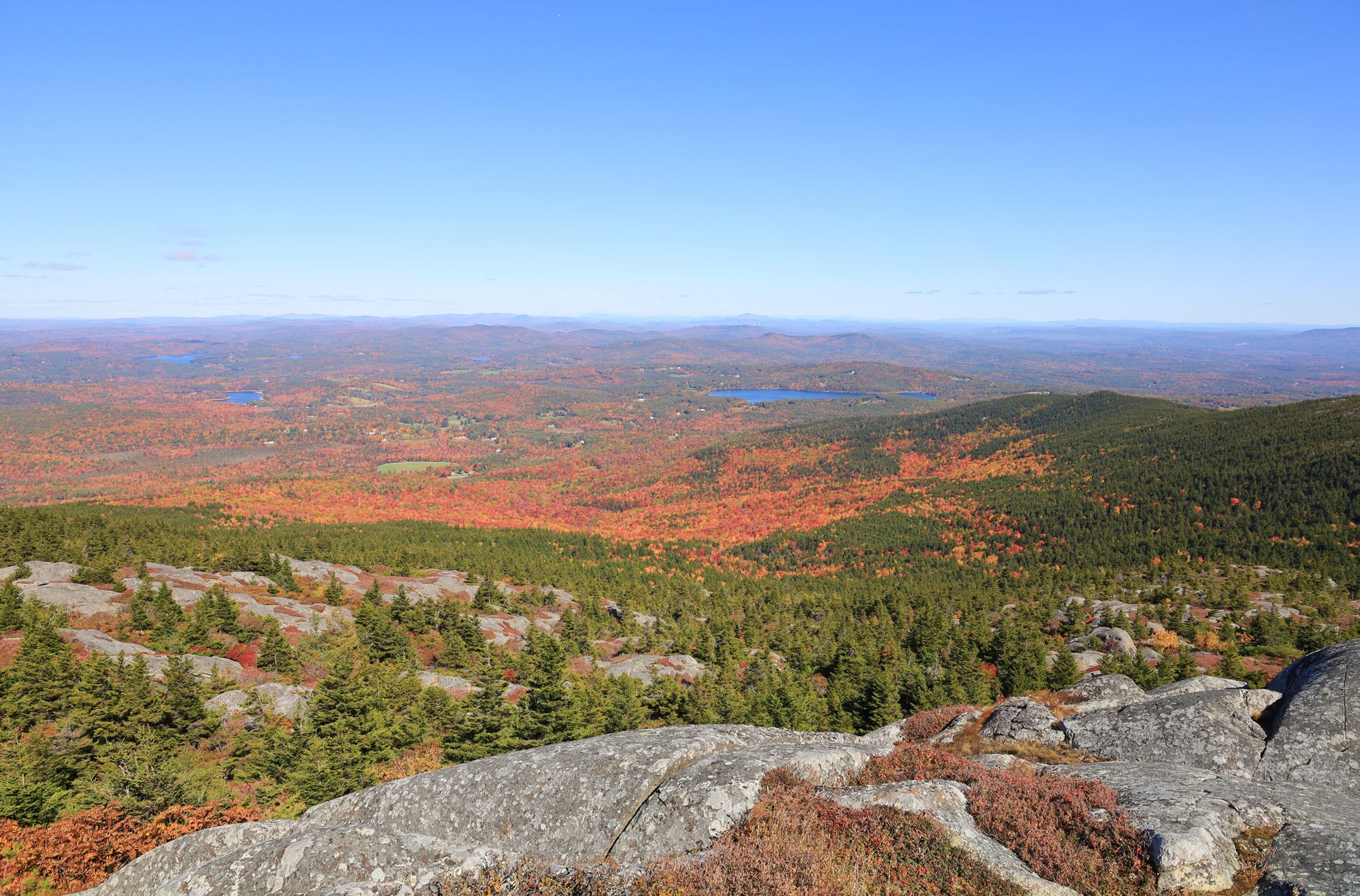
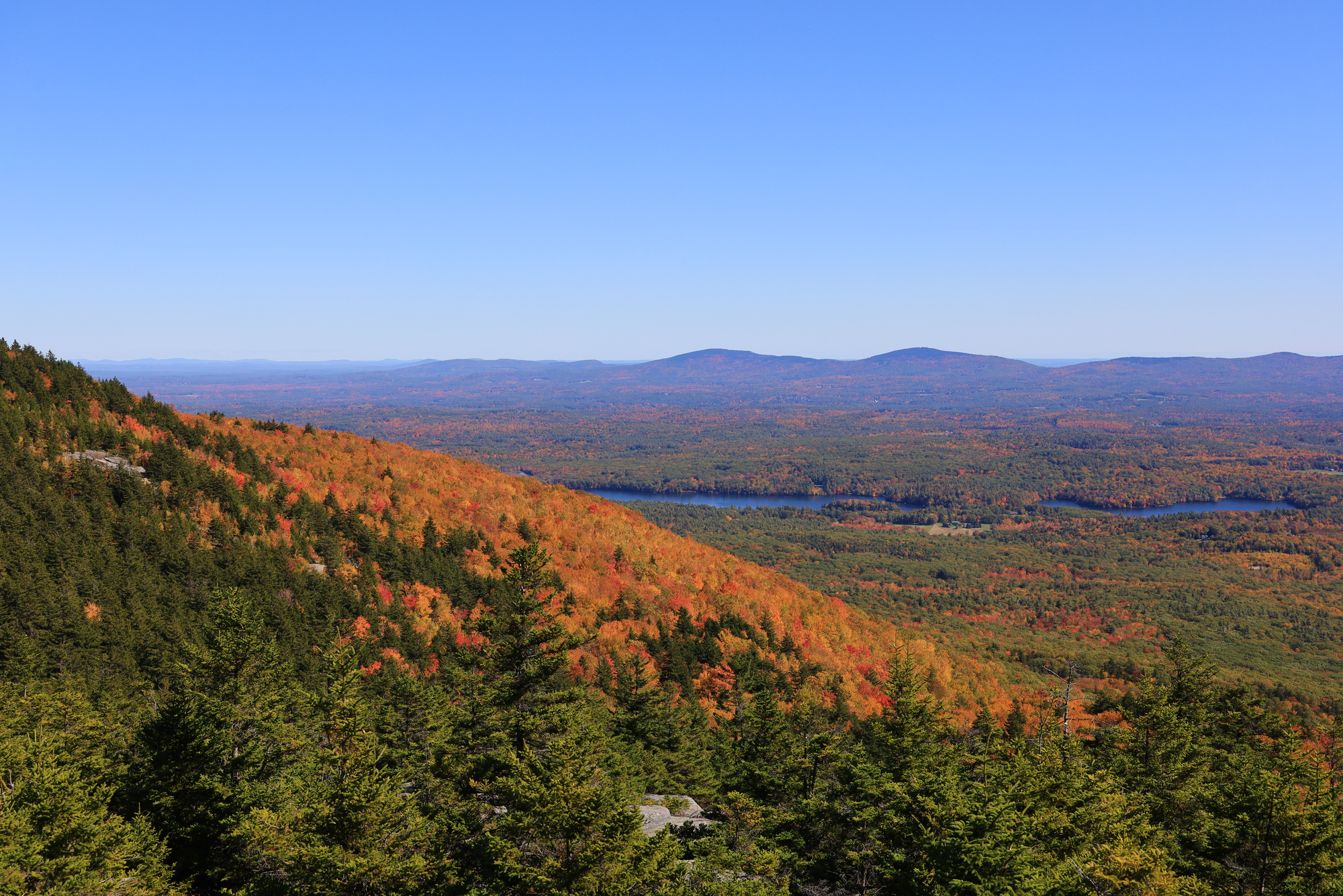
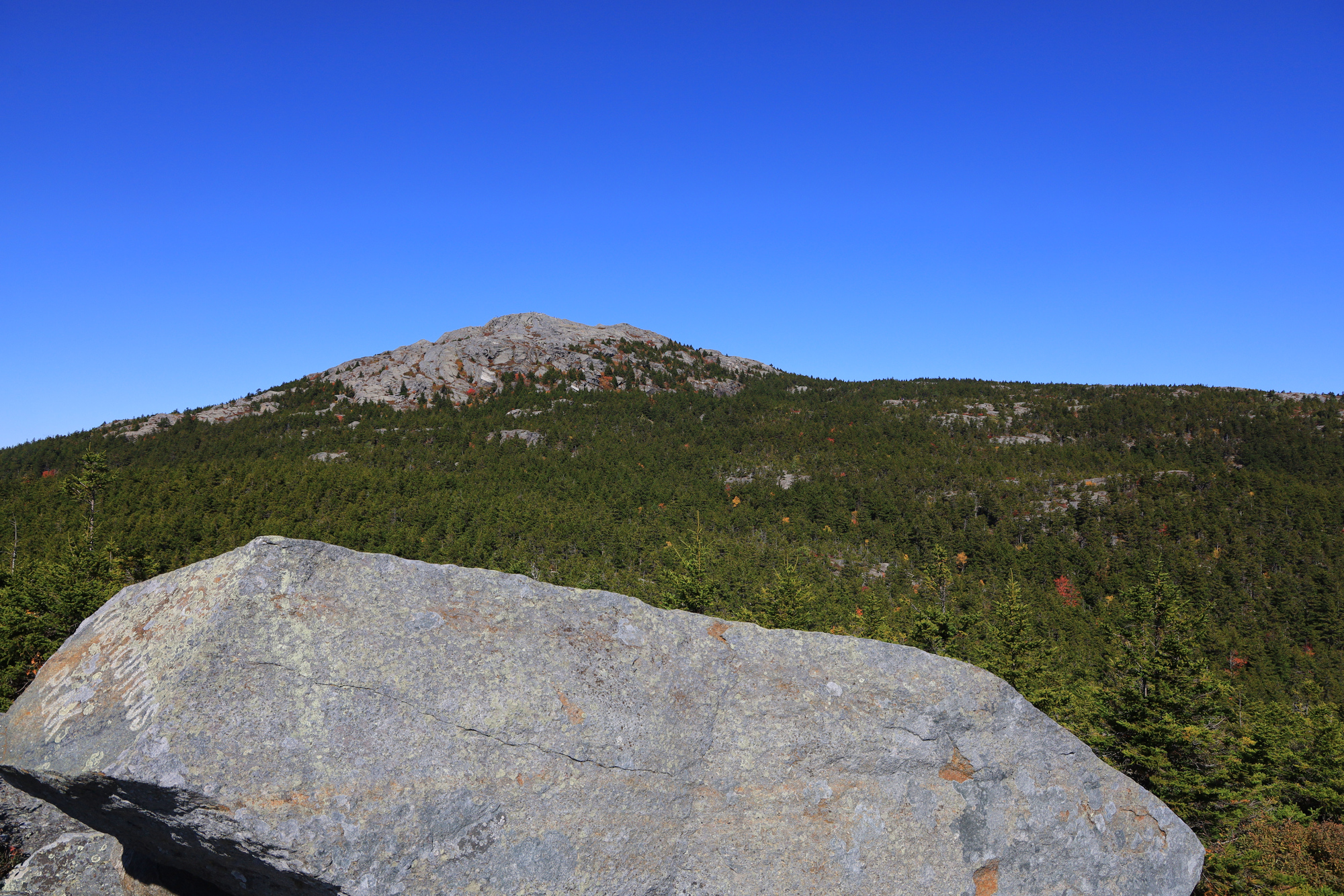
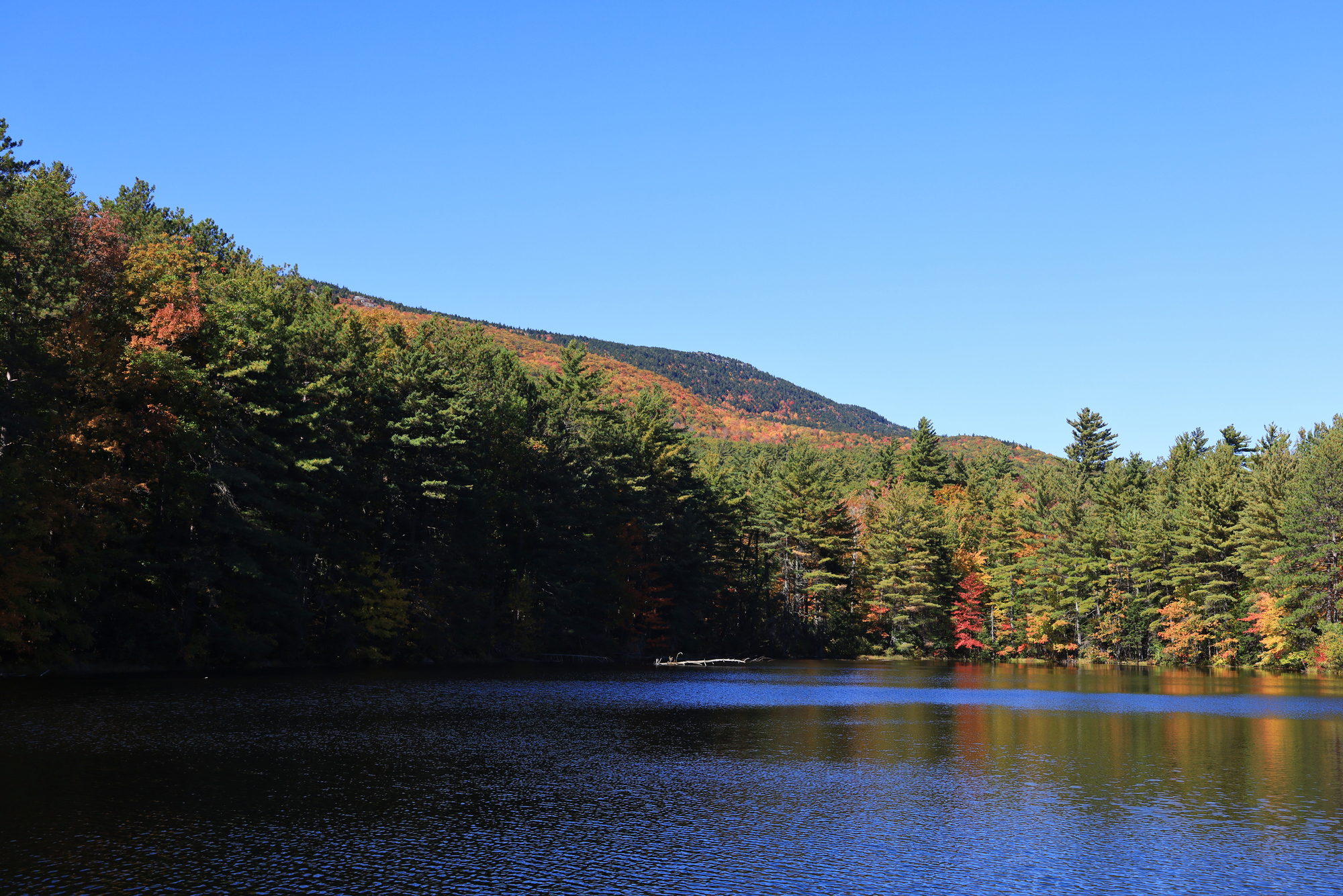
Today I have a timely update for the season, some gorgeous fall colors on Mt. Monadnock! I went for a very nice 6 mile hike there earlier this month in what must have been their peak leaf season. The hike and weather was excellent, the colors were stunning, and the views were amazing. I can’t recommend this one enough. Enjoy!
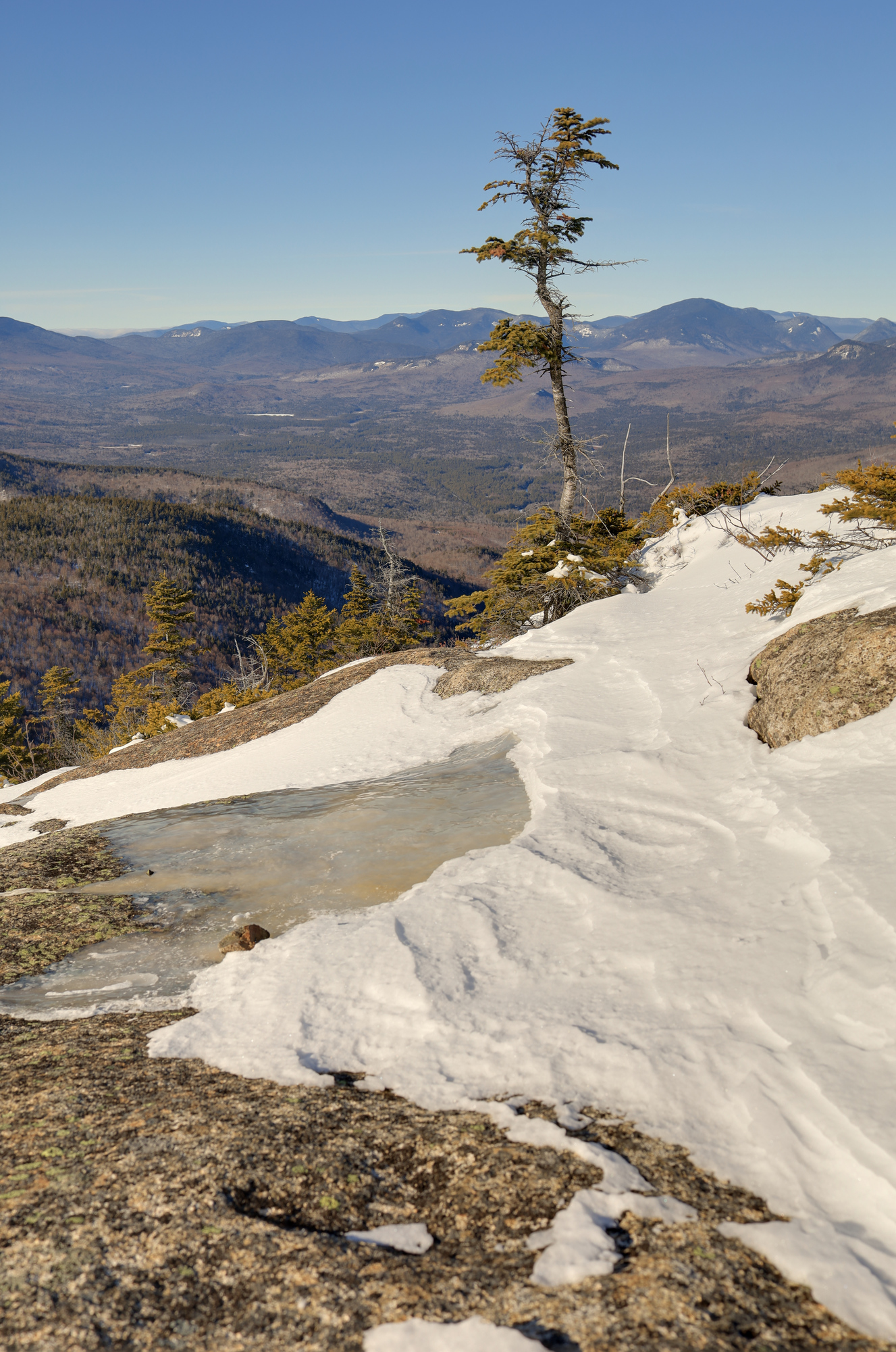
A high alpine pool near the summit
There was plenty of interest along the ground with the bright red maple leaves everywhere
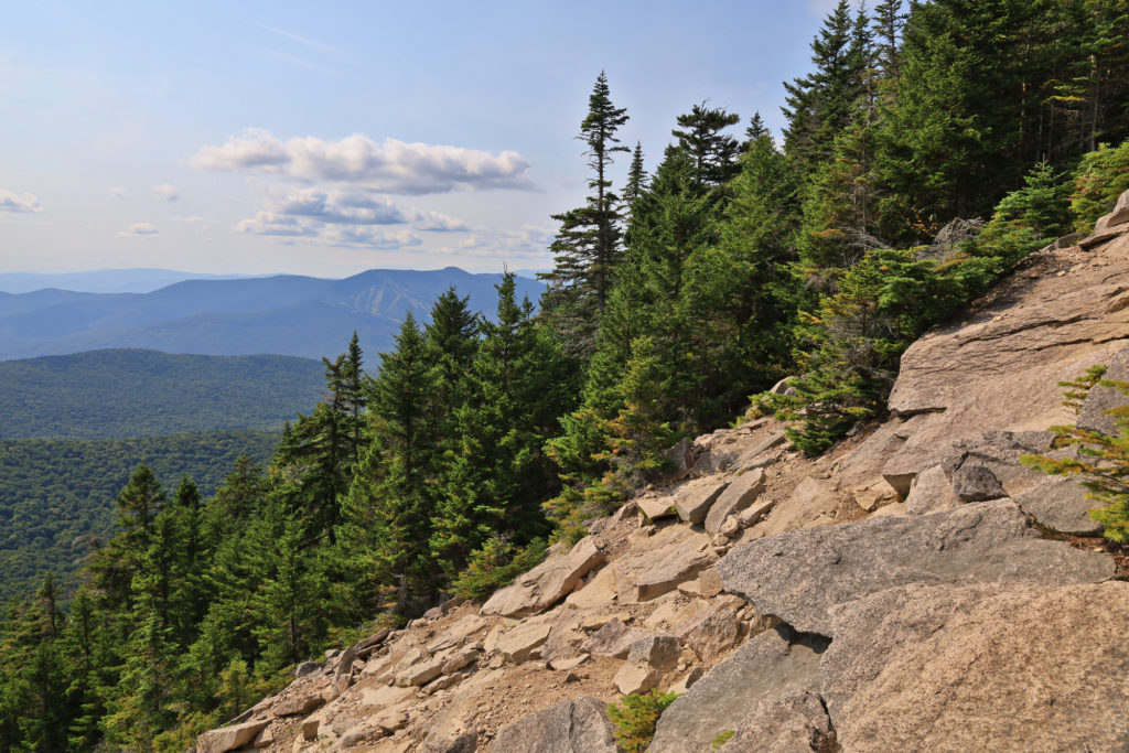
The colors looking down into the valleys were stunning. It gives a great perspective of the change from the high alpine pines to the lower elevation maples, birches, and oaks.
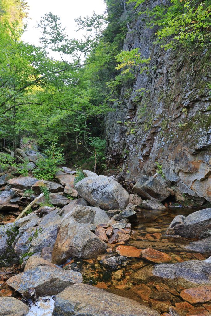
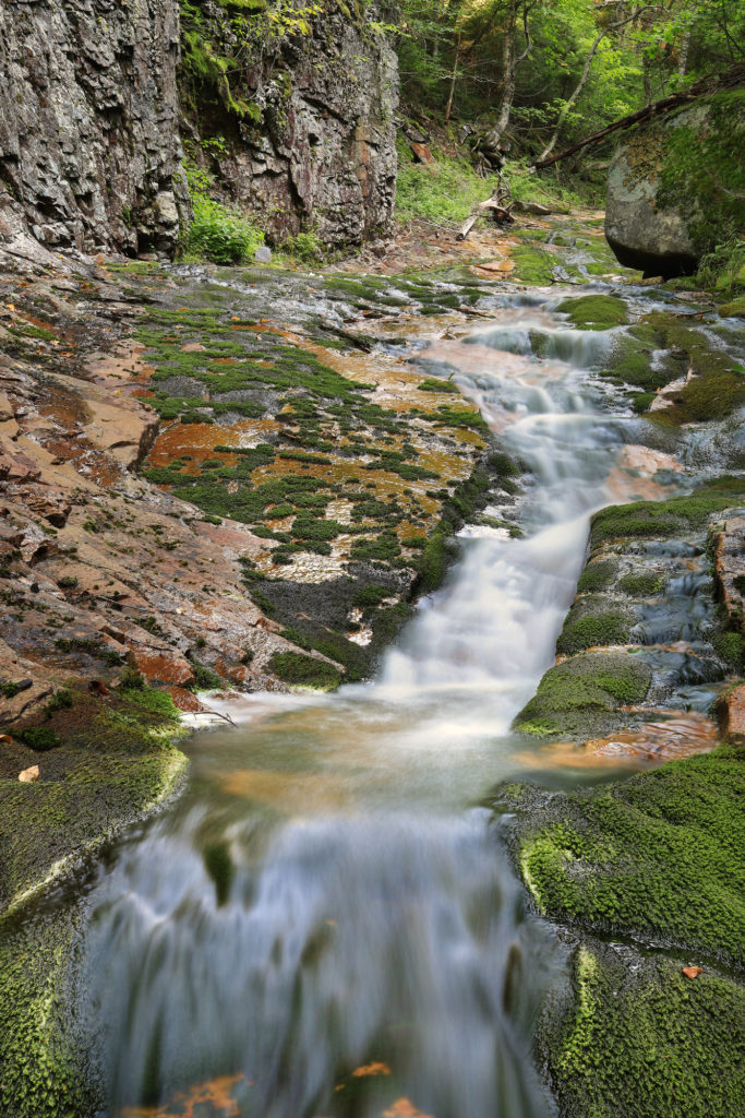
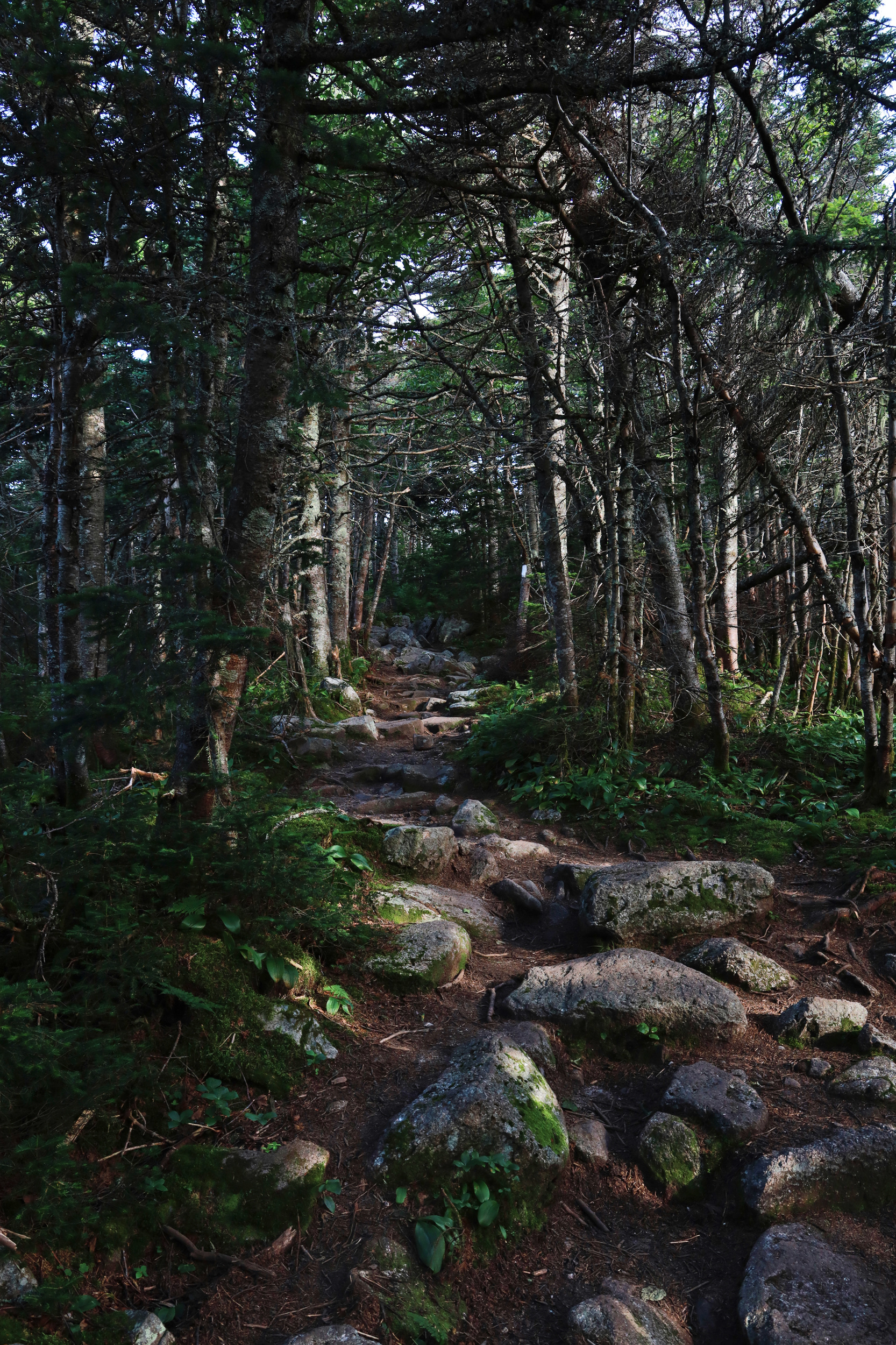
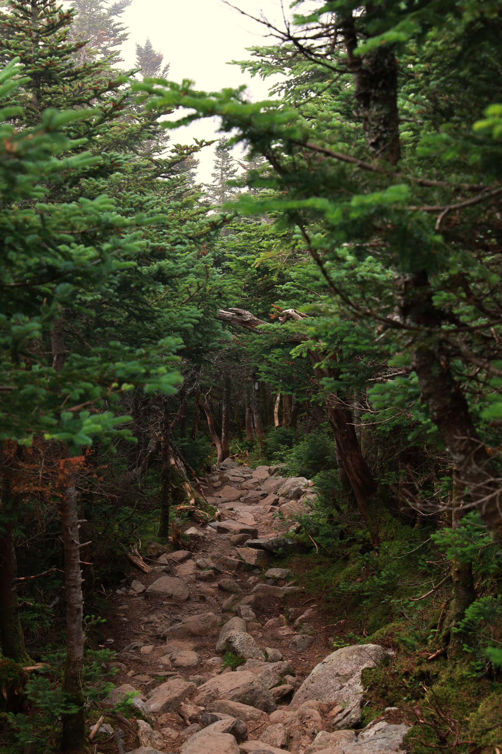
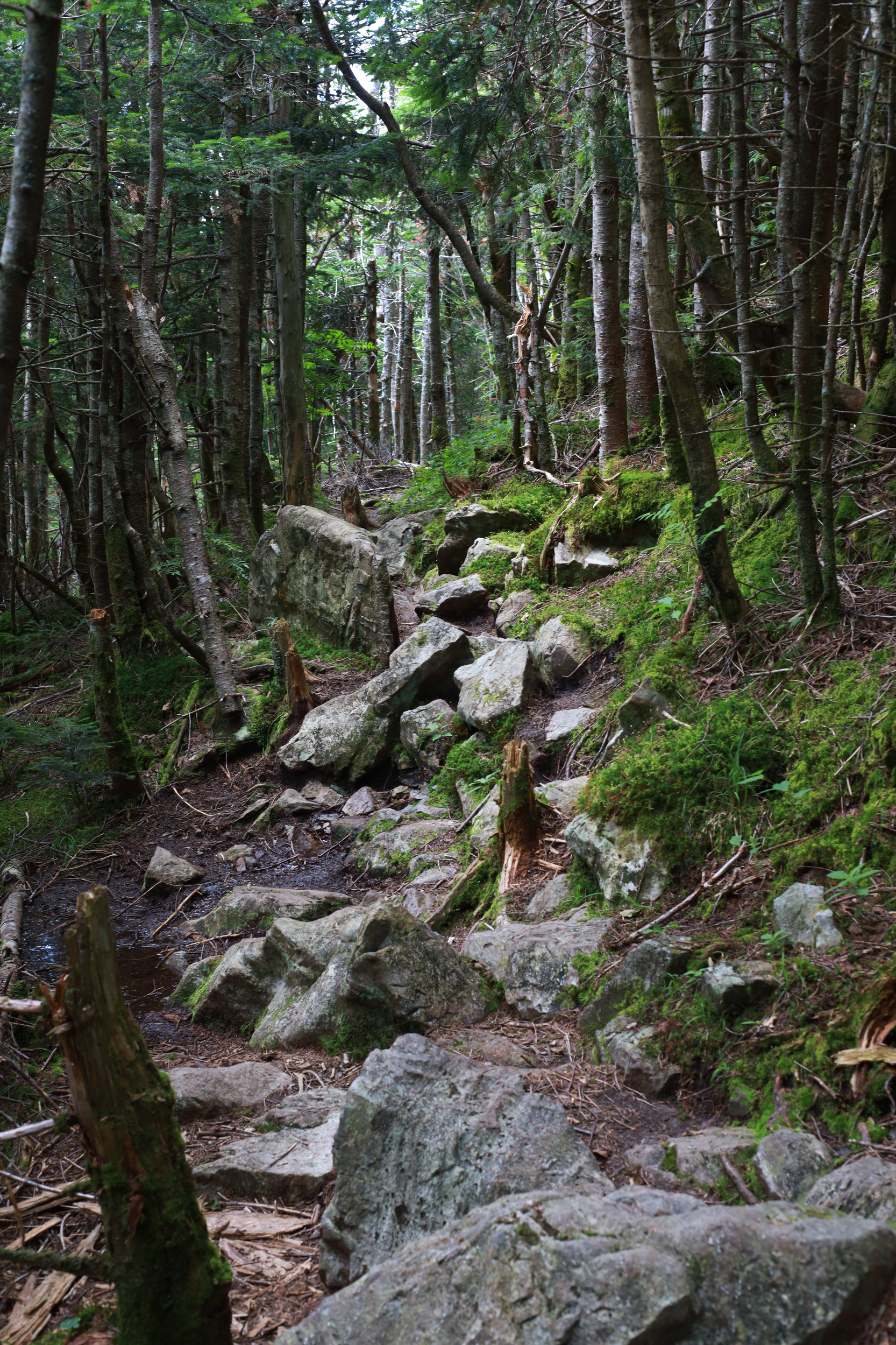
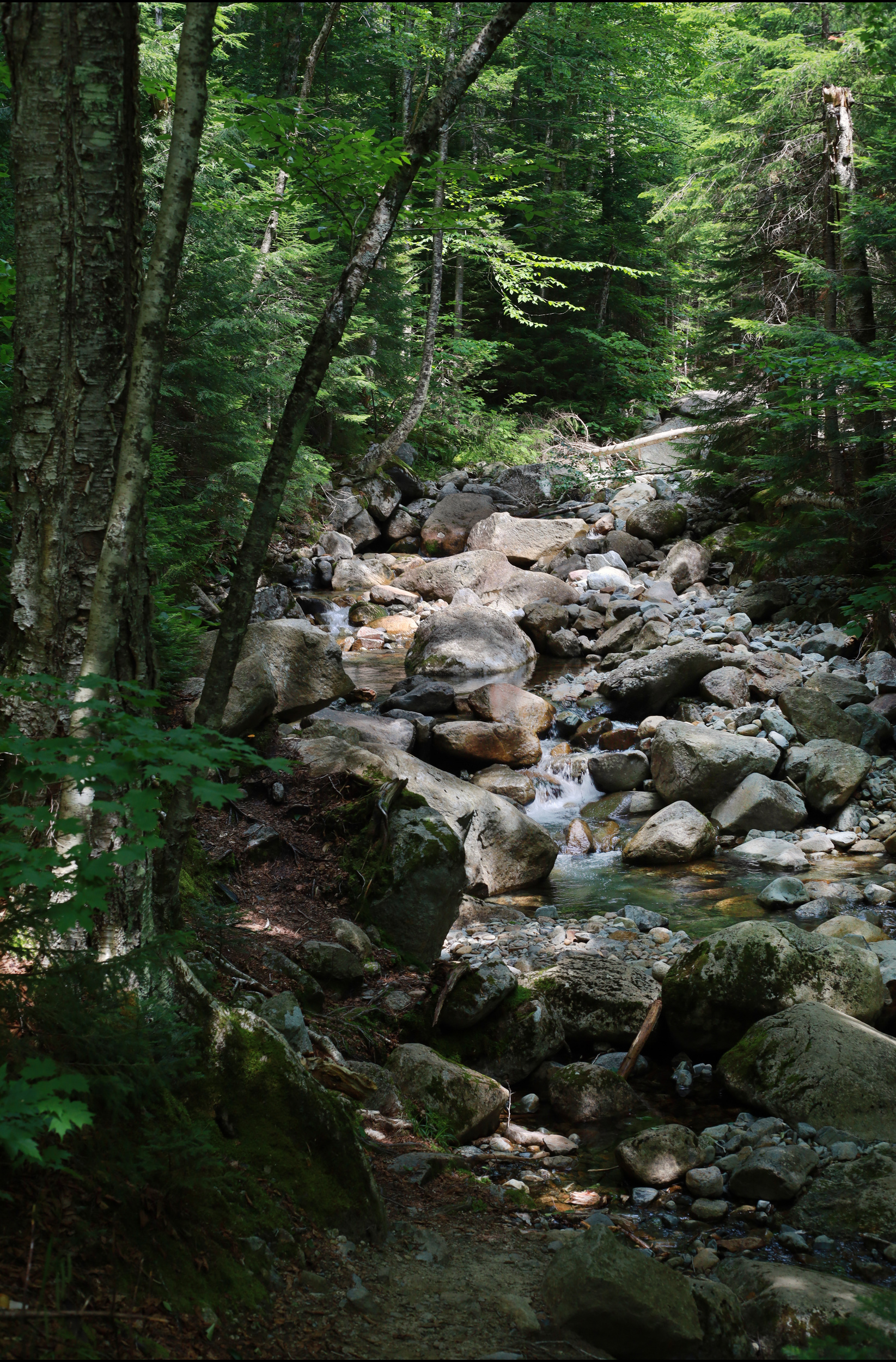
It’s definitely been a while since I added any new photos here, it’s been a busy summer. Don’t worry though, I’ve still been going on plenty of adventures and taking plenty of photos. Today I have one such adventure in the white mountains with my cousin. We started at the Livermore Trailhead and headed up towards the Scaur and Waterville Flume. The Scaur was a nice overlook, but was otherwise not too noteworthy. The flume on the other hand was a little more unique. We hiked to the bottom of it and spent a few minutes poking around the stream and the little chasm it passes through.
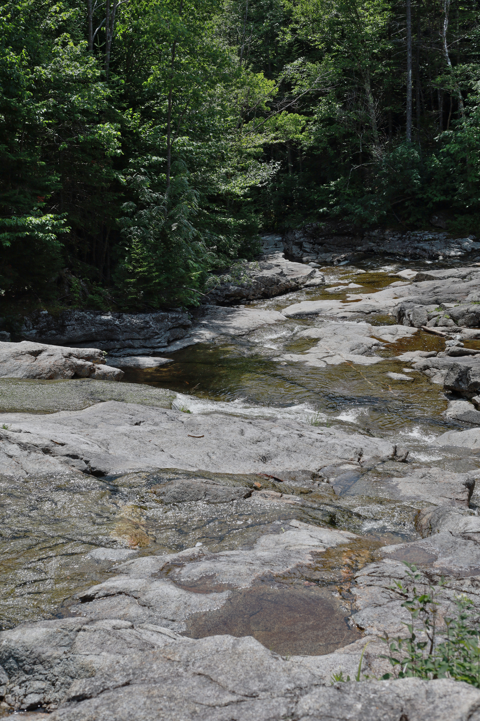
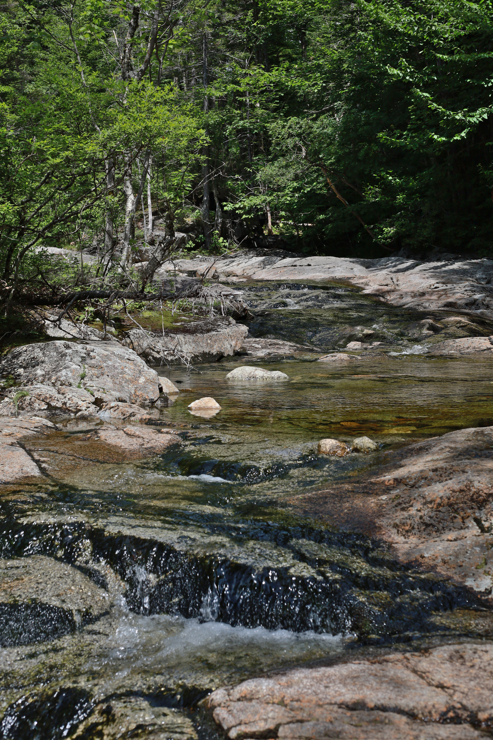
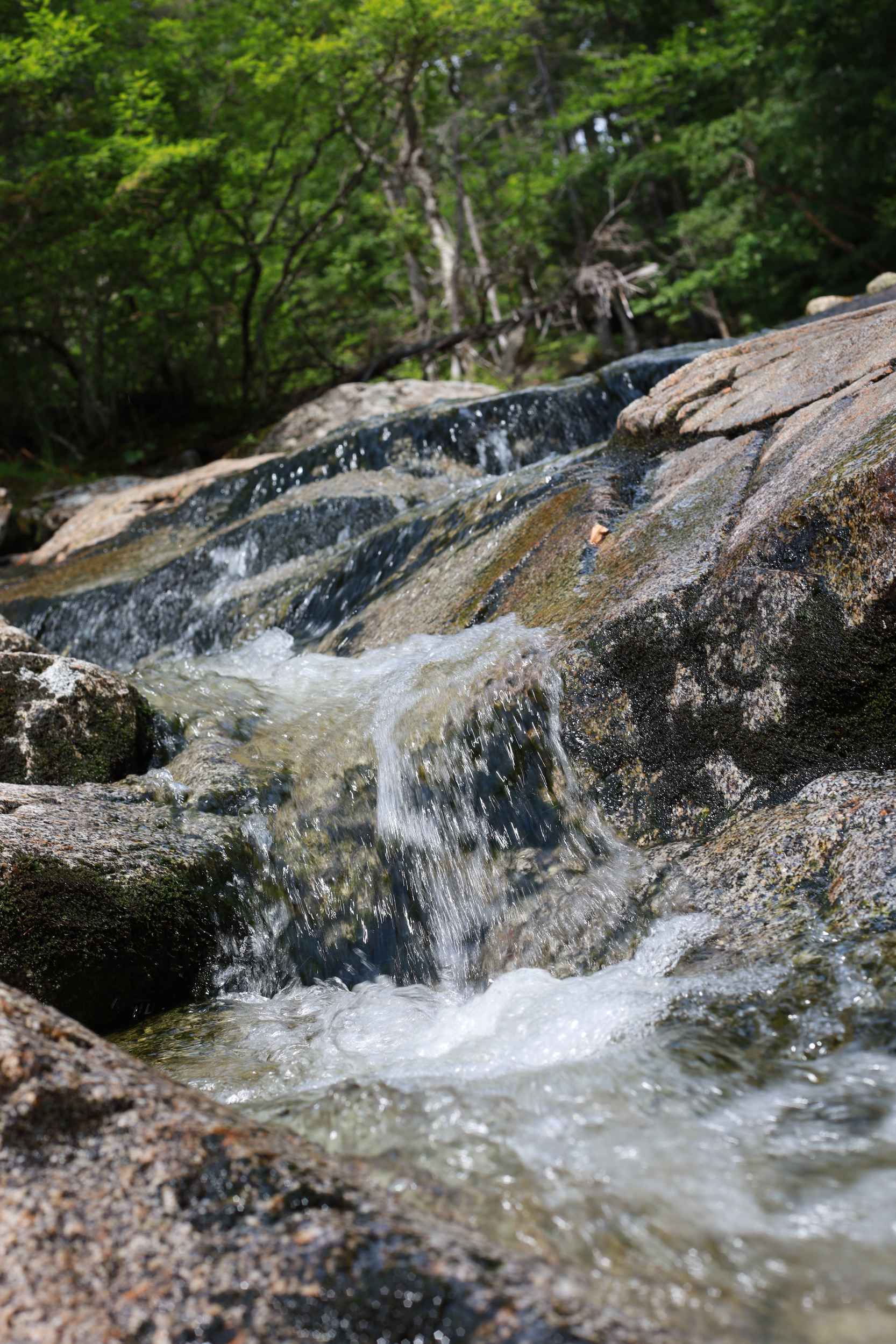
The bottom of the Waterville Flume, our first stop of the day
There wasn’t too much water coming down the flume, but it was definitely pretty
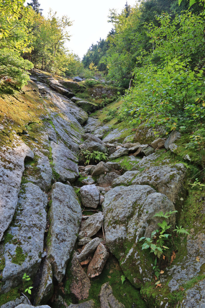
We were still feeling pretty fresh, so we soon headed out and up towards the day’s main event: Mt. Tripyramid. The approach is simple enough, but the trail quickly starts ascending up a creek bed that slowly becomes an open slide. This section of the trail is extremely steep. (1500′ in 0.7 miles) It quickly became scramble on all fours, and did not let up much until just before the summit. On the plus side, the views are spectacular the whole way up. We had plenty of time to take it all in as we picked our way up and stopped to catch our breath.
The beginning of the north slide. It’s hard to appreciate the steepness of this from the photos, but
Nearing the top of the slide
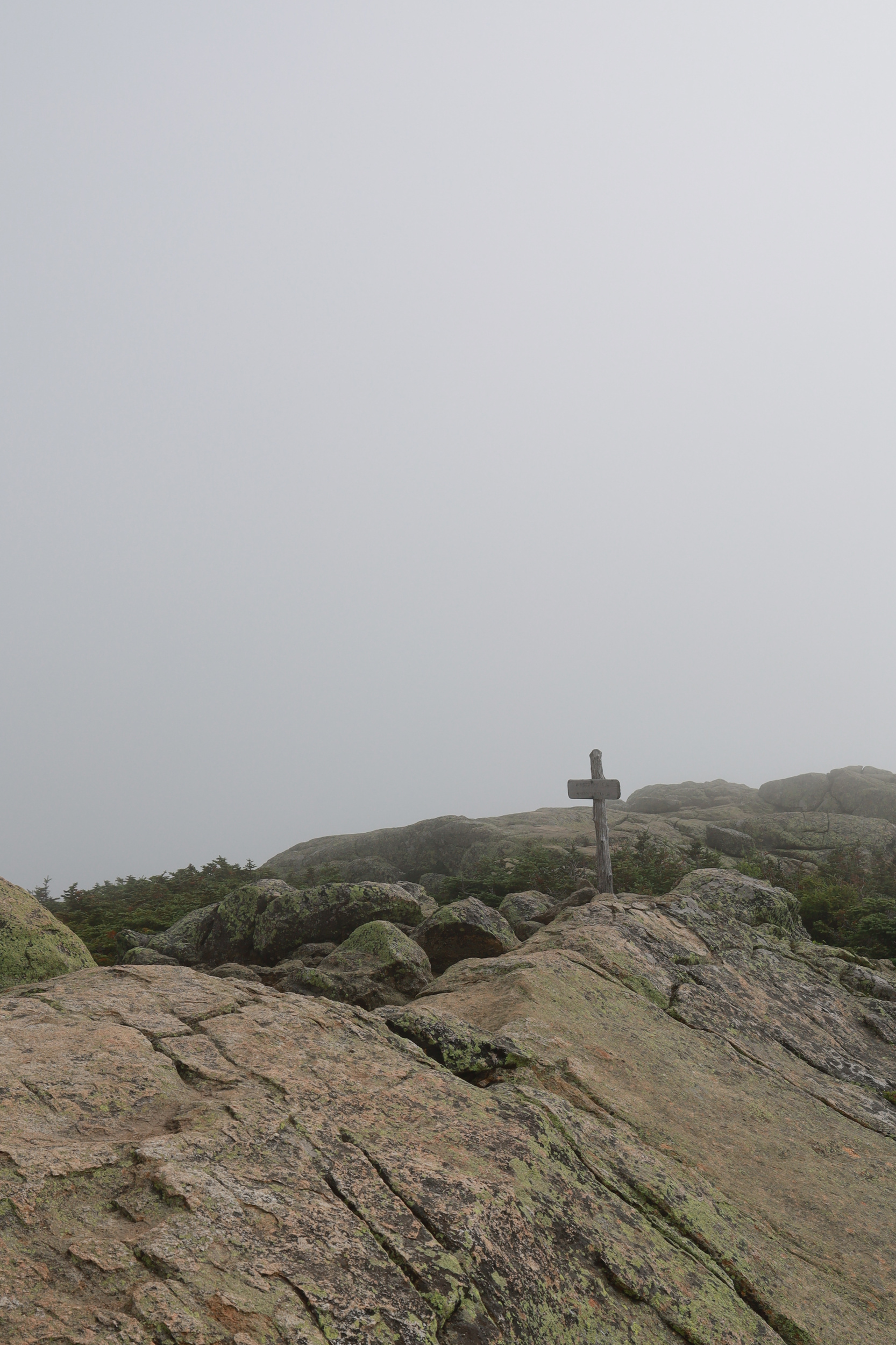
This is one of the most impressive trails I have ever done in the whites. It really is something that has to be experienced. Once we cleared the top of the slide and finished off the last of the elevation and arrived at the summit of North Tripyramid. From there we continued south along the ridge to the middle and south peaks as well. It’s a good thing the views from the climb were so good, because the summits were nothing to get excited about. They were all covered in trees and offered virtually no views. Once past south peak though the fun began again, with the descent down the south slide.
The view from the top of the south slide
This slide was about the same steepness as the one we came up, but was tighter and had more gravel along the way. Fortunately it was also more boulder covered, so we made steady progress back down. From there it was a long but uneventful hike back out to the car. All in all, I really enjoyed this hike. It’s a great example of going on a hike “for the journey.” Totally worth the trip, but doesn’t have much of a “destination” either.
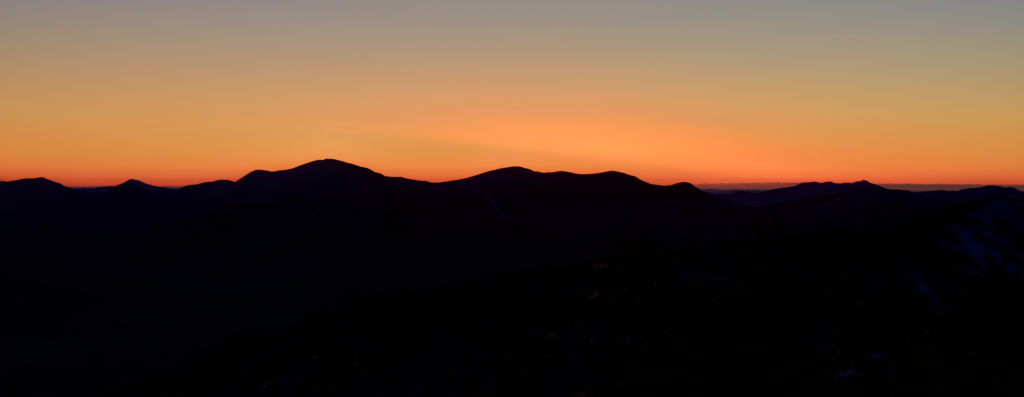
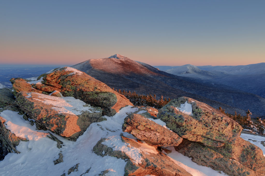
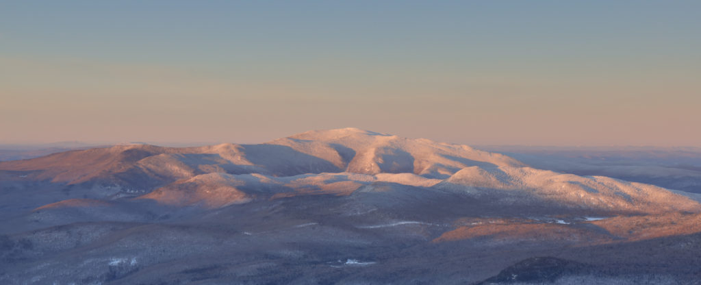
You know what is both a great and terrible idea? Climbing a 4459′ mountain to watch the sun rise. On the one hand, you are guaranteed to get an unobstructed view of the horizon. On the other hand, you need to get up at 3:30 AM to leave enough time to get to the trail head and climb to the summit before the sun is up. Despite the early wake up though, I enjoyed it the whole time. It started off bitterly cold (-3 degrees Fahrenheit) from the trail head. It didn’t take long though for the trail to start heading up hill and I quickly warmed up a bit. The trail was pretty much straight up the hill, so it was just steady climbing for 3 hours to get to the ridge and my first glimpse of the pre-dawn sky.
My first hint of the color to come
From there is was just a short walk up to the summit itself. I quickly discovered that I had gotten extremely lucky, because even though it was only about 5 or 10 degrees out, there was no wind. As a result I was able to get set up right on the summit rock and take my time capturing the early light as it started to spill over the ridges around me.
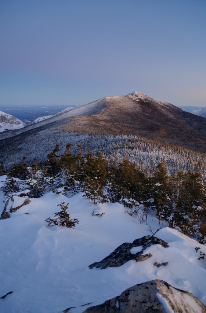
The first view I took in was looking up the ridge to Mt. Lafayette. It hung over me as I climbed the last half mile to the summit, and was the closest peak around. It was neat to watch it change color, gain new shadows, and start to really glow in the morning light as the sun came up.
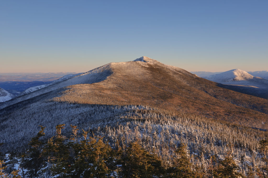
Mt. Lafayette just before I reached the summit. Not much color yet hereThe summit in full light just before I headed back down
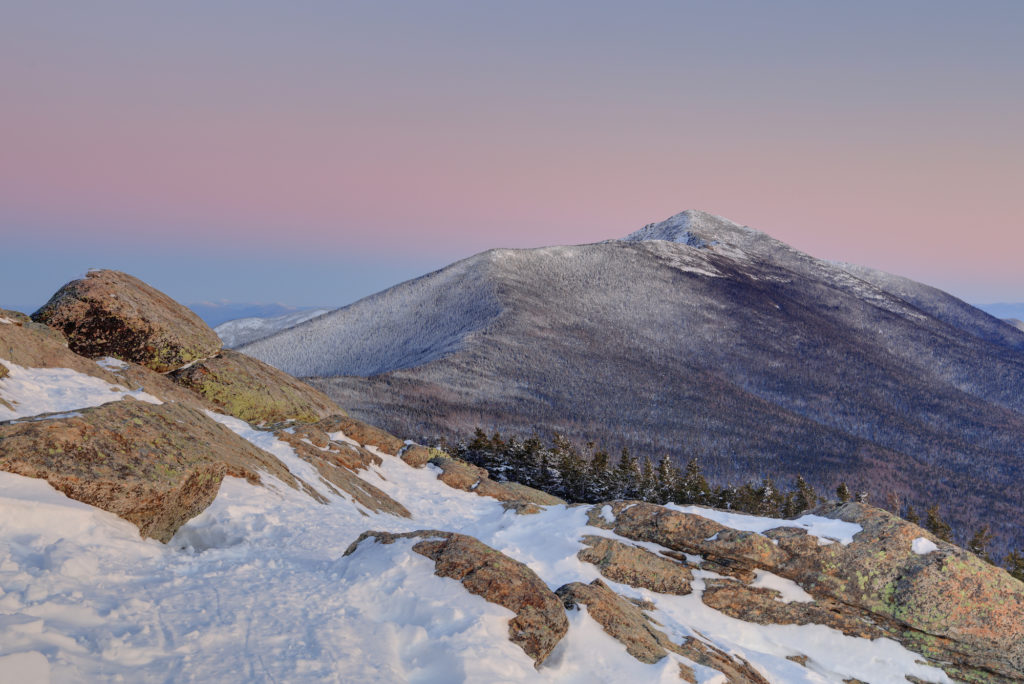
The not quite risen sun projects a ribbon of pink above the summitThe first hint of light
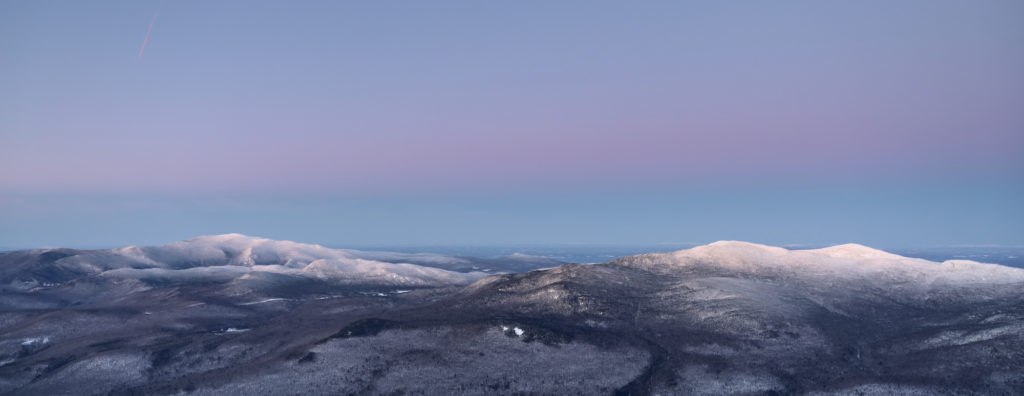
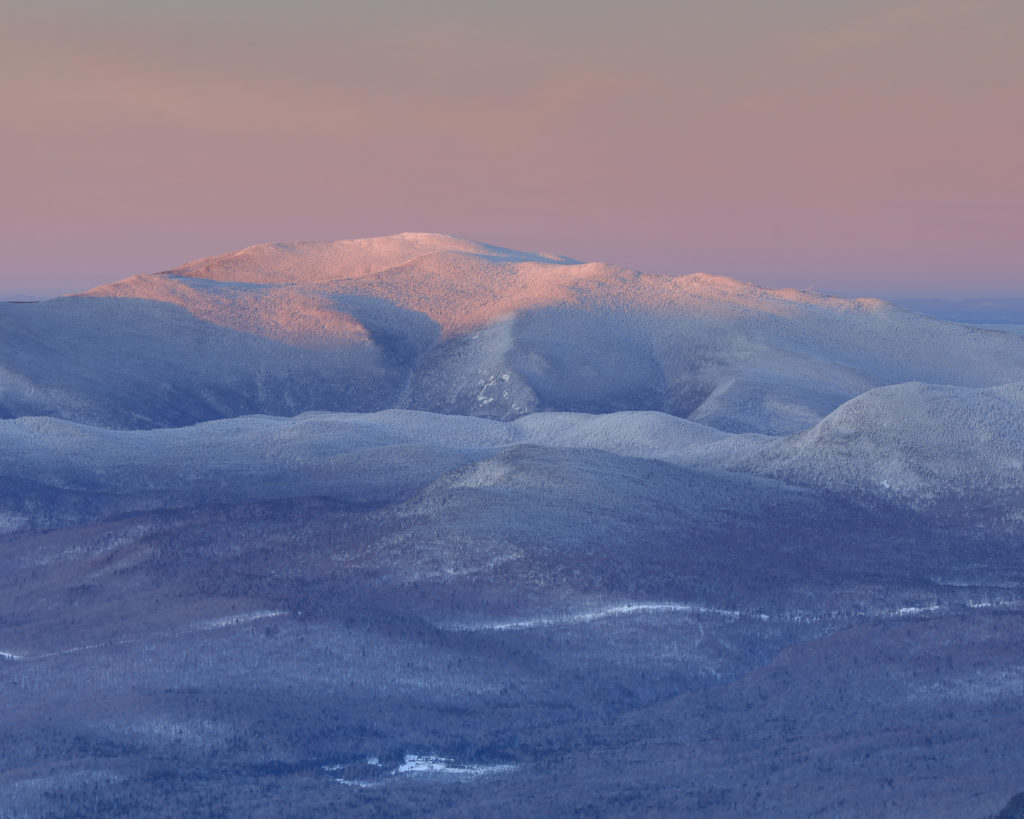
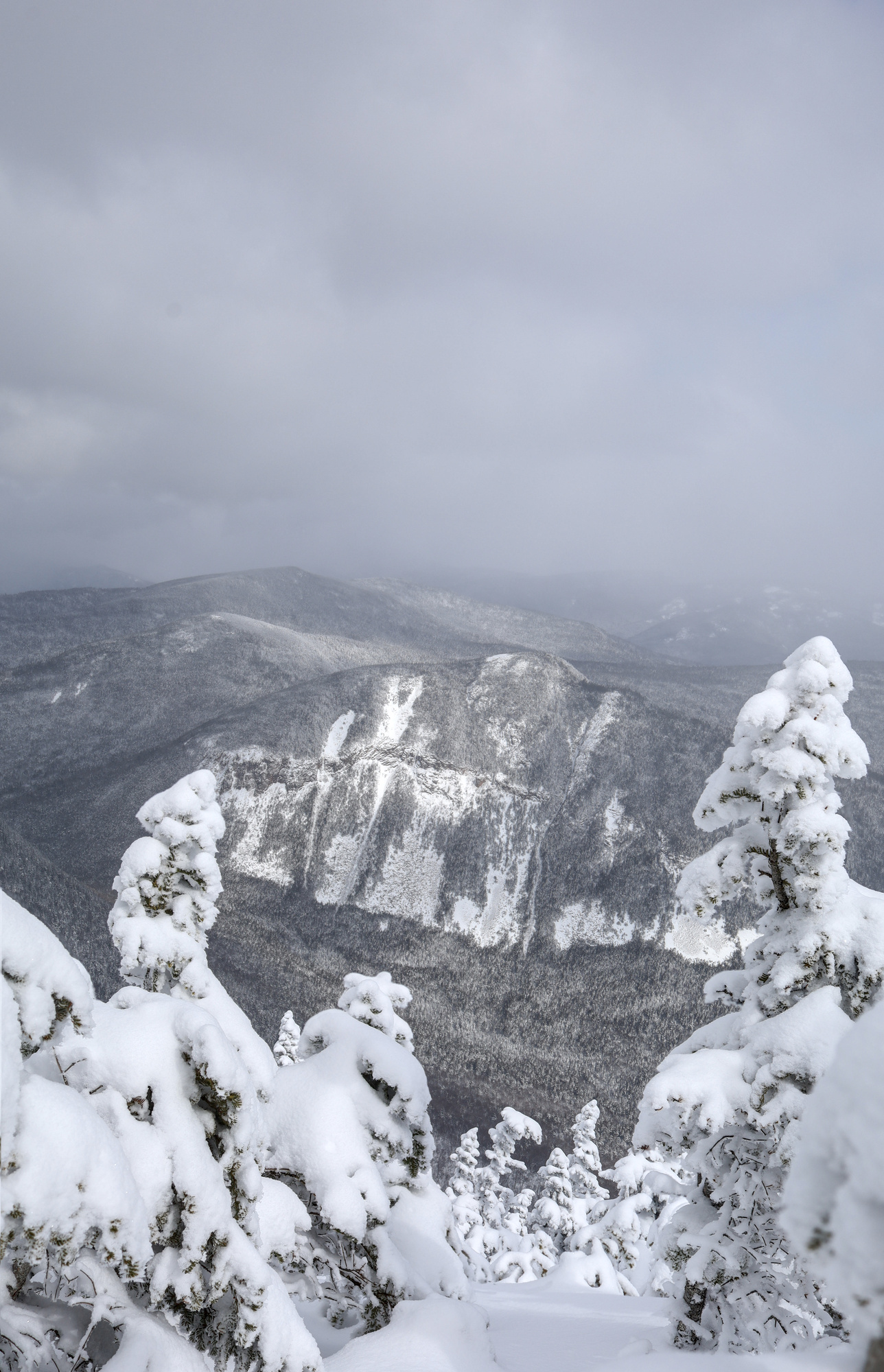
The second area to catch my attention was the view out to the west. Given how steep the descent back into Franconia Notch is, the mountains on the other side look so close, but also so separate from Mt. Liberty. The view was divided into two groups, with Mt. Moosilauke on the left, and the Kinsman and Cannon range on the right.
Both ranges with a purple band of color above them
The summit of Moosilauke touched by the sun, with the valley in the early morning blue glow
Mt. Cannon just before the sun hits the ridge
Mt. Moosilauke as I headed back towards the valley
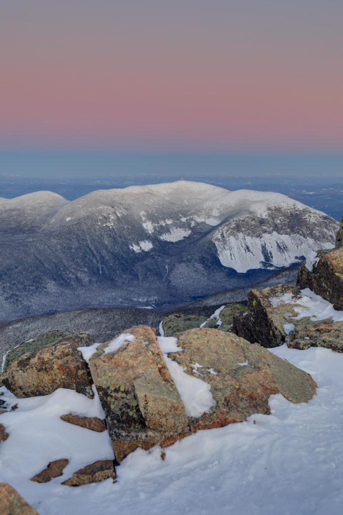
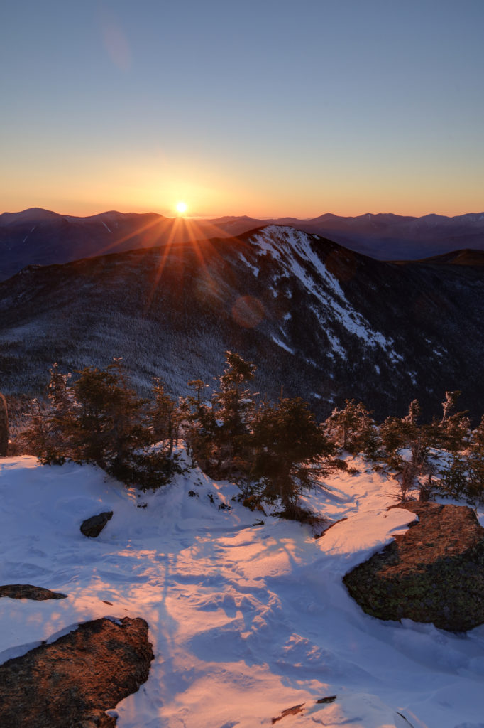
The most spectacular views though had to be to the east, where the rising sun created an incredible contrast between the dark and shadowed valleys, with the warm sun climbing into the sky. There were no clouds to light up, but seeing the ridges, snow, and rocks glowing with the first light was enough for me.
The moment of sunrise and the first light on the summit
The valley starts to brighten up as the sun gets higher
After spending a half an hour running around the summit with my camera, I took some time to appreciate the solitude and quiet of this place. The combination of the still air, piercing sun, and snow all around really made it feel like I had the entire mountain to myself. It made the early start completely worth it. Unfortunately, it had to come to an end at some point though, and I soon started back down the mountain. It was a quick and relatively easy descent with a mix of fast hiking and a bit of glissading. I started to pass more and more people the lower I got on the mountain, end even got a few puzzled looks as they thought about the timing of my descent.
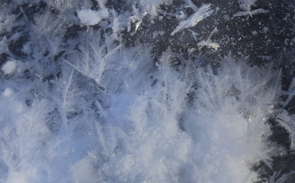
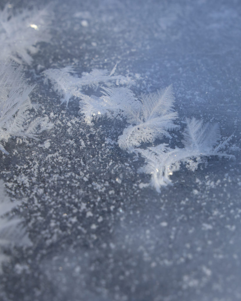
Frost crystals on a frozen puddle
Don’t these look like mini ice ferns?
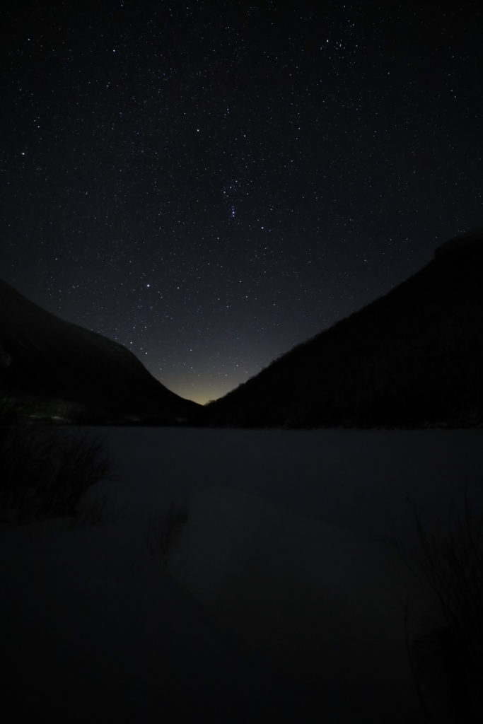
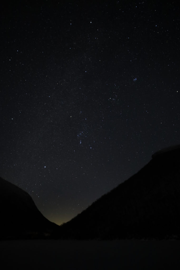
Once I arrived at the trail head again it was back to our cabin for the morning to catch up on my sleep and relax for the day. We went out again in the afternoon for another hike and also went into town for a nice dinner again. Always a glutton for punishment though, I decided to head back out for a couple of photos of the stars at the Old Man of the Mountain historical site. Let’s just say I didn’t get up very early the next morning.
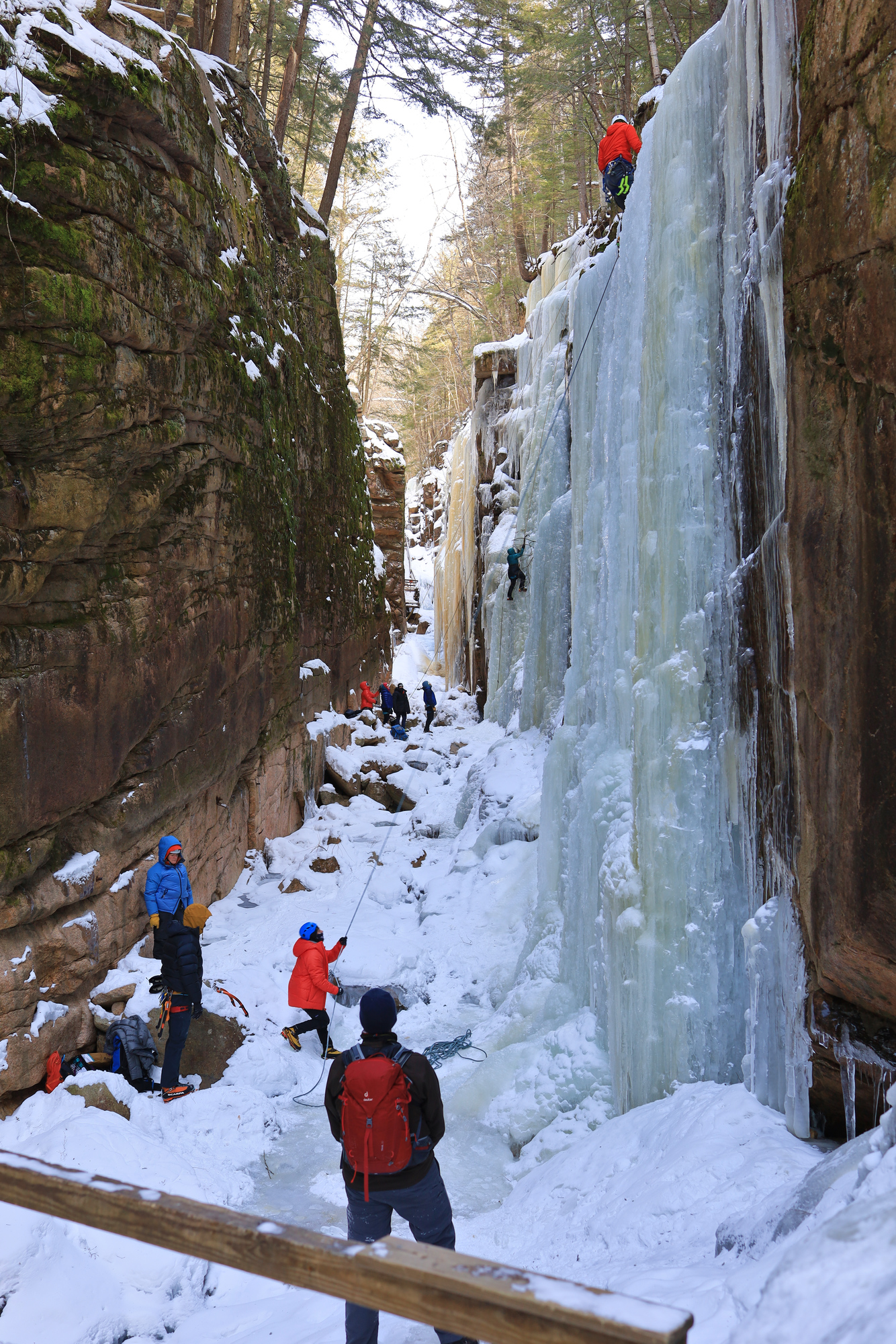
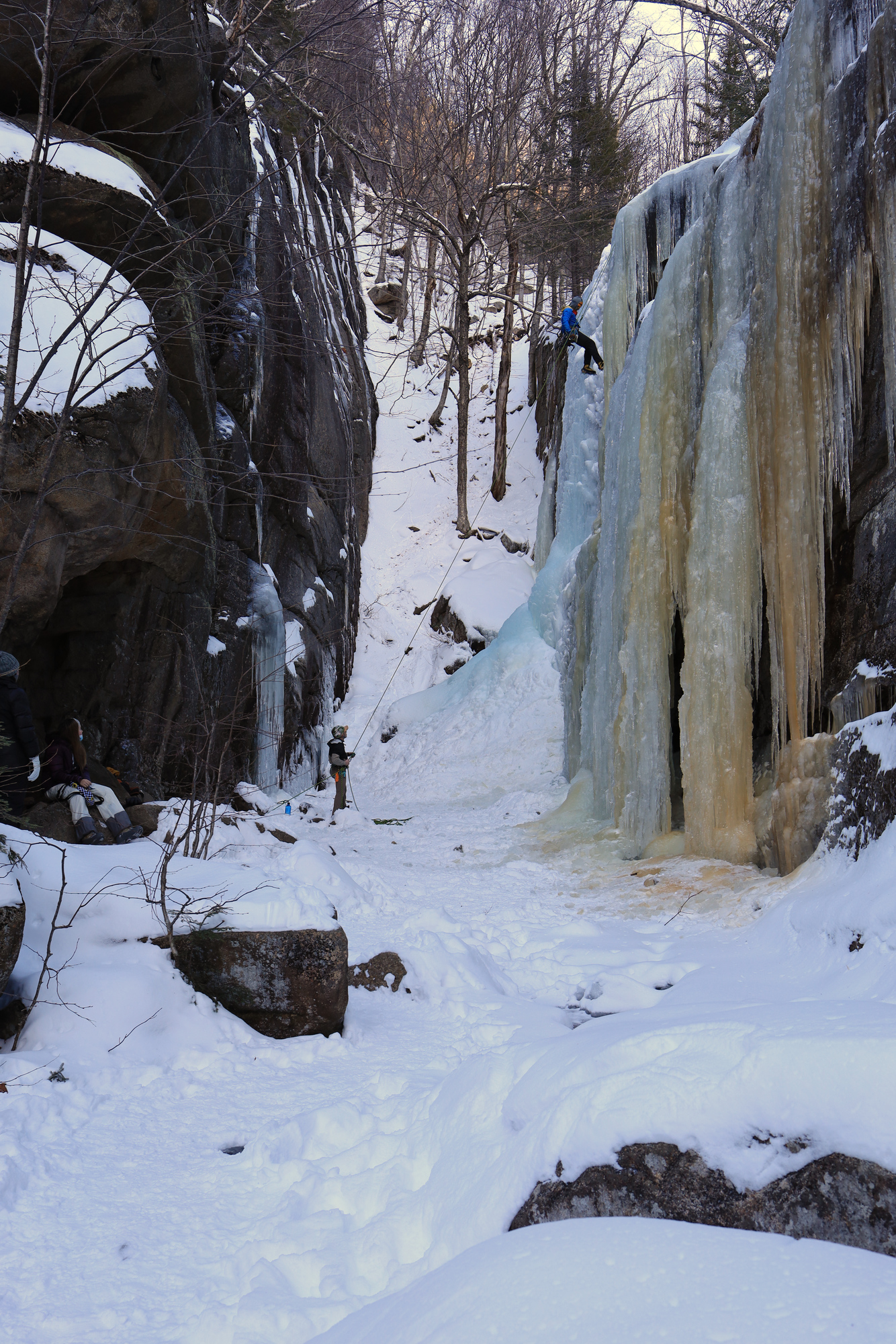
On Saturday morning we headed out to make the most of a pretty, but frigid, day. After a relaxed start we headed up to the Flume Gorge visitor center to go for a short hike. Though I have hiked Mt. Flume in the past, I have never really checked out the gorge itself. After climbing up the hill to the entrance to the gorge we were treated to an impressive array of ice with a number of ice climbers scrambling up the walls. We were not equipped to traverse the gorge, so we stuck with the overlook trail that led to the top.
Ice climbers enjoying the sheets of natural ice
The trail through the gorge was closed – and for good reason
With the photos taken, it was down the trail to the north to complete our loop. The trail was wide and extremely well maintained, so it was quick going. At the bottom of the hill we slowly navigated the trail down to the Sentinel Pine Bridge. It was quite an impressive sight perched high over the river below. It was very slow going through this section given the steep grades and our lack of traction.
Looking across the bridge
By the time we arrived back at the car we were pretty well frozen, so we decided to do the rest of our exploring by car. We decided to drive the length of the Kancamagus Highway and explore the overlooks and sights along the way. It is a very pretty section of road and definitely worth checking out. On the way back towards Lincoln for dinner we were treated to a nice sunset over the road.
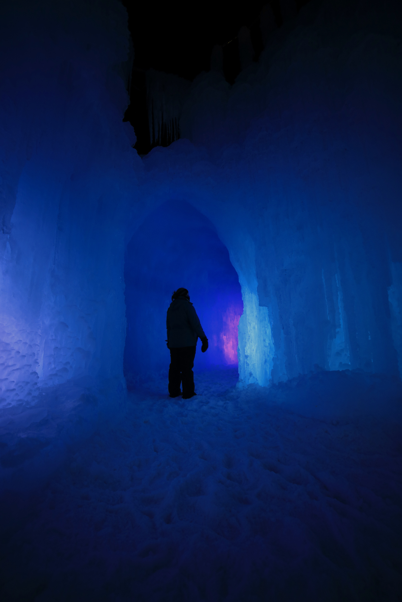
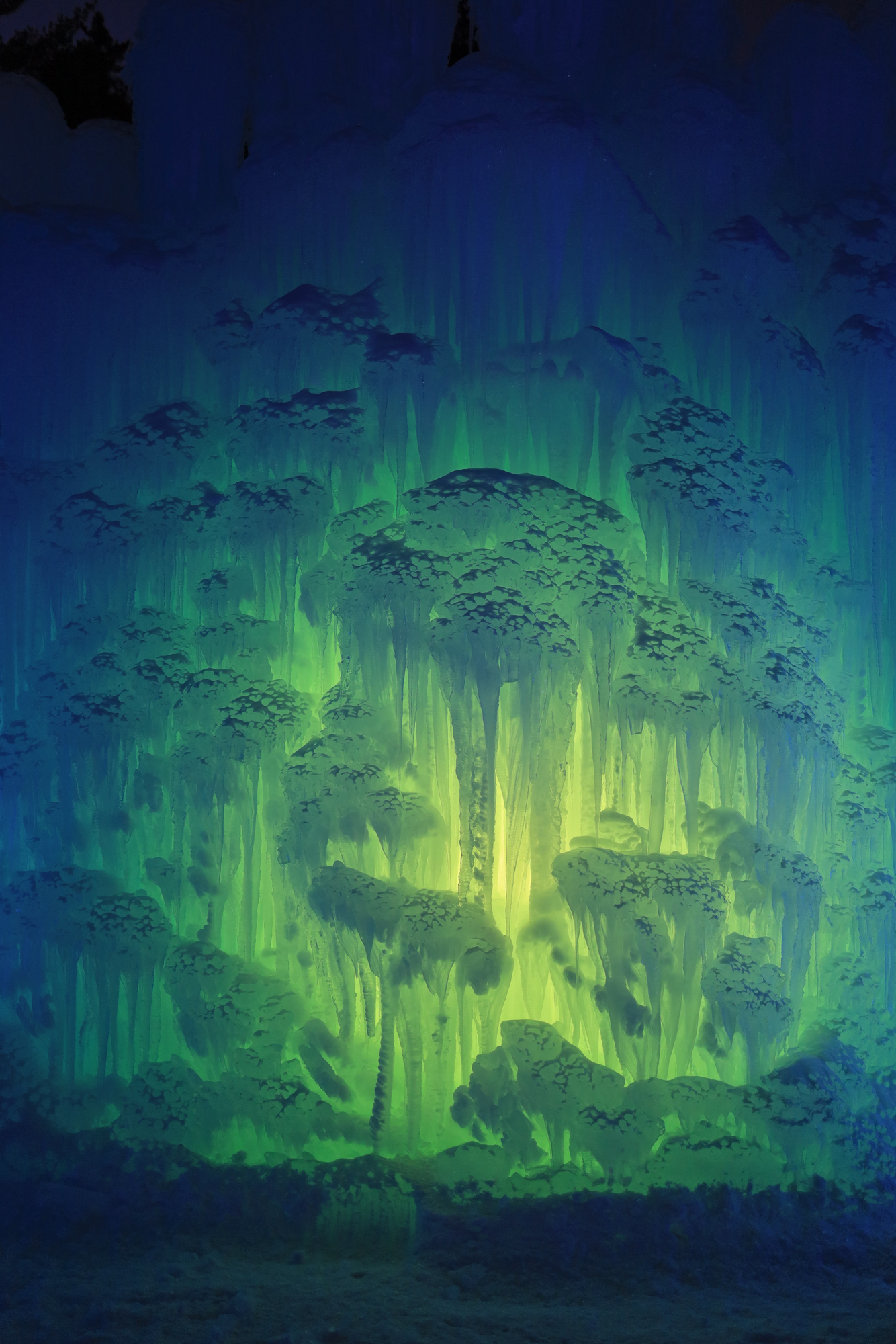
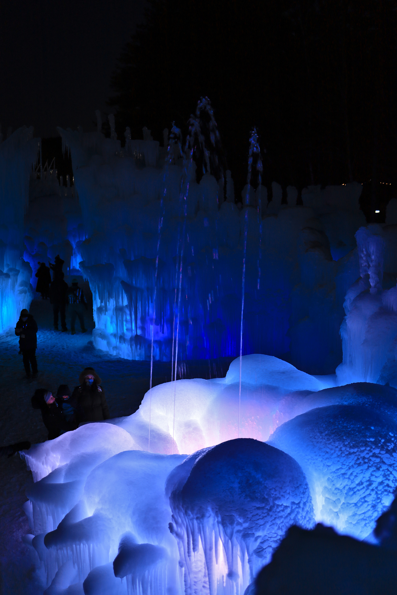
After spending so much time holed up in the house we decided to head up north to the White Mountains for a change of scenery. After a day of skiing we headed to the Ice Castles in Lincoln to see what all the fuss was about. It turned out to be a pretty interesting spot. As soon as we were in the gates it was clear that this was a large structure. There were impressive walls of icicles capped with a bit of snow. The interior of everything was lit up so that the entire place glowed.
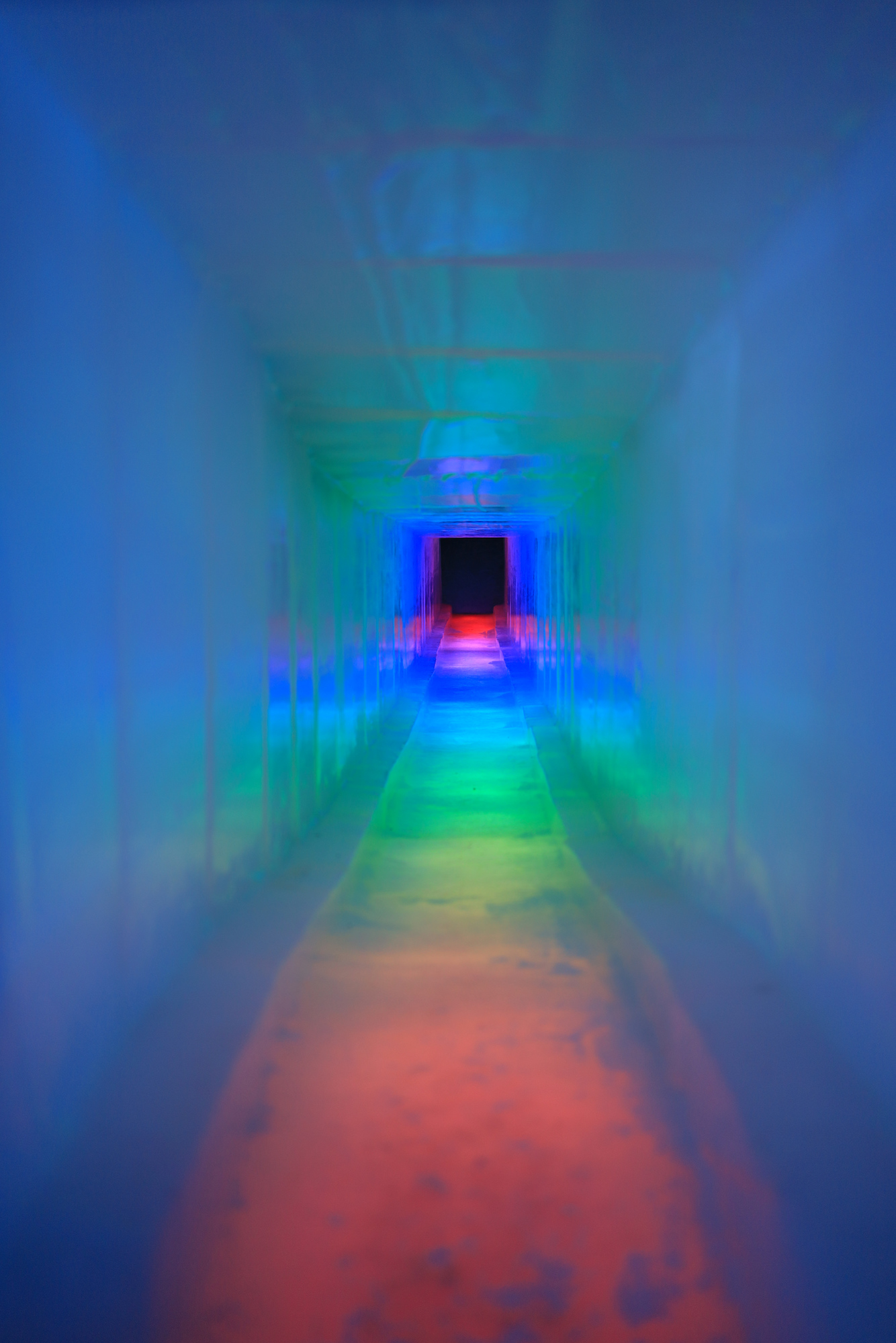
Exploring one of the tunnels through the walls
A combination of ice snow and light
We spent some time exploring the main castle area and watching the many families take advantage of the slides, sleigh rides, and climbing structure.
The water in this fountain must have been heated – it was 5 degrees outside
A rainbow ice slide
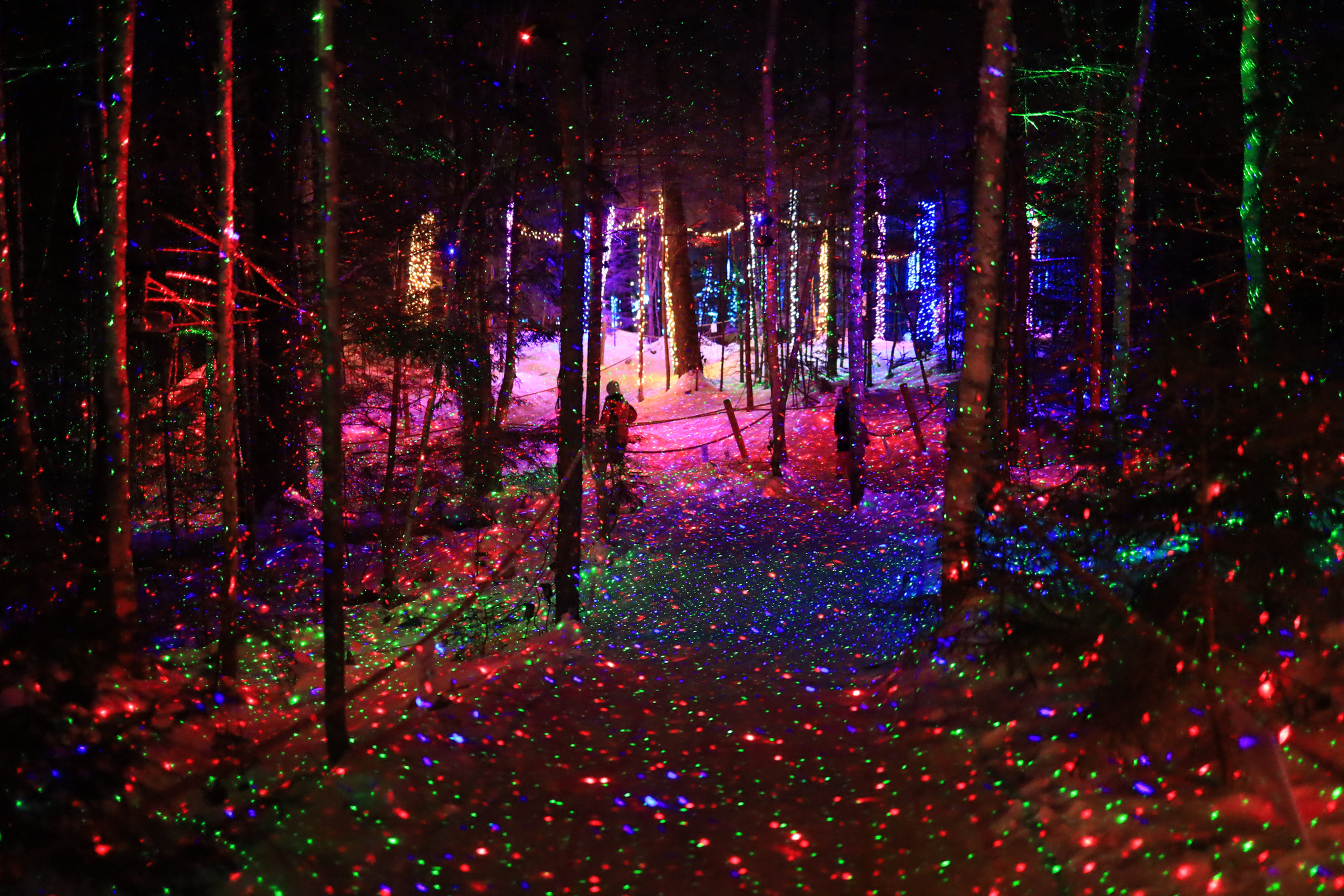
One of the most interesting spots here was actually not an ice castle though. There was a short walk through the woods that had all kinds of light displays in various combinations. Hanging lights, lights on the ground, laser lights, and tree lights were scattered throughout the woods and kept on impressing us. It was also much quieter than the main attractions, which always makes things better for me.
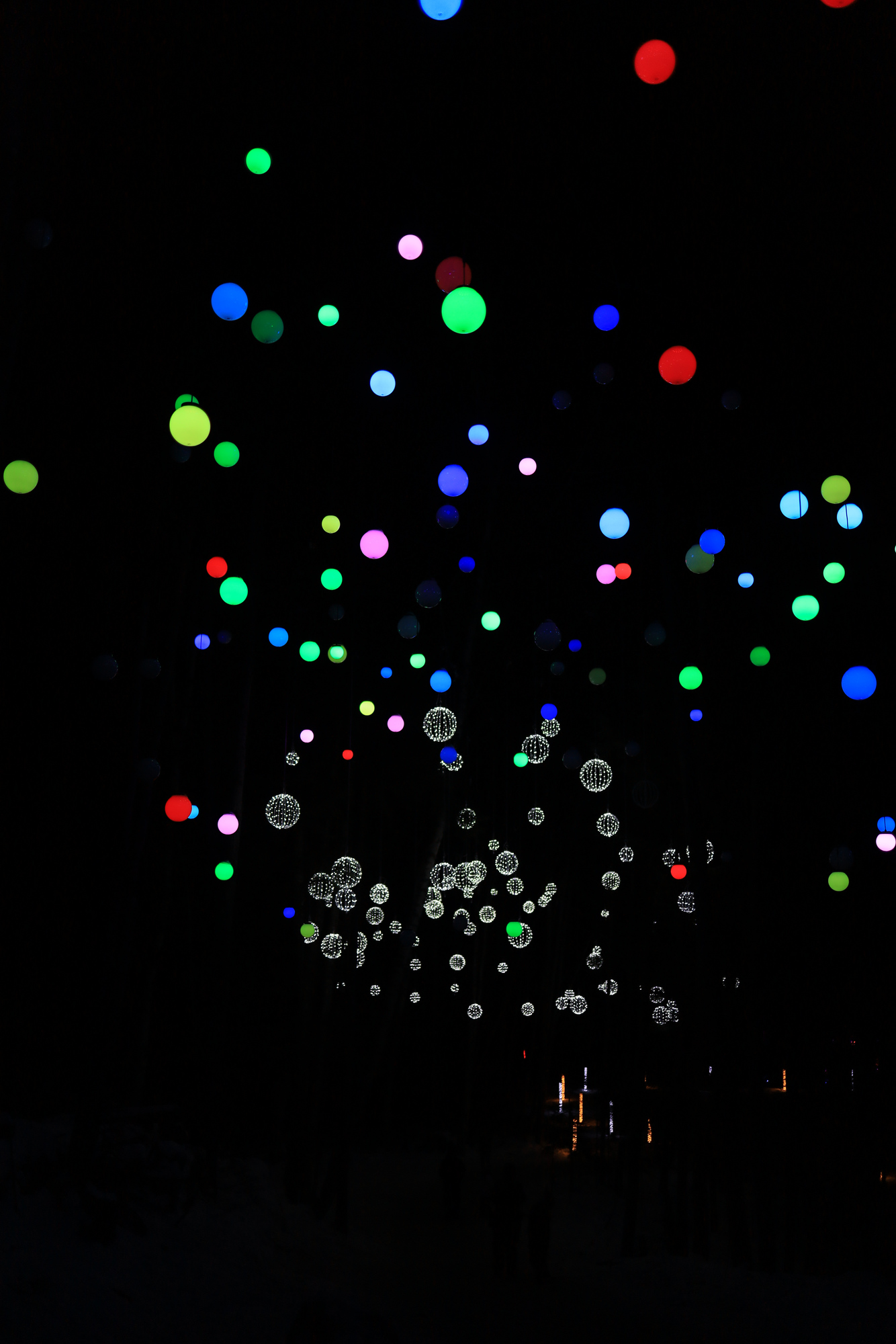
Looking up at the suspended lights above the trail
Laser lights everywhere
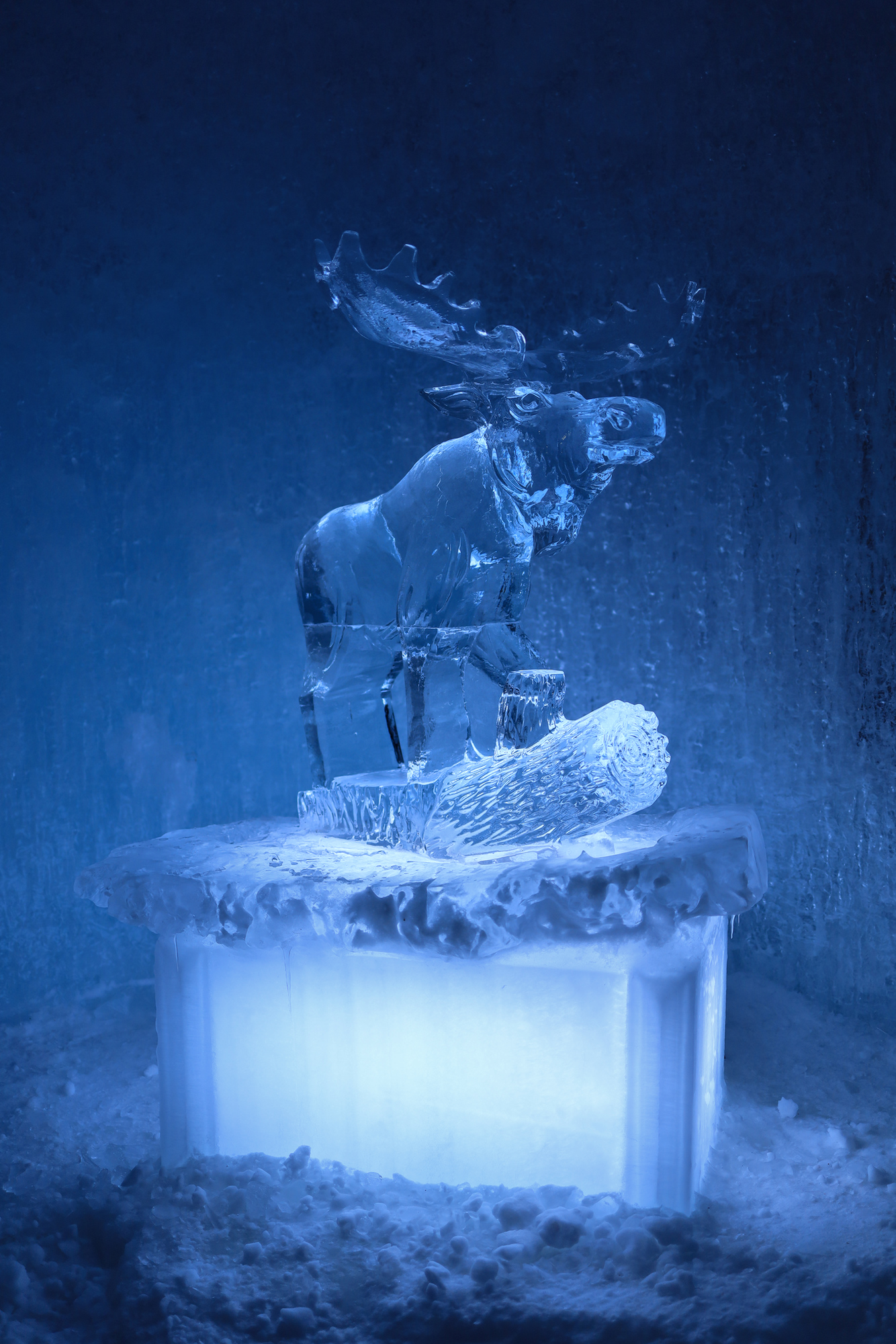
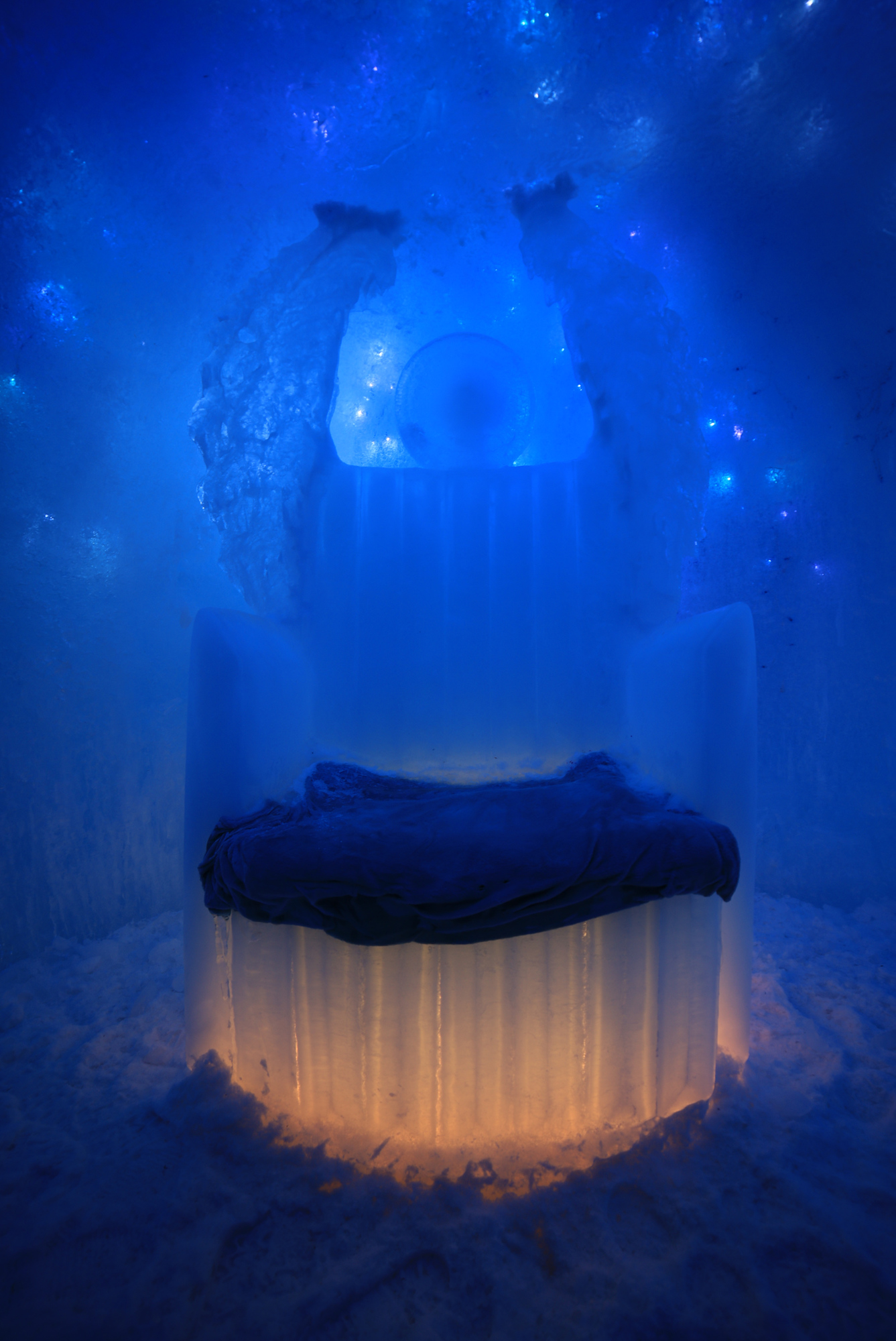
At the end of the day this is quite a unique place, and I don’t think I can really sum it up in a few pictures. I’ll leave you with a couple ice sculptures that we passed along the way, both of which had some really excellent lighting. If you spend some time in Lincoln in the winter, I would definitely recommend checking this place out in person!
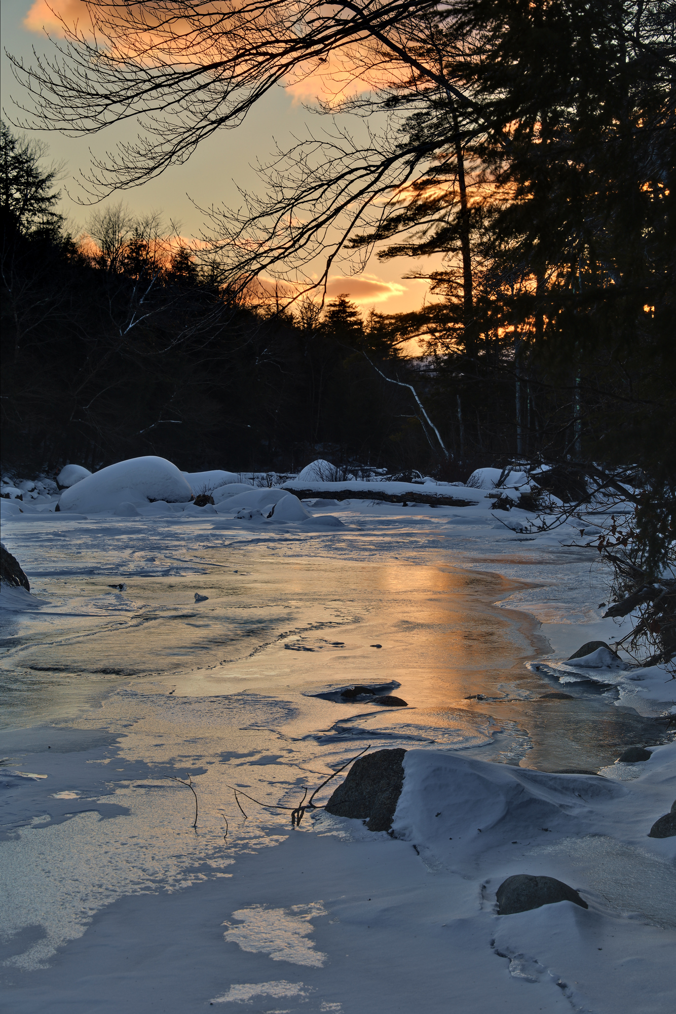
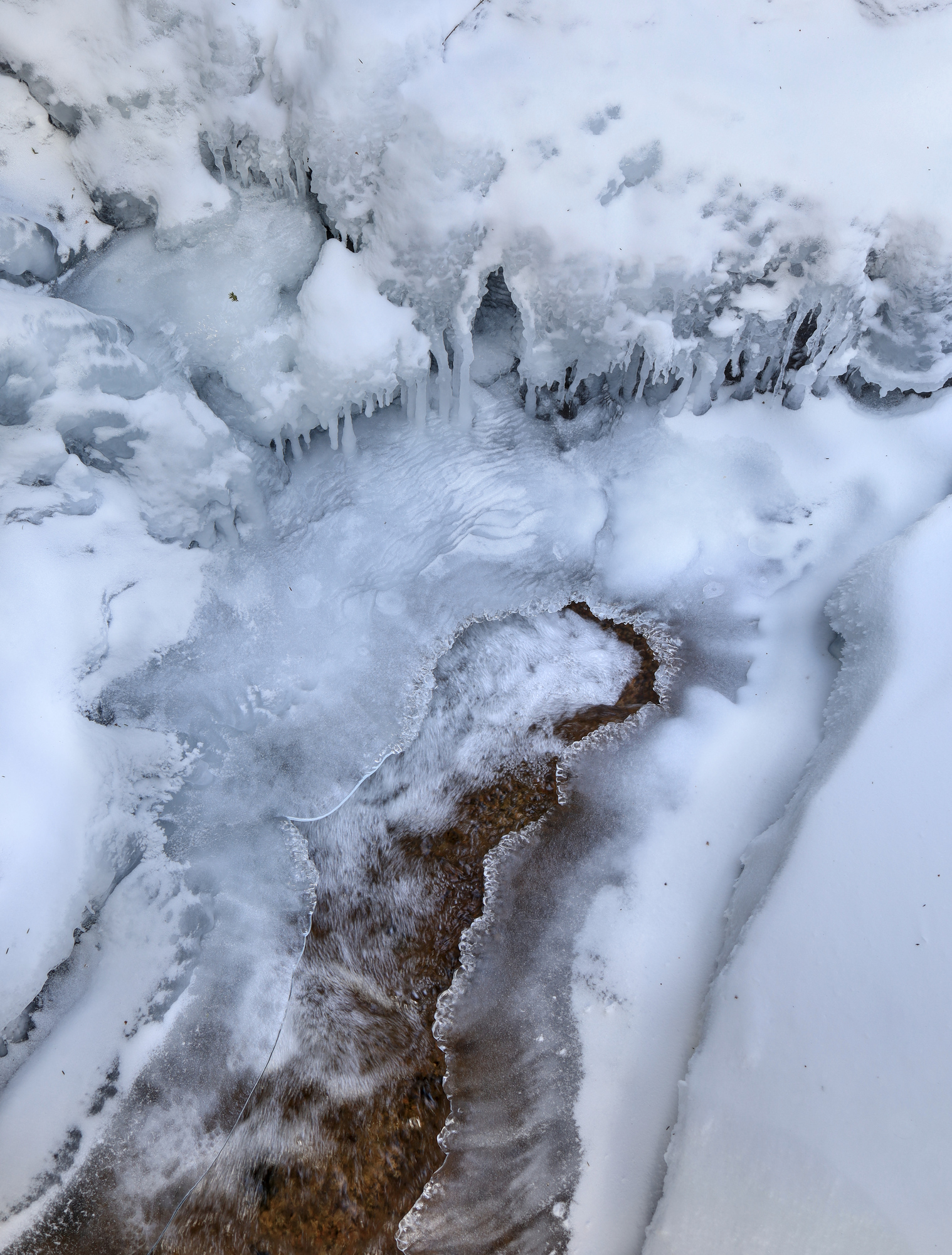
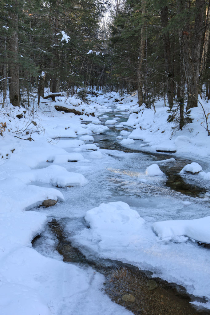
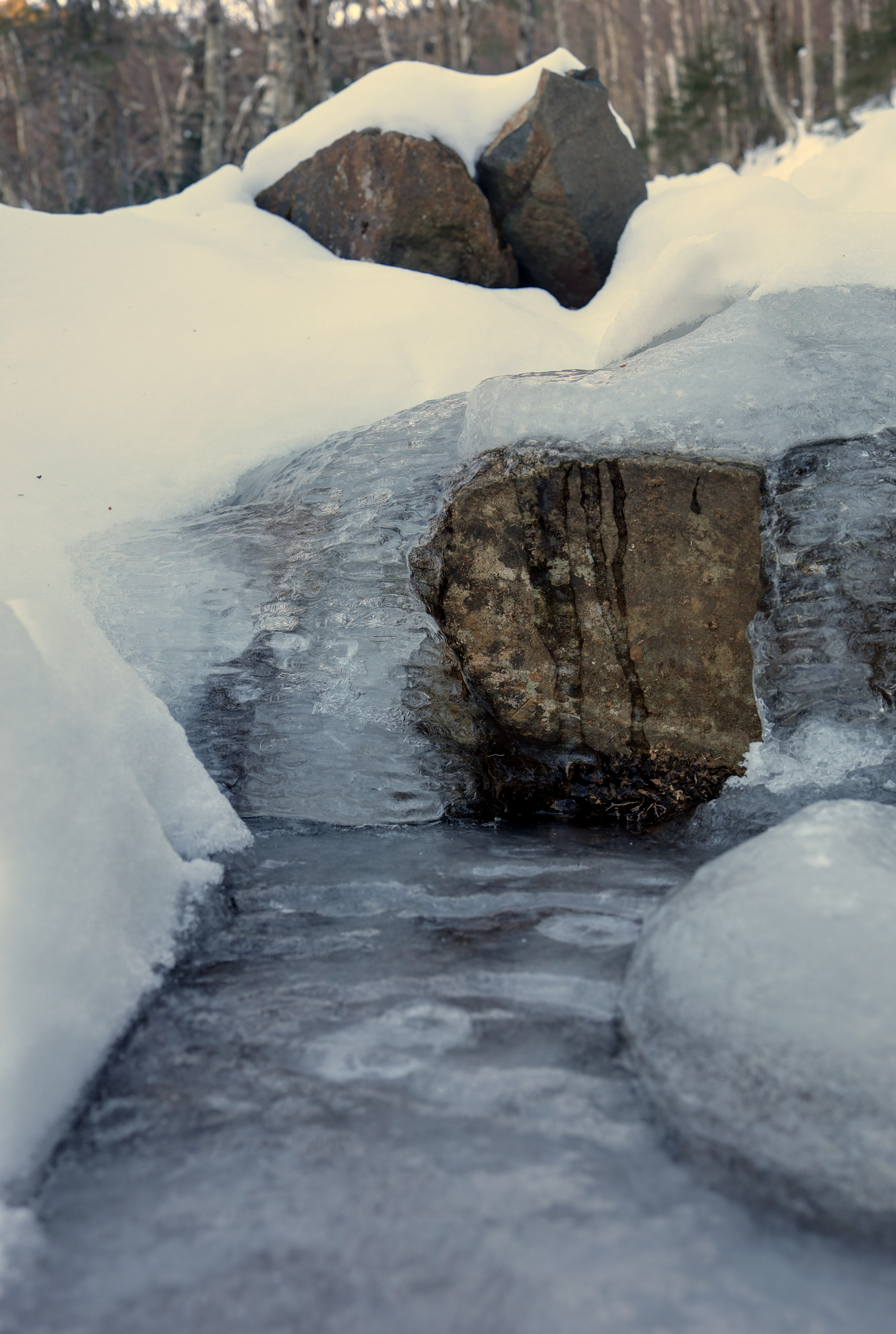
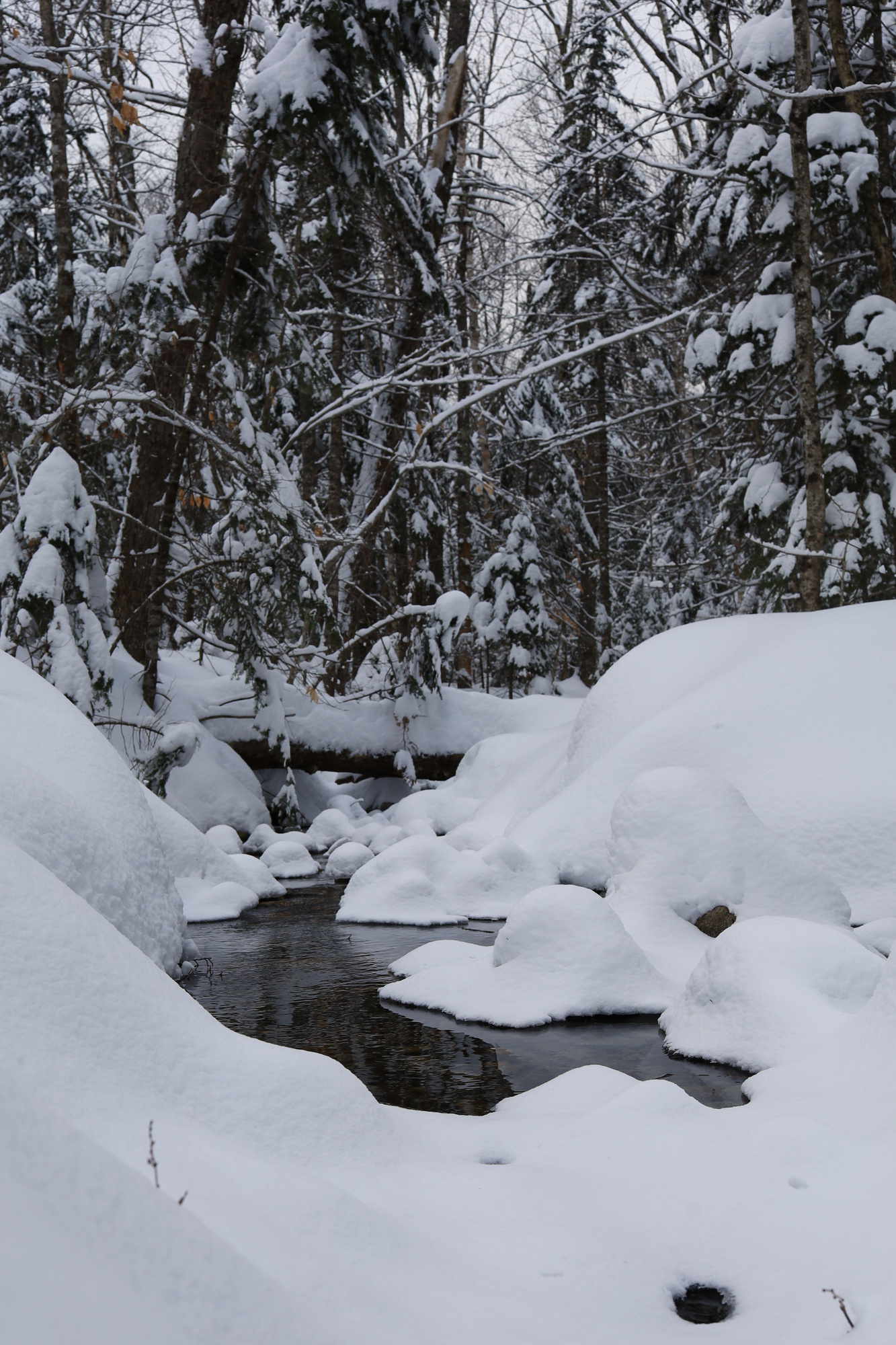
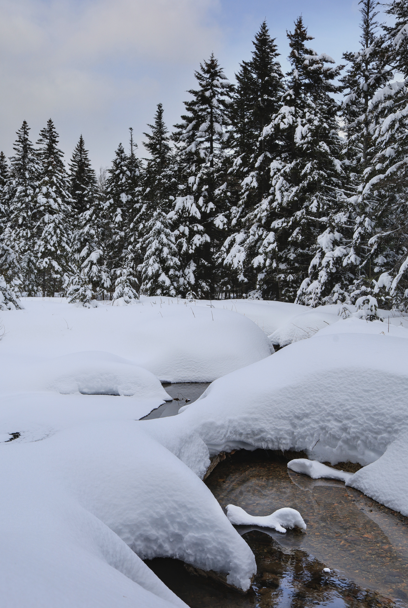
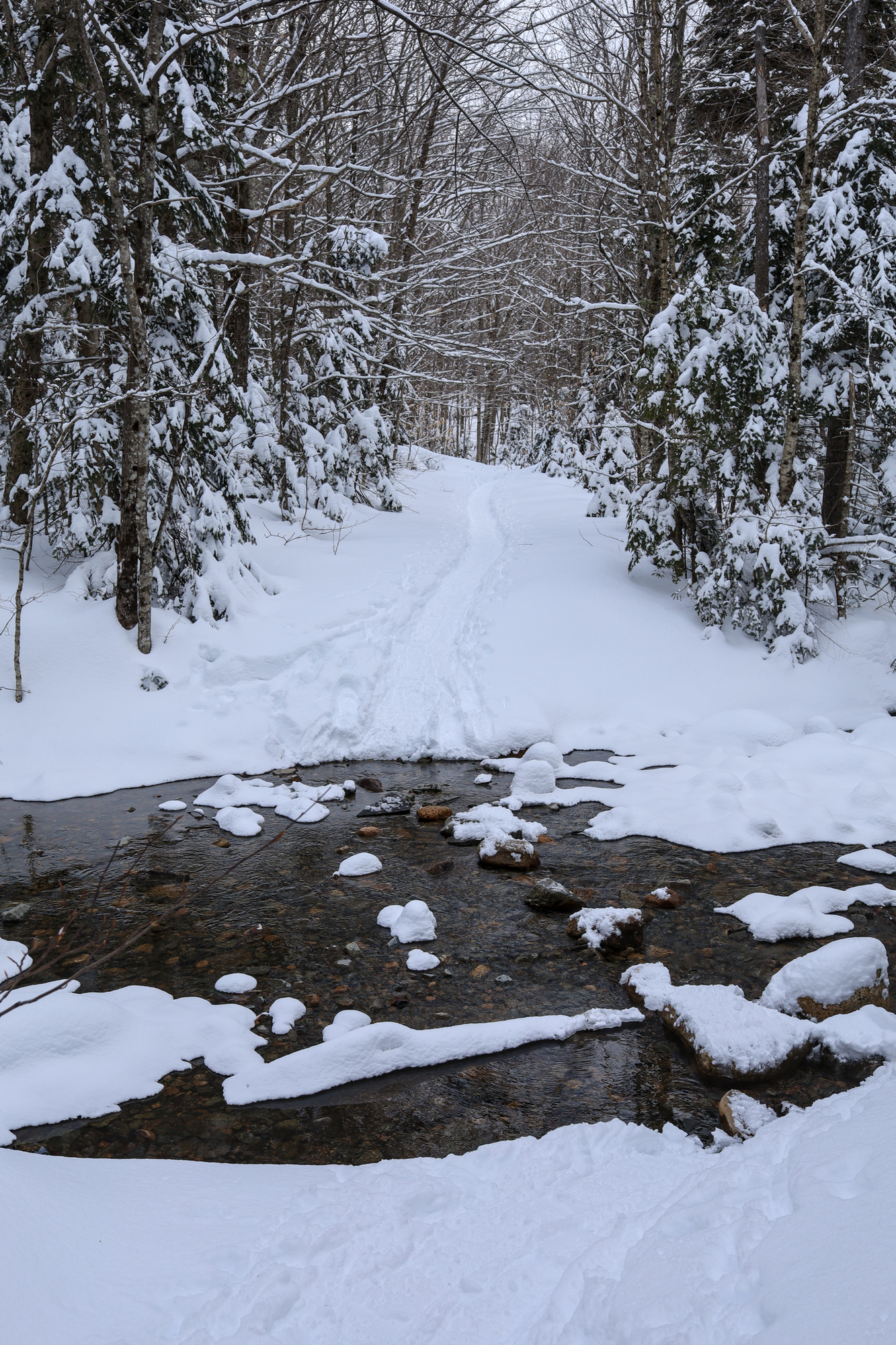
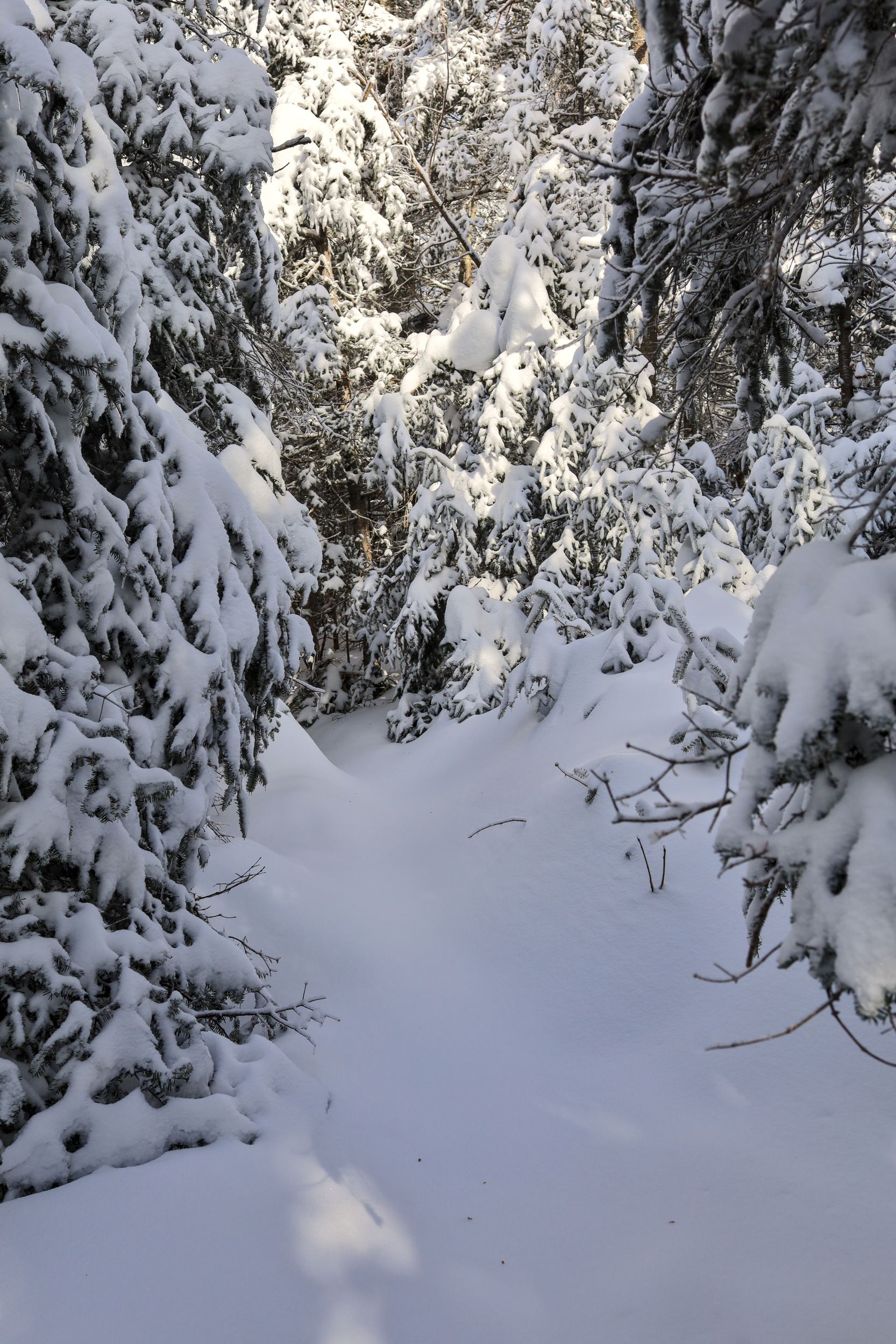
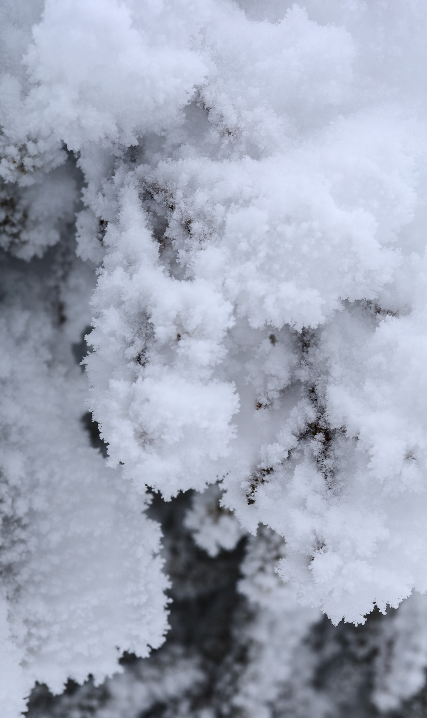
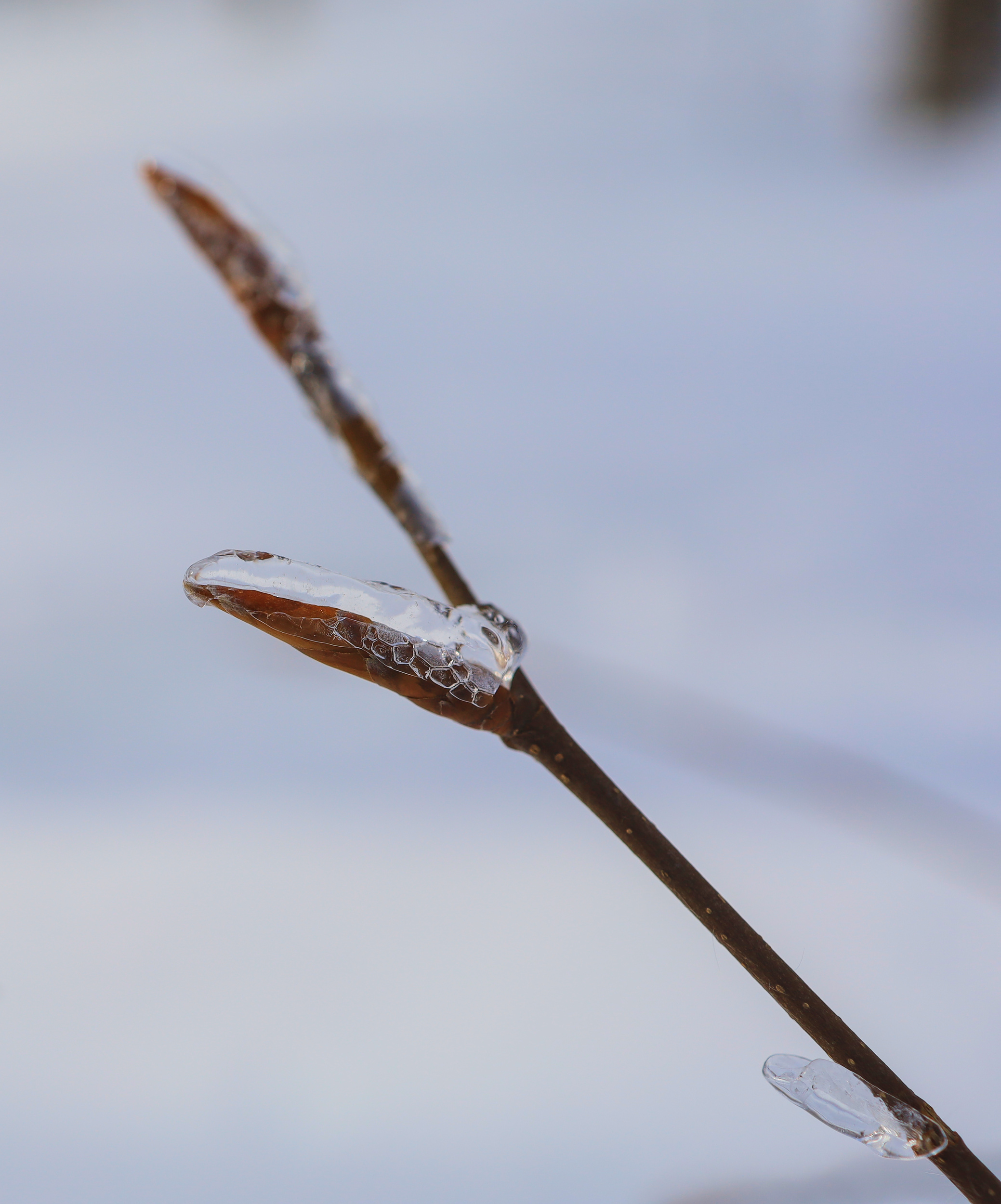
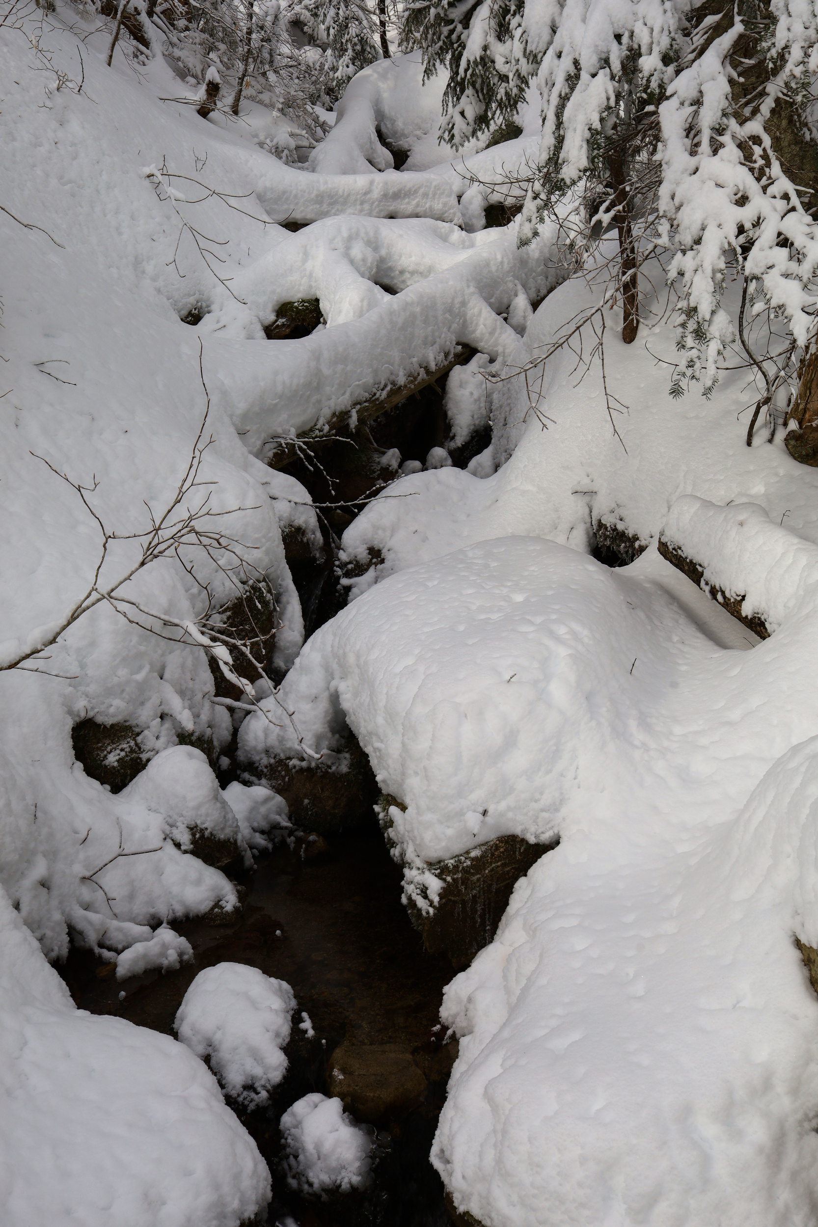
Today’s post has a bit of a theme: Ice. I went up to Mt Chocorua on a beautiful Saturday to get a taste of real snow cover and solitude. I hiked up via the Champney falls trail so I could get a look at the frozen falls on the way, but I ended up seeing a lot more ice than I had expected. It started early with a couple of stream crossings right near the start of the trail.
The first stream was the most treacherous
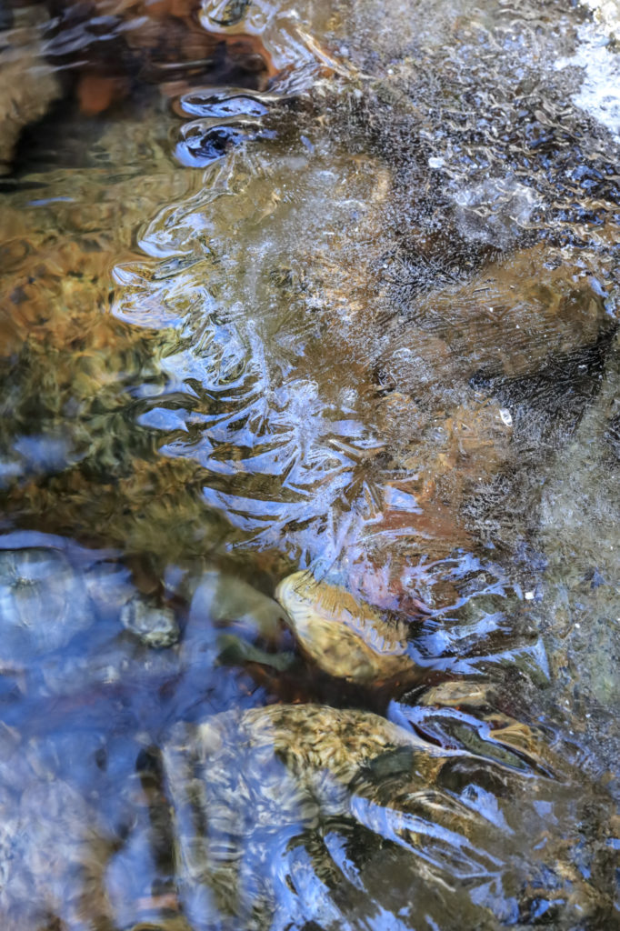
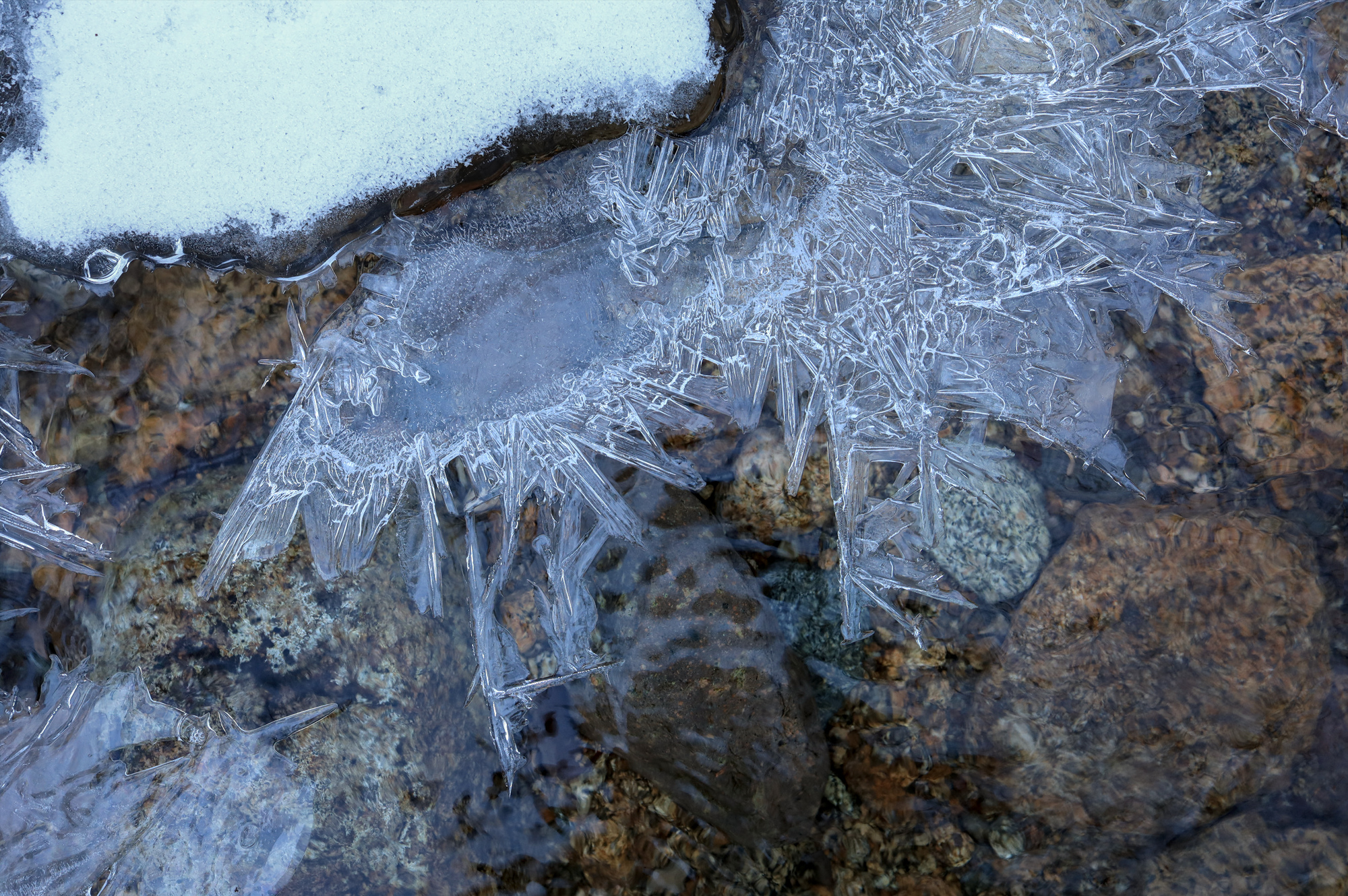
The streams had all kinds of interesting shelves and crystals at the water’s edge
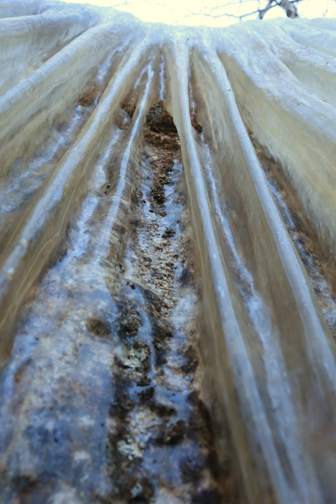
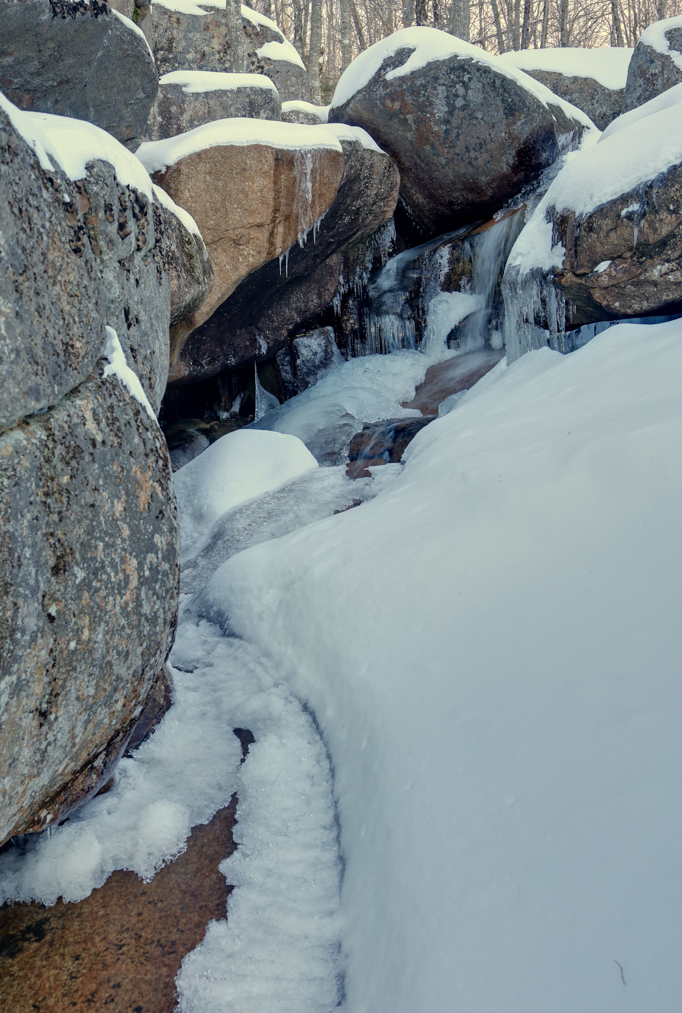
After some steady climbing I arrived at the falls I had been looking for. As expected, the small gorge had massive sheets of ice forming on the uphill side. In addition though there were an assortment of intricate ice formations across the area. I spent quite a while poking around in the early morning quiet to check them all out.
Ice curtains
The main view of the falls on the way in
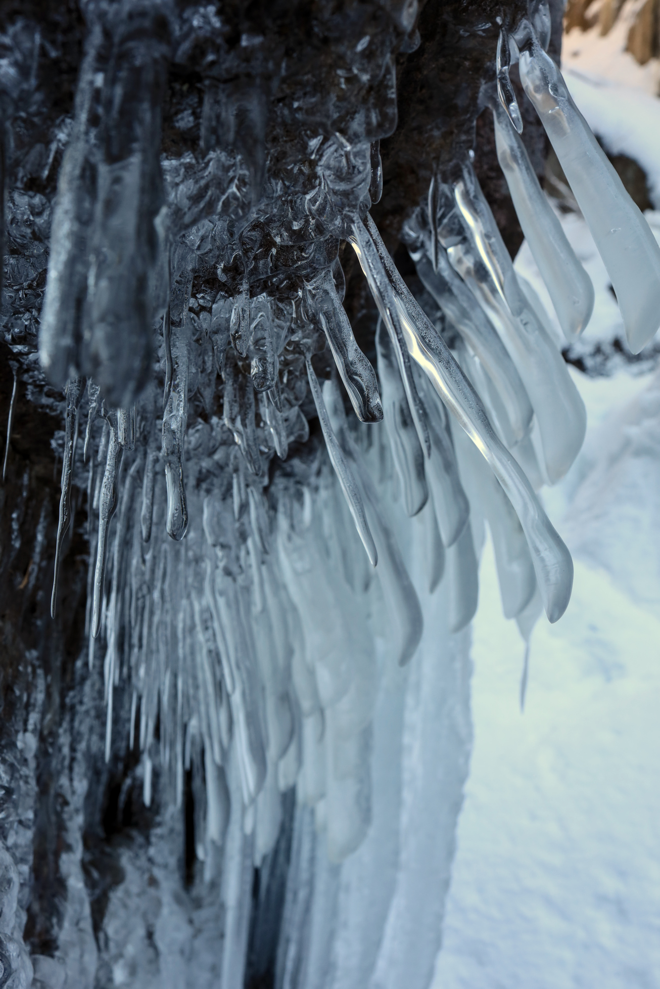
These icicles somehow grew in multiple directions
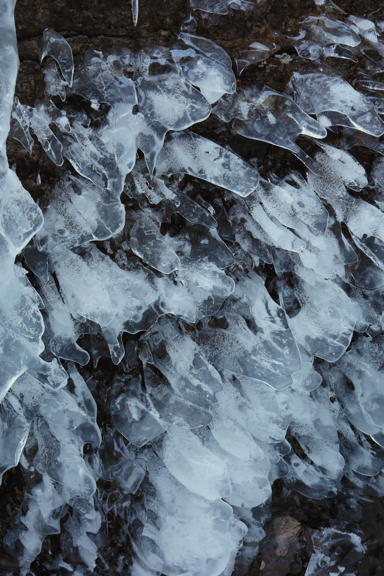
Flat icicles
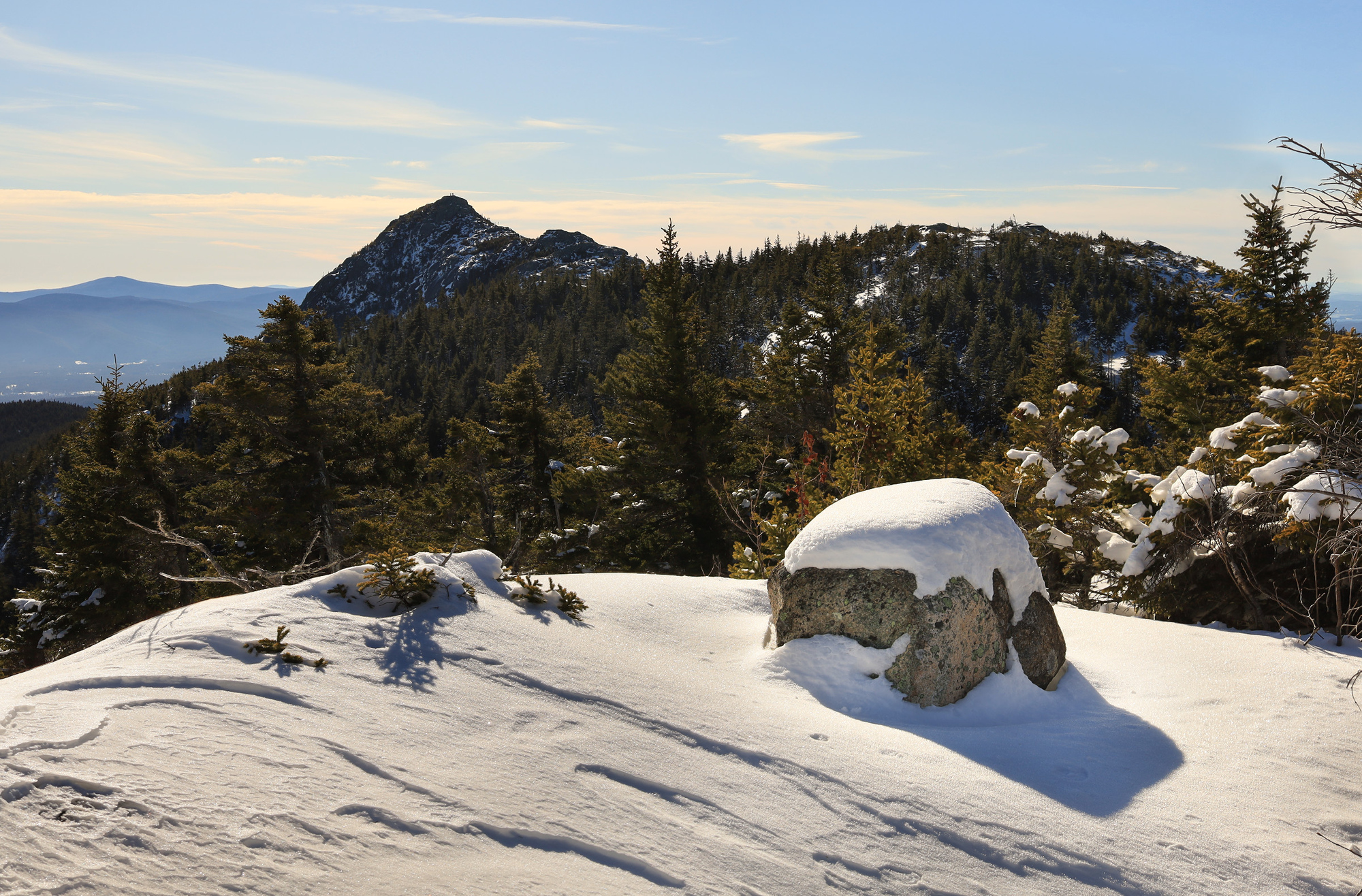
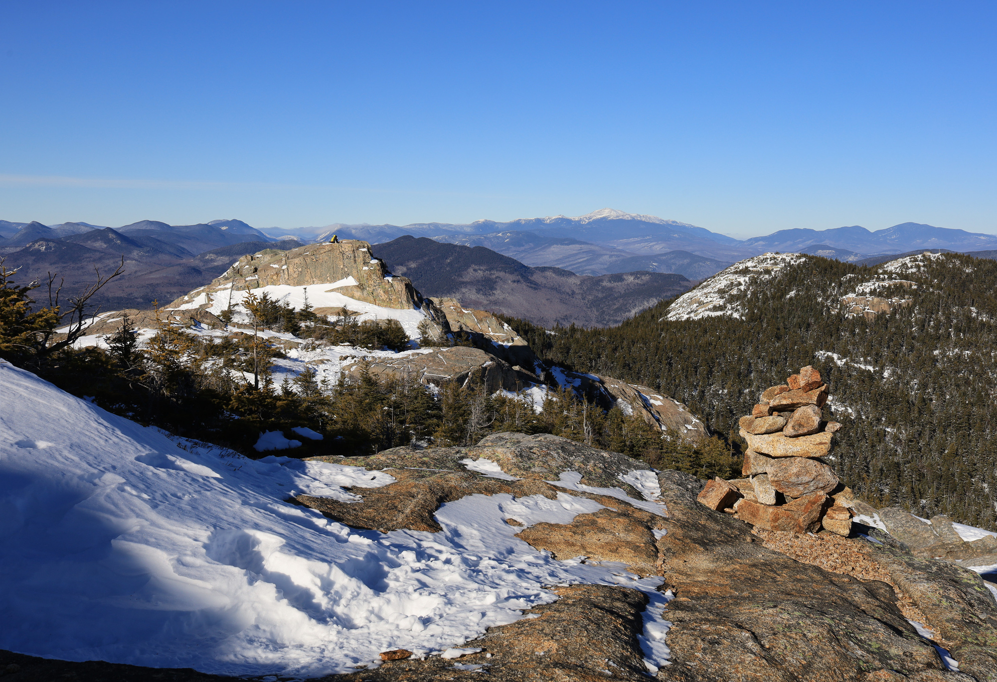
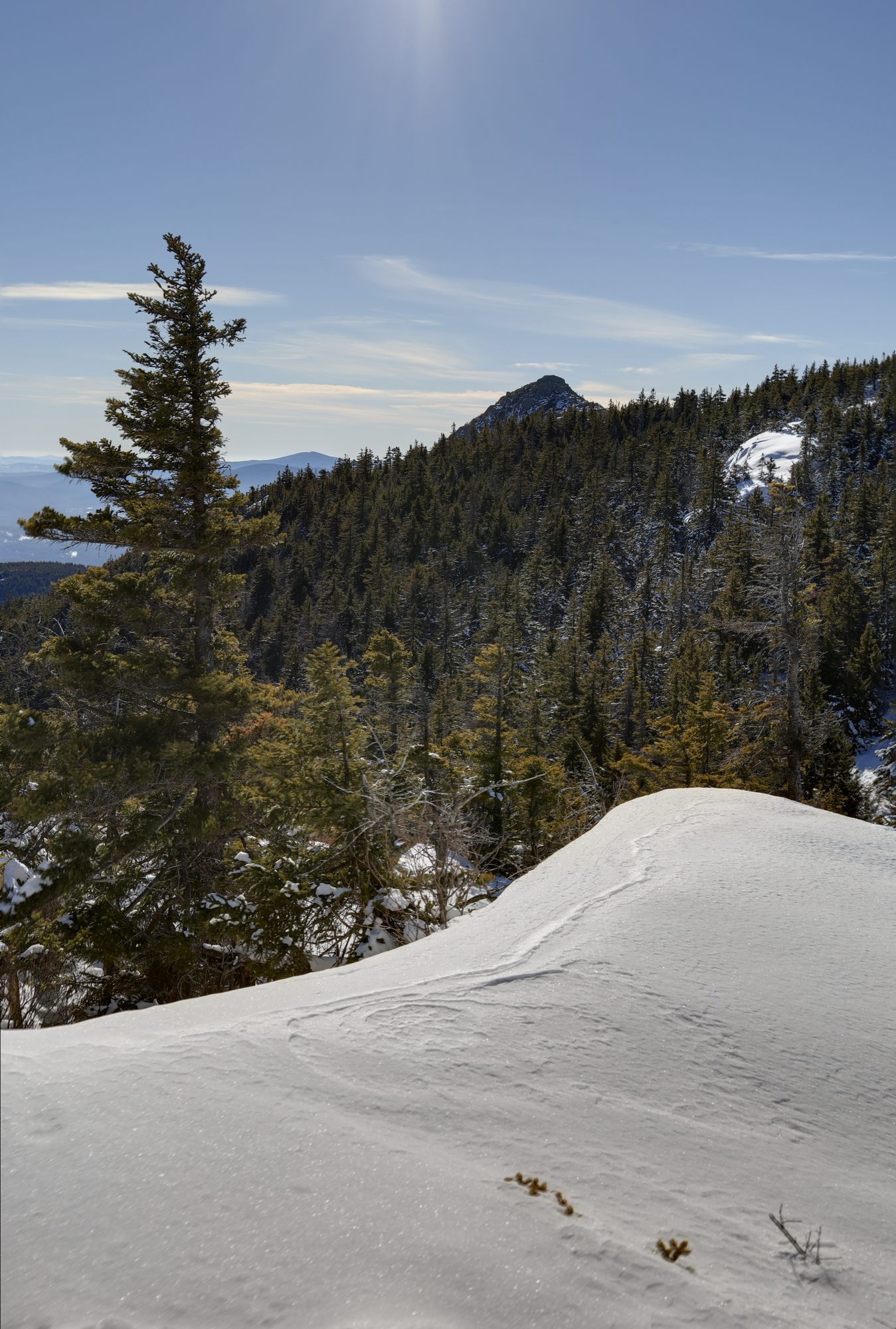
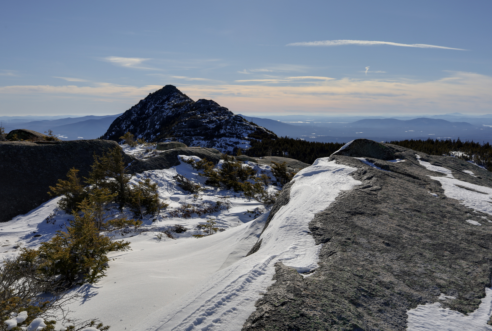
Eventually other people started to show up and I continued on up the mountain. Though most of the climb was not noteworthy, once I emerged onto the ridge between the summits, I was surrounded by incredible views. To the north was the heart of the pemi wildterness and presidential range, including a clear view of Mt. Washington. To the south were miles of hill country dotted with small lakes, many featuring some ice fishing. Most impressive though was the jagged summit of Chocorua which was clearly visible just over the ridge.
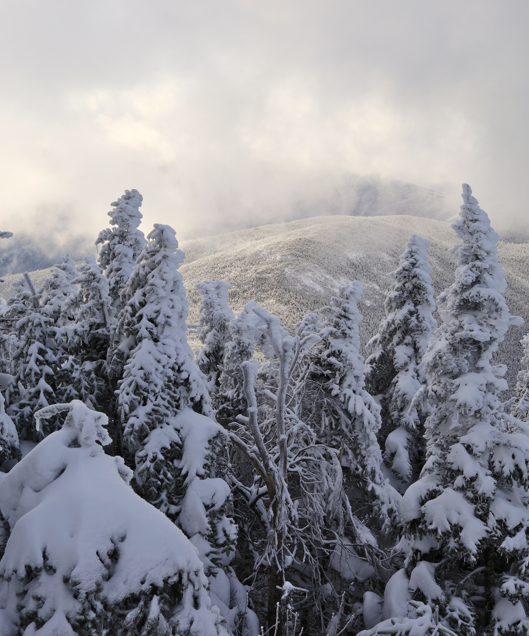
The summit of Mt Chocorua over and undisturbed layer of snow on the ridge
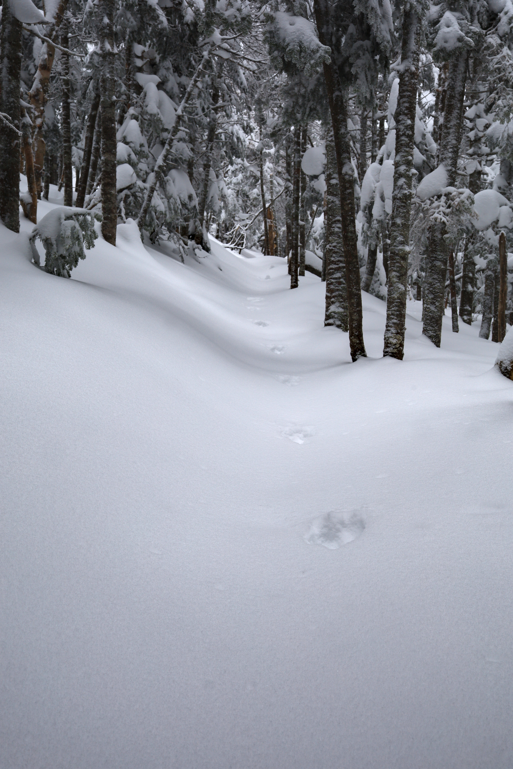
Some critter calls this spot home
A tree hanging on to the edge
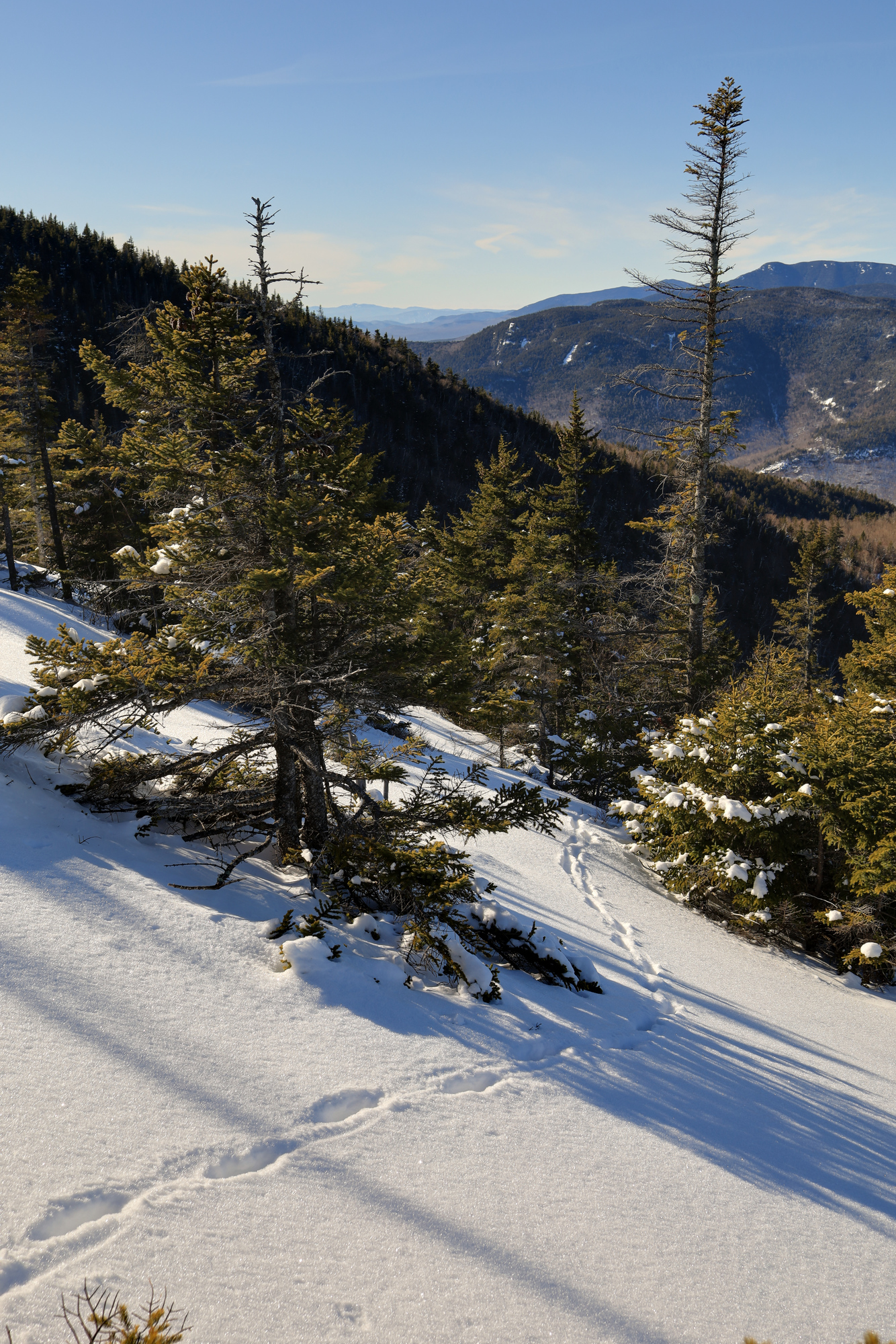
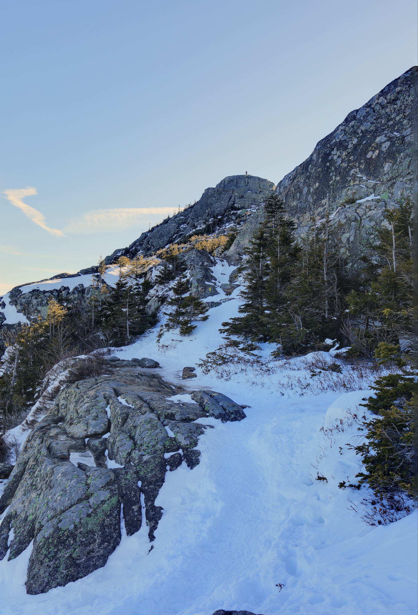
I climbed to Middle Sister, one of the minor summits and then across the ridge to Chocorua itself. On the traverse I saw even more examples of different kinds of ice. It was definitely a photographic journey, with many stops along the way.
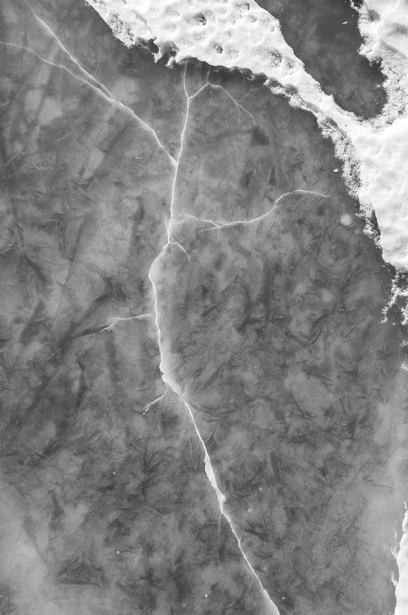
I thick sheet of ice on the trail marked with one large crack
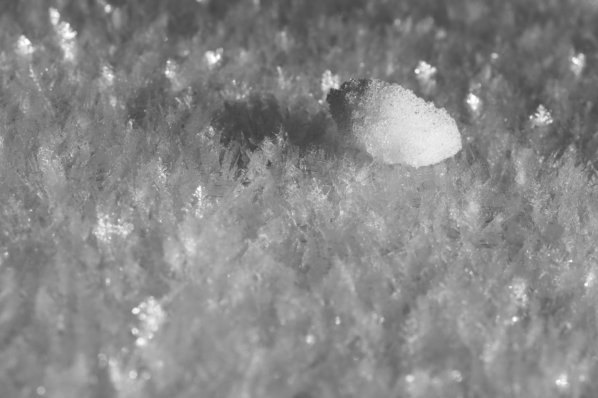
A lone tiny ice chunk laying on fresh snow
After taking some time at the summit, it was back down the mountain along the same trail. The mountain continued to impress with more incredible views (and more ice formations) along the way, but much of it was familiar at this point. Though it certainly was not crowded, there were a number of people out on the trail this day. Clearly I was not the only one who came up this this idea. Great minds think alike.
Two people enjoying the view of Mt Washington from just below the summitSome wild ice crystals hovering just above the water at one of the creek crossings on the way down
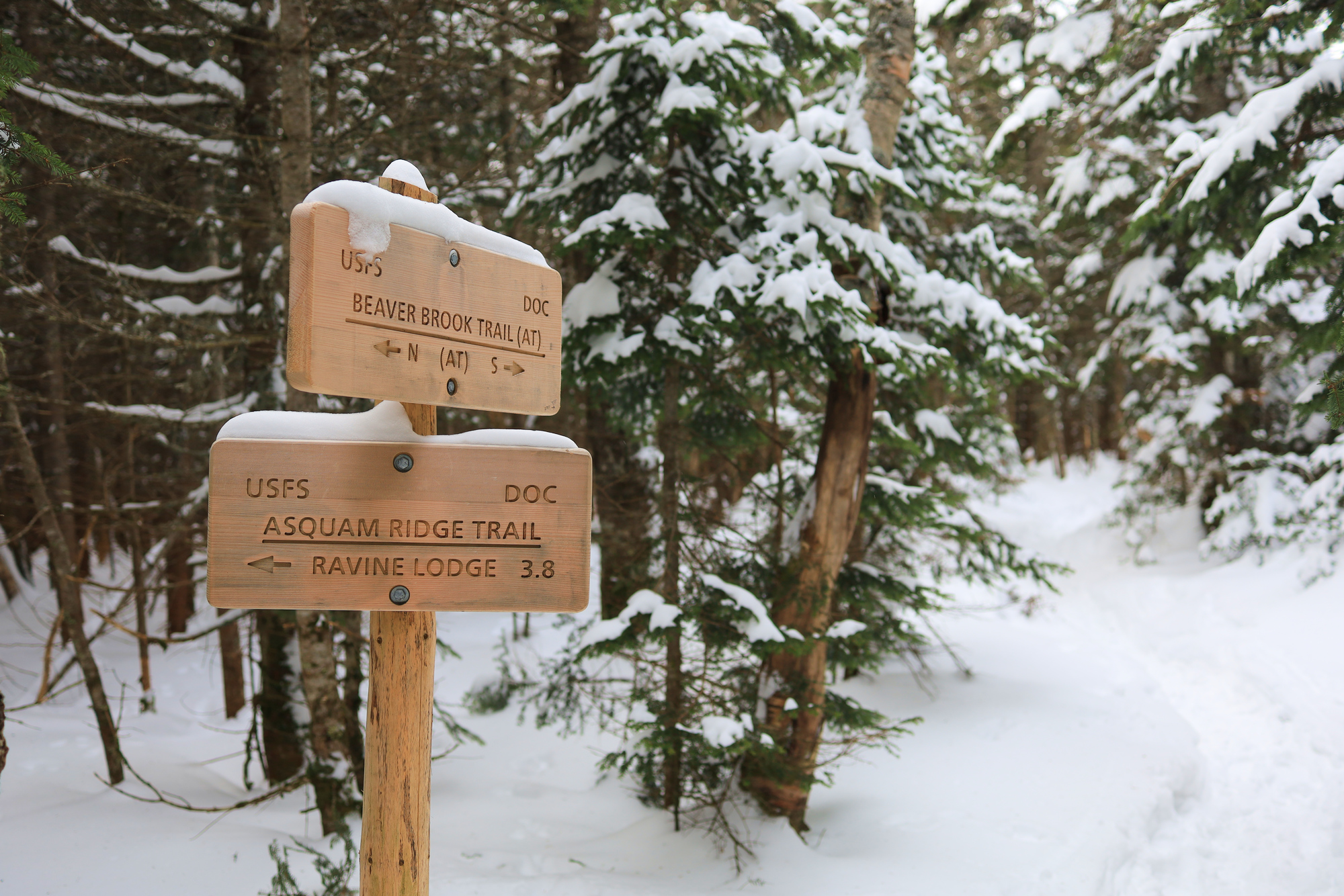
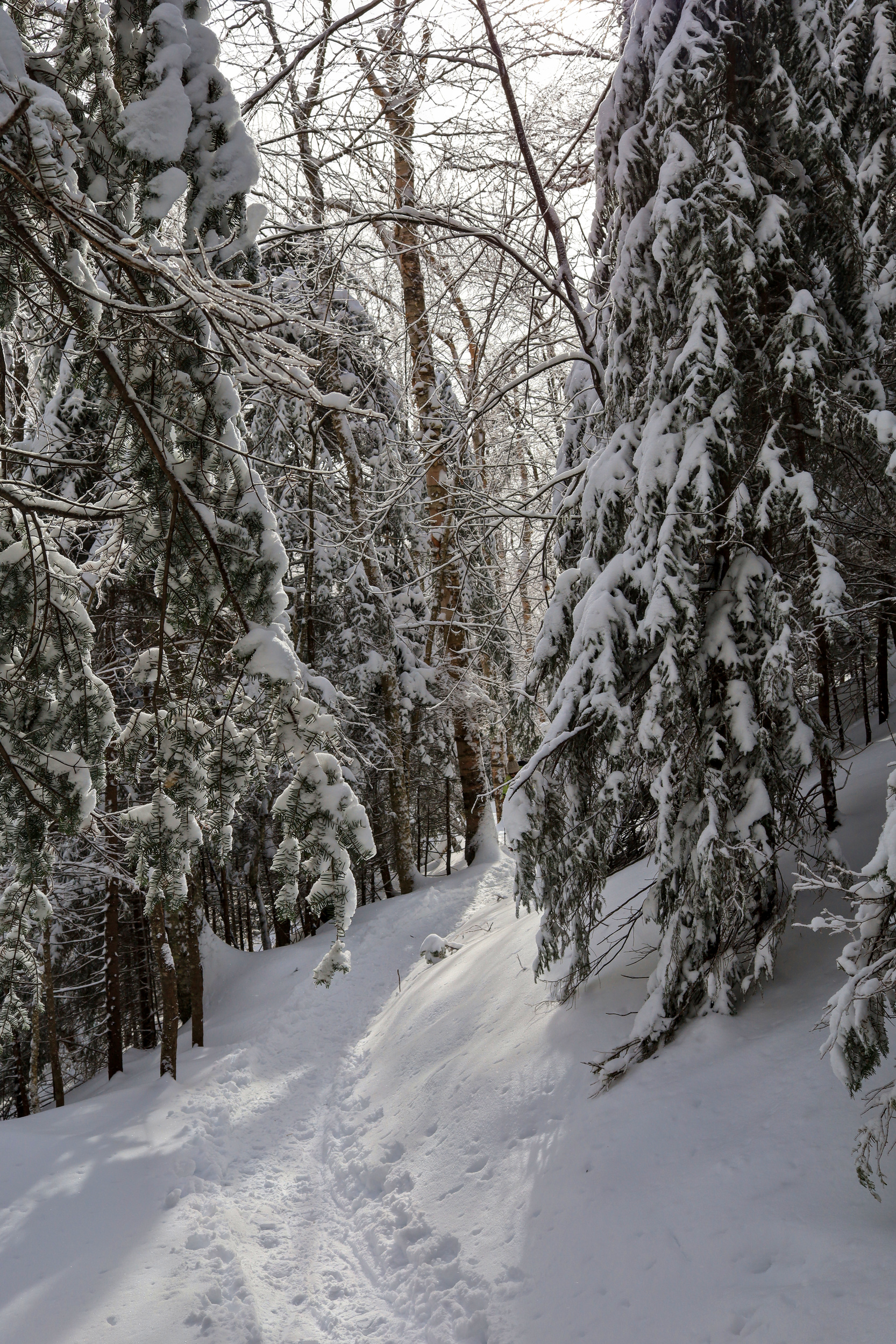
Here are a few photos from another hike up in the white mountains, this time a loop on Mt. Moosilauke. Though I have hiked this one in the past, it has been a while. On top of that, I choose a new route this time. I got started at a reasonable time and steadily worked my way up the east ridge following some bare boot tracks almost the whole way. Once I arrived at top of the ridge I hit the Appalachian Trail which, thankfully, had a much more even set of snowshoe tracks.
The junction with the AT
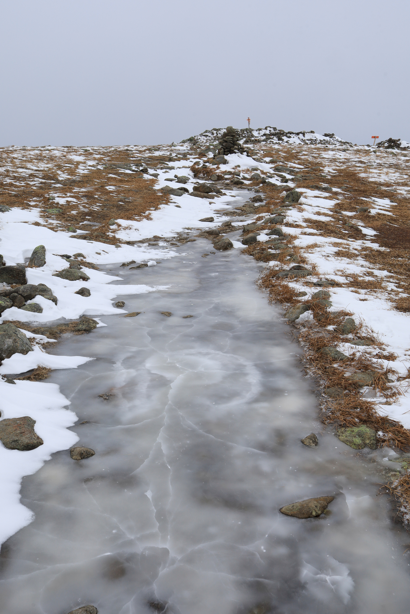
From there it was a straight forward climb to the summit. Once I broke above the treeline I was greeted with a frozen tundra landscape of scrubby grass, a dusting of snow, and a very very icy trail. The wind was gusting pretty hard, and encouraged me to quickly make my way over the summit and down the south slope of the mountain towards the car.
At least the trail is flat here…
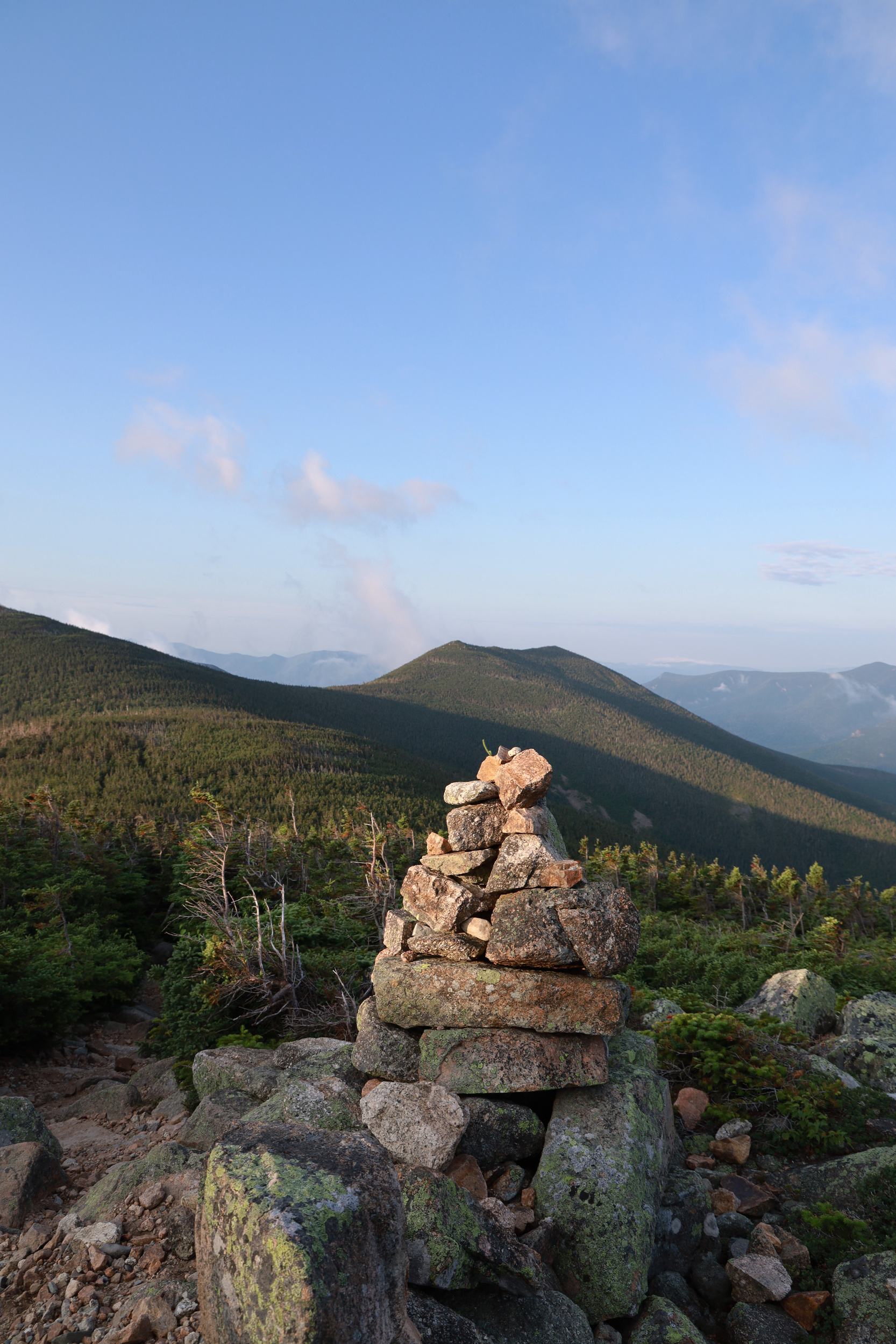
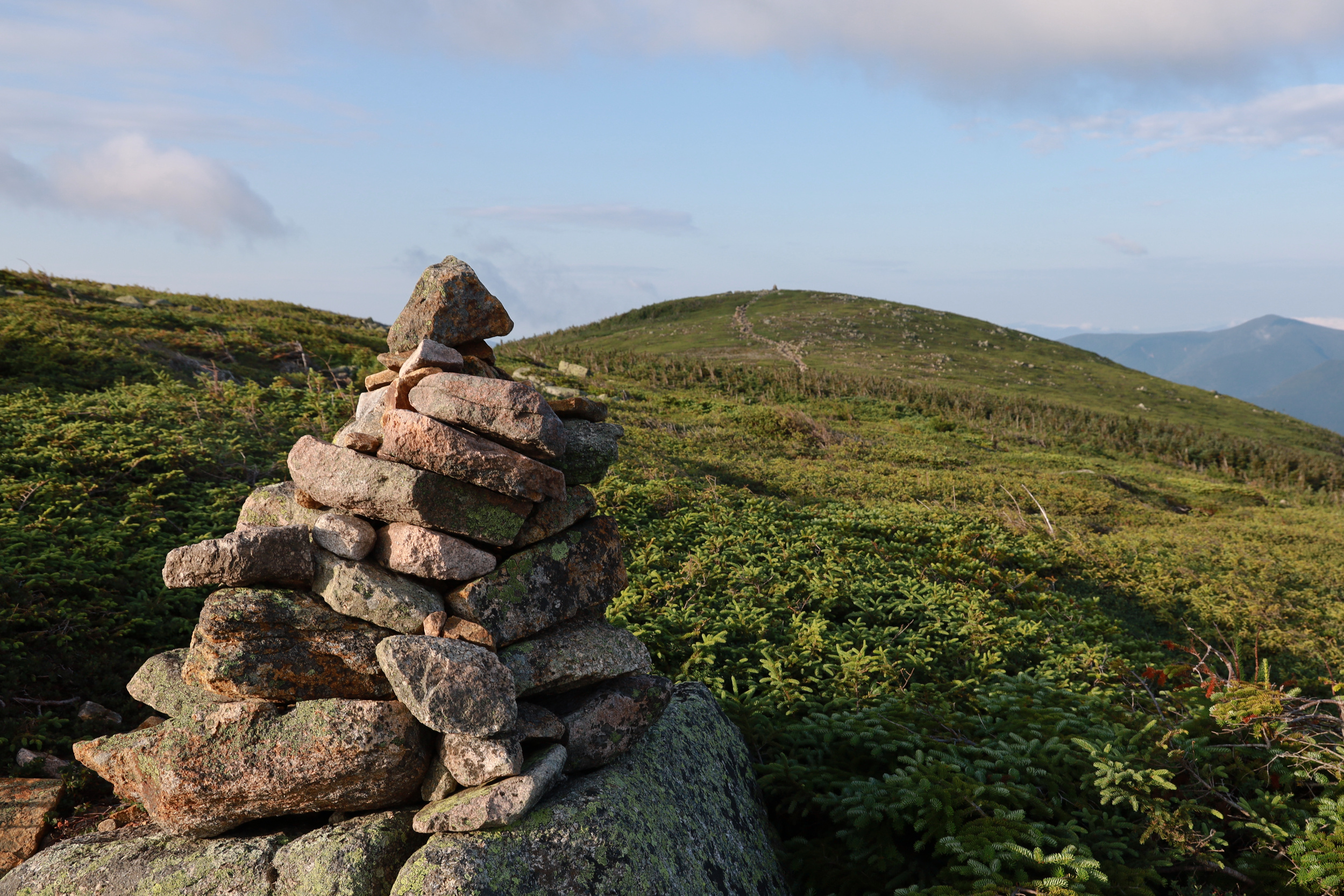
The cairns are impossible to miss this early in the season
The rest of the descent was pretty uneventful. All in all it was a fairly typical winter climb, if a little quiet. Definitely not a bad way to spend a Sunday afternoon!
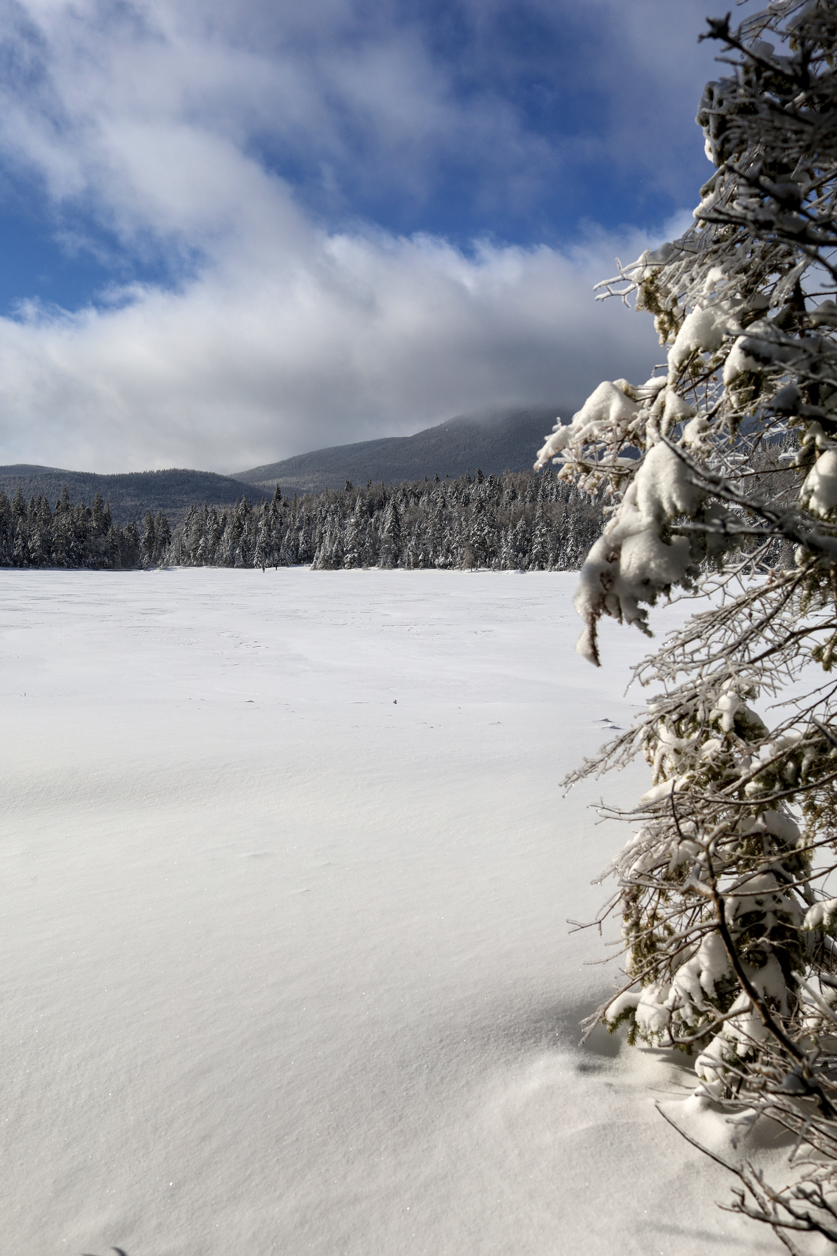
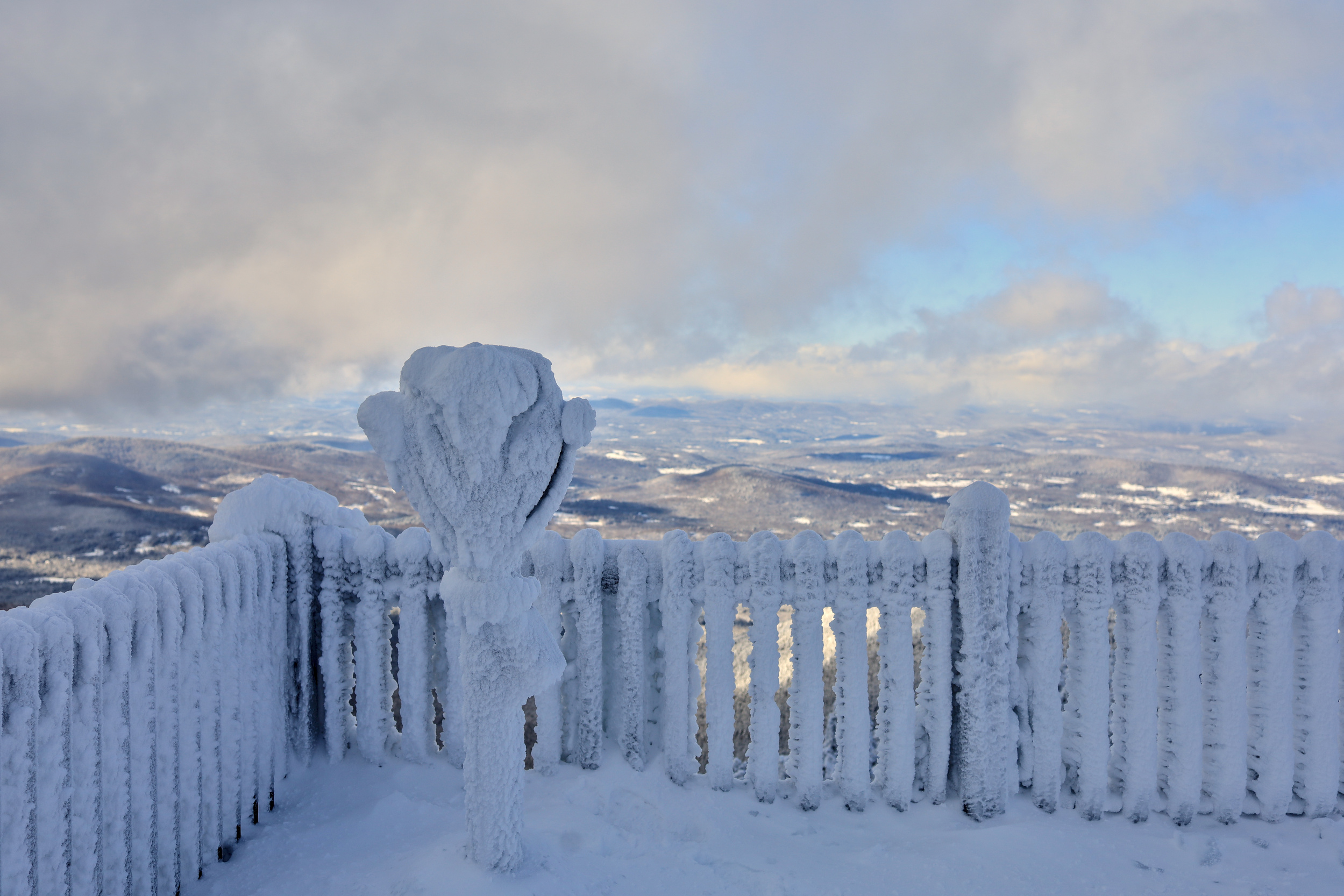
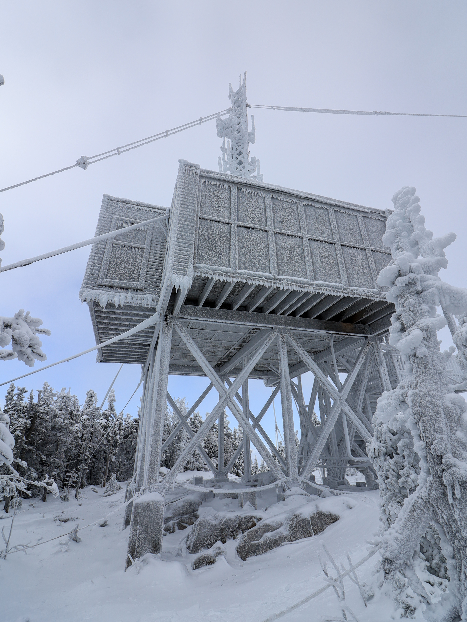
Last weekend I headed up to the whites to get another taste of real winter. This time I met up with a friend of mine and we got an early start on Mt. Carrigan. The first couple miles of the hike were along a road which is closed through the winter. The road climbed gently but steadily up into the valley. As it turns out, this really set the theme for the hike, and the gradual slope just about continued all the way to the summit. The climb was long and steady, and with the mild temperatures we had no trouble staying warm. At last we crested the ridge and got our first glimpse of the summit. The view from that exposed ridge was quite nice, even though the weather hid some of the more distant peaks.
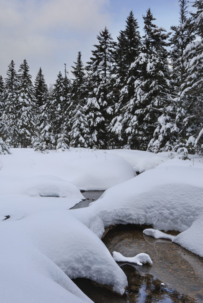
Perhaps the strangest part of the view from this ridge was how little wind there was. It was actually quite peaceful to stand there and take in the views. After taking some photos we continued up to the summit and climbed the observation tower. This turned out to be where the wind was hiding, so we started back down relatively quickly. As we descended the weather slowly improved, and we were even treated to a touch of blue sky by the time we were navigating the river crossings back at the start of the trail.
All told the hike was 14 miles, with nearly 4000′ of elevation gain. We hiked out without incident and made our way back down south to get some well deserved pizza.
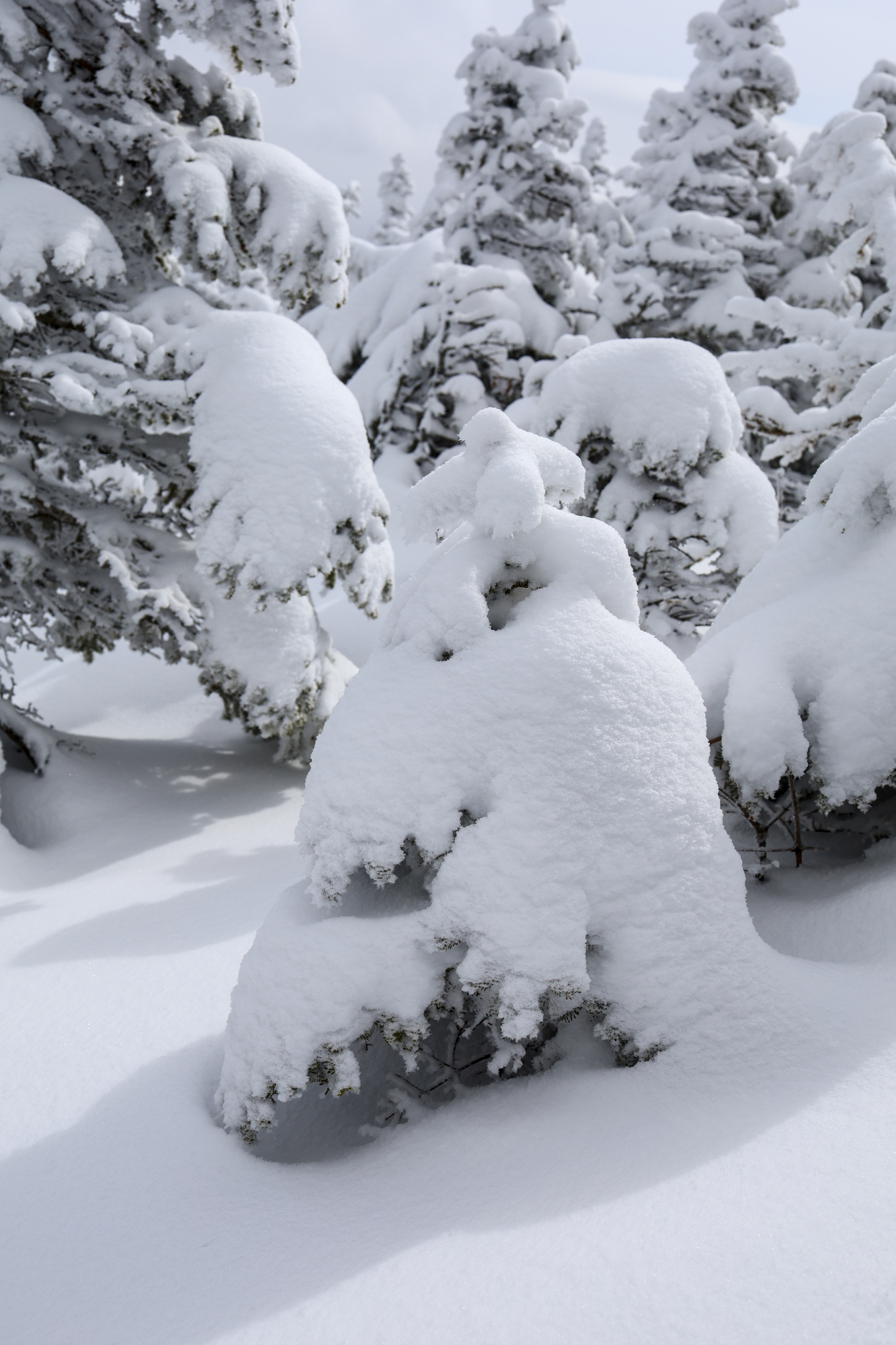
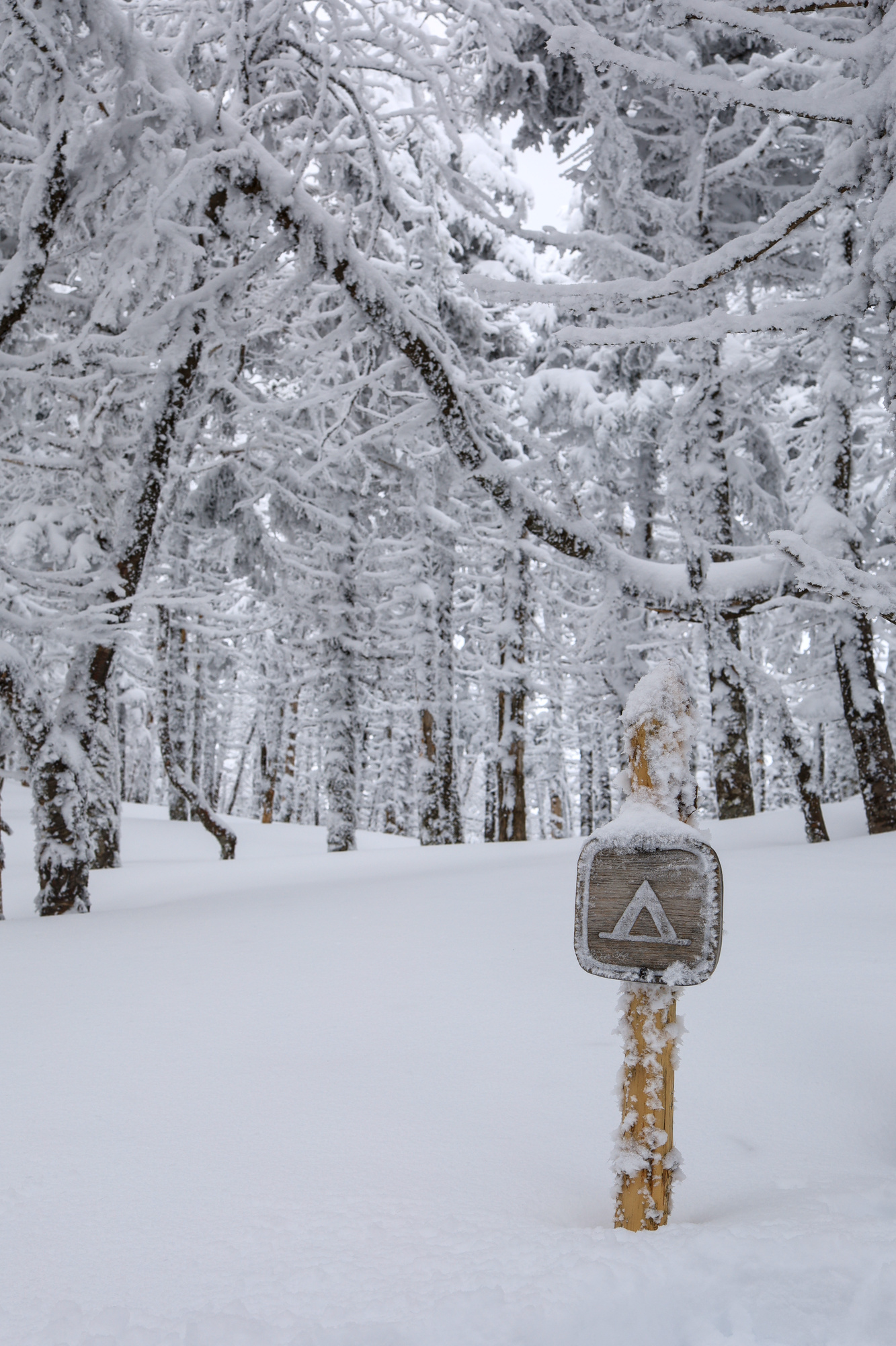
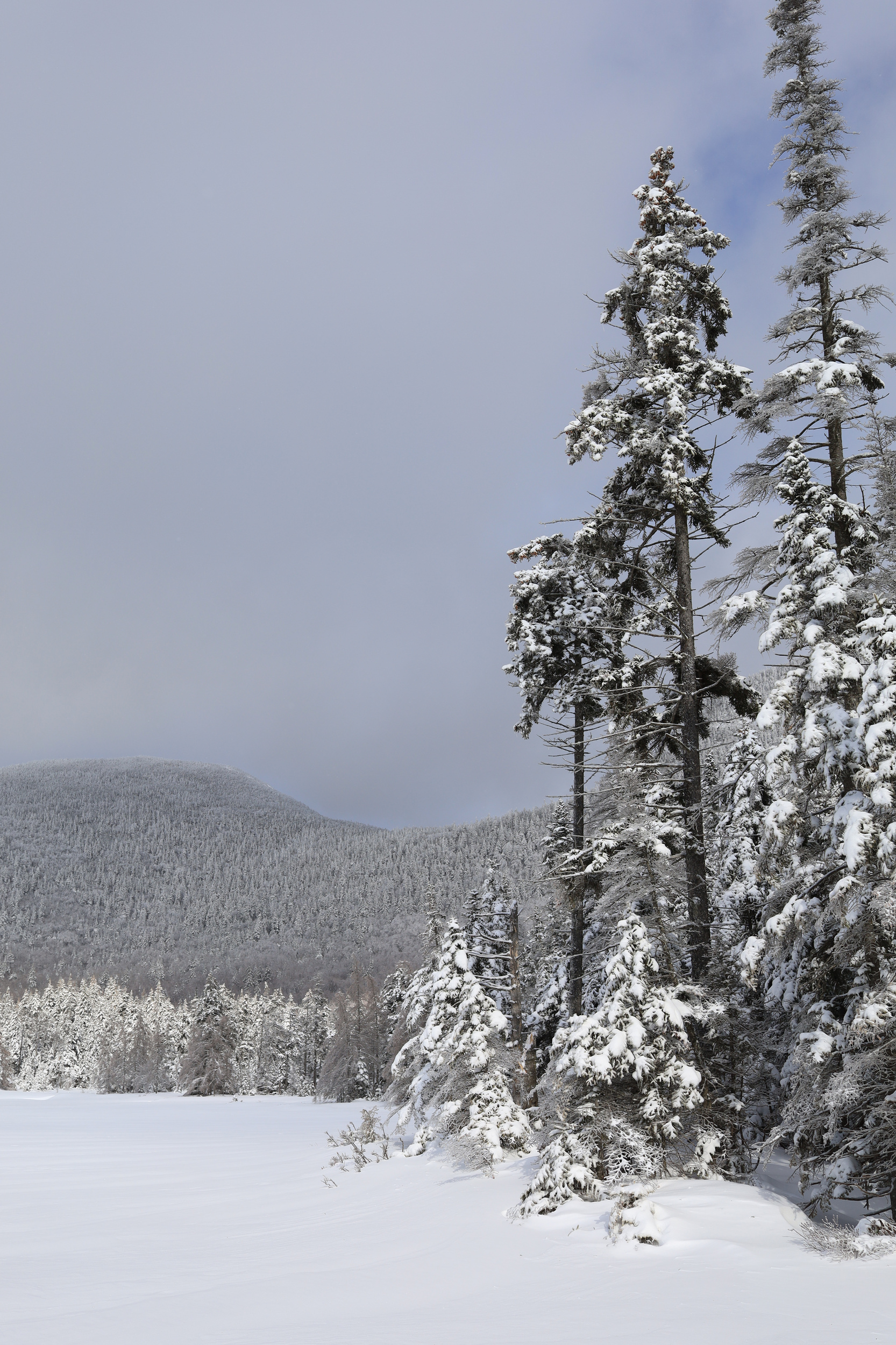
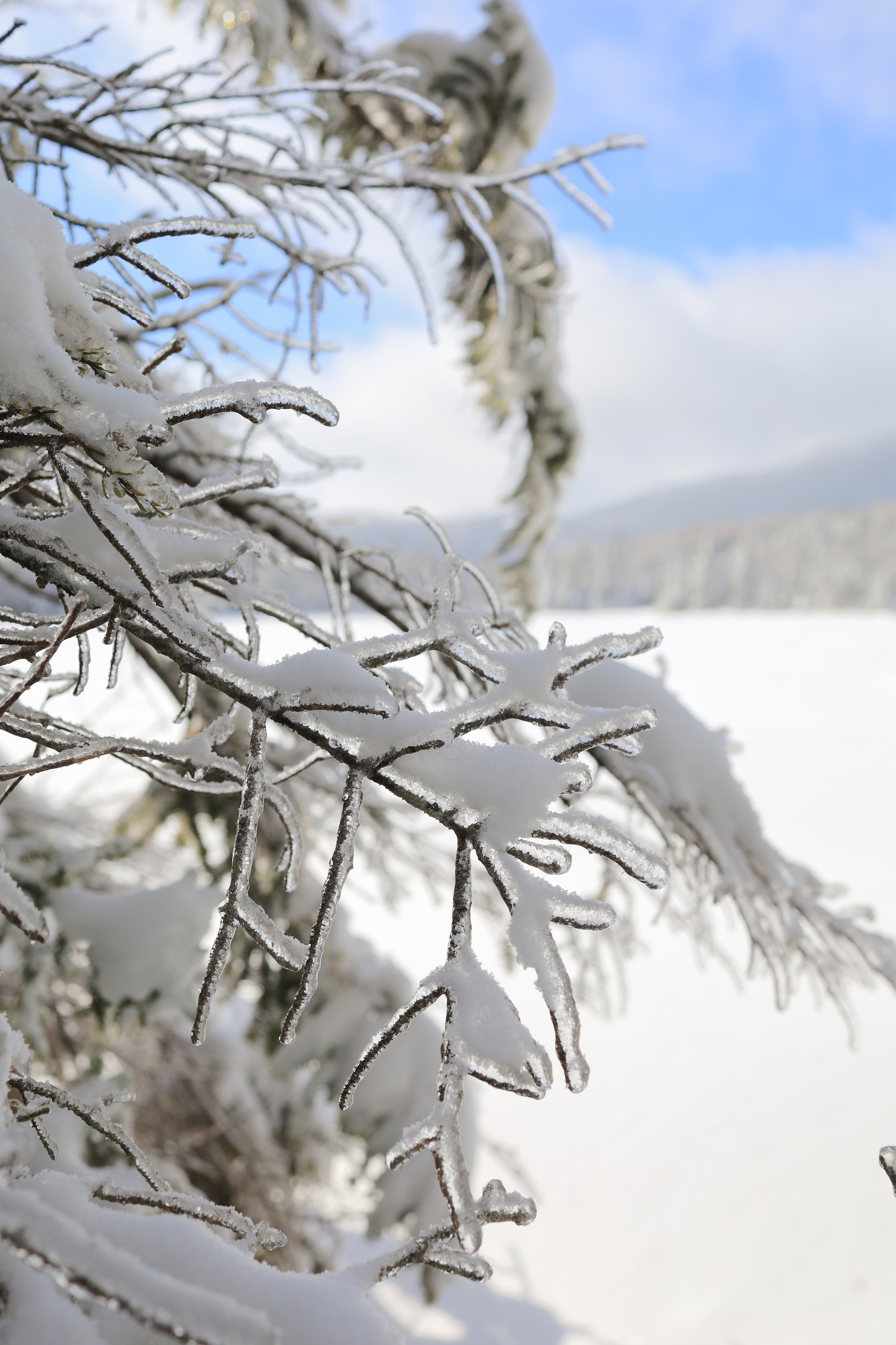
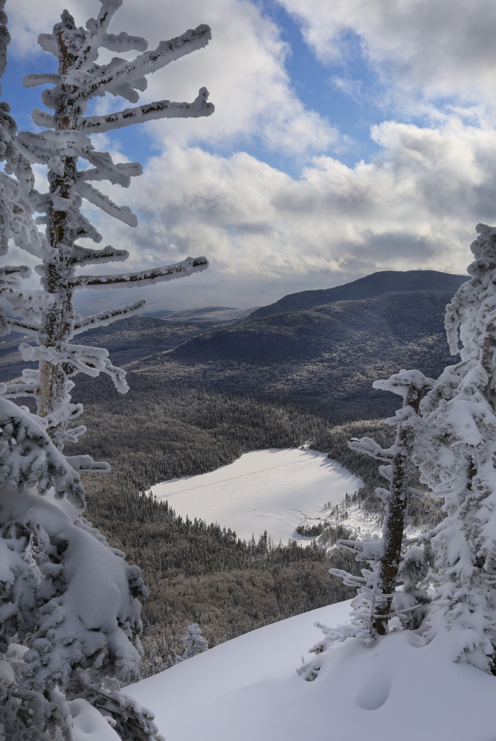
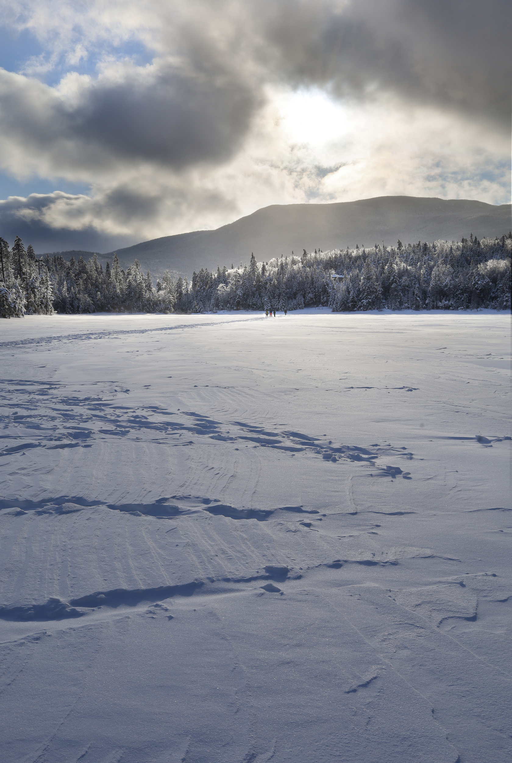
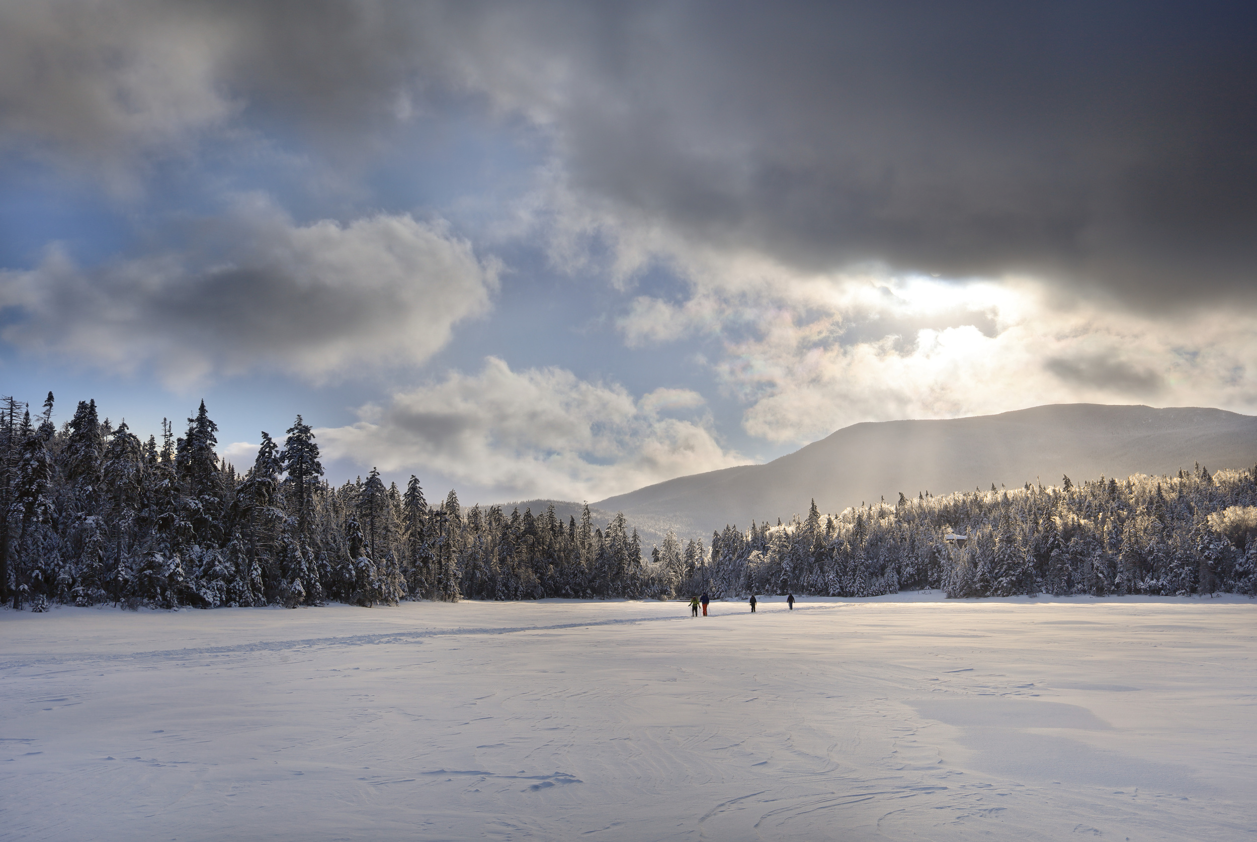
So far the winter at home has been pretty warm and rainy. Given that it is now February, I felt the need to go find some snow. I decided to head to to Cannon for a walk in the woods. I started at the Lafayette Campground, which at this time of year is completely buried in snow. From there I hiked up to Lonesome Lake, the first of a few really spectacular views.
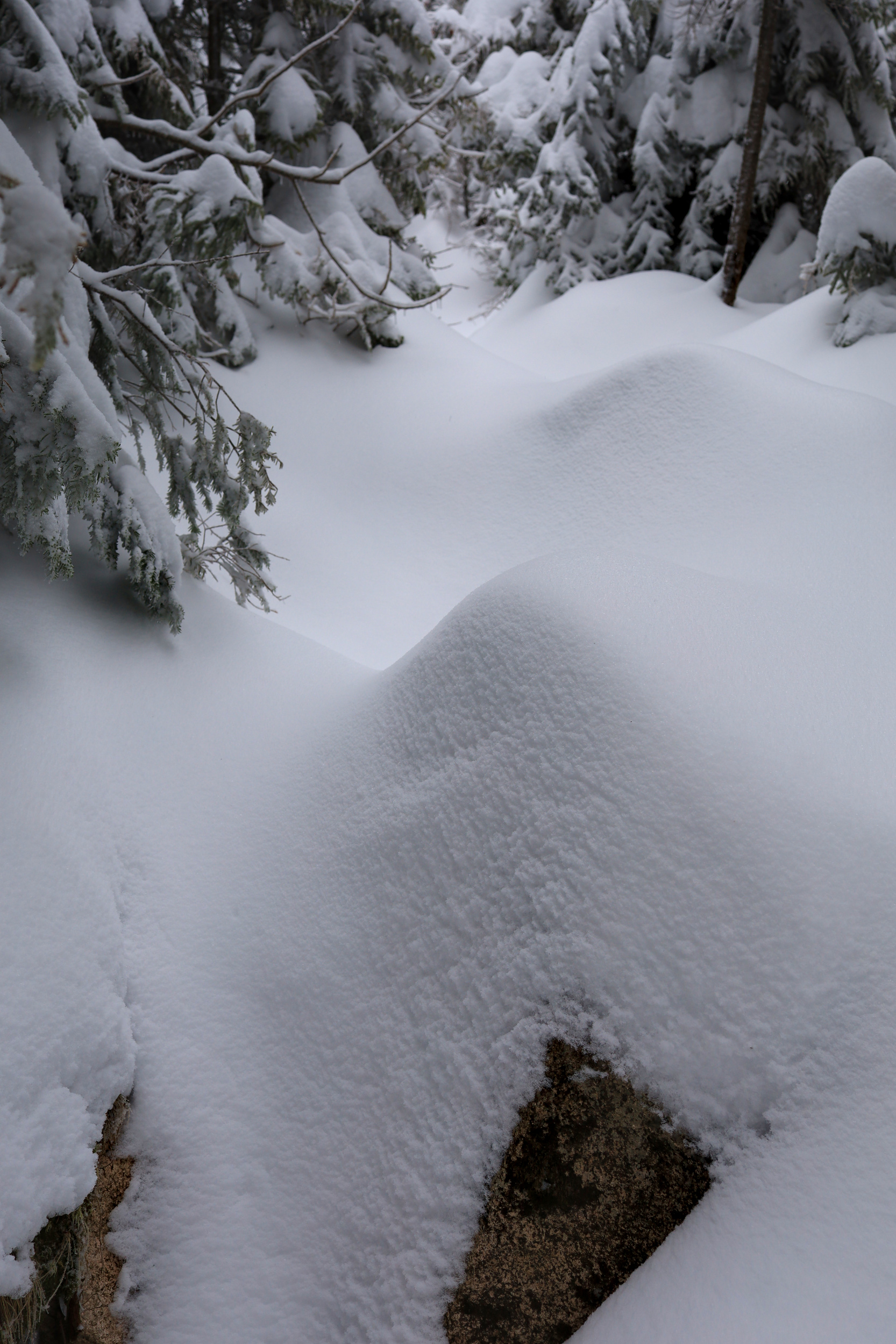
I walked around the edge of the lake taking lots of photos. I clearly was enjoying the view a bit too much, because somewhere around here I lost one of my water bottles. Oops! This was also the junction where the trail turned completely fresh, and I started breaking trail. I would highly recommend the experience to anyone who has not tried this before. There is something very peaceful about hiking through the fresh snow. You get to feel completely alone.
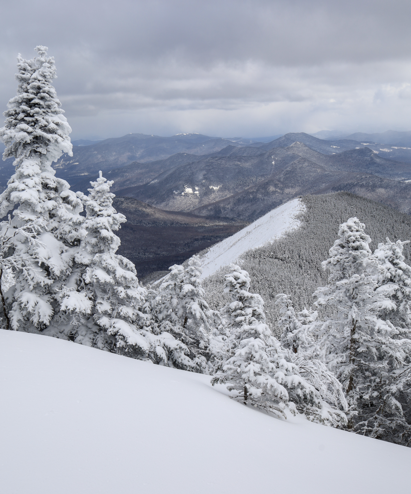
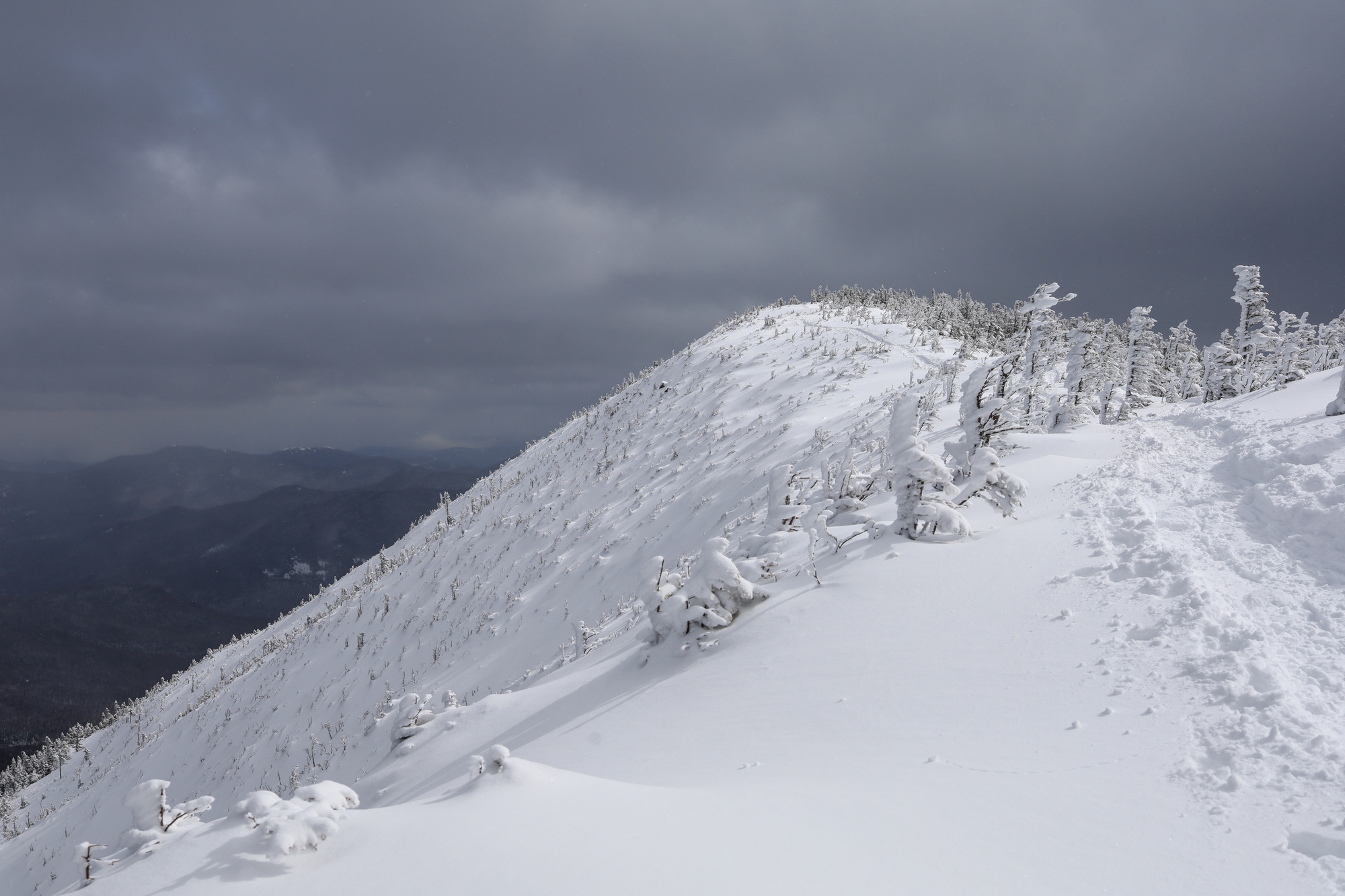
Eventually I made it up onto the ridge and decided to take a side trip up the Northeast Cannonball, a minor peak just up the ridge. This turned out to be trickier than I expected given the fresh snow and steep trail. However, I eventually made it up to the top… only to be rewarded with a very windy view of the inside of a cloud. After one obligatory picture I headed back down.
When I made it back to the trail junction, I was pleasantly surprised to find that some others had passed me, and I was no longer breaking trail. I made quick progress on the easier terrain until I caught up with the couple doing the work in front of me. We worked together for the next few minutes to get past the steepest parts of the ascent, and the soon made it to the summit. Given that Cannon has a fire tower with year round gondola access it is usually much busier than other peaks in the area, but I had it all to myself.
Given how windy it was I didn’t stay for long, but I did take a number of photos of the ever changing views of the peaks and clouds. After that, it was back down the Hi-Cannon trail. After a second unsuccessful search for my missing water bottle at Lonesome Lake, I headed home.
Projection: Rectilinear (0)
FOV: 39 x 55
Ev: 15.29
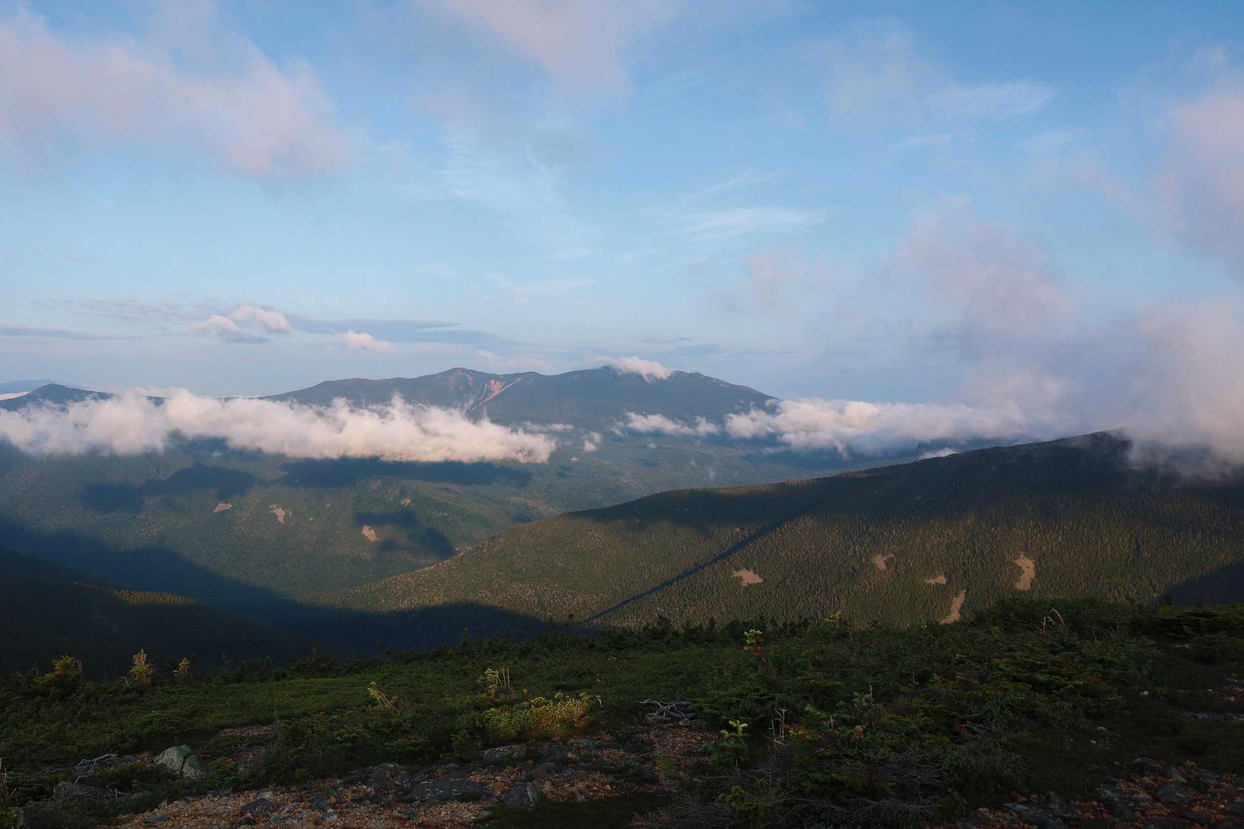
After a good night’s sleep I was ready to wake up energized and ready to take on the second day of my trek. Unfortunately, I woke up stiff and incredibly sore. It was a struggle just to stand, let along walk without feeling pain in every muscle. Given that I was already miles out in the wilderness there really wasn’t much I could do but keep going though. I figured it would be just as hard to continue on and summit the last two peaks as it would be to turn around and go back over the two I had already climbed, so I set out to do just that.
I packed up camp and made my way north to Mt. Guyot. The summit was less than impressive, but did offer a very nice view. I stopped just below the top to have a nice hot breakfast before heading on towards South Twin. The climb up the east side of South Twin went alright, but the summit was completely covered in clouds. What followed was the most difficult descent I have ever had to do. My soreness from the previous day combined with the weight of the pack and the steepness of the trail down to the Galehead Hut took a real toll on me.
After resting up again at the hut and seriously considering buying the $100+ pair of hiking poles they had on sale, I continued on down. I took another break at the Thirteen Falls Campground where I was able to dip my feet in the water and relax in the sun. It felt great. With that all that was left was a gently descending 8 mile hike out along the old railroad beds past a number of river crossings and small ponds. It was a relief to be off the steep grades, but I can’t say it was easy given the condition I was in at that point. I can say however that I made it out, and in the end I had a great time.
Projection: Cylindrical (1)
FOV: 187 x 69
Ev: 11.94
Projection: Cylindrical (1)
FOV: 208 x 74
Ev: 11.27
Projection: Cylindrical (1)
FOV: 360 x 97
Ev: 15.27
Projection: Rectilinear (0)
FOV: 74 x 53
Ev: 13.28


FOV: 35 x 49
Ev: 9.29")


FOV: 39 x 55
Ev: 15.29")


FOV: 187 x 69
Ev: 11.94")

FOV: 208 x 74
Ev: 11.27")

FOV: 360 x 97
Ev: 15.27")

FOV: 74 x 53
Ev: 13.28")