Exploring Chiricahua National Monument – Echo Canyon to the Heart of Rocks

The main reason we traveled out to Arizona at this time was to get a chance to spend some time with my parents. Given the airline travel and our quarantine requirements, we were keen to find as many ways as we could to spend time together in a safe way. One idea that immediately got traction was a camping trip to Chiricahua National Monument. It has been a recent favorite for my parents, and high on my list as well. I took a couple of days off of work and drove down to the mountains to set up camp.

Approaching the Chiricahua Mountains

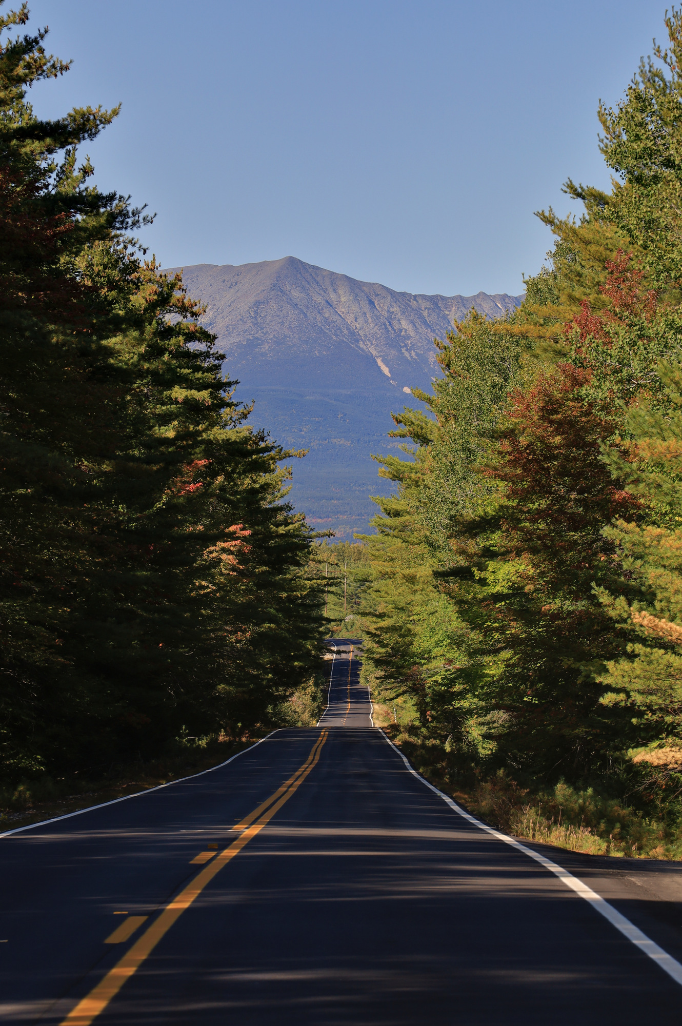
The drive out was only a few hours, and took me through a range of classic Arizona scenery, with mountains separated by large dry valleys. After arriving at the mountains I found a back country camp site in the national forest and set up camp to wait for my parents to arrive. Though I ended up being more complicated than expected to find, we eventually met up, had dinner and relaxed by the camp fire to make plans for the next day.

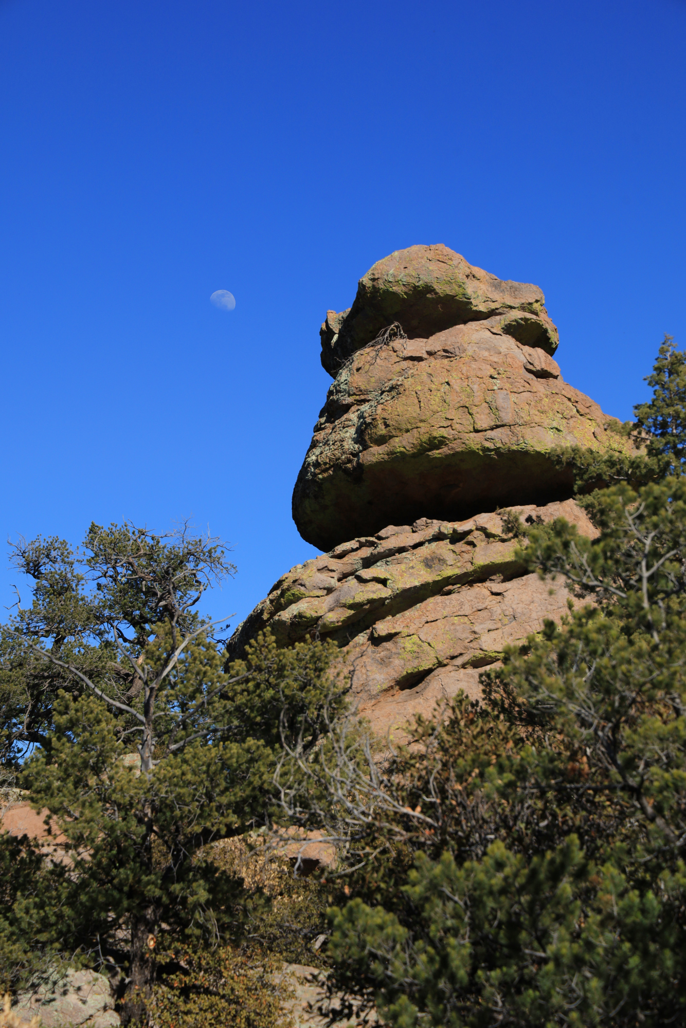
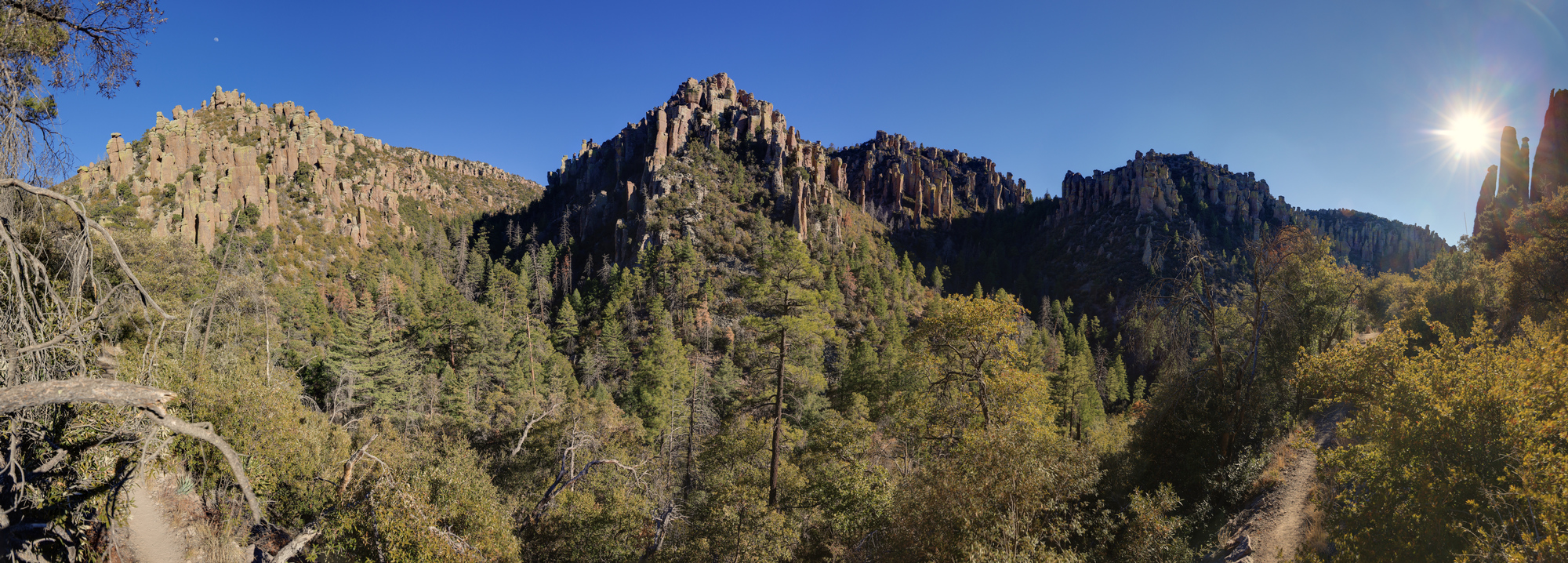
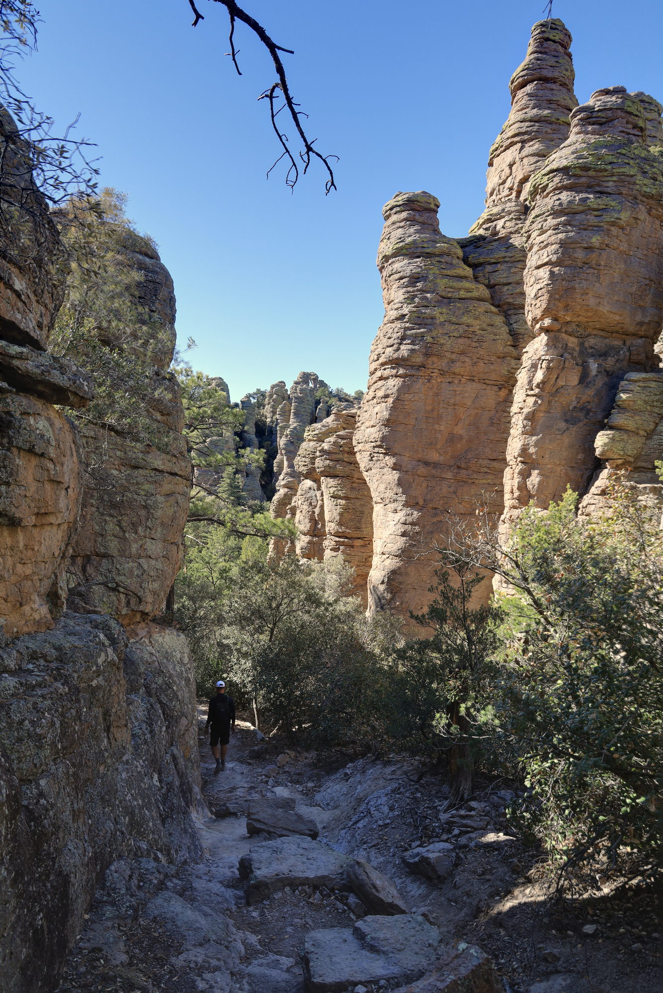
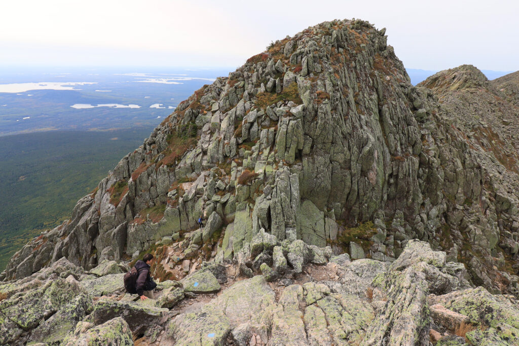
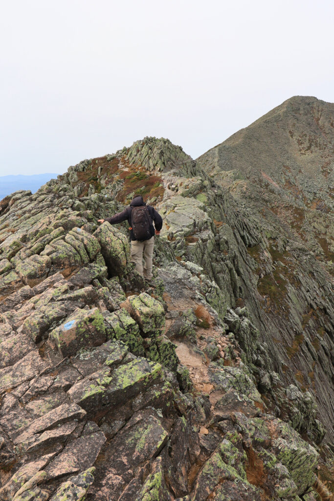
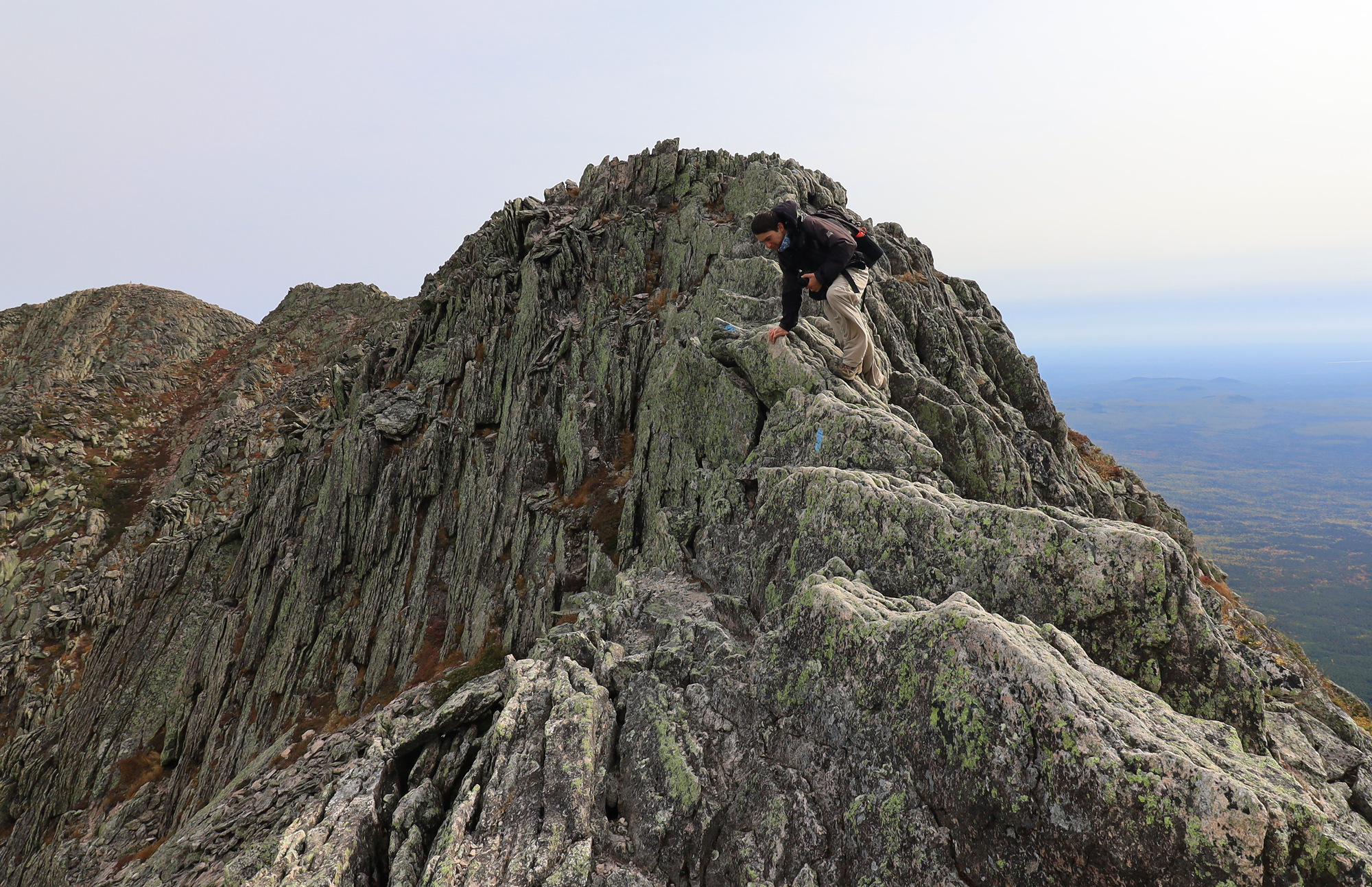
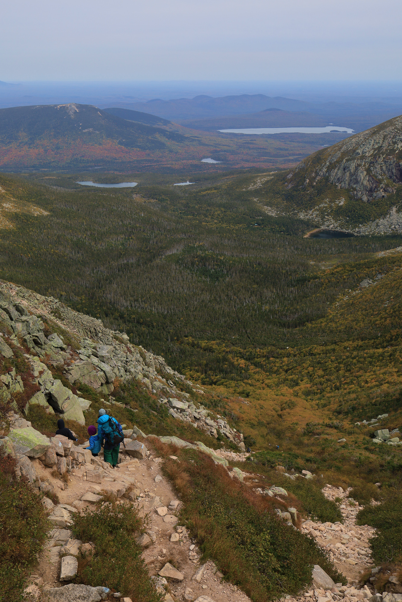
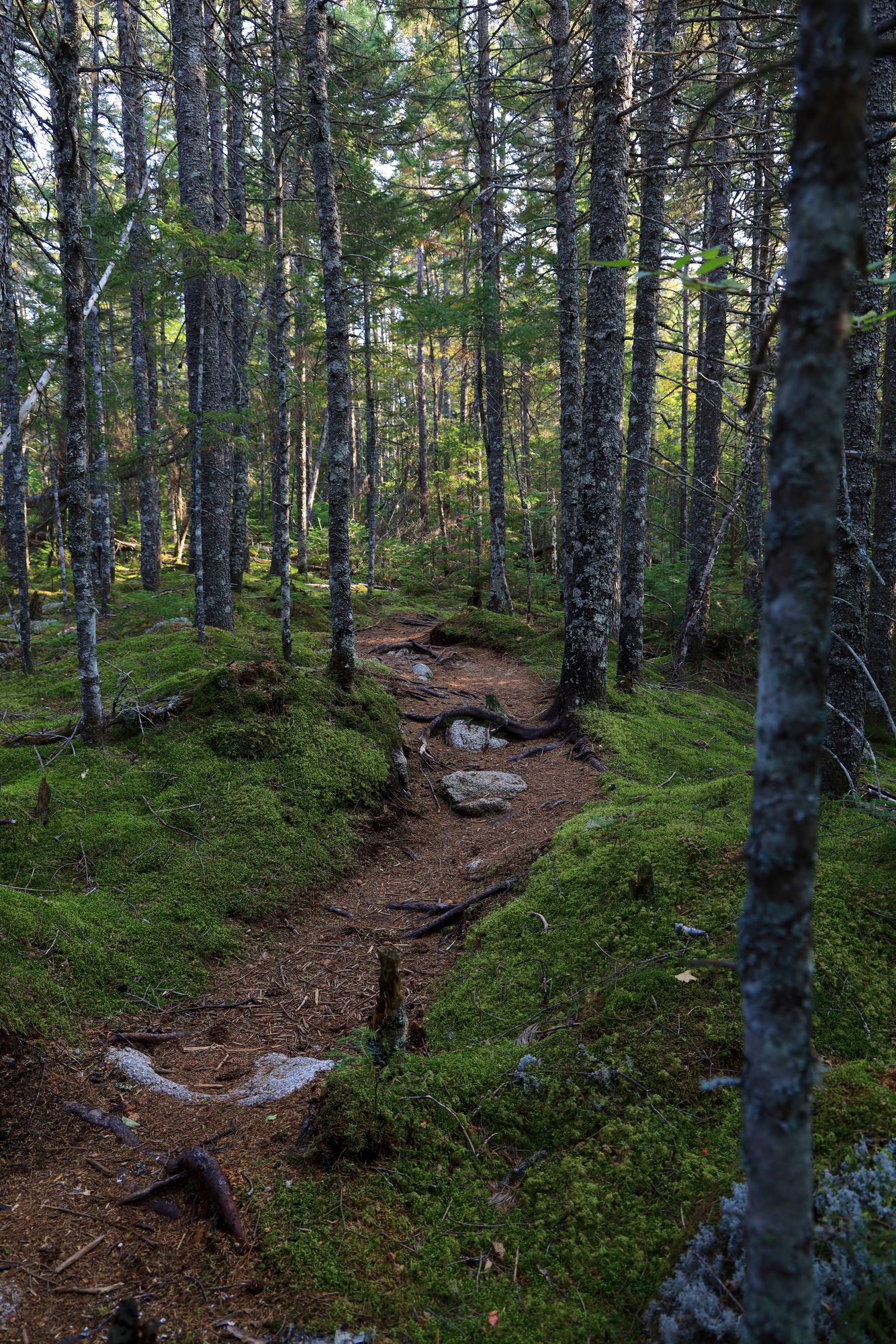
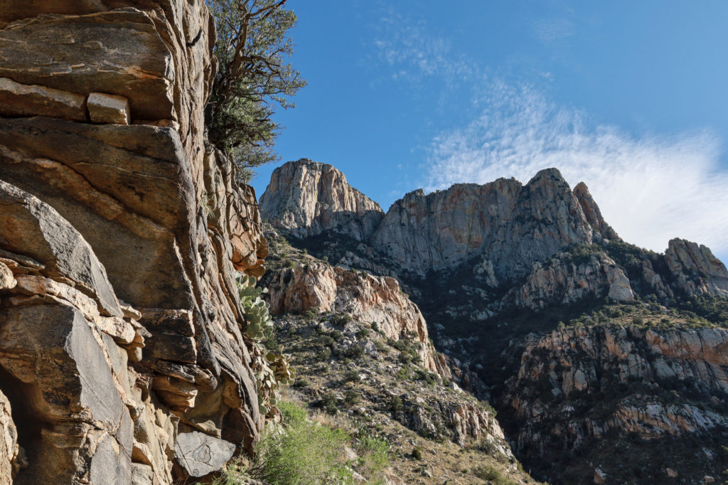
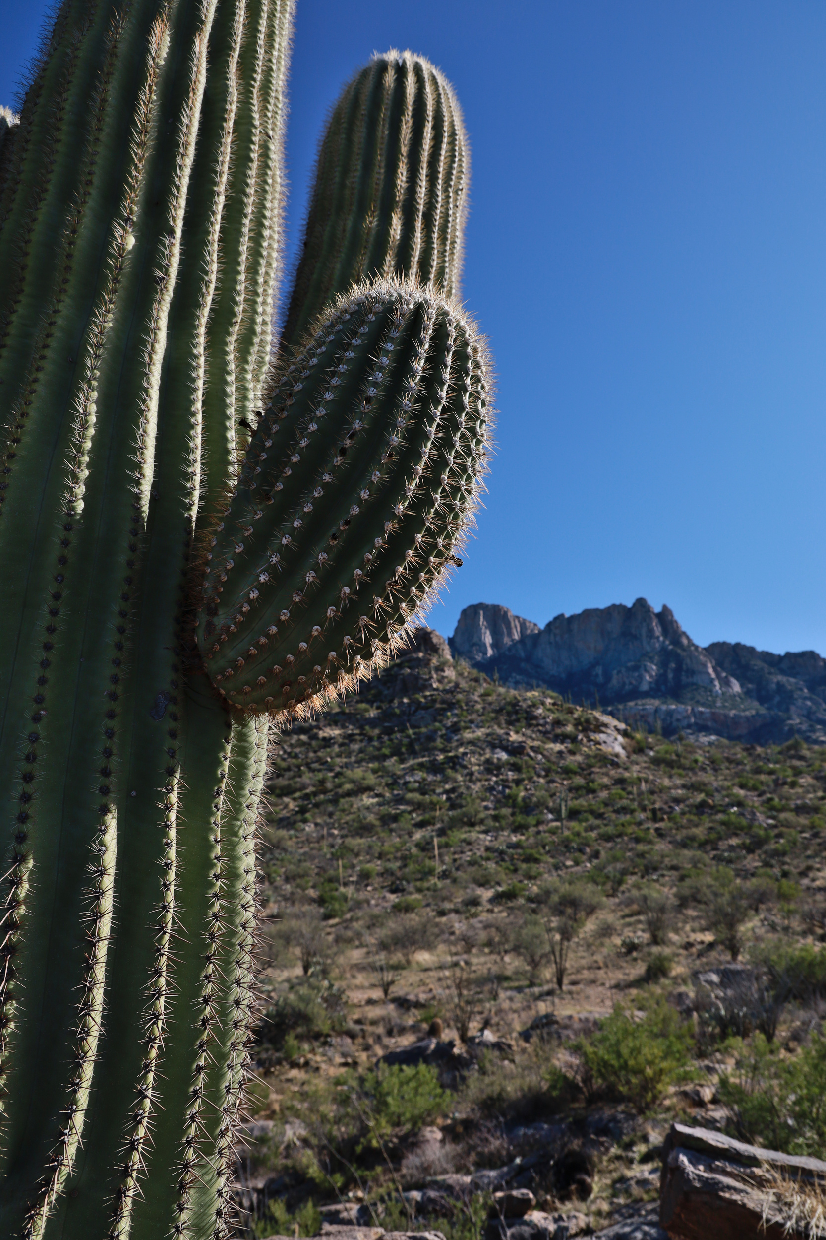
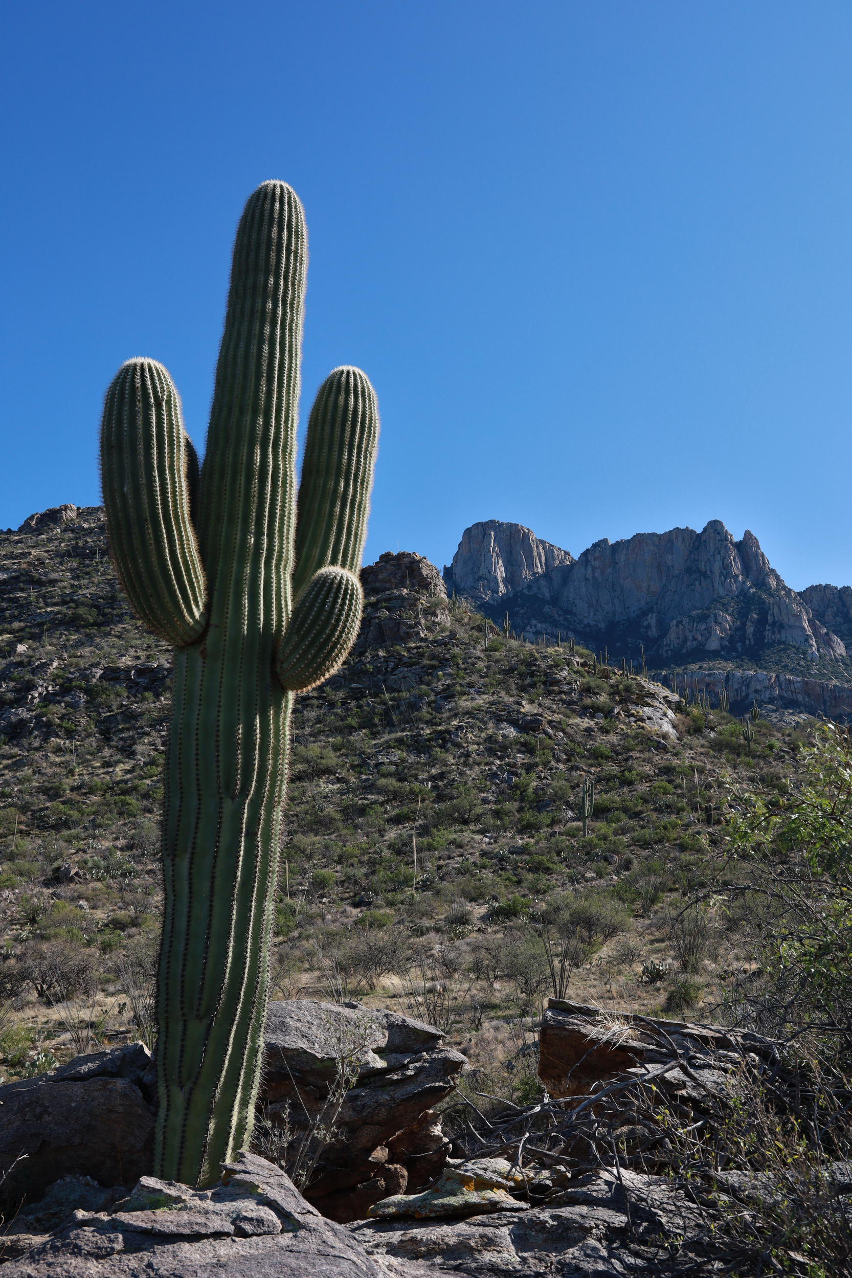
The next morning my dad and I headed up into the park to go for a nice long hike through the hoodoos. Our goal was to do a long loop to the Heart Of Rocks loop. From everything we had heard and from my parent’s previous experience this part of the park had the best views of the rock formation. We started off at the Massai Point trail head and hiked out along the Echo Canyon Trail. It did not take long for me to be impressed by this landscape. As we started to descend into the canyon the hoodoos rose all around us. They came in a wide variety of shapes and sizes. It was all reminiscent of more famous destinations like Bryce Canyon, but without all the crowds.

A view of the hoodoos from inside Echo Canyon

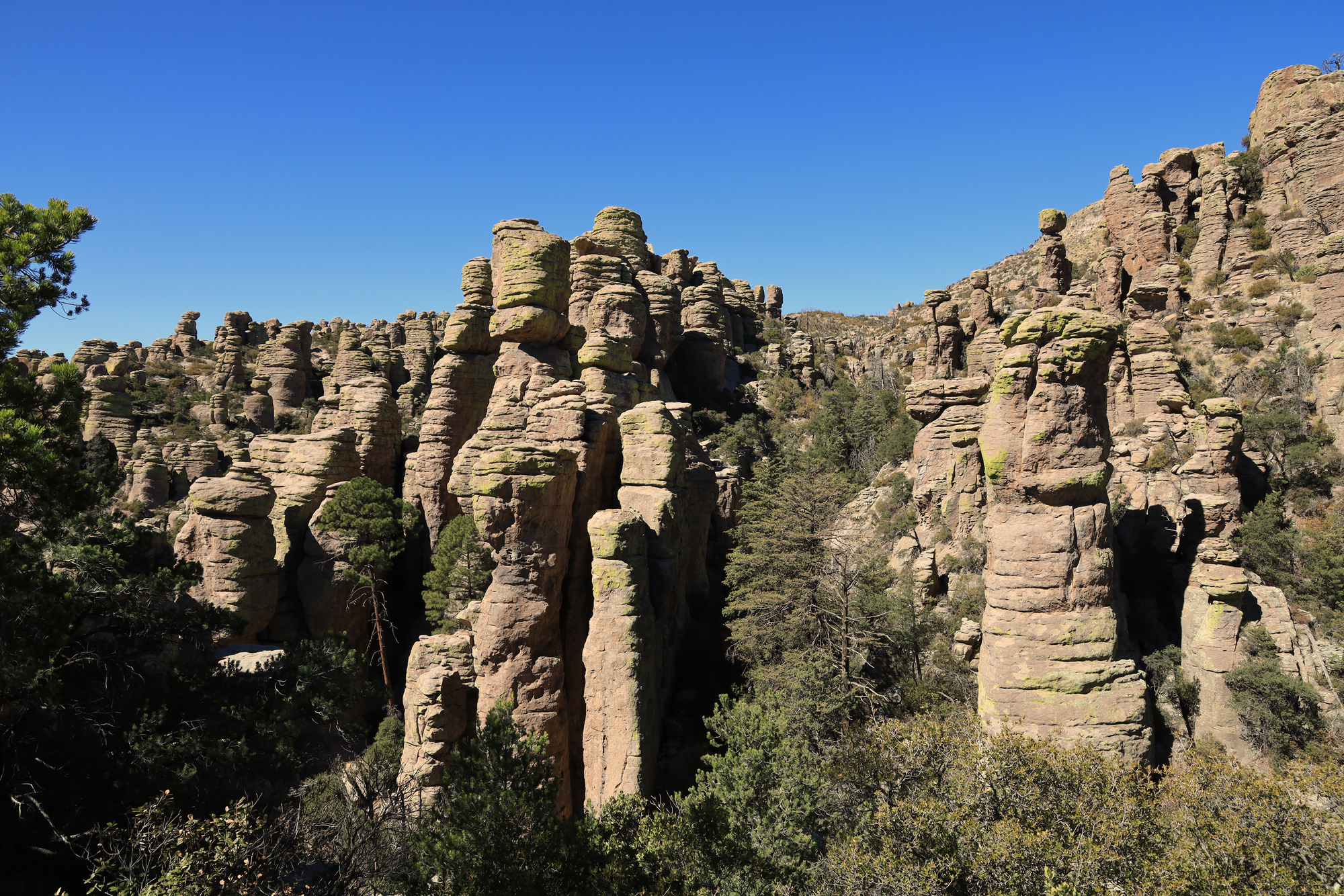
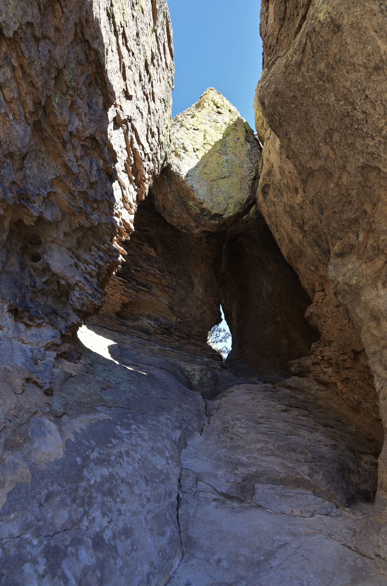
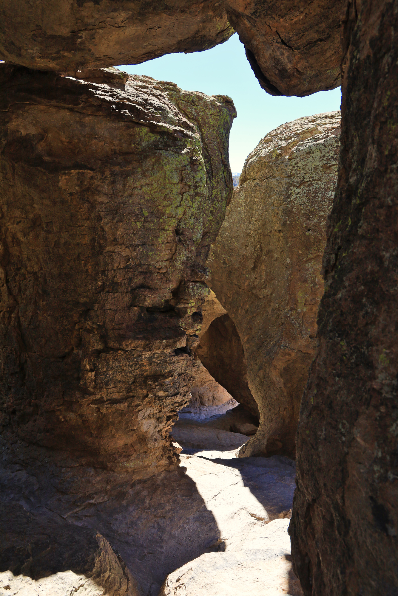
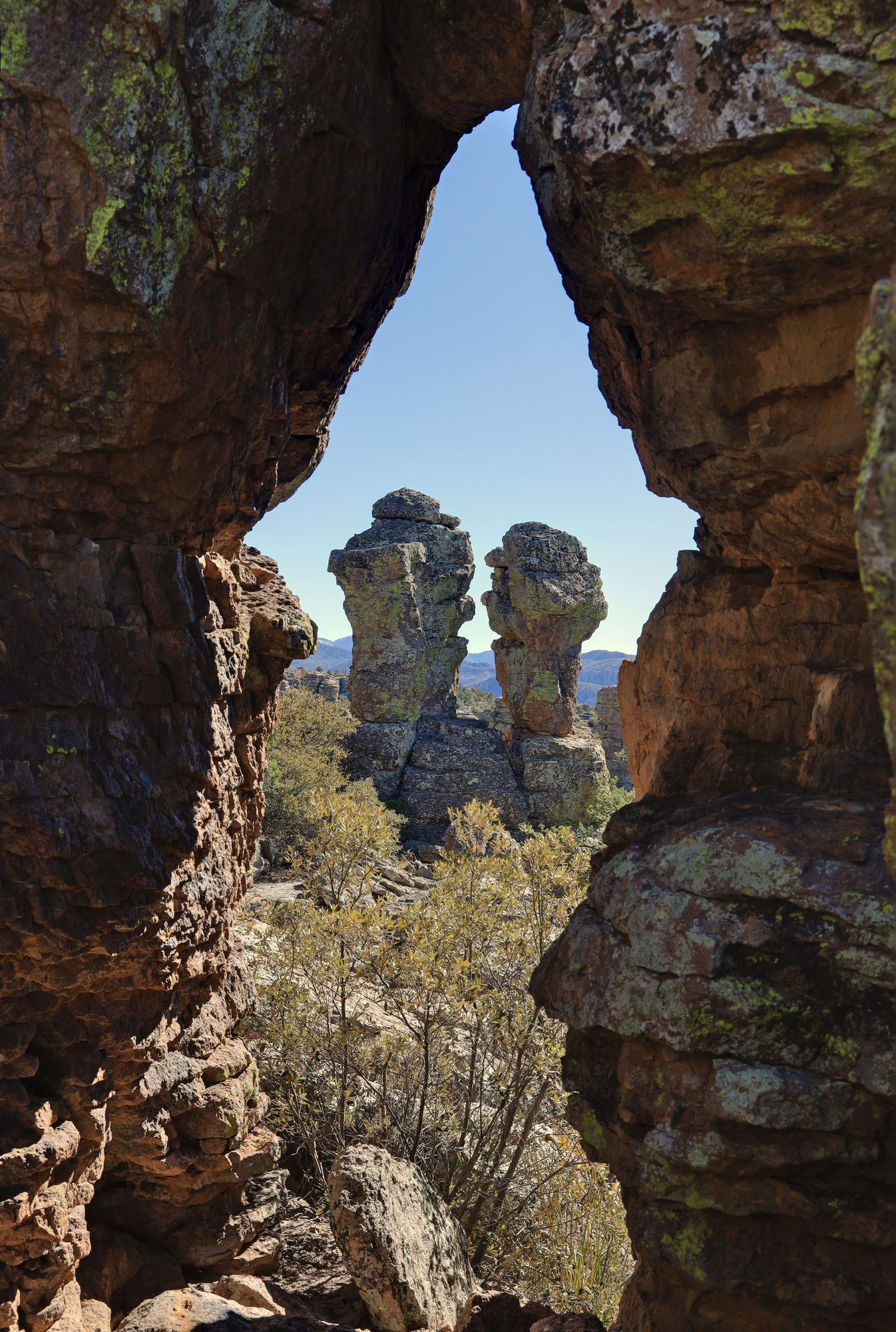
The trail had more than just views of hoodoos though. Right off the bat you are treated to a formation called the Grotto, which consists of a number of stone arches, and boulders stuck between the hoodoos forming a system of small caves. The trail goes right past the Grotto, so its easy to climb around in the middle of it exploring the different passages. By the time we made it down into the main descent it was clear that this would be a spectacular hike.

This boulder hardly looks like there is anything holding it up
Looking down through the arches of the grotto

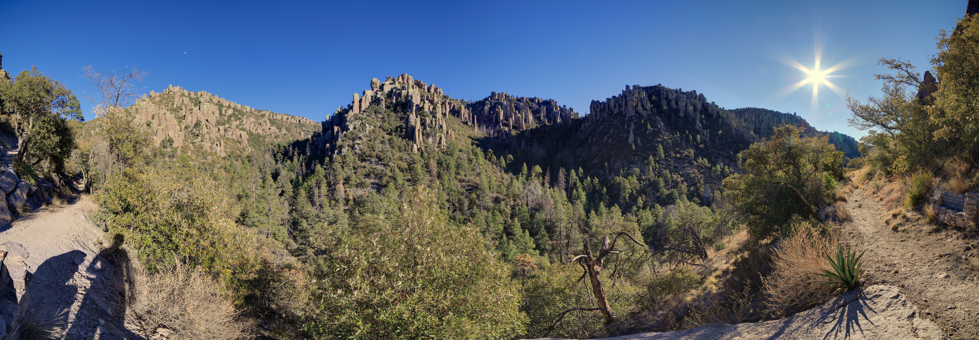
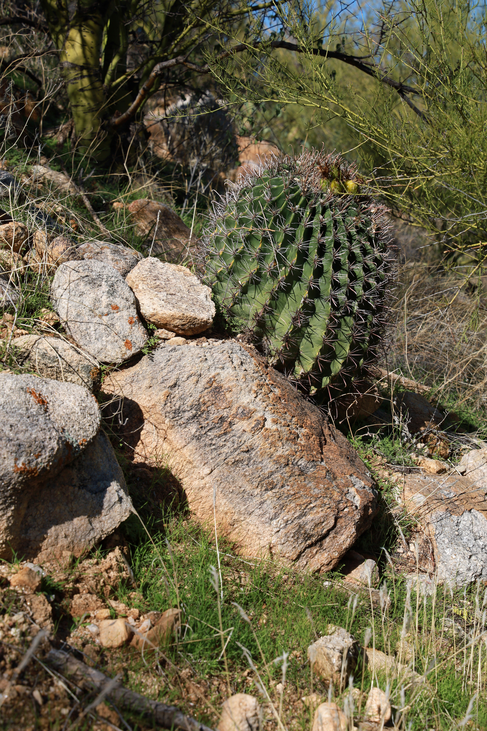
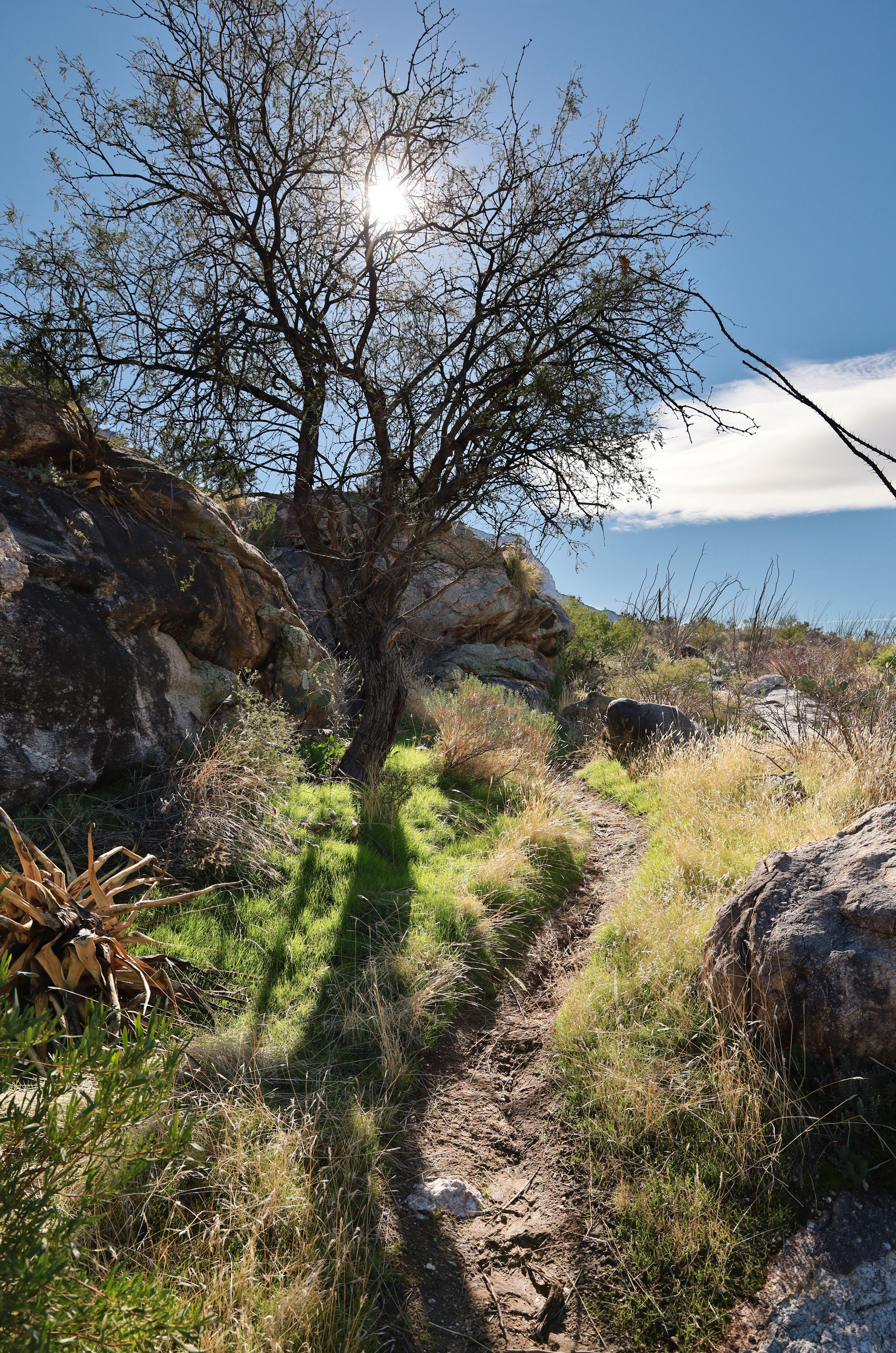
After descending to the bottom of the canyon the trail flattened out a bit and we started traversing across the valley to the Sarah Deming Trail. It was a long gradual descent, followed by a long gradual ascent up the other side as we made our way over to the Heart of Rocks. This portion of the trail was still very pretty, though in a different way. There were far more trees and undergrowth. It felt more alpine, even though we were lower than when we started.

Echo Canyon on the right, with Rhyolite Canyon on the left
A very friendly Spotted Towhee that lives at the bottom of Echo Canyon

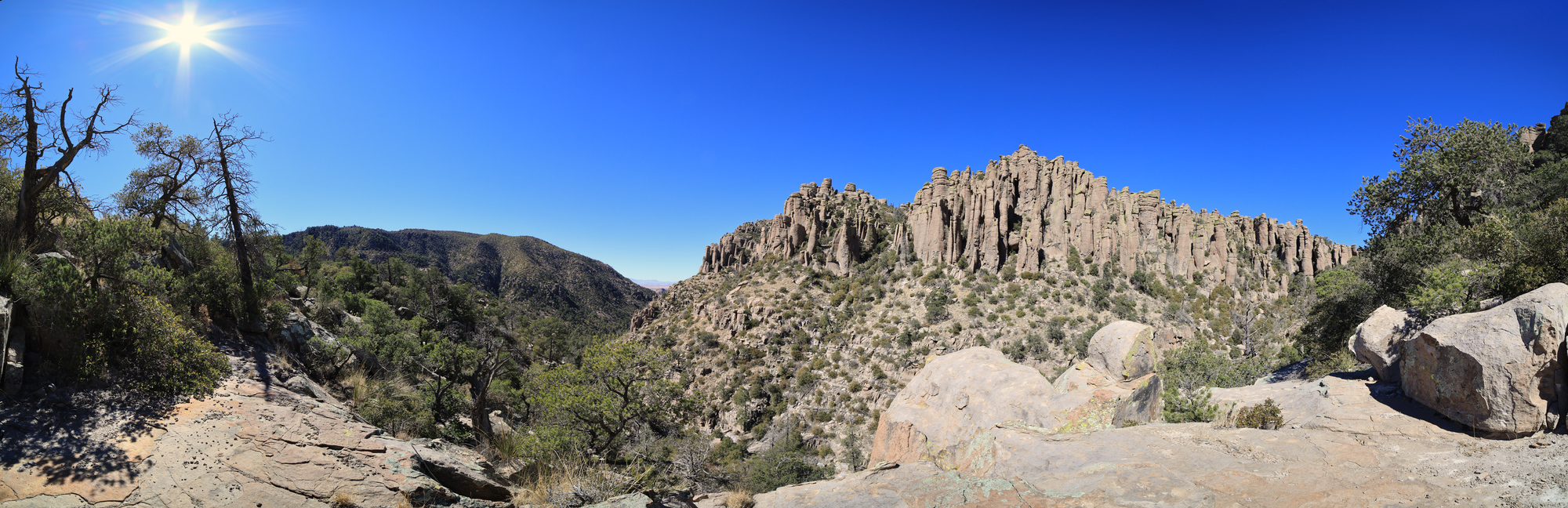
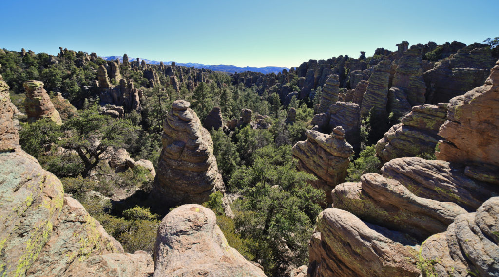
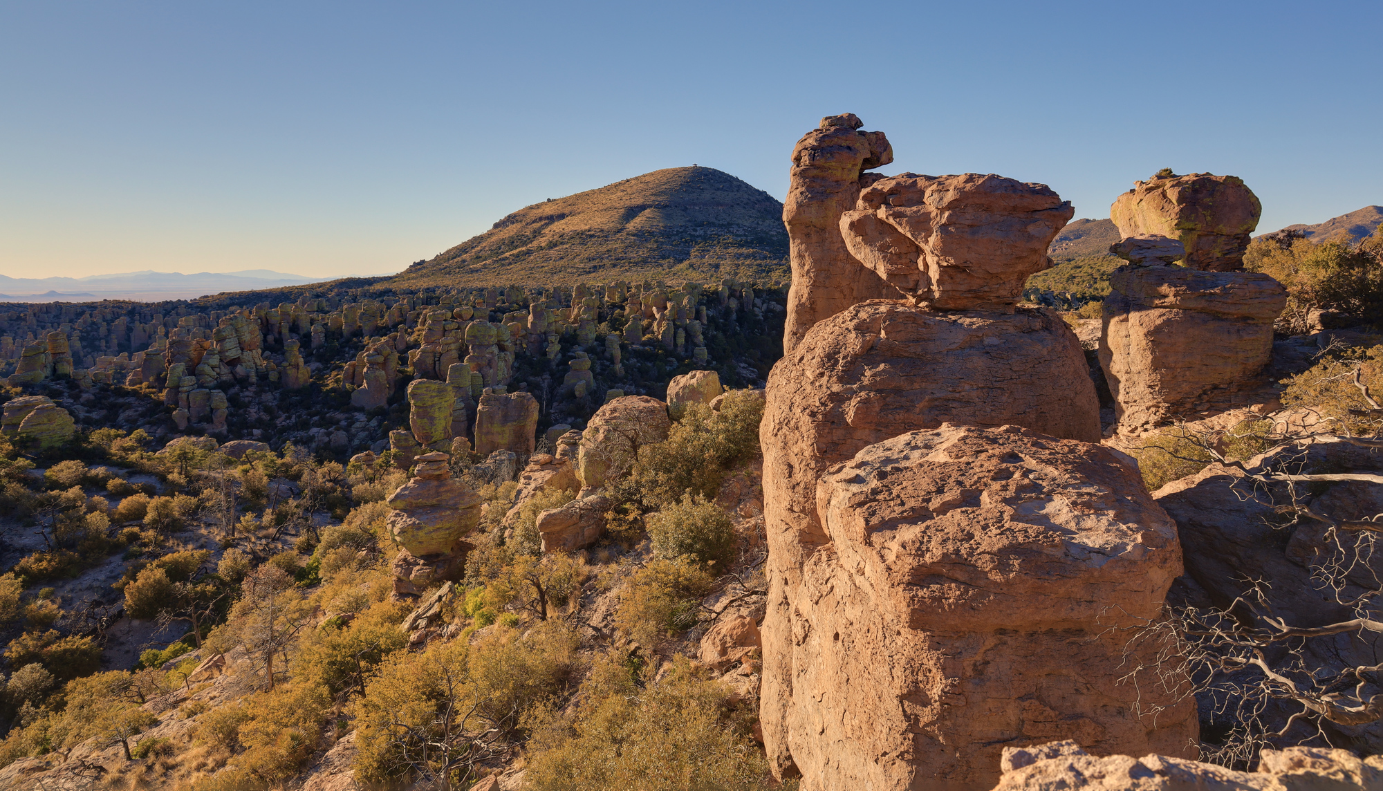
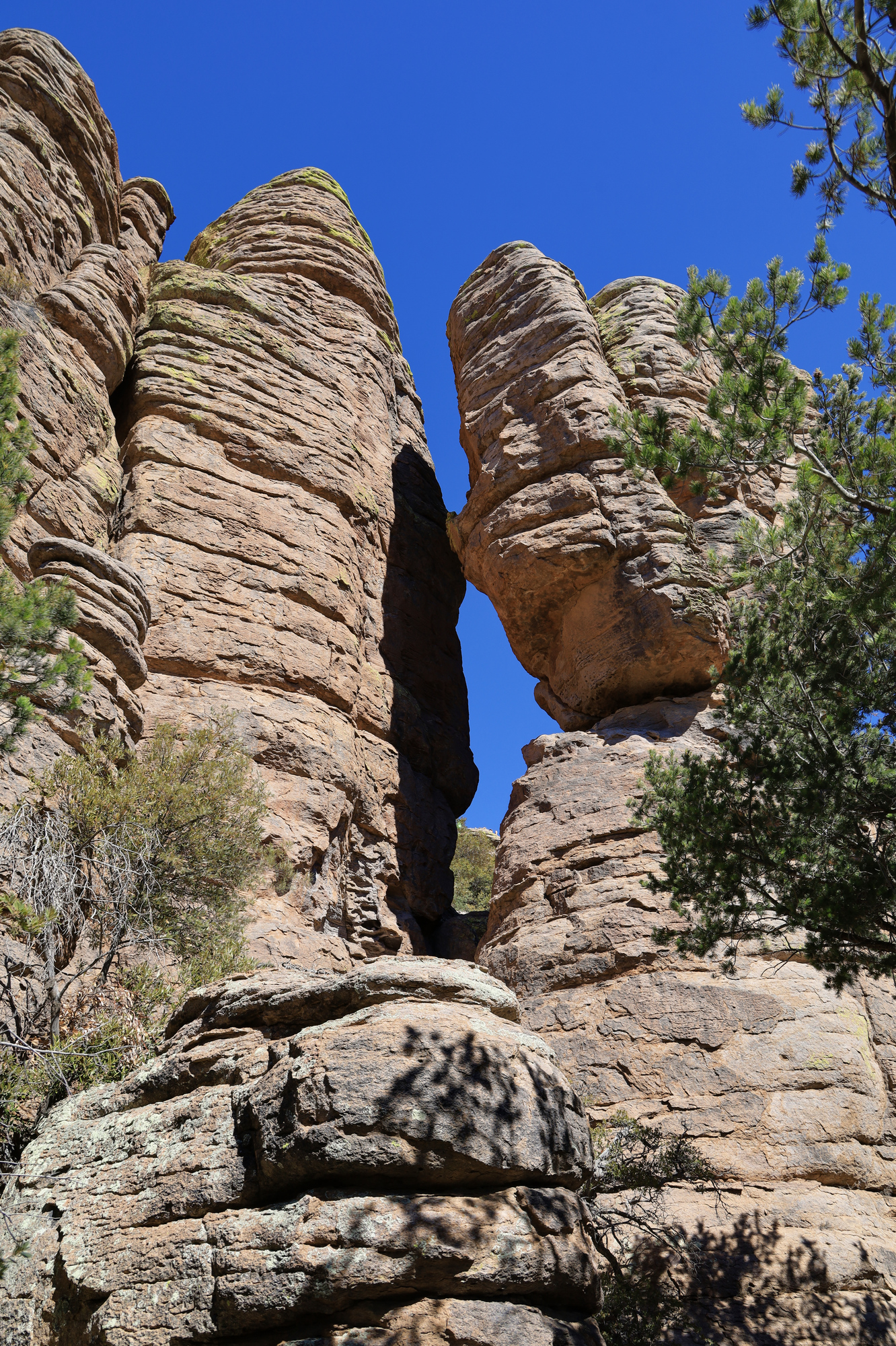
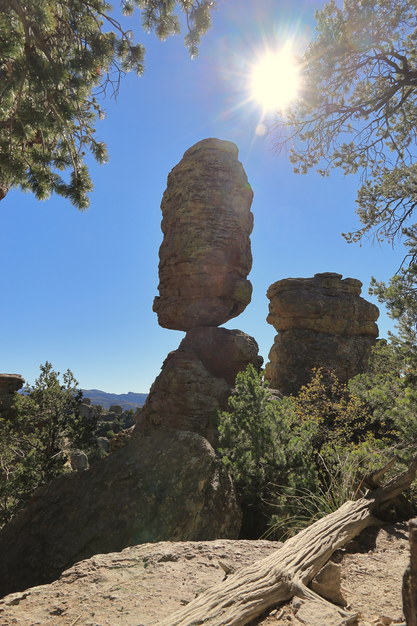
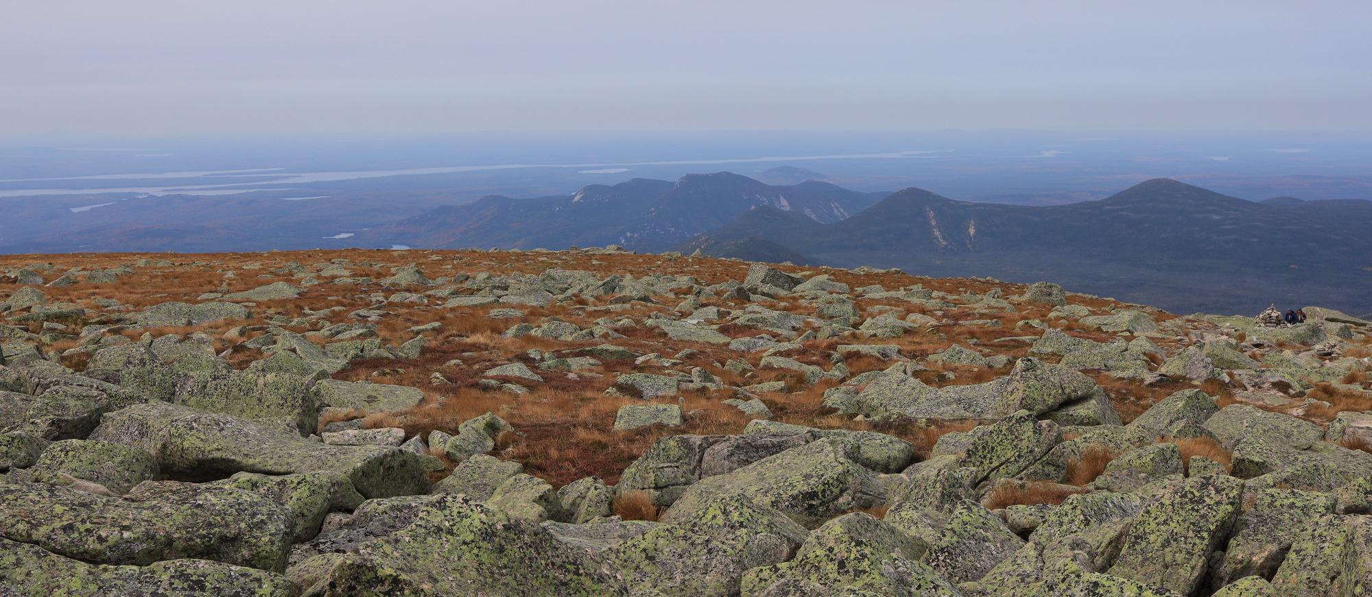
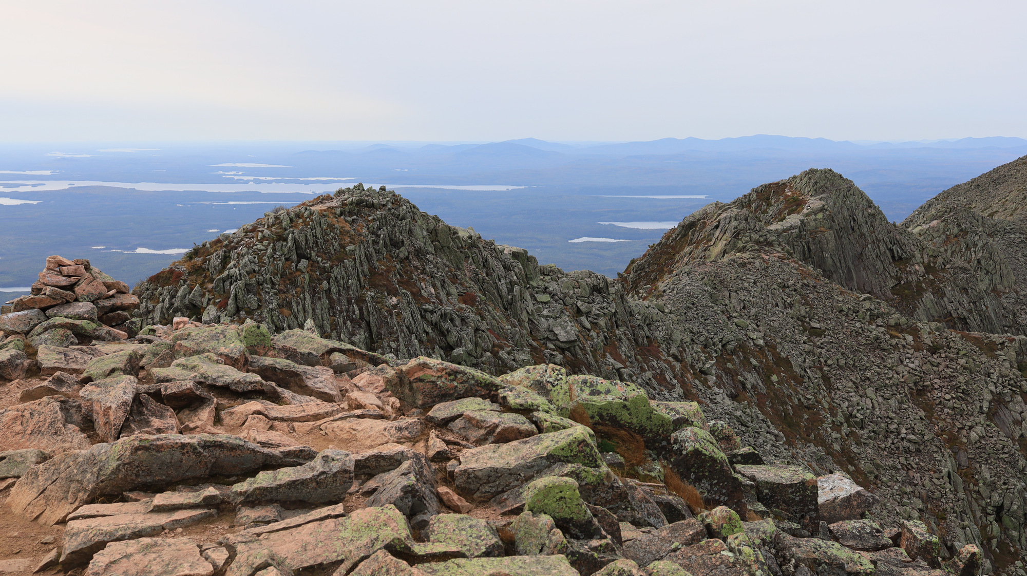
We soon arrived at the Heart of Rocks loop and took a short break for some water and a snack. This is clearly a popular destination, and we quickly started seeing many more people than we had earlier on our hike. We made our way slowly around the loop taking in the many different rock formations, many of which had names (though some were more clever than others). Though it is a short loop, it’s packed with hoodoos of various shapes and sizes, and is definitely a sight to see.

The moon hanging over the top of a hoodoo
Punch and Judy arguing away
The heart of rocks

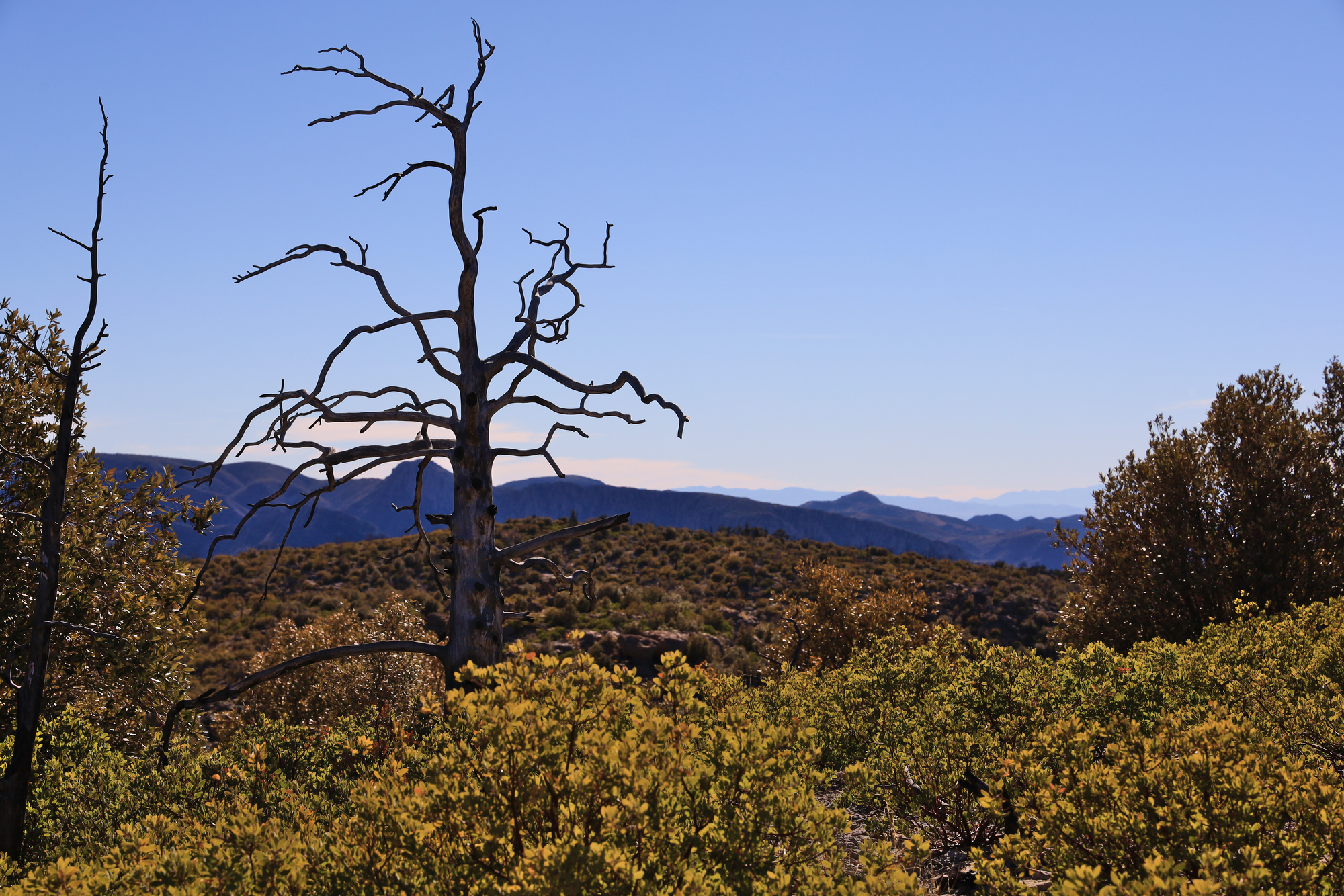
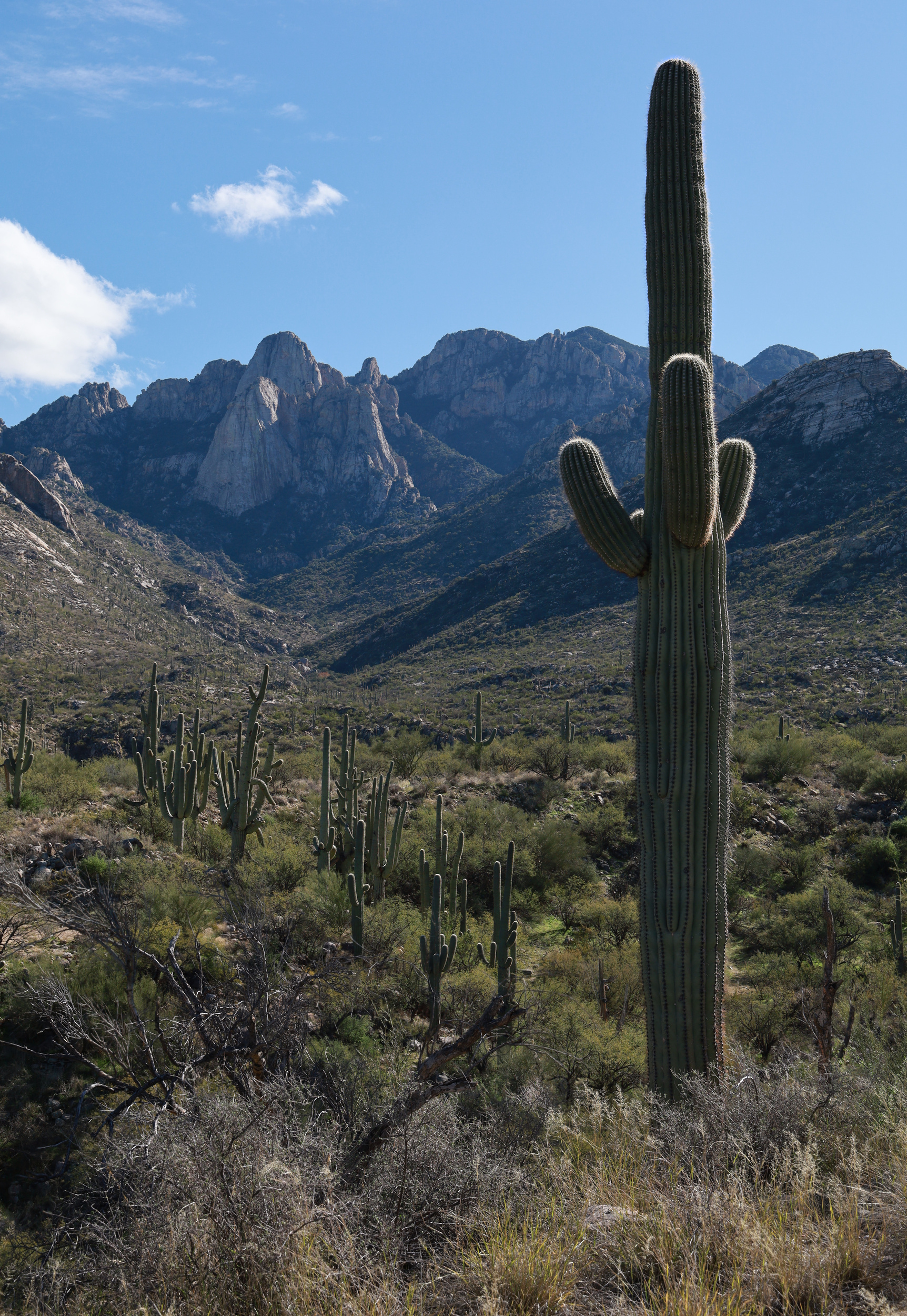
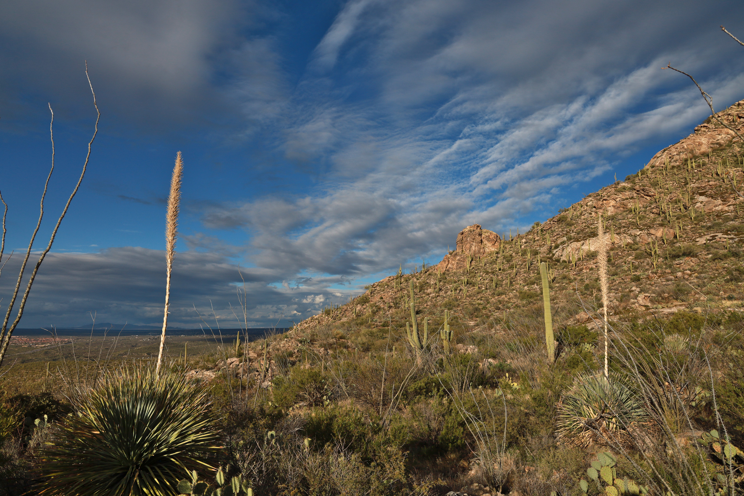
From there it was up along the ridge towards the trailhead. As we made our way back up we passed through areas where a fire burned in 2011. The difference between this area of the park and the canyon below was marked, with some areas nearly devoid of vegetation. As we continued up towards the trail head we started to see more large trees that had survived, but they stood among a number of blackened trunks as well. It was an interesting sight, that likely shows what the Catalina Mountains will look like in 10 years as they recover from the Bighorn Fire.

A lone burned out tree
This part of the canyon clearly escaped the worst of the fire

The last leg of the hike went quickly, and we soon arrived back at the cars. It was a fantastic introduction to Chiricahua National Monument.

Looking over to Sugarloaf Mountain from Masai Point

Taken 2/22/21

9/22/20 Mt. Katahdin and the Knife Edge

As nice as the previous evening was, the real purpose of the trip was slated for the next morning. We got up early and set out on the road to the Roaring Brook trail head. According to what we had read online we thought we had to be there early to make sure that we would get a parking spot at the trail head, so it was an early start. However, when we got there we were the first cars in the lot. Oh well, who needs sleep.

Once we were on the trail we quickly started gaining altitude as we climbed the Helon Taylor Trail. Before we knew it we were above the tree line heading for Pamola Peak, which towered above us for the whole climb. The views around us kept getting better, but it didn’t really sink in until we arrived at peak itself. In one moment as we crested the ridge the entirety of the knife edge trail and the towering Baxter Peak were on full display. It was quite the view, but one that I was not really able to capture in a photo very well.

The first view of Baxter Peak

After a short break to grab a snack, it was off towards the chimney section. This was where the trail started to make me think “Ah, this is what they mean by exposure.” Just barely past the summit the trail immediately descends a wall of rock to a small saddle, only to immediately climb right back up a similarly steep face. According to the map this section is only about 100 yards long as the crow flies, but descends and climbs 100′.

Looking down at other hikers on the descent into the chimney section

Once past the chimney we started really making progress up the ridge. I found this section of the trail to be the most interesting. I had been warned before hand about the exposure on this trail, but I was not expecting it to be this significant. For around the next half mile the trail was consistently narrow with large drops on one side or the other. Fortunately most of the trail has a rock face or boulder to reach out to and give you some comfort, so in the end it was not as frightening as I was expecting either.

Definitely lean left through here

Now one thing I saw many times before hiking this trail was to be careful about the weather. The last thing you want is to be on a ridge like this in bad weather. Fortunately, we had a pretty comfortable day, with no sign of rain. Unfortunately, there was a steady 30 mph wind blowing across the ridge. This certainly made things more interesting, and there were multiple spots where we had to “hike” with our hands on the ground to make sure we did not get blown off balance. I’m just glad it wasn’t gusty.

One of the last really narrow sections
Looking up towards Baxter Peak

Soon enough the trail widened up a bit and the drops got slightly less sheer. The trail was still exposed, but now more like something that you might find at other summits. We climbed up the rest of the ridge and stopped for lunch just before the top. Once there, the character of the trail changed completely. Suddenly we were hiking across a gently sloping boulder field with alpine grasses all around.

Not hiking on knives any more

We slowly descended down the ridge on the other side of the summit where we were greeted by the next surprise. Our route down into the valley, chosen because it was the gentlest descent, turned out do drop straight down a rock slide. It made for awesome views, but also slow going. It was not until we were much lower in the valley before we were really able to pick up the pace.

The trail here goes straight down

From here on out the trail was very manageable. It featured a number of pretty views, a couple of bridges, and a pond. We knew we were close to done when we met up with Roaring Brook again for the final walk to the trail head.

This hike really felt exciting, and was a real treat after the isolation of 2020. I was really impressed at what Baxter State Park has to offer, and definitely want to return some other time to explore the rest of the hike. For now though it was back in the car to head back to civilization.

9/21/20 Baxter State Park

With all of the chaos that has been 2020 I decided I wanted to find something special to do. Given the limits on travel I was focused closer to home, and ended up setting on a trip up to Baxter State Park to hike the Knife’s Edge trail. I booked a lean to, completed my Maine quarantine, and headed up. My goal for the first day was to really just get up there and get set up for the hike the next day. However, it turned out to be an amazing day all by itself.

The first sight that caught my eye was the Medway Veterans Memorial Park in the town of East Millinocket. It was in a pretty little park just off the side of the road, but had an impressive tank on display as well. Given that I had been in the car for nearly 3 hours at this point, it was a nice little spot to stop and stretch my legs.

After another 20 minutes of driving I started to catch sight of the mountains in the distance. I made a few more stops to take in the amazing fall color and to simply enjoy the solitude. There isn’t much development this far north, so everything felt quiet and private, even when I was standing in the middle of a road.

Once I made it to the camp site I dropped off my camping gear at the lean-to and went for a walk along the Appalachian Trail. I hardly made it 100 yards before I was amazed at the beauty of this place. The tails were beautifully maintained, the landscape changed at every turn. I walked through clear pine forests, across small streams, through marshes, and over little hills.

The clear highlight of the hike though was the string of little ponds I wove through. The images above are from Grassy Pond. The glassy water perfectly reflected the mountains glowing in the evening light. I’m sure my hiking pace was slow as I stopped every quarter mile to take in another incredible view. Throughout all of this I never encountered another person. Some day I will have to come back here just to explore these ponds some more.

After weaving my way past Elbow Pond I ended up at Daicey Pond just as the sun was setting. Though I still didn’t run into anyone, I did see some signs of activity here. I could hear a few people cooking dinner at the campground at the end of the pond and saw the smoke from the fires floating just above the water. I also saw two people out enjoying the sunset in one of the canoes provided by Baxter. I tell you, this place has more to offer than any other state park I have seen.

After the colors started to fade I pulled out my headlamp and headed back towards camp. The last mile of the hike went by quickly. Once back at my lean-to I put together one of my top backpacking dinners: tortellini. Once the dishes were washed and all of the food was safely hidden in the car, I stopped by the group campsite to see how the stars looked so far north. Once again Baxter did not disappoint.

3/17/20 Delhi

When we woke up for our first full day in Delhi we started off with a difficult decision to end our trip early. As the COVID-19 outbreak got worse at home we became more and more worried that severe travel restrictions in the US would make it impossible for us to get home. We started the process early in the morning, but knowing the flights would take time to arrange there was nothing to do but make the most of our day.

We started off with a walk near the hotel before we met our guide and driver once again. The first stop was the Sri Bangla Sahib Gurudwalla, a Sikh temple not far from our hotel. Our guide was Sikh as well, and I really felt it showed through in his tour. He helped me put on a full turban, and told us all about the details of the Sikh religion as we toured the beautiful temple.

Next up was the Jama Masjid, one of the largest mosques in India. We had a relatively quick walk around the complex and its alcoves. The architecture here was once again quite different than the other sights we had seen thus far. The combination of red sandstone, white marble, and black marble inlay was very striking. The crowds here were also pretty this, so we felt like we had the place to ourselves.

We then hopped in an electric rickshaw and took a spin through the markets of Old Delhi, Chandni Chowk. We spent about 45 minutes weaving our way through heavy pedestrian, rickshaw, animal, and bike traffic as we took in a few different parts of the market. Each street had it’s own focus, so the wares kept changing around us as we puttered along. We also stopped mid way through to visit a spice market where we picked up some tea for home. The guide said that this was the tour of the “real India,” and it certainly felt that way.

After leaving the market, the rickshaw took us back towards the car, and on to the next sights. By this time it was becoming more and more clear that the country was closing down around us. The government had announced the closer of all cultural sights, including the Taj Mahal. Thankfully, we also found out that we were booked on a flight out of Delhi the next morning that would take us back home. With that settled we felt like we could relax a bit, but unfortunately there wasn’t much more that was still open.

We drove by a couple of the big sights including the Red Fort and the Lotus Temple. The guide took us by a co-op that made Kashmiri carpets where we watched a demonstration of how they were made. We were enjoying our cup of tea when we found out why this whole demonstration had been set up and had to turn down a hard sales pitch. We just don’t need an expensive carpet in the house.

We eventually had a late lunch and then headed back to our hotel for some rest. We did venture out one more time for a walk around Connaught Place, but it was only a short adventure before we came back and got some rest in preparation for our very early flight.

Our trip to India was unfortunately cut far to short. At the time we both felt robbed by COVID-19 and the fact that we had to cut our big adventure so short. We never even made it to the Maldives! But at the end of the day we are extremely thankful that everyone made it through safely and that we made it to the wedding we came for. We will just have to come back another time to get the full experience.

3/16/20 Patiala to Delhi

Today I have a three different sets of photos to share from our travels in India. I know it’s a lot, so just imagine how we felt the day of! Let’s dive right in.

After wrapping up the wedding festivities we were ready to continue the adventure by visiting the sights in Delhi. We started off with a taxi ride up to Chandigarh to catch our flight. As you might imagine, even just the ride was an adventure for us, complete with seeing an elephant on the road.

We had a short flight to Delhi where we met our driver and guide. We started by visiting the Qutb Minar, an minaret and “victory tower” from the 12th century. Given its height the tower was quite impressive, but personally I was really blown away by all of the intricate carved sandstone around the site. The intricacy and depth of the carvings was unlike anything we have seen before.

The colors of the stone were also very beautiful. patchwork of different colors in the walls gave the whole site a lot of character. We only ended up spending about an hour at the site, but I would definitely be up for another visit in the future.

We got back in the car and headed towards the heart of New Delhi where our hotel was. We made a few small stops along the way to see a couple of the main sights in the area, including the Rashtrapati Bhavan, the home of multiple government offices, and the India Gate, a WWI memorial.

After a couple of photo stops we headed to our hotel to unwind for the evening. Even that proved to be an experience though: Our room included a small statue and a beautiful view of the Jantar Mantar, a set of large astronomical observatories built in the 18th century.

All in all it was a long and exciting day, but also one punctuated with more and more bad news about the spread of COVID-19 around the world, so we got to bed early so we could rest and recuperate.

3/13/20 Patiala India

This year we had the pleasure of attending the wedding of a couple friends in India. Given that we had never been there before, we jumped on the opportunity. After a series of Coronavirus cancellation scares, a three flights, and an hour cab ride, we arrived in Patiala where the wedding would happen.

We spent some time resting up after all of our travel, but then headed out into the city to do a bit of exploring and shopping. We spent some time walking the main street of the local market, and then found some local shoes, called Jutti.

After our shopping adventure, it was back to the hotel to enjoy some of the amazing food we had all through the weekend.

2/22/20 New York City

A couple weeks ago we went to New York City to see the “Harry Potter and the Cursed Child”. We took the train down and stayed at a hotel near Broadway. We spent most of the day on Saturday walking around the city and attending the play. Although I still don’t know who this “cursed child” is, the play turned out to be pretty good. The special effects in particular were top notch.

On Sunday the weather was amazing, so we decided to spend our day outside, and headed to Central Park. It was a little odd to have it feel like spring in February, complete with the flowers coming up! All in all it was a great trip to New York.

12/26/19 Pusch Ridge Hike

The day after Christmas was a busy one for our family. We had plans to have a big gathering, dinner, and gift exchange. After the rain the past couple of days though I felt that I wanted to get out for a bit of an adventure. I settled on hiking a new trail that I had very little information about which leads up towards Table Mountain.

I started off in Catalina State Park just past the ranger station and headed up into the foothills. The scenery looked wonderful from the very beginning. With all of the recent rain, every time a tree or hill was providing some shadow, the desert was incredibly lush and green. Fresh grass seemed to be growing all over.

As I got closer to the ridge the trail got steeper and the views of the cliffs above got more and more impressive. The trail really provided a unique view of the ridge that I have not had a chance to see before. Usually I am hiking either on top of the ridge, or in one of the canyons. This was unique because I was hiking up a side ridge. For the final bit of the climb the trail got pretty faint and I ended up bushwhacking the last bit before the side summit I had picked as my destination.

After that it was a race back down the hill to make it home in time for dinner. I decided to take a chance on a different route out, and it paid off. The trail took me out to a neighborhood just off of Oracle road where I got picked up. I even made it back in time for dinner.

12/24/19 Biosphere 2

In an unusual twist, Christmas Eve was a rainy in Tucson this year. A number of my cousins were looking for something to do while staying dry and settled on Biosphere 2. I have been here before, but liked it enough to be interested in going back.

The very short walk to the entrance of the facility turned out to be very very wet, and we were pretty well soaked by the time we made it in. After exploring the exhibits at the entrance a bit (and drying off) we went on a tour. I pretty much hung out near the back of the group snapping pictures of all of the interesting plants, flowers, and mechanical wonders. Fortunately it had stopped raining by the time we left so we made it back out without a second soaking.

12/21/19 Tohono Chul

After our afternoon hike we visited the Tohono Chul Botanical Gardens for their Holiday Lights event. This was my first time at Tohono Chul, and I enjoyed it. There were many many decorated cacti and trees, art, sculpture, and live music. One stand out was a performance by Gabrial Ayala on the guitar. His music was outstanding and he had no trouble filling the room.